![]()
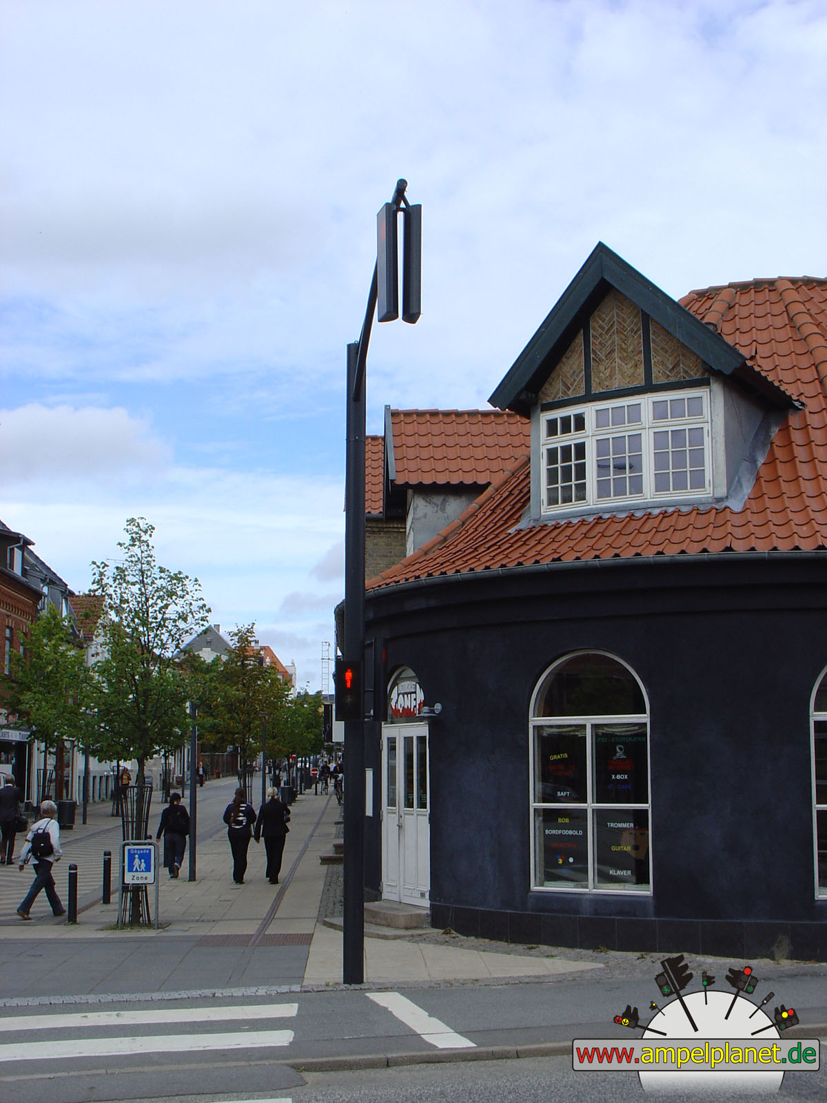
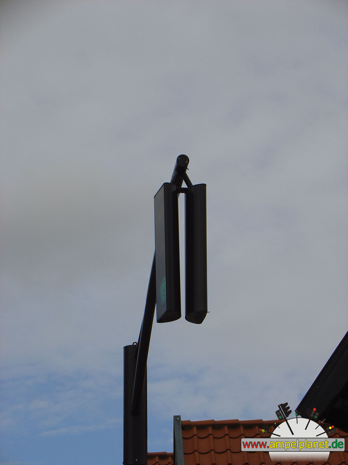
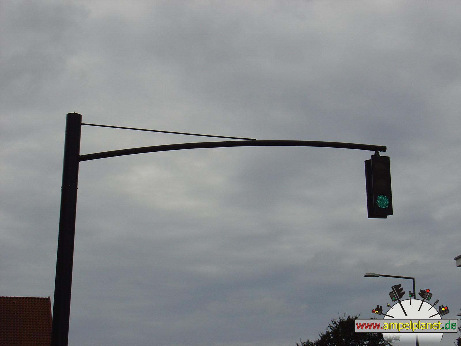
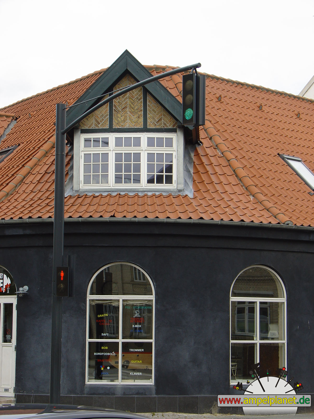
Duisburg, 09/2014 NEU
Ampelfotos
Auf dieser Seite sind viele Fotos von Ampeln aus Deutschland und verschiedenen Ländern aufgeführt. Durch die große Anzahl an Fotos benötigt diese Seite ggf. lange zum Laden! Über das Quicklink-Menü gelangt ihr schneller zur gewünschten Fotoserie eines bestimmten Ortes:
|
|
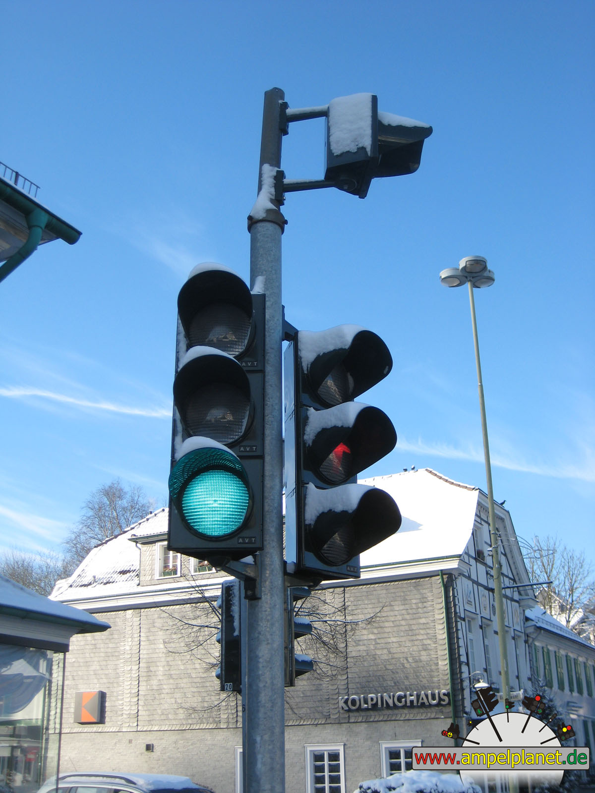
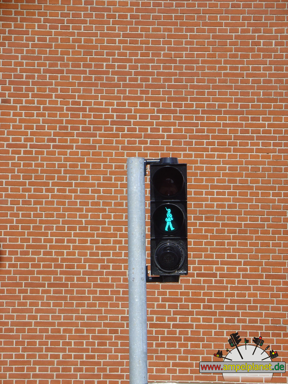
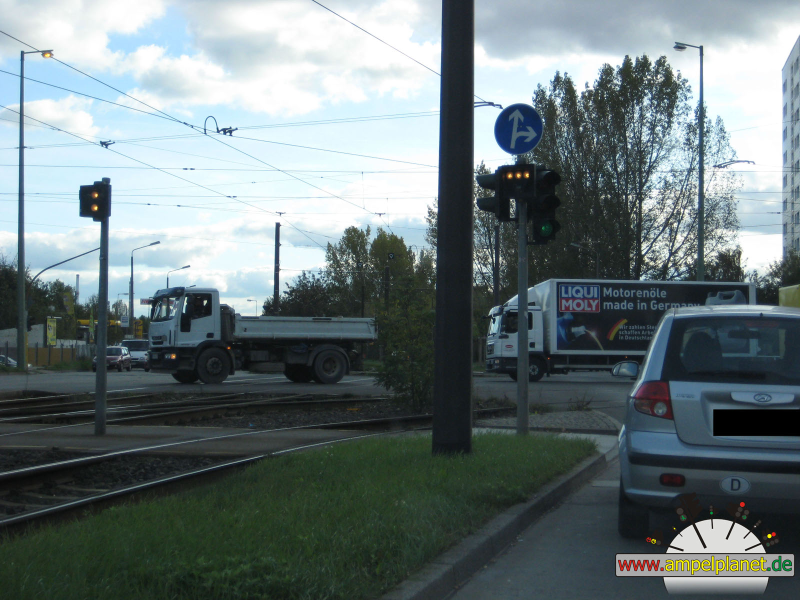
Duisburg, 09/2014 NEU |
|
|
|
|
|
||||
|
|
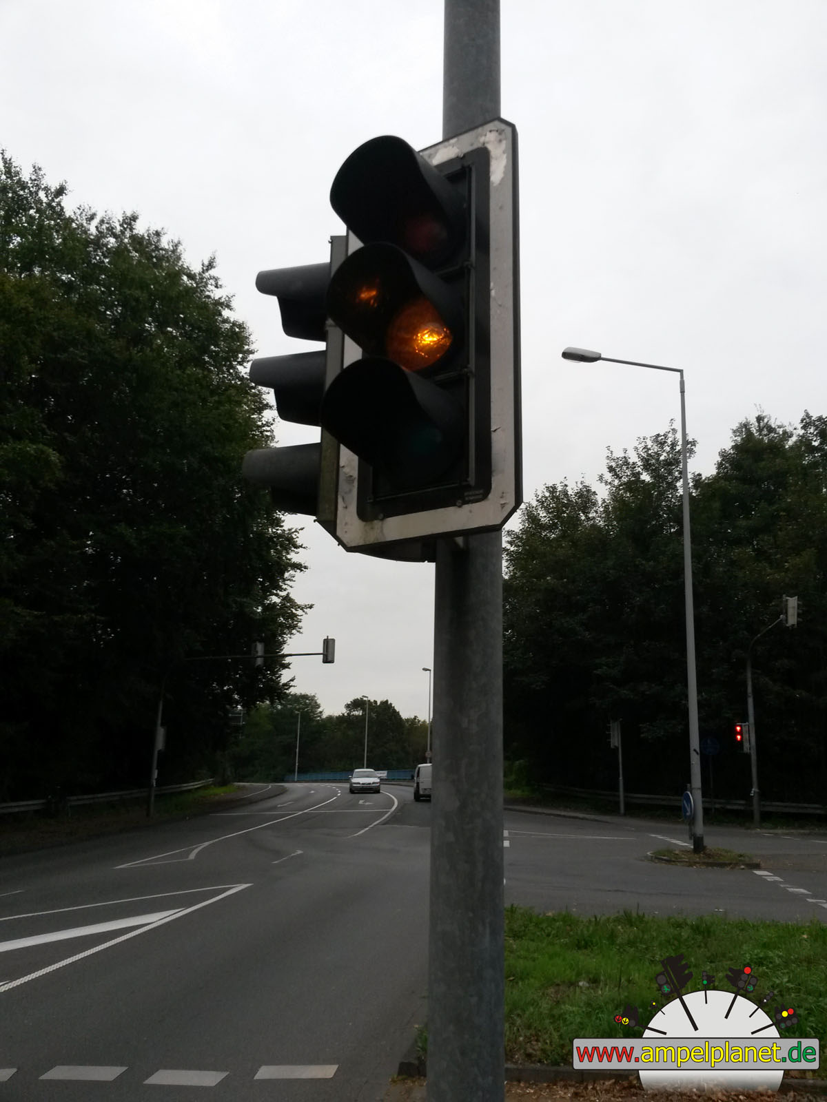
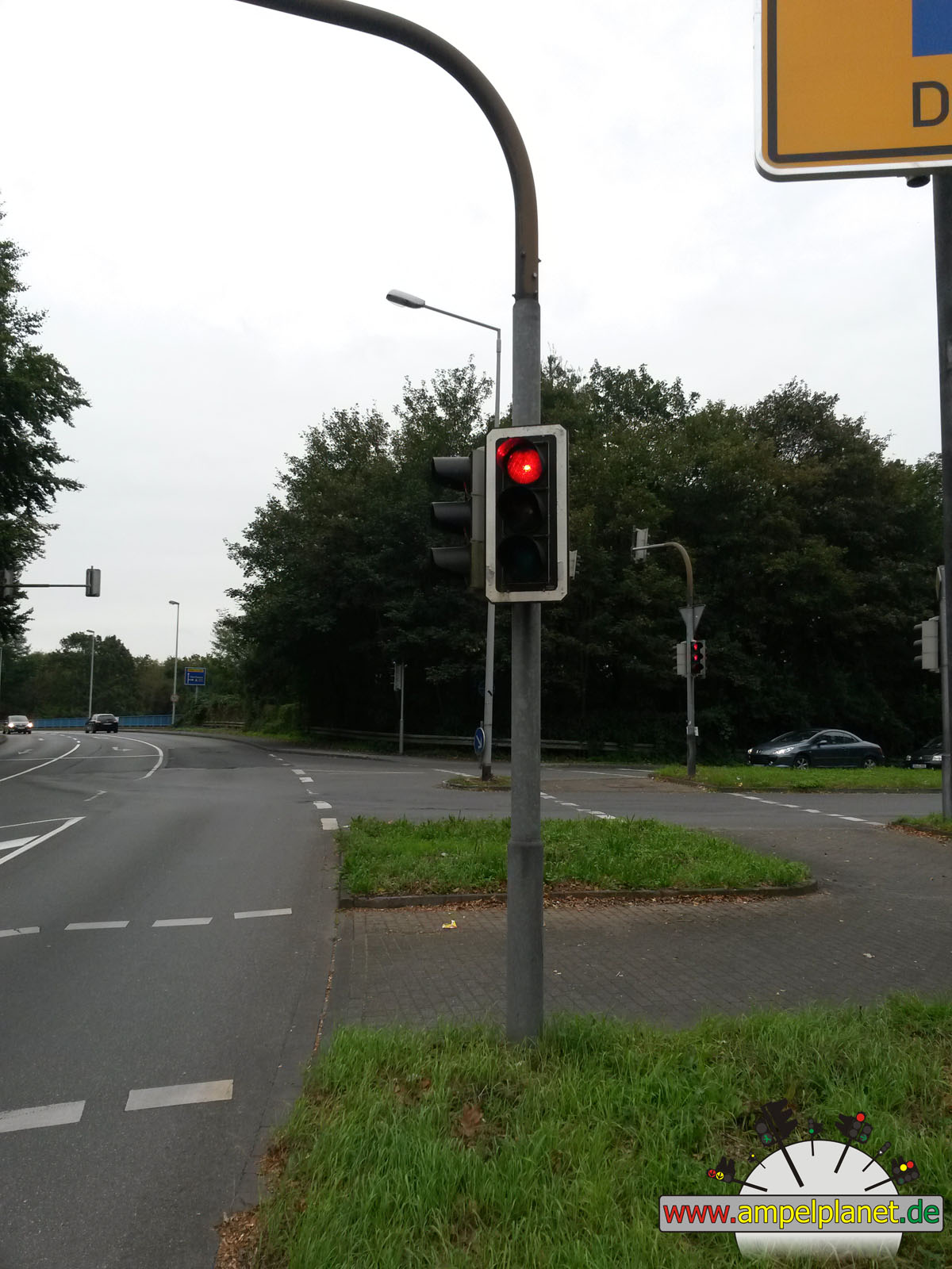
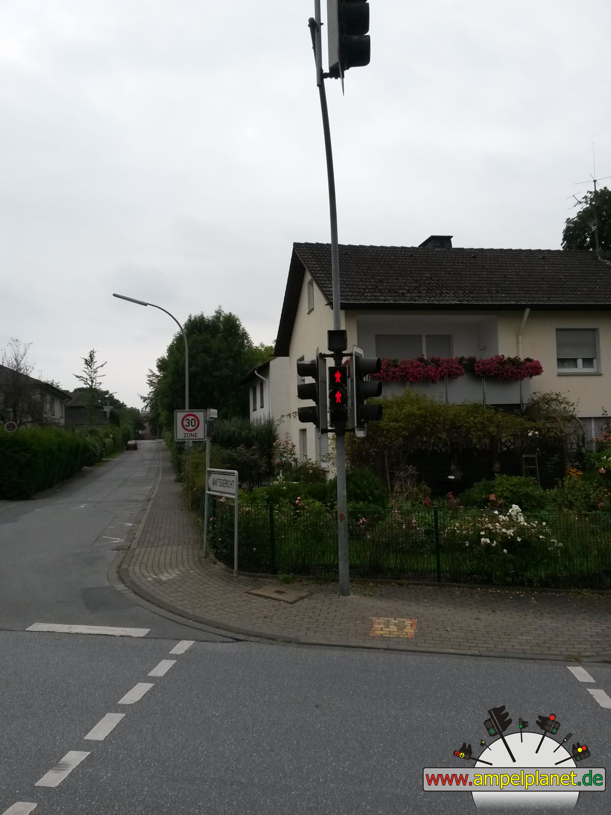
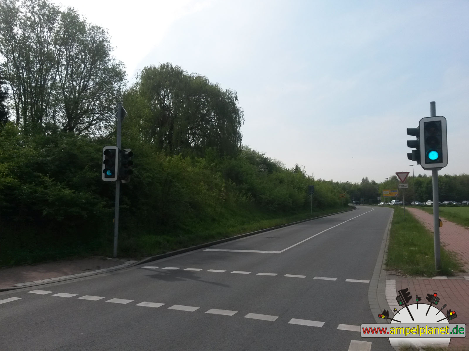
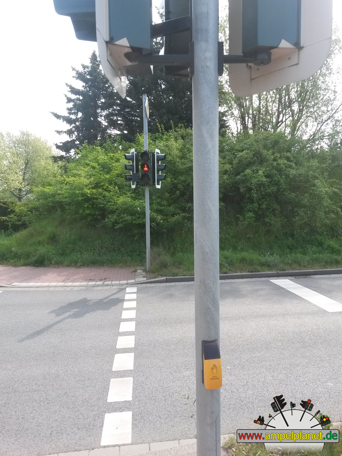
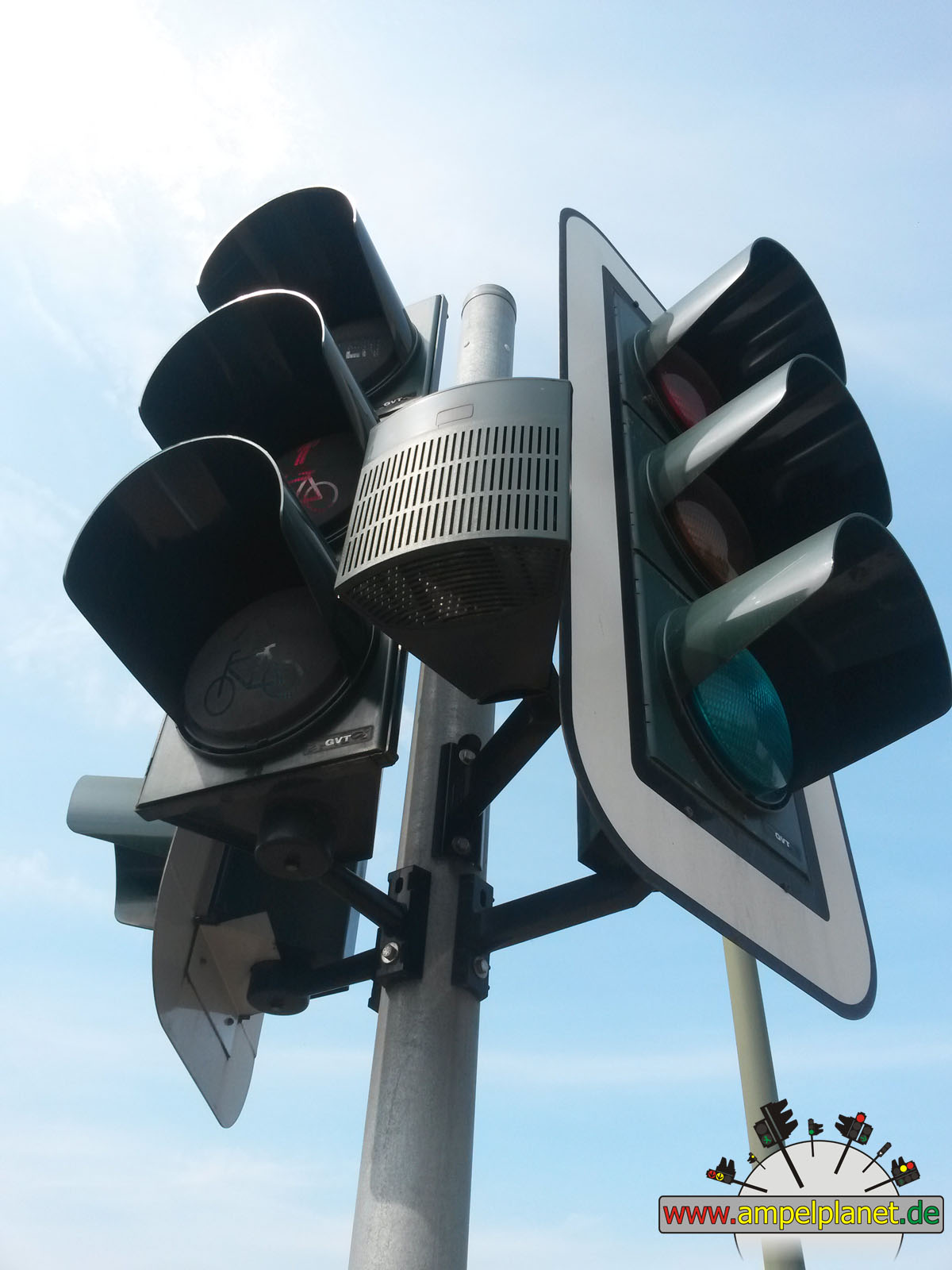
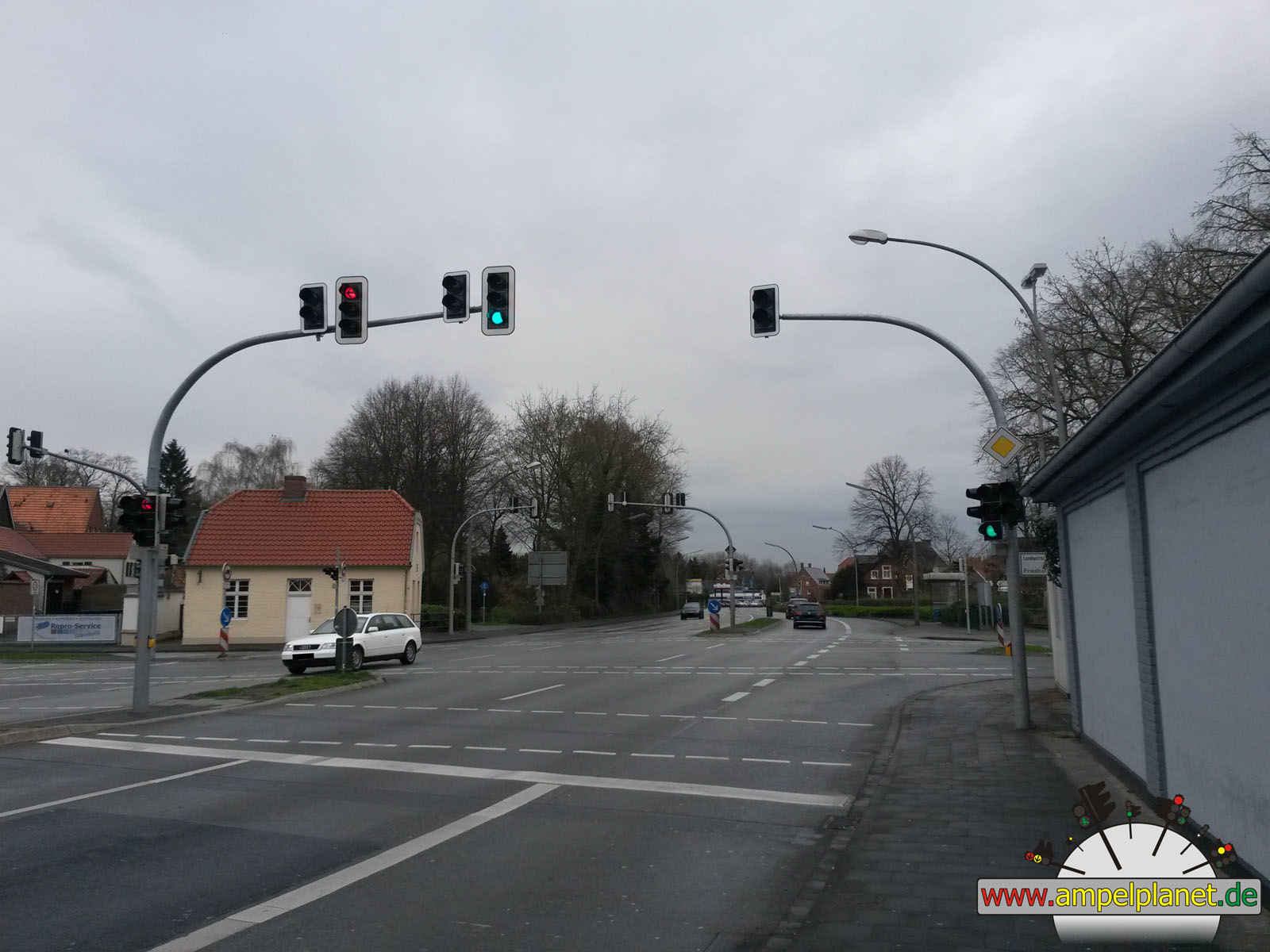
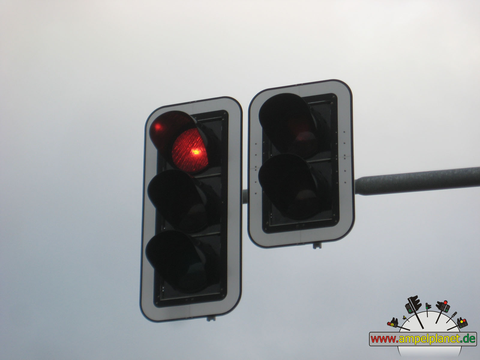
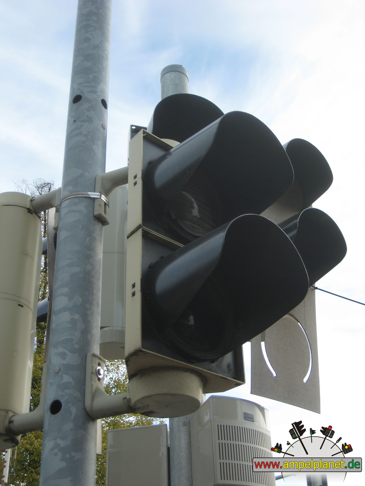
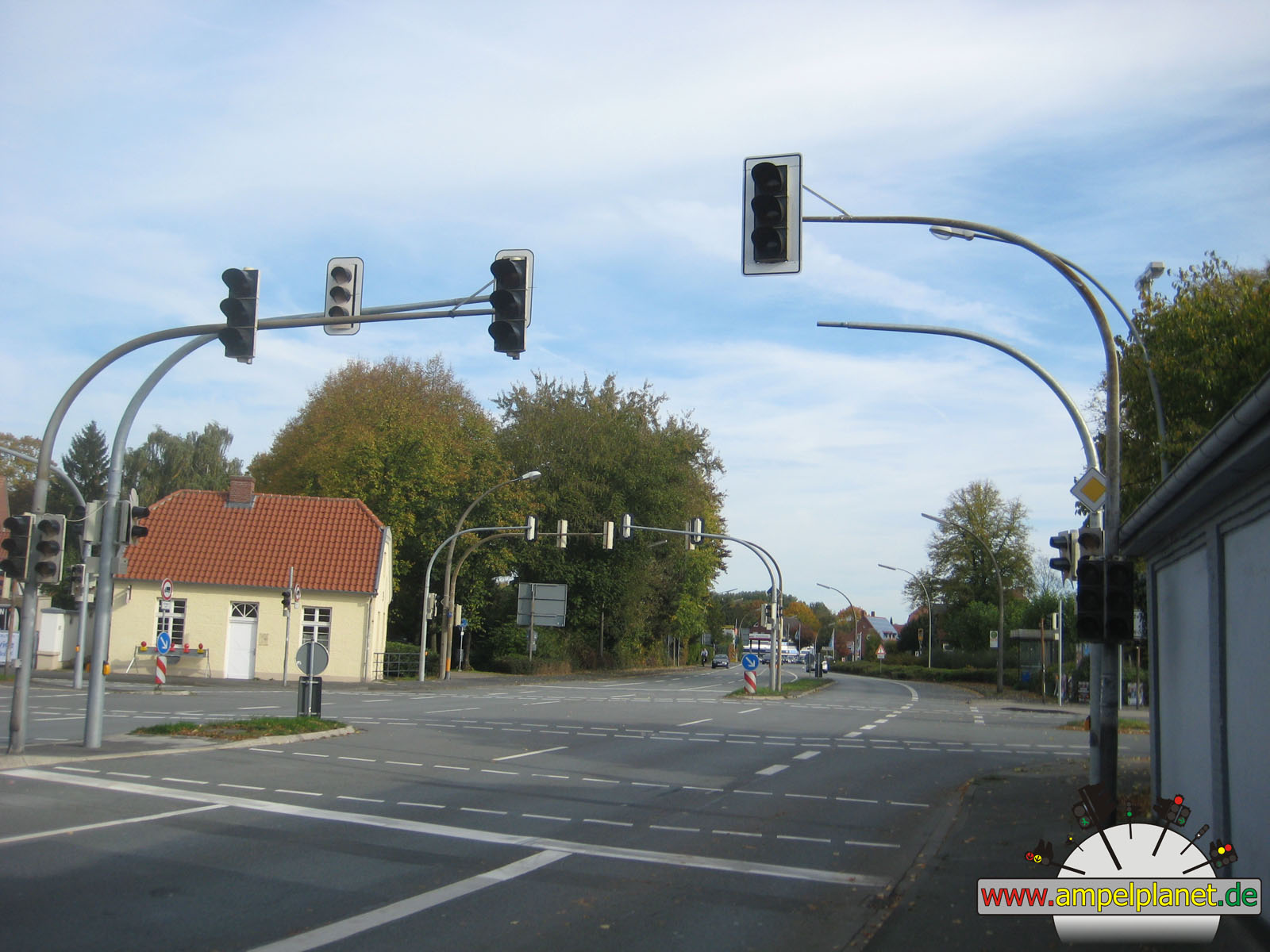
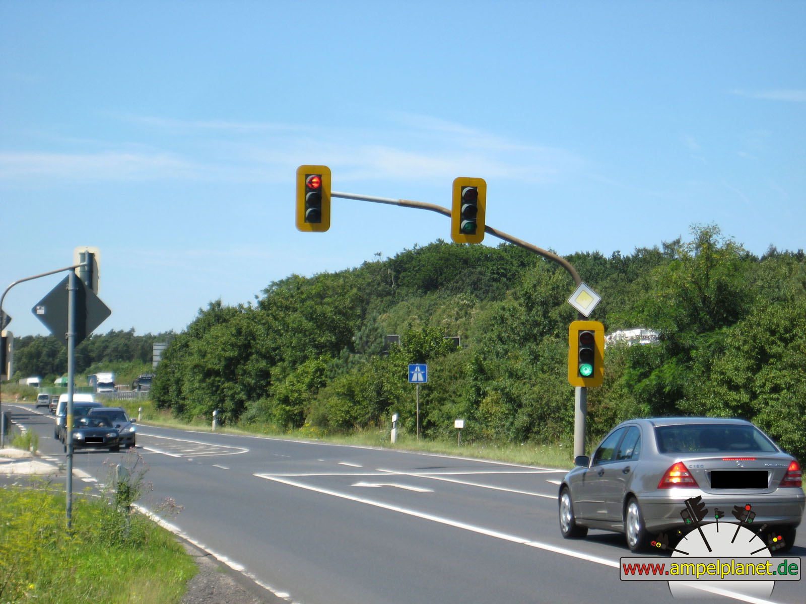
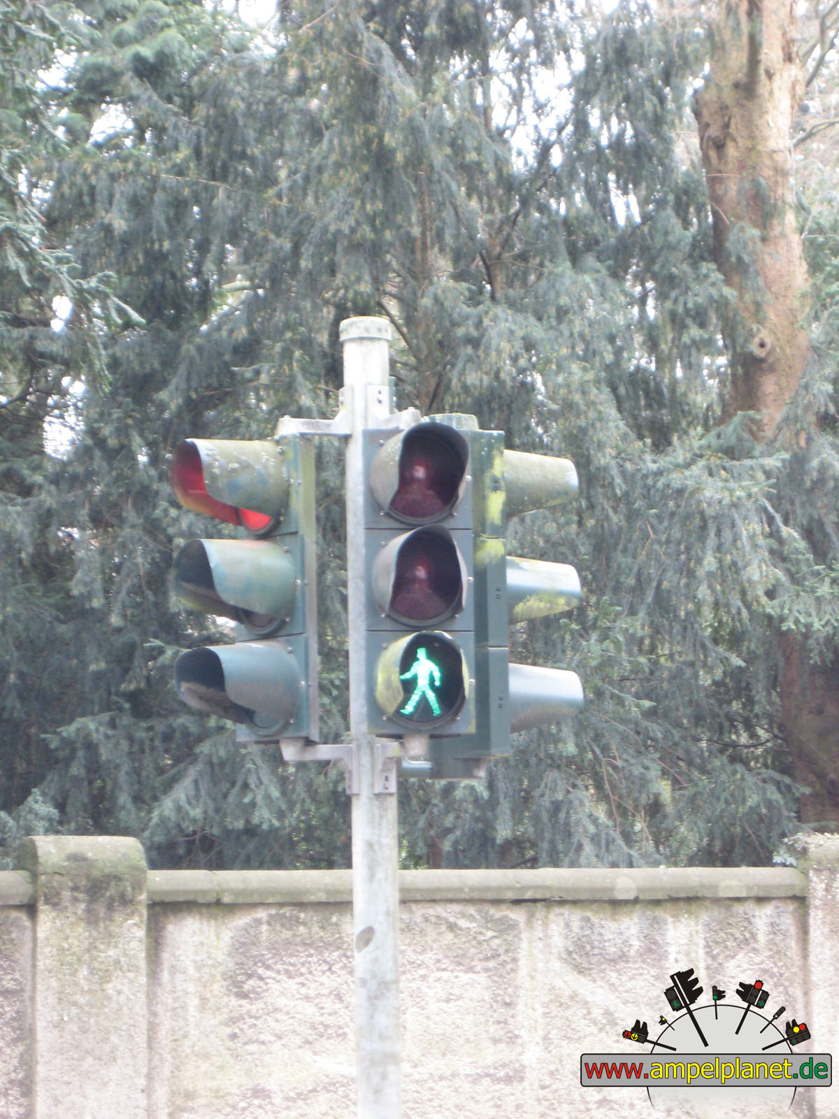
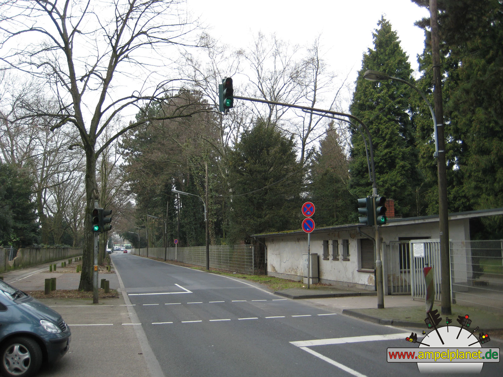
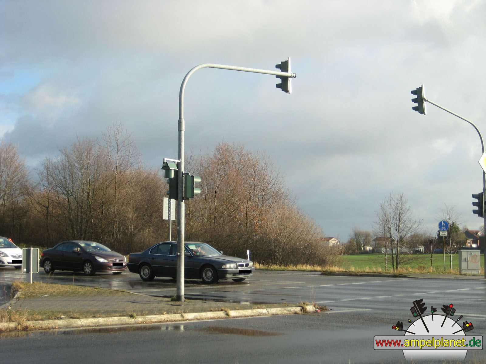
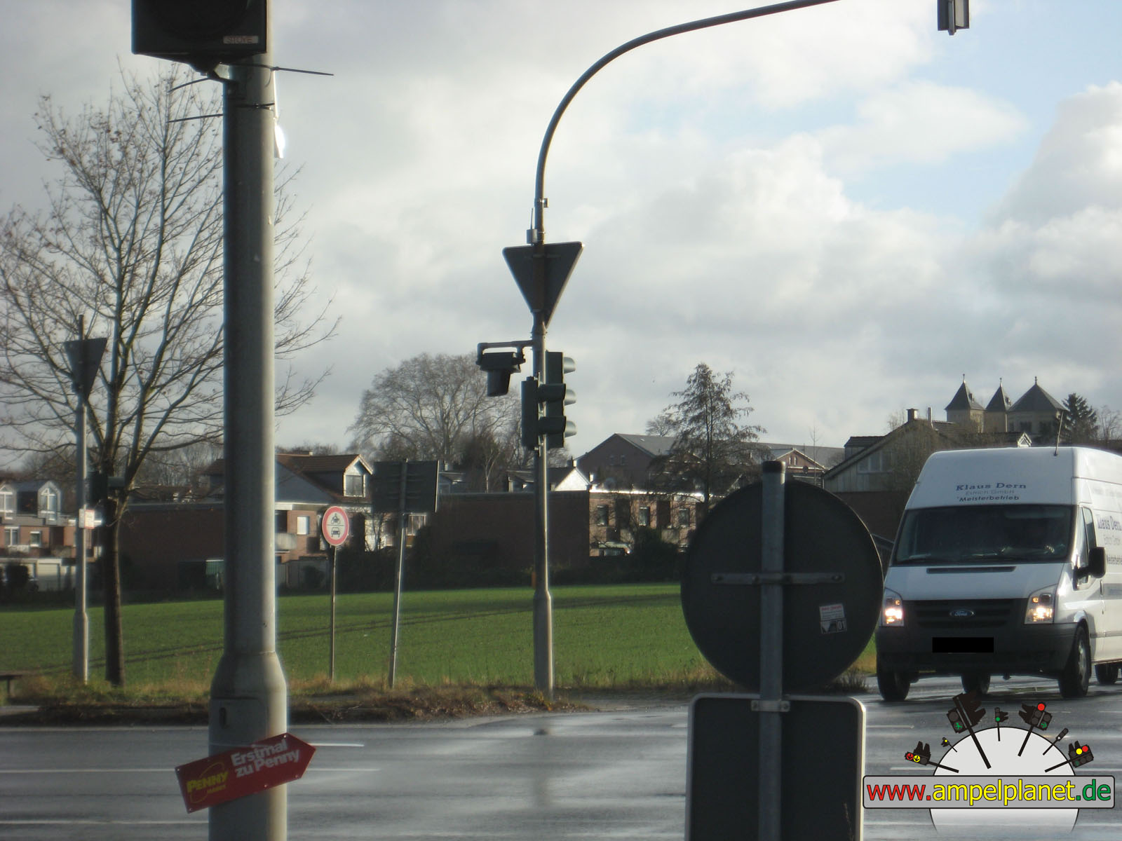
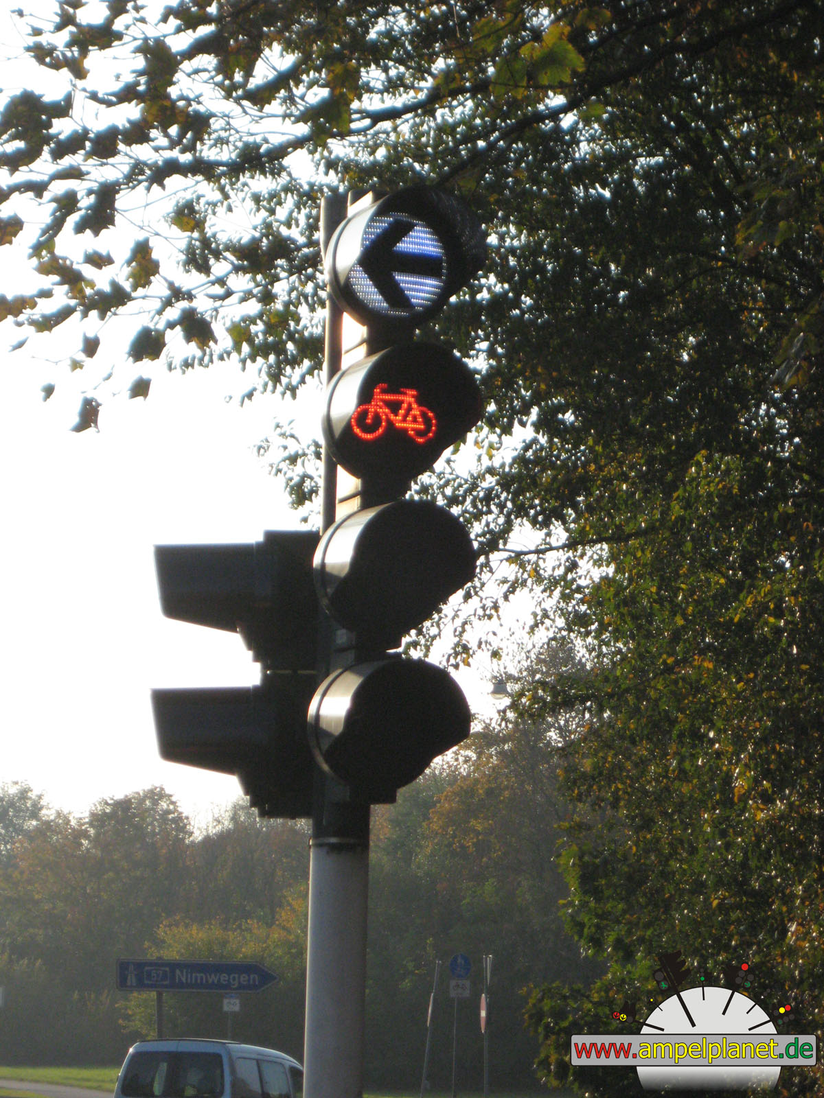
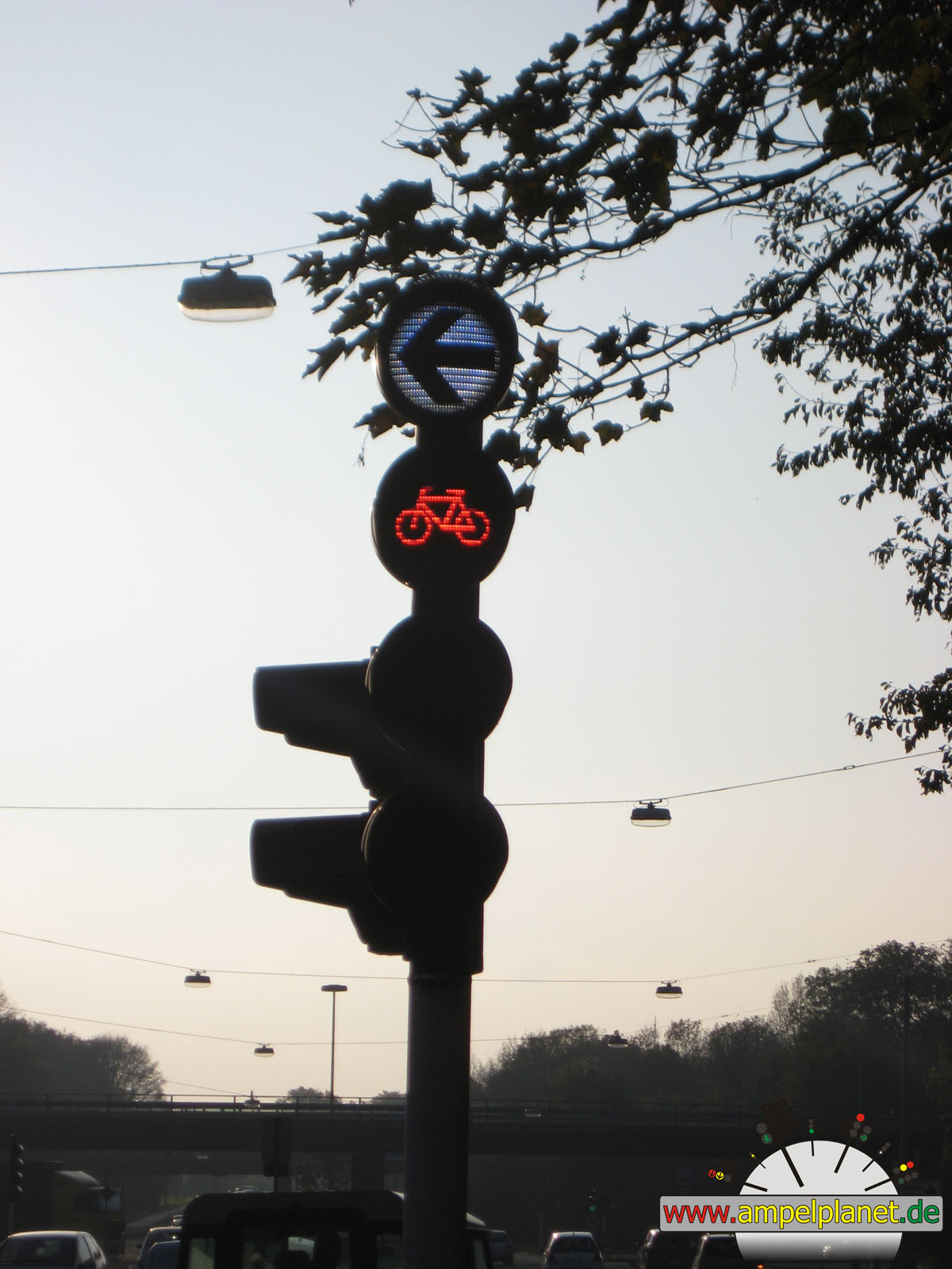
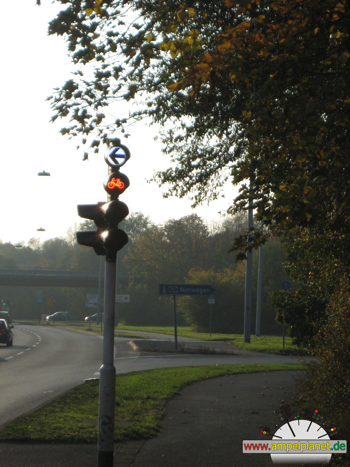
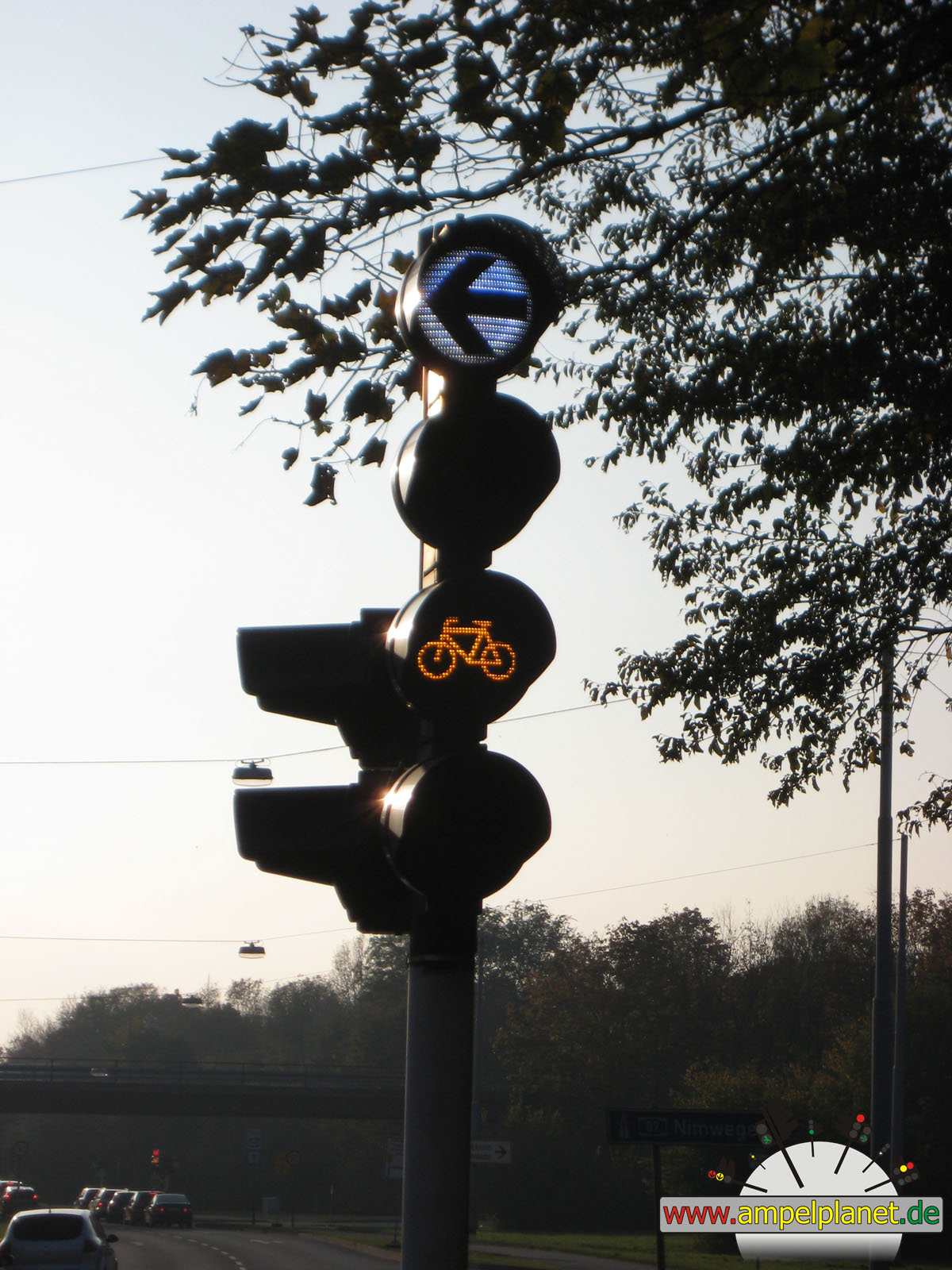
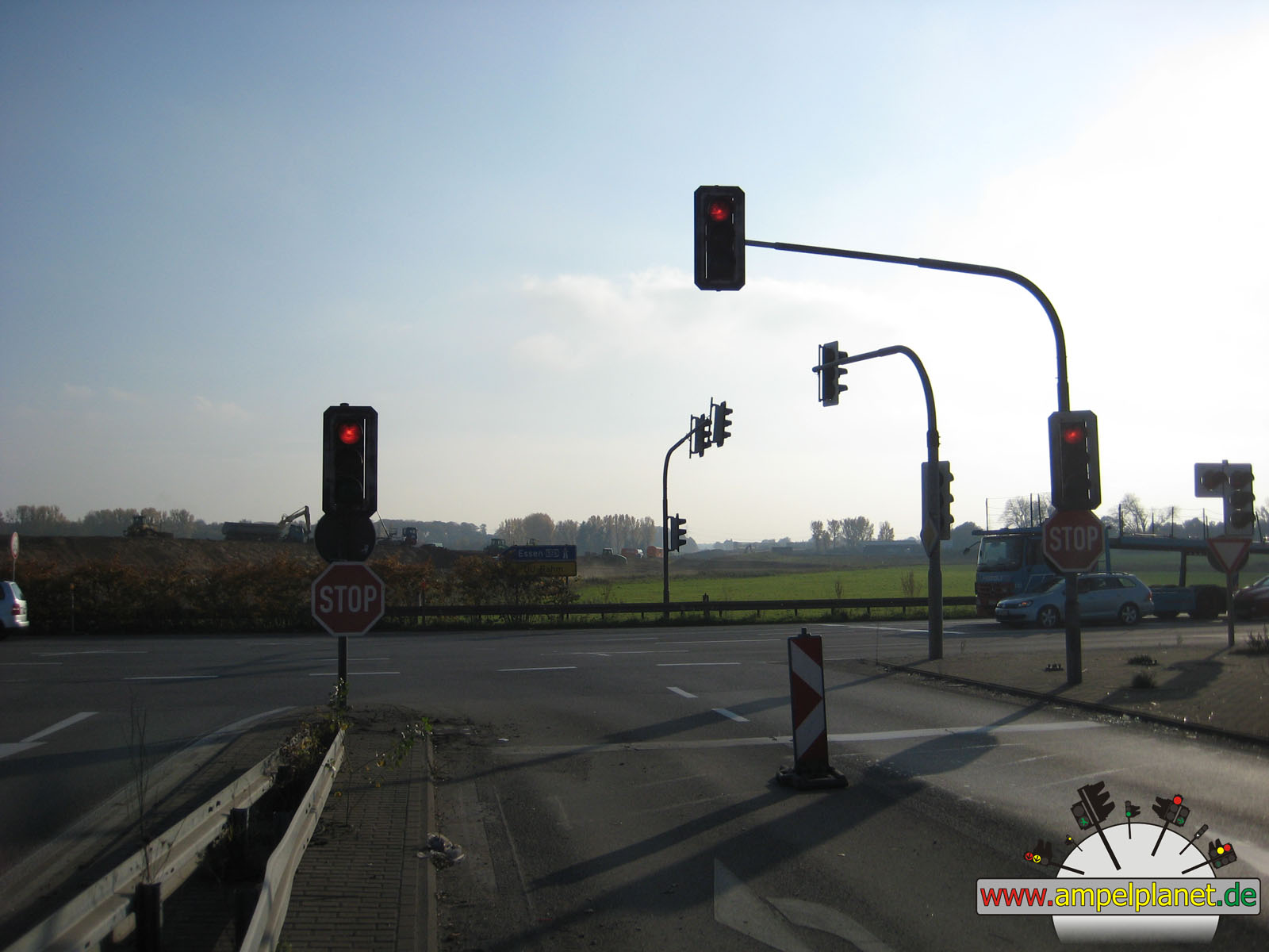
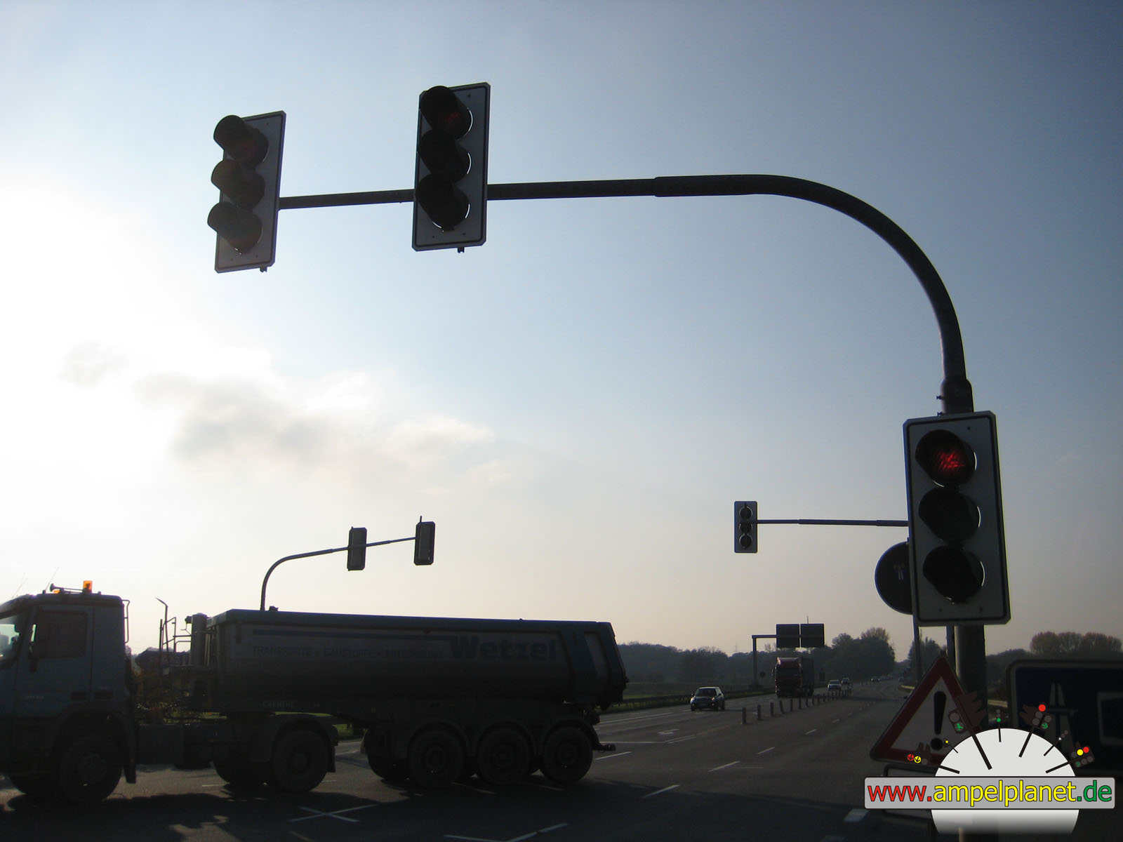
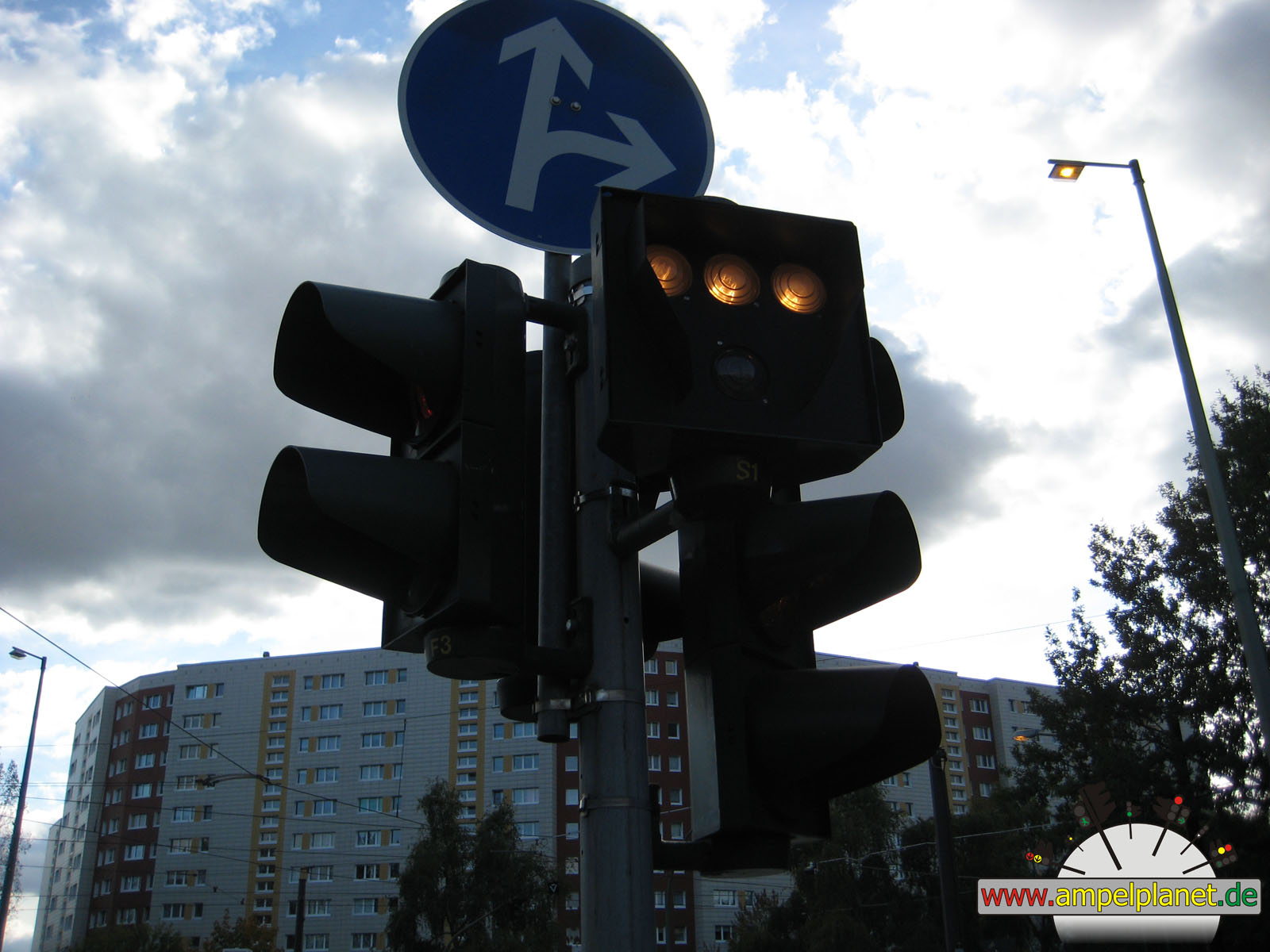
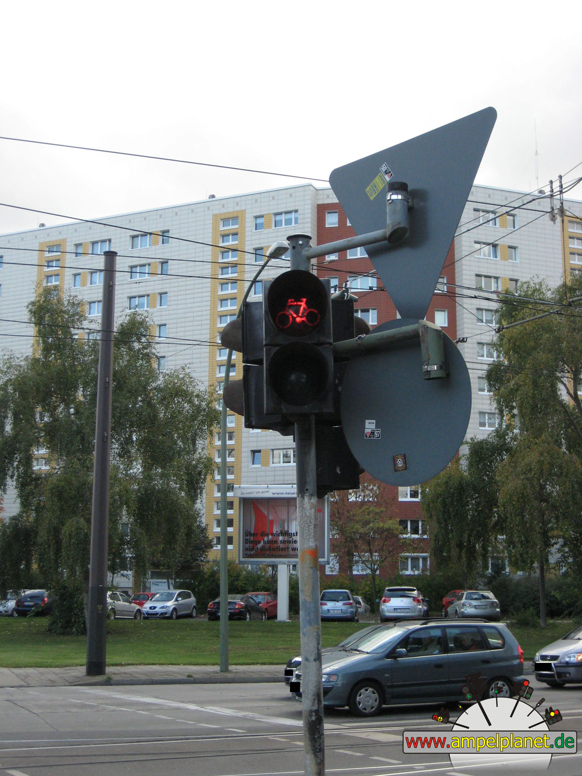
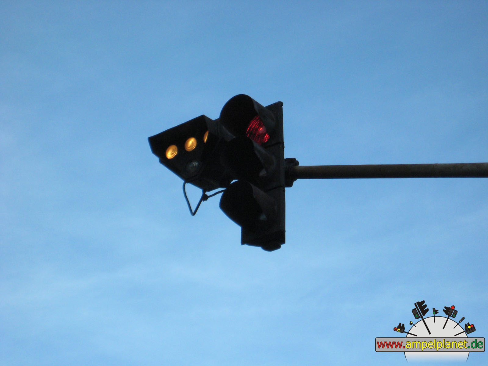
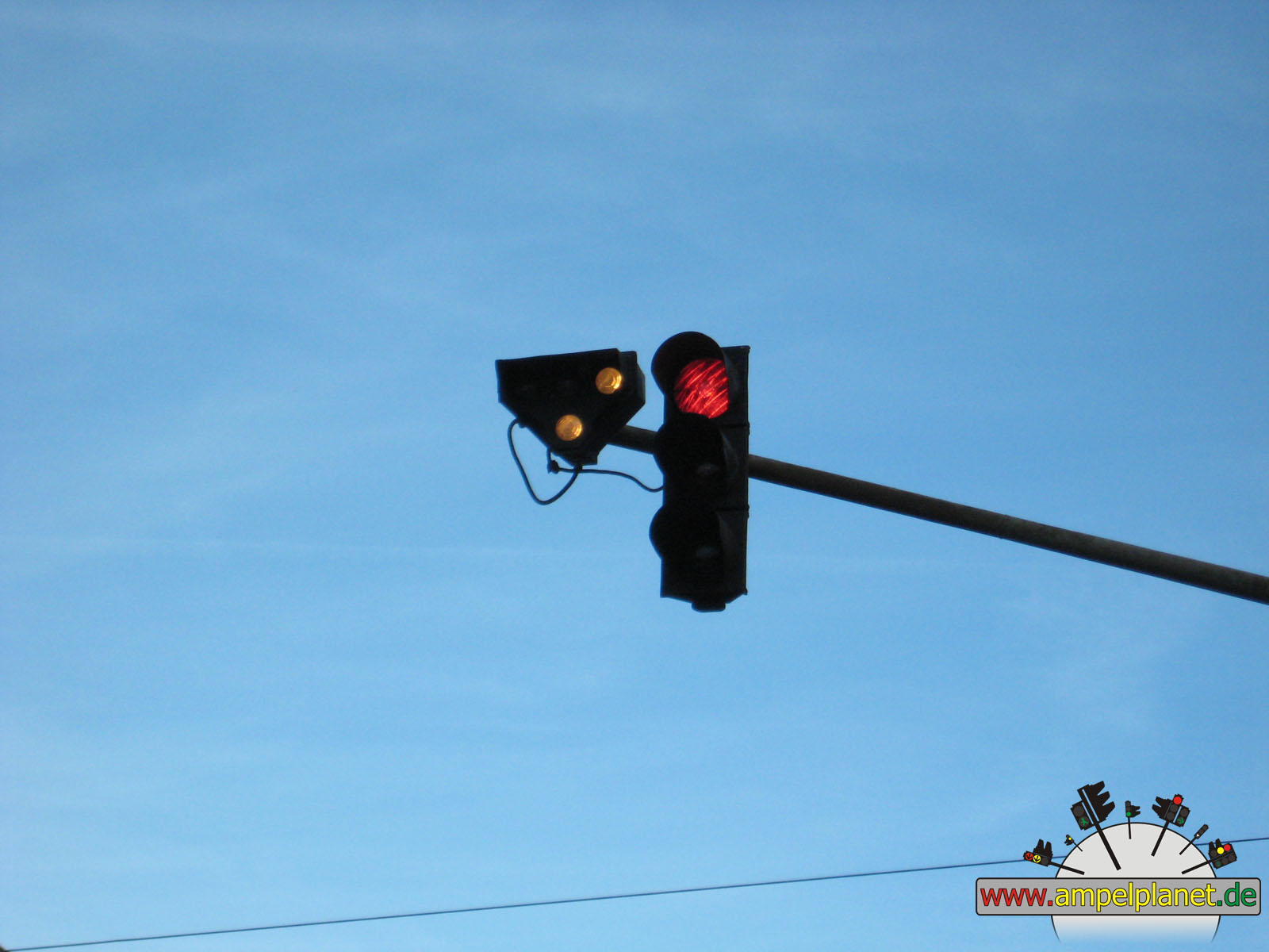
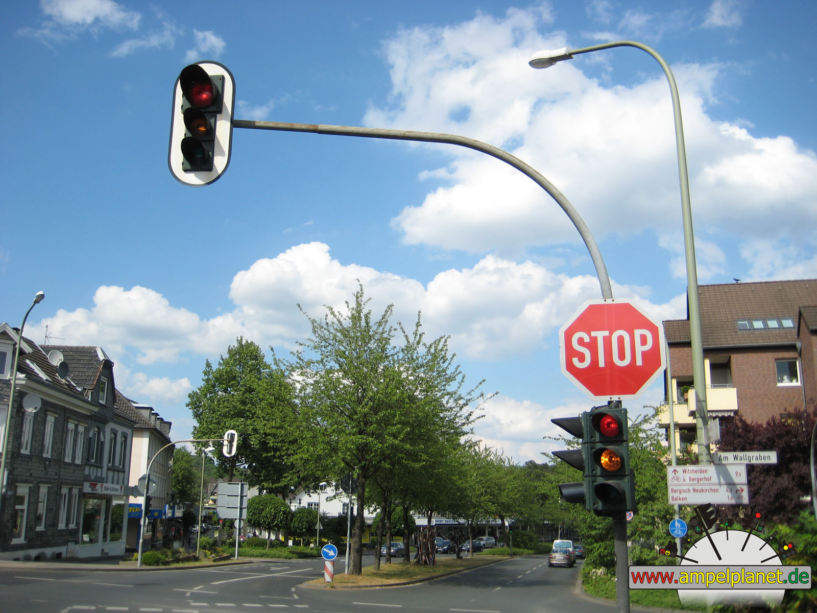
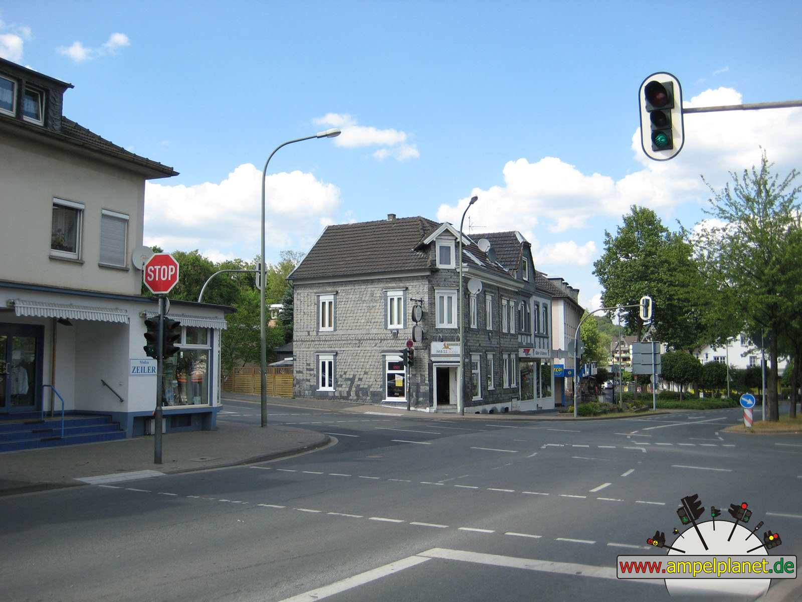
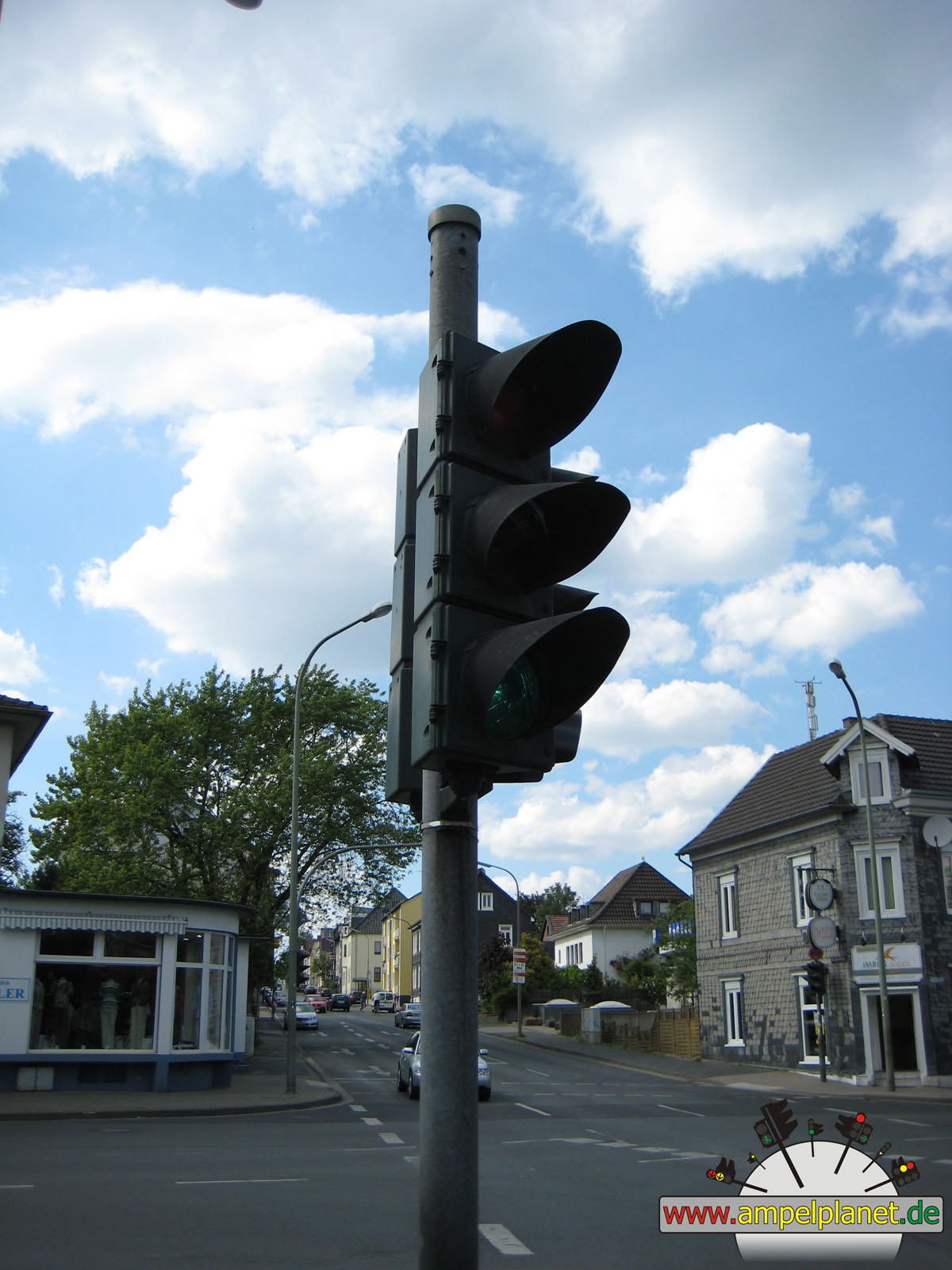
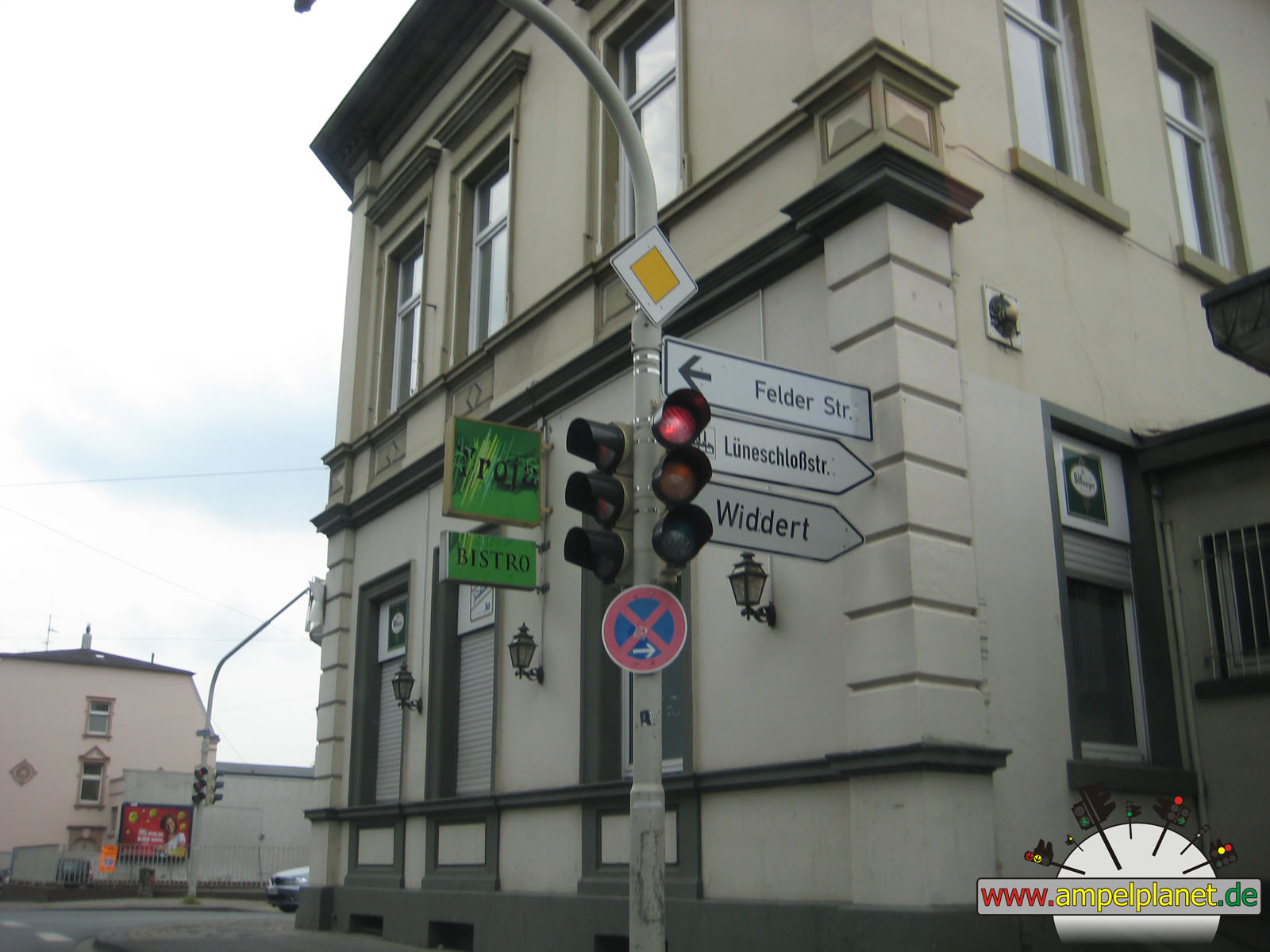
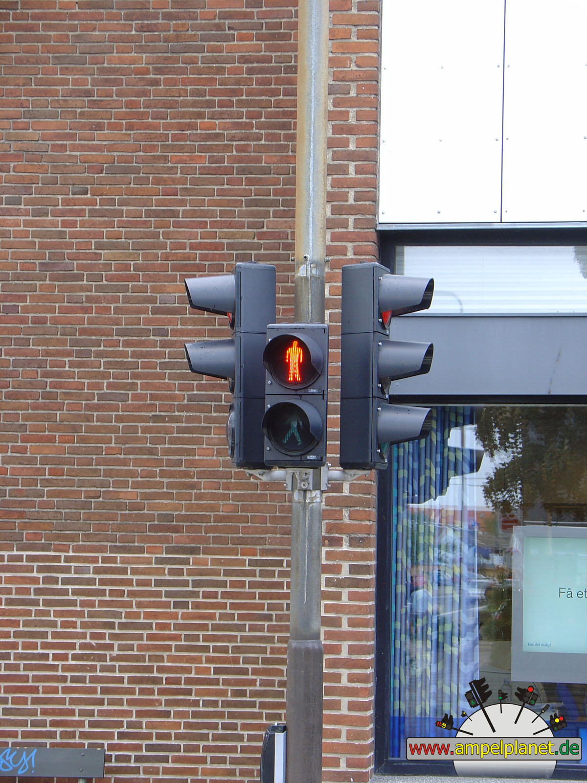
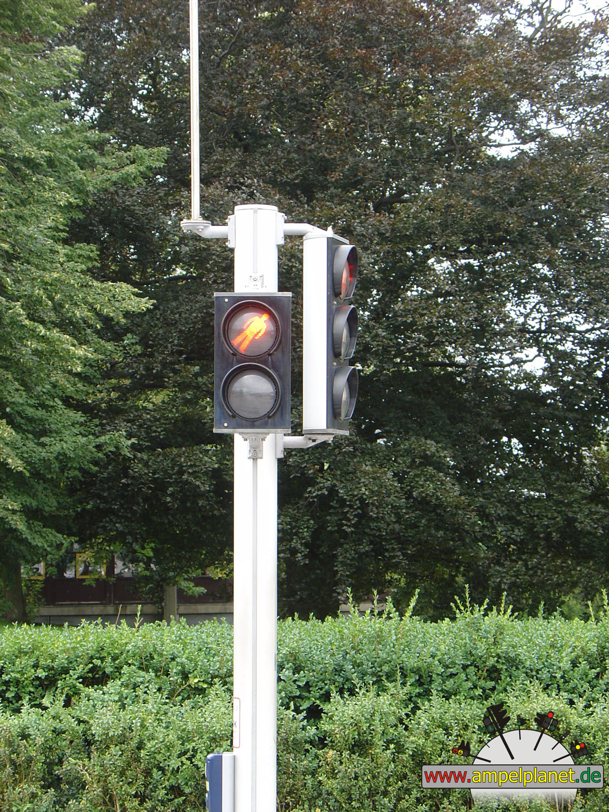
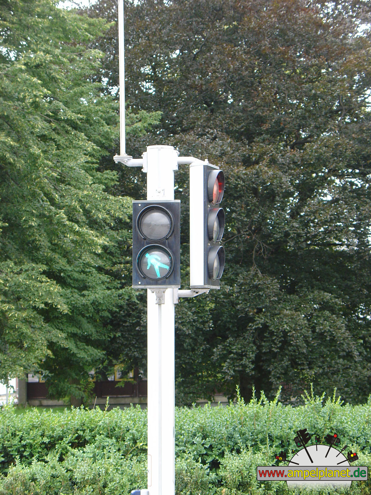
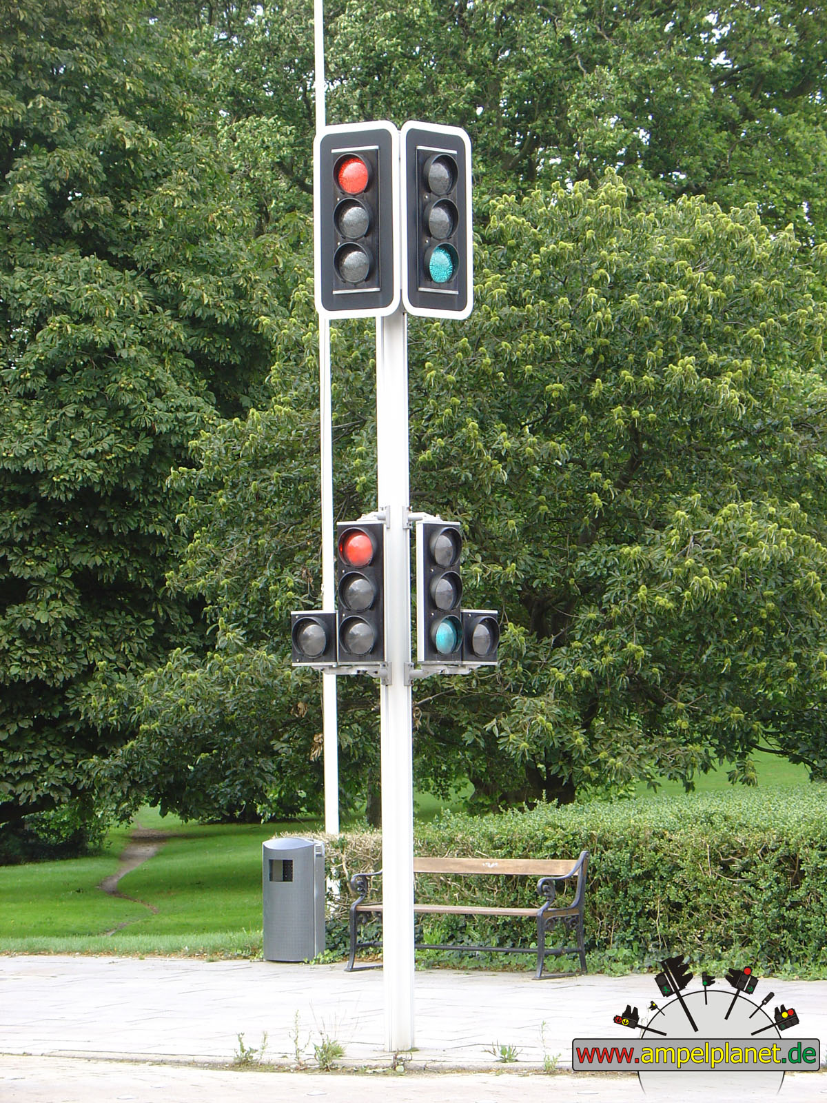
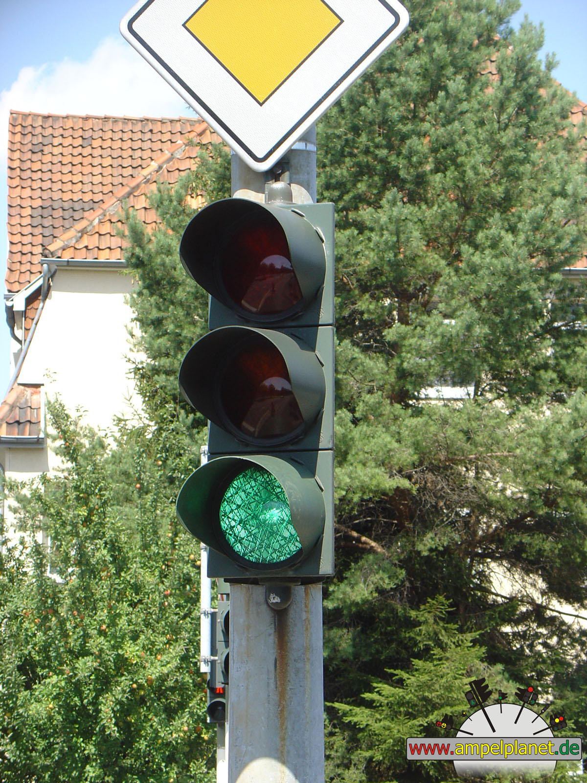
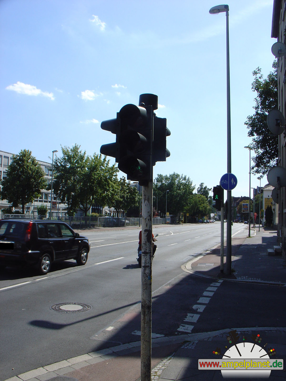
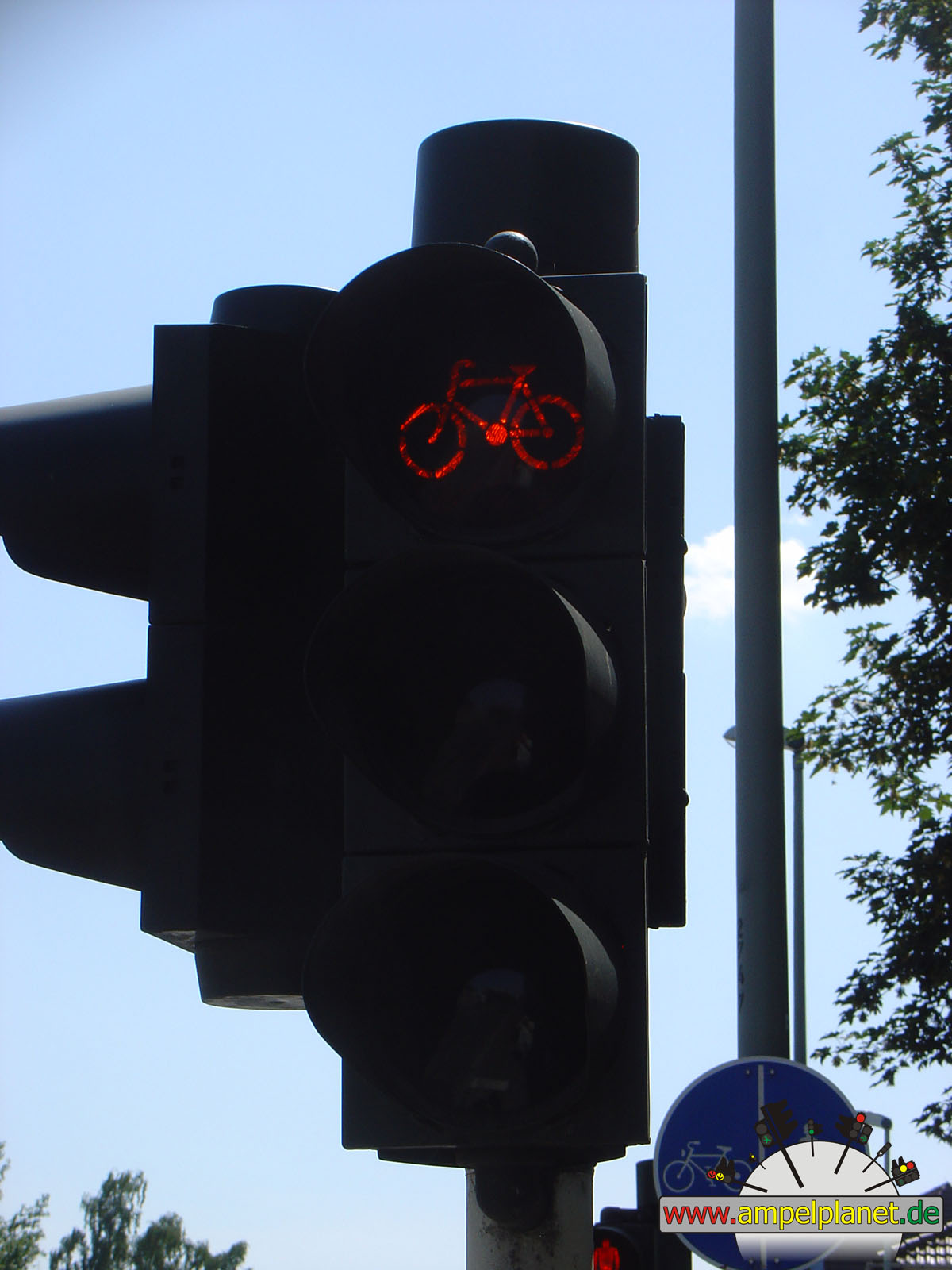
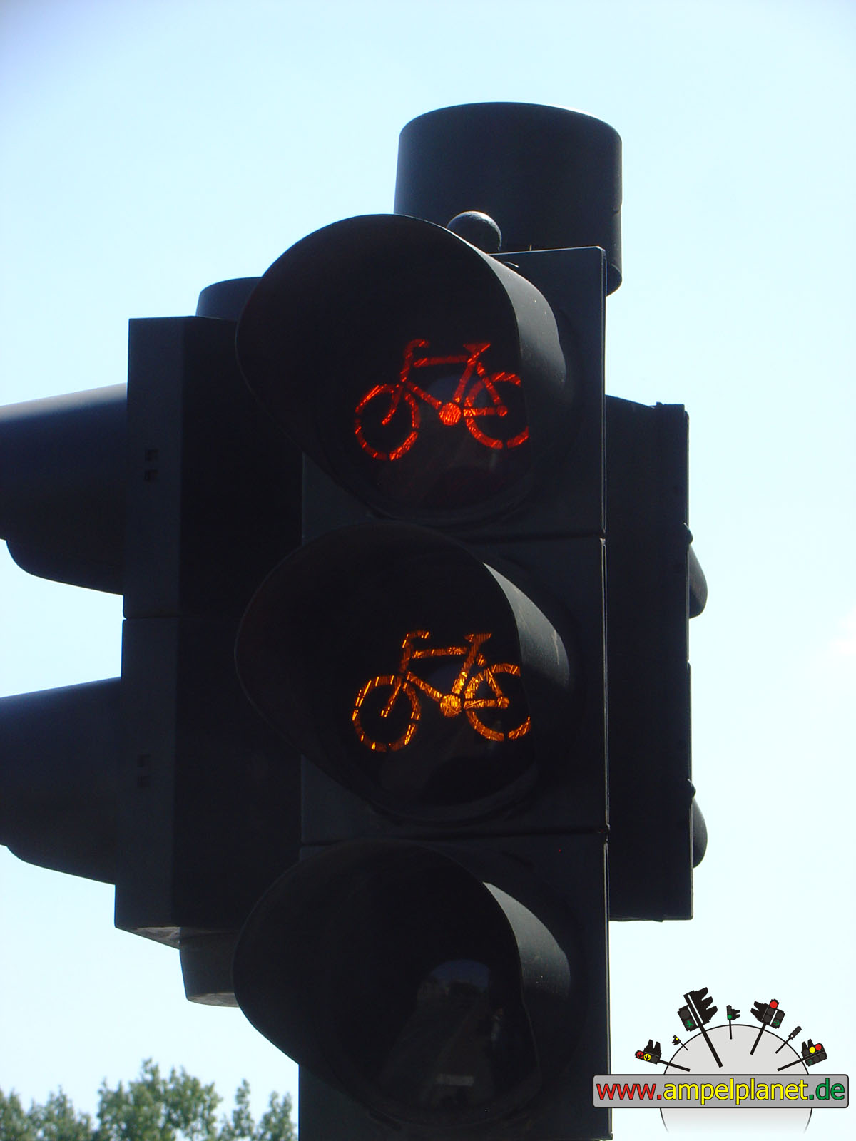
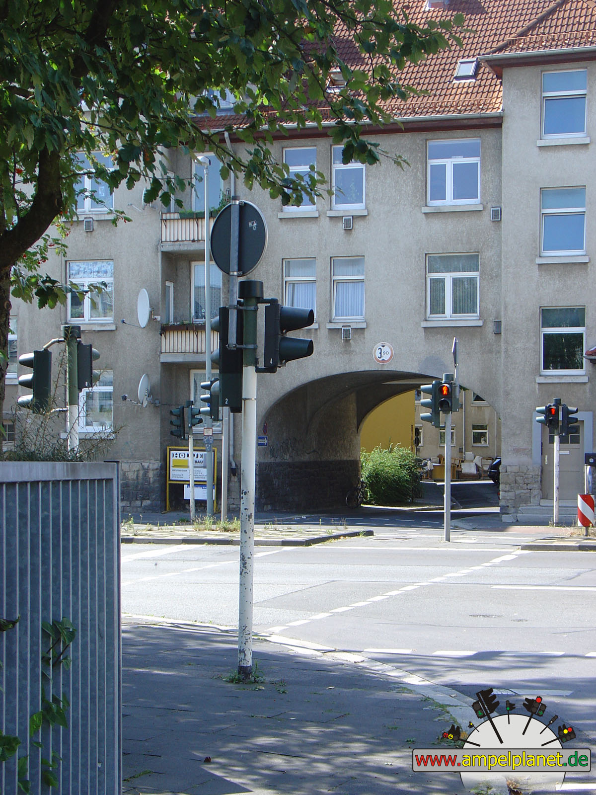
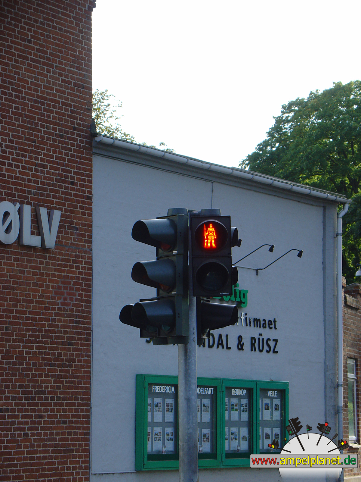
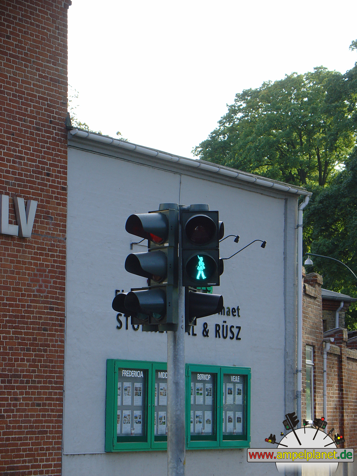
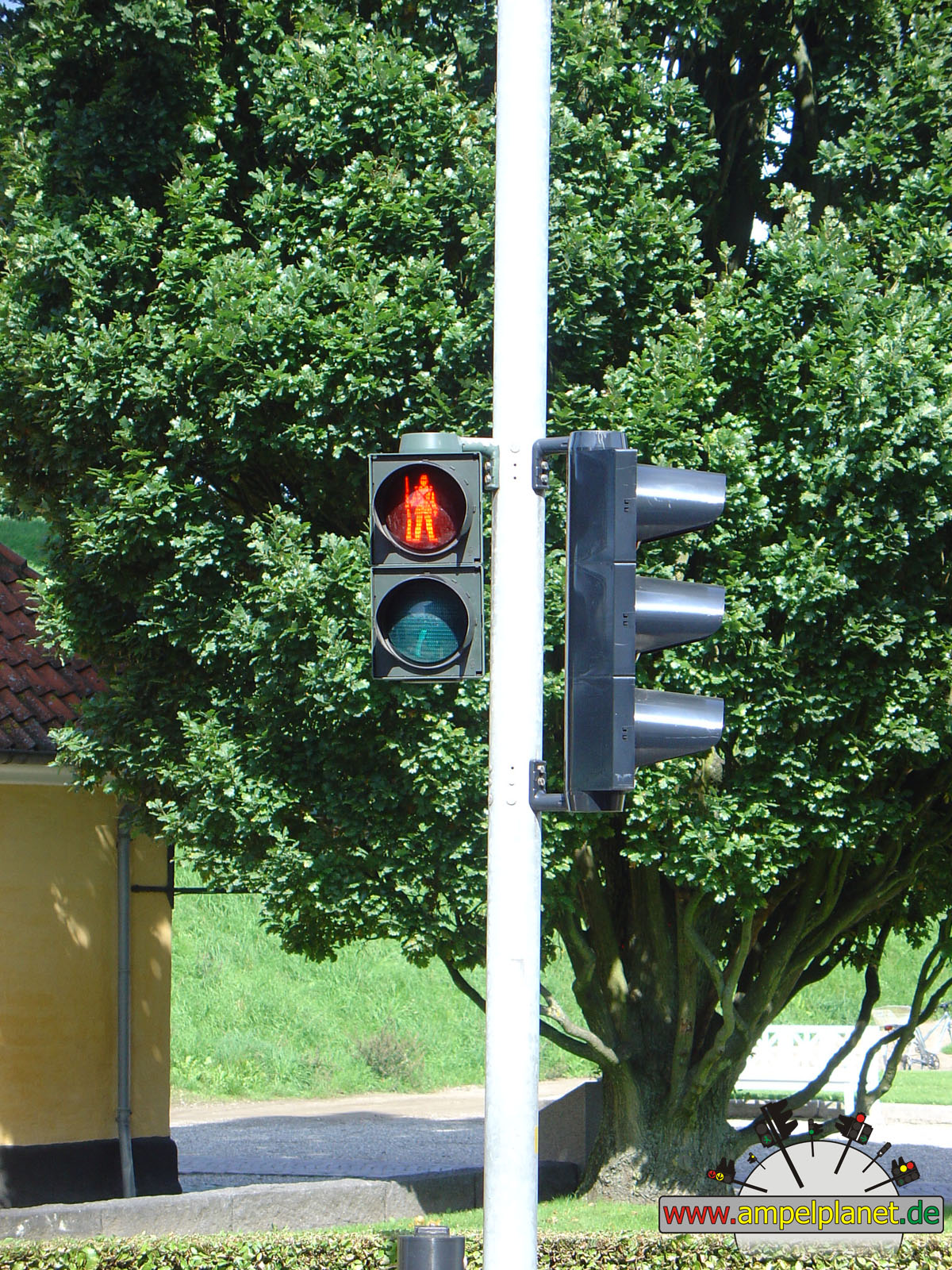
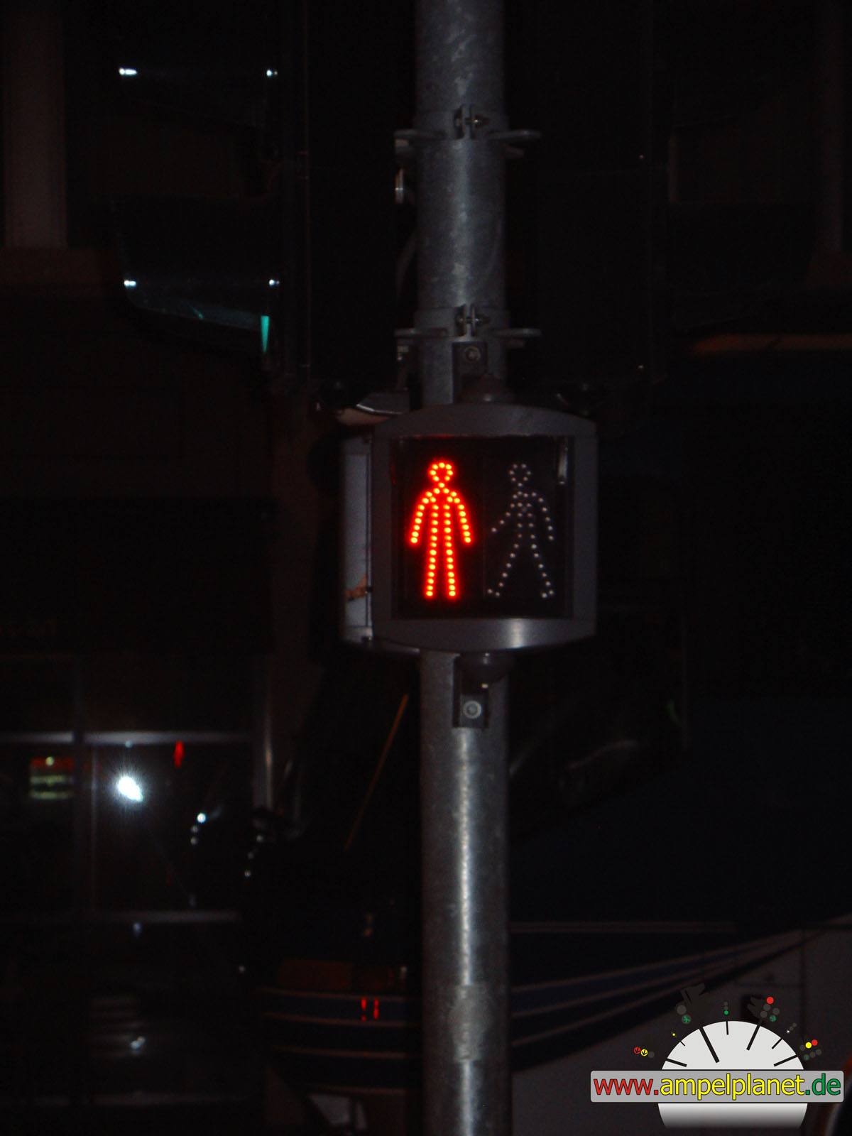
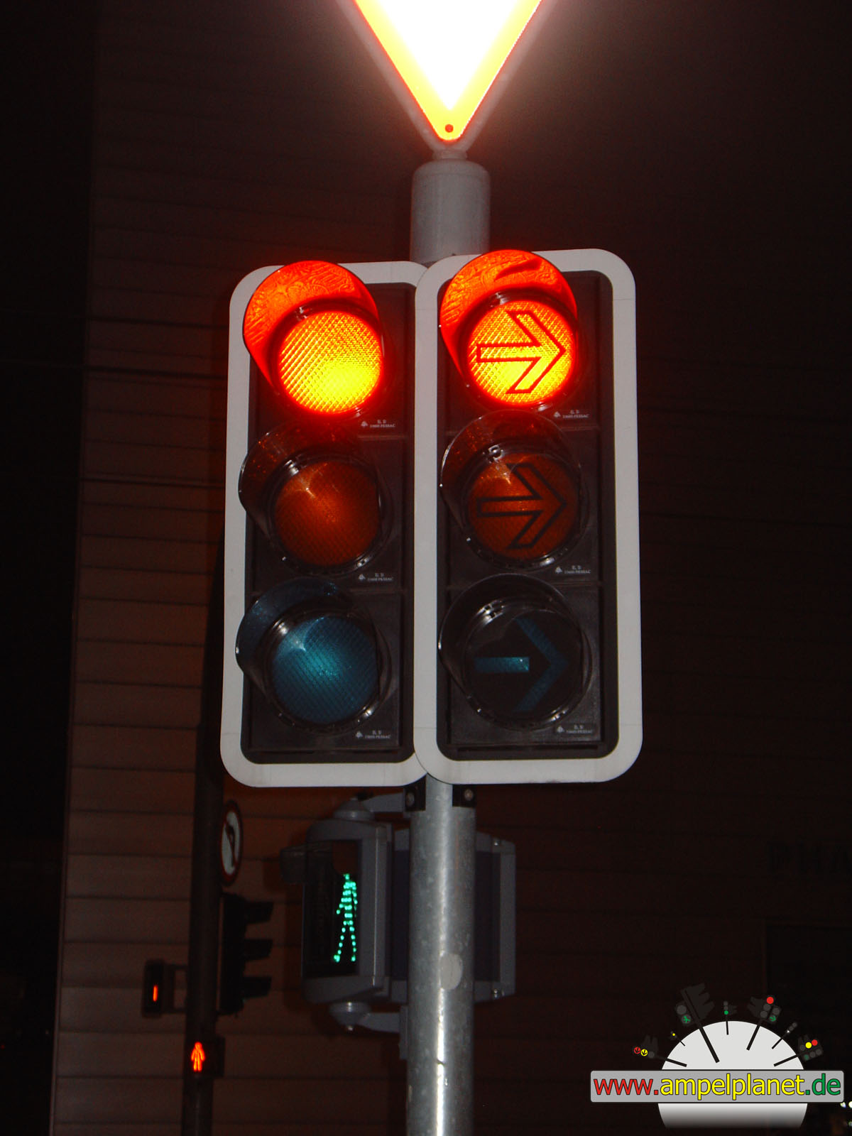
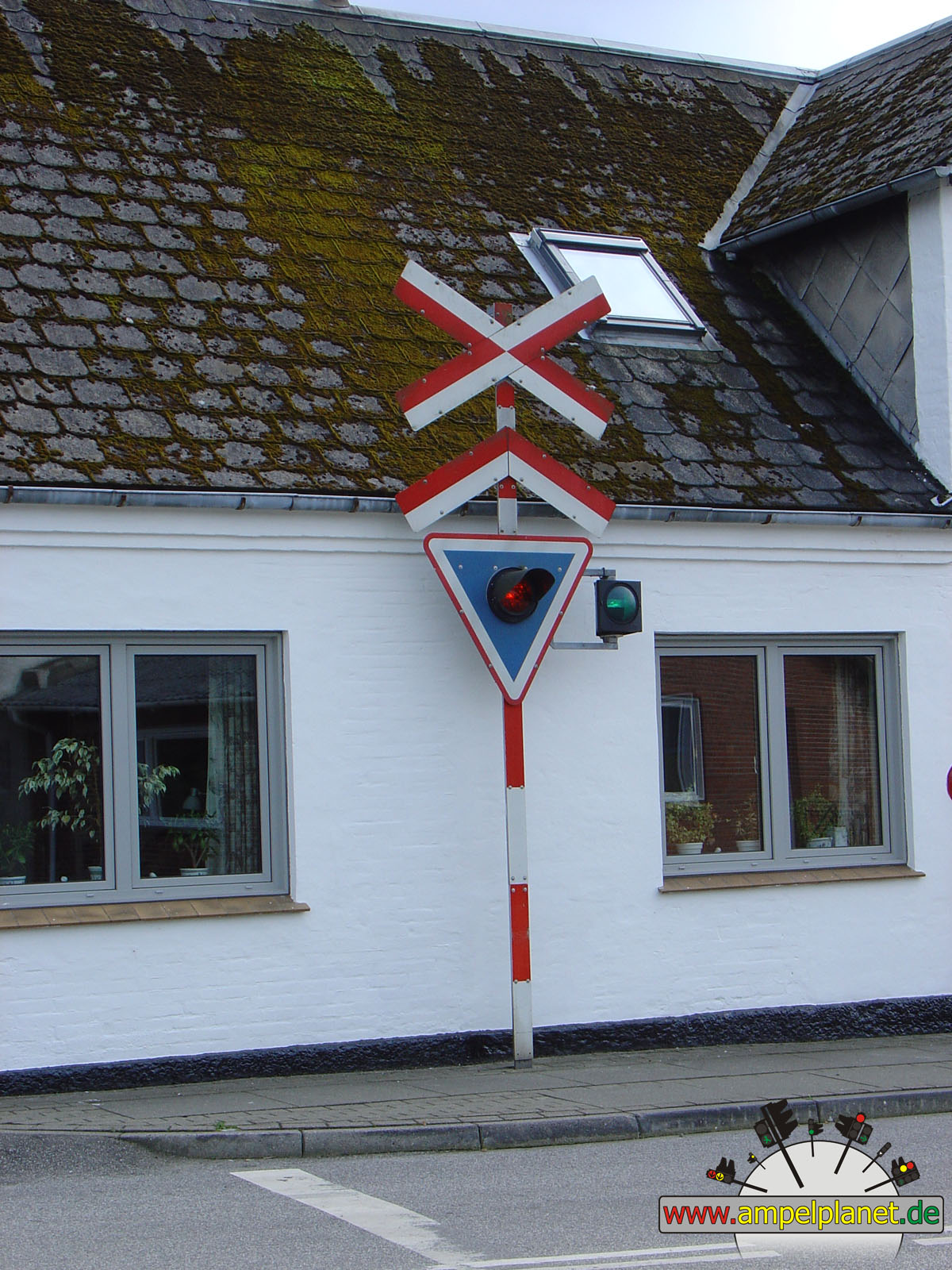
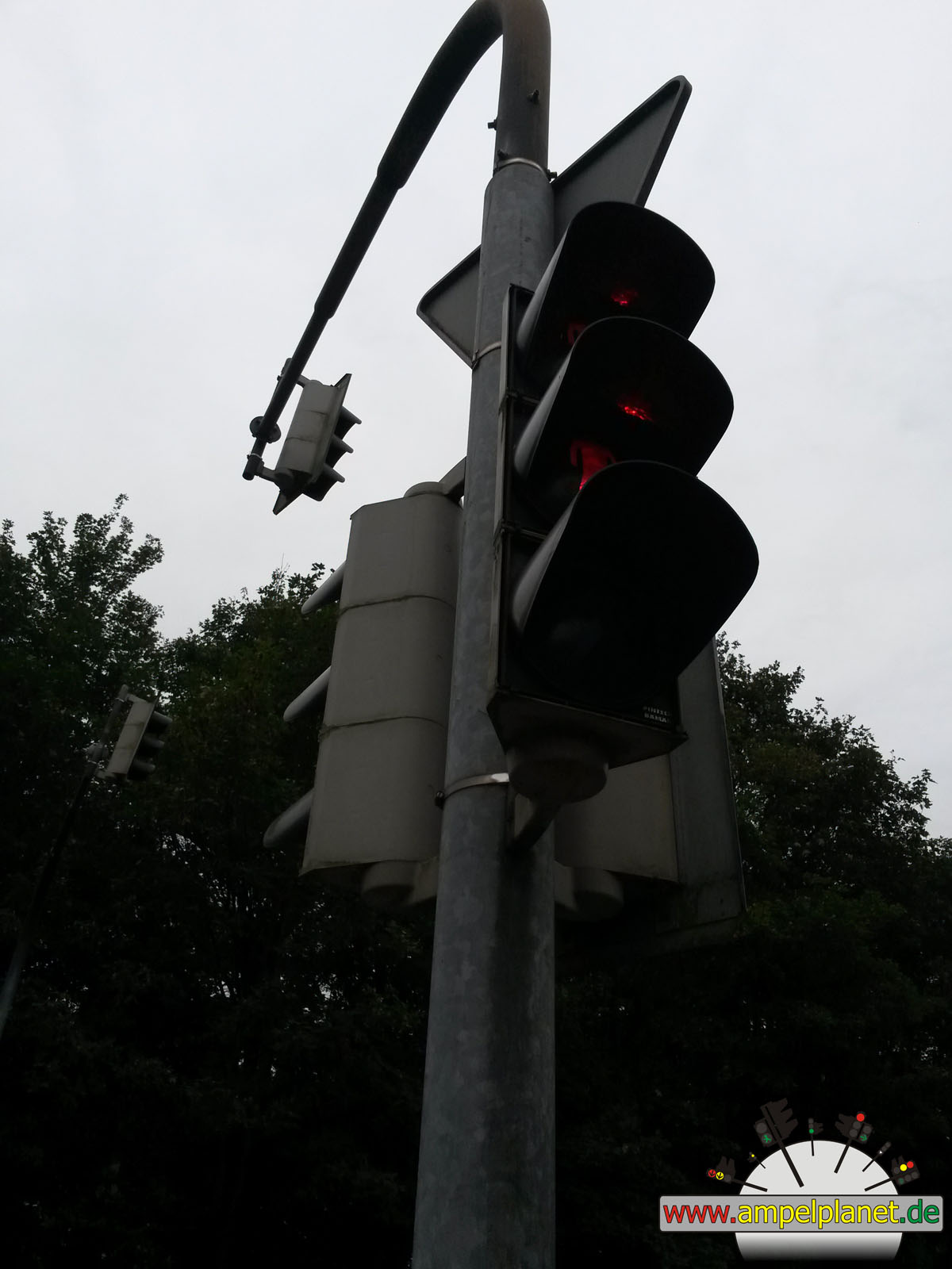
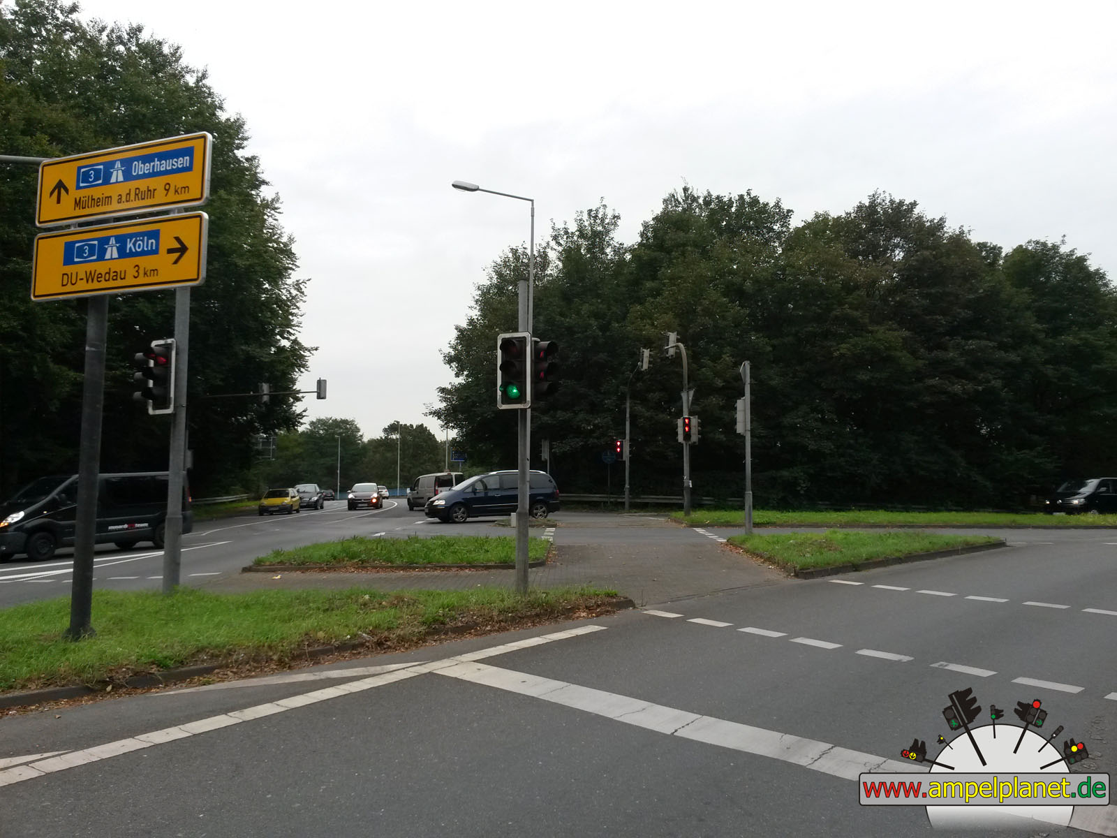
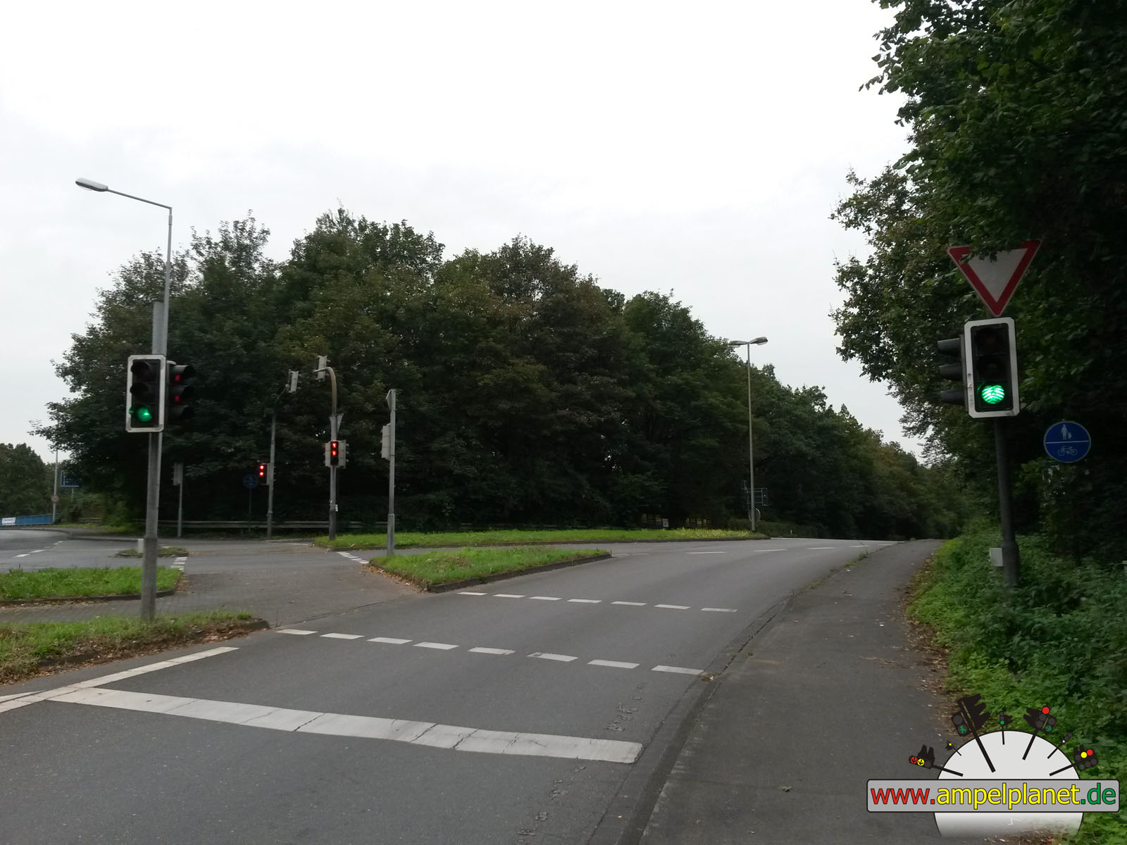
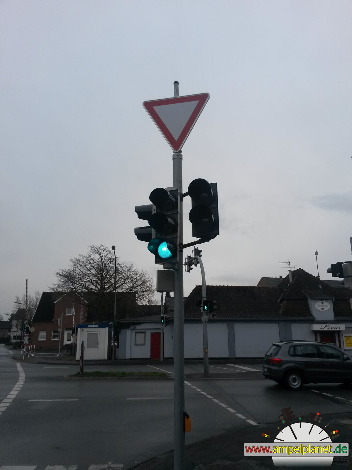
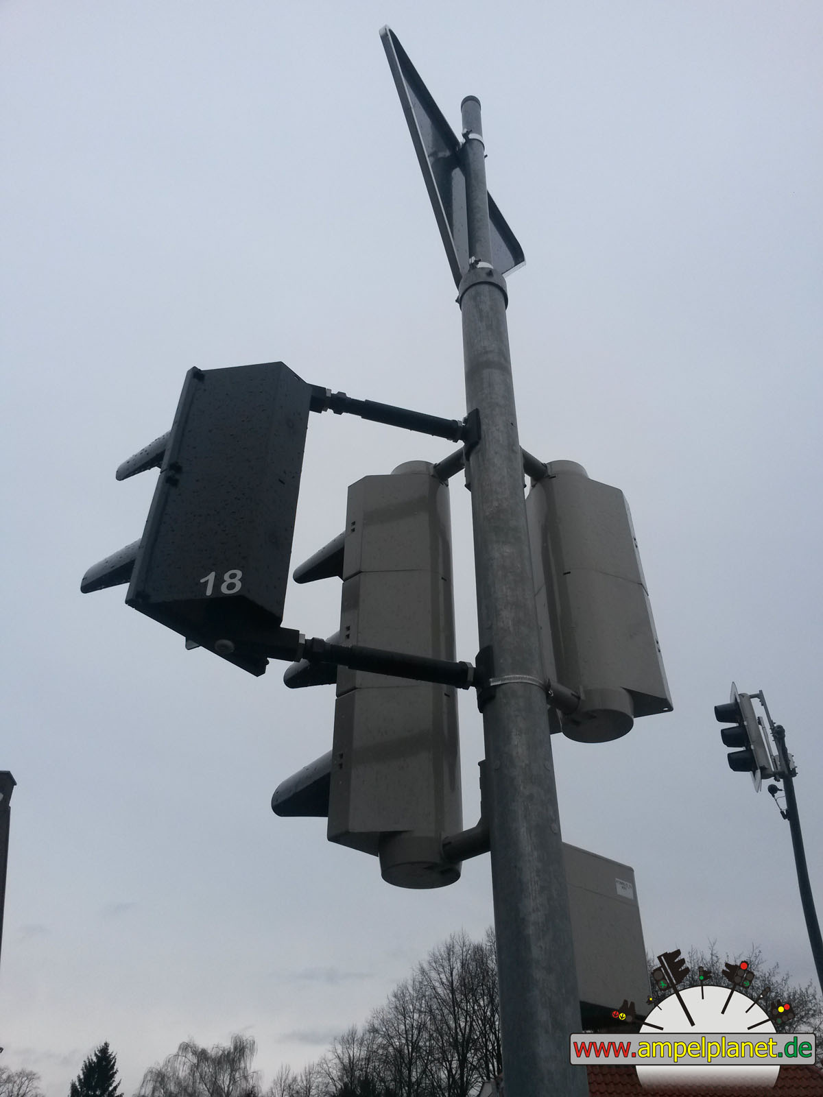
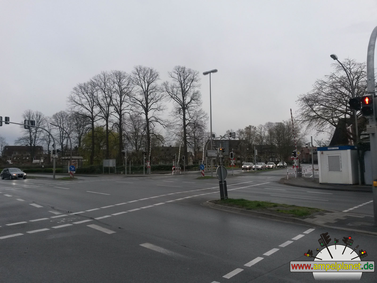
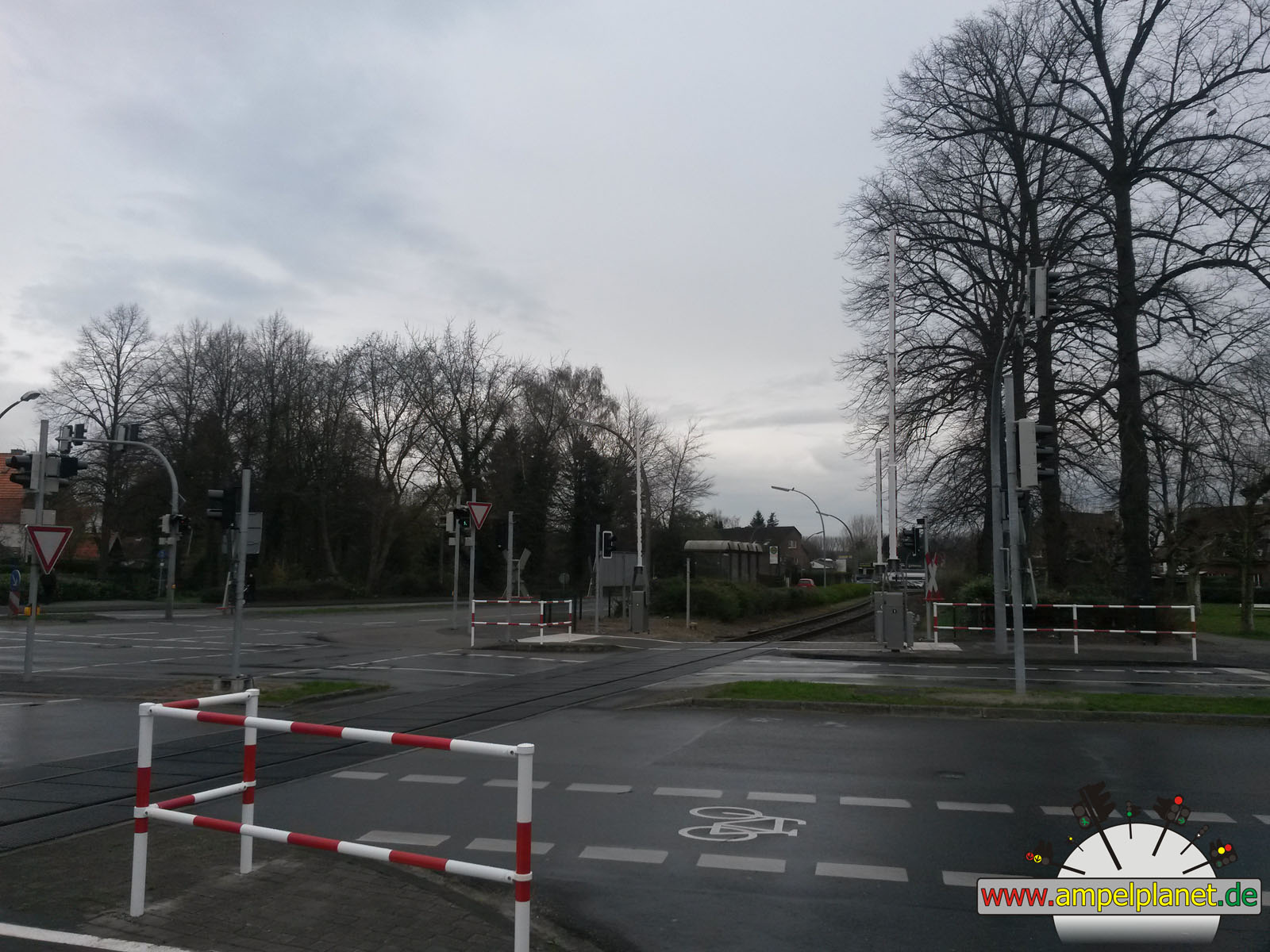
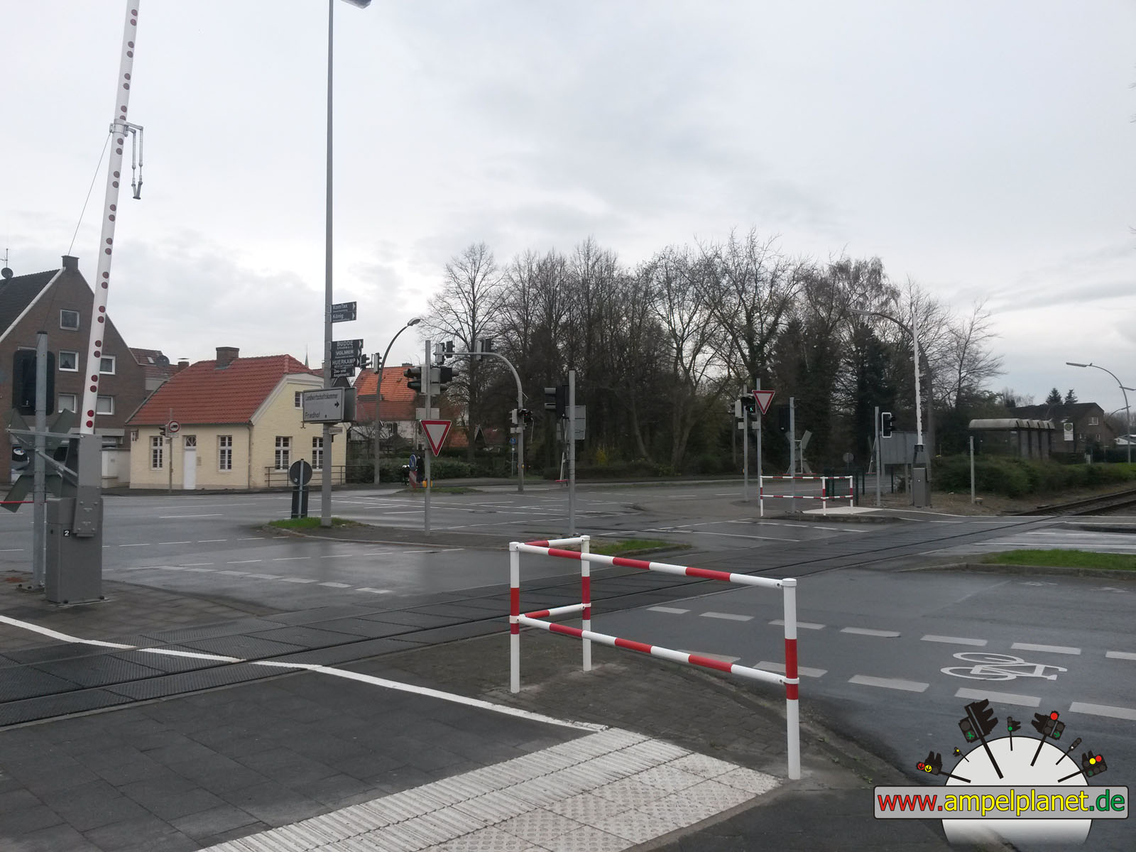
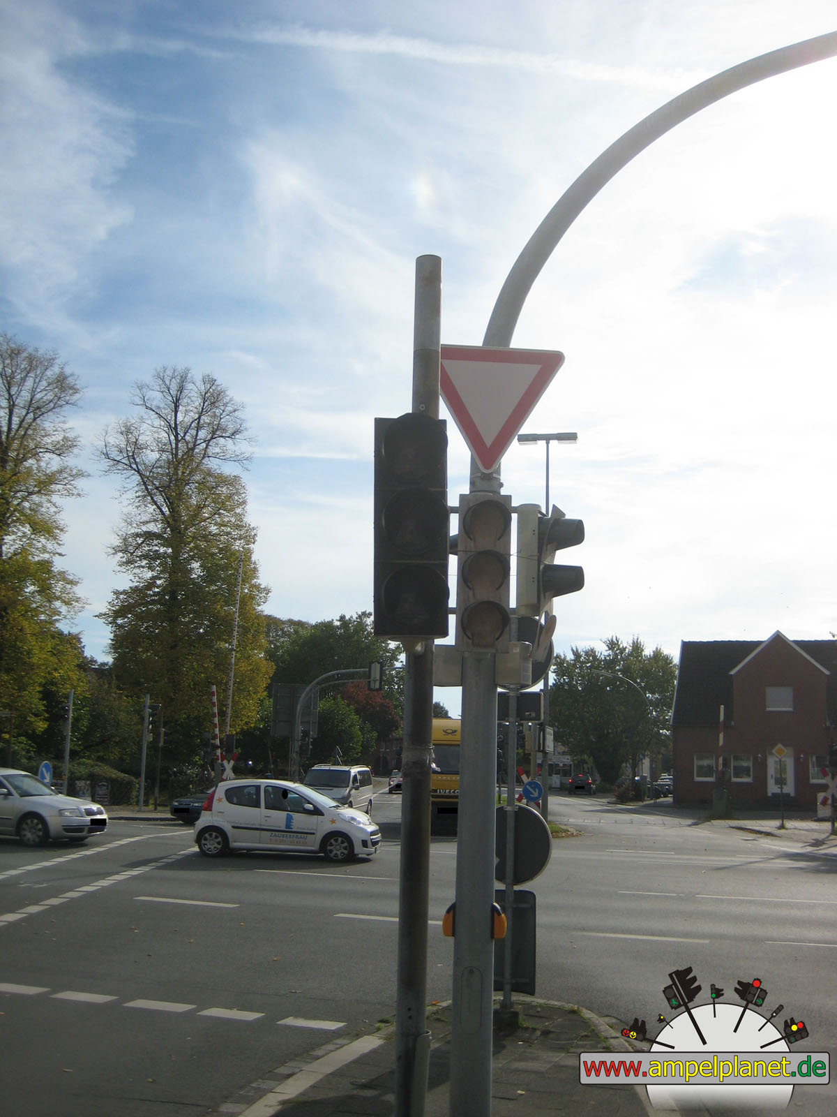
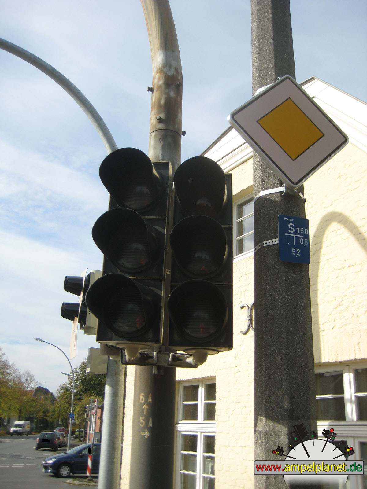
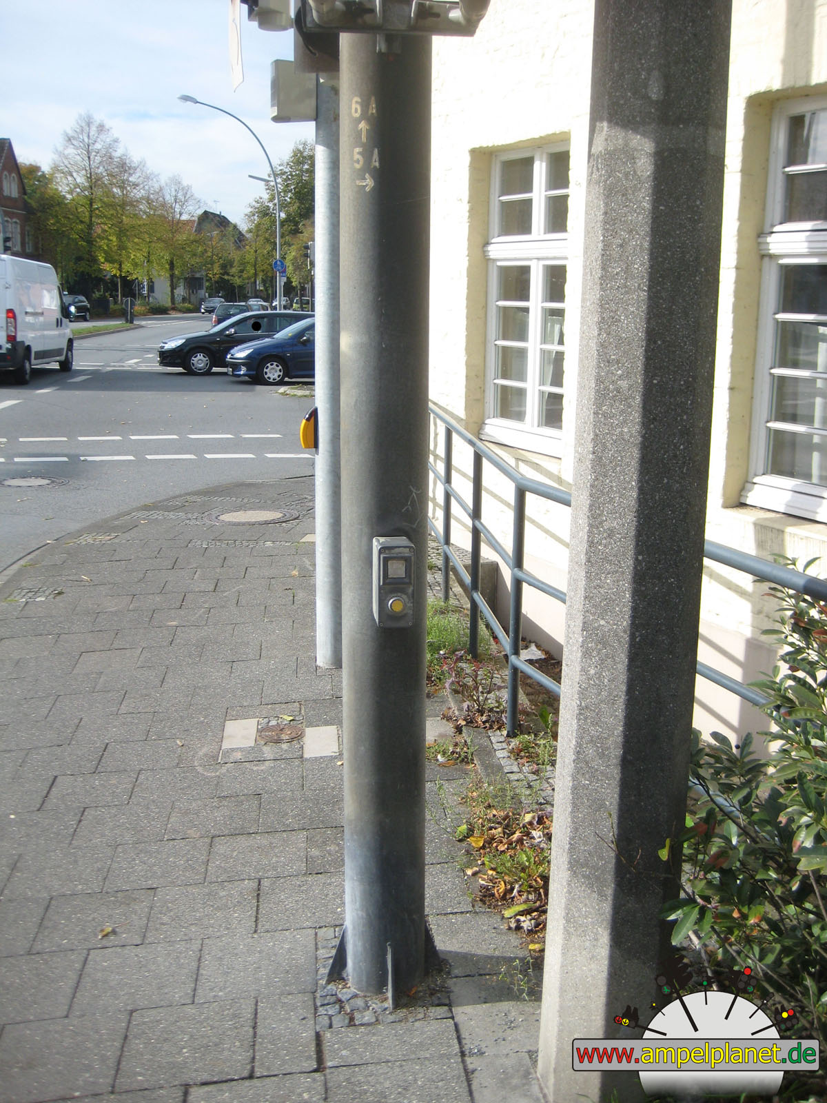
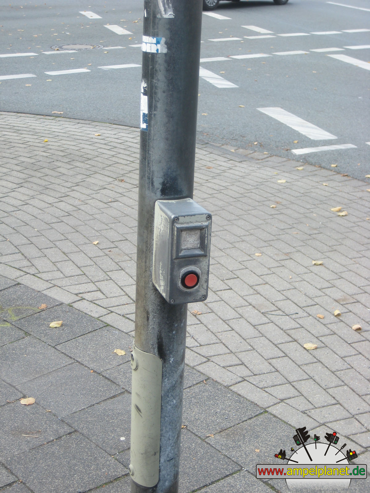
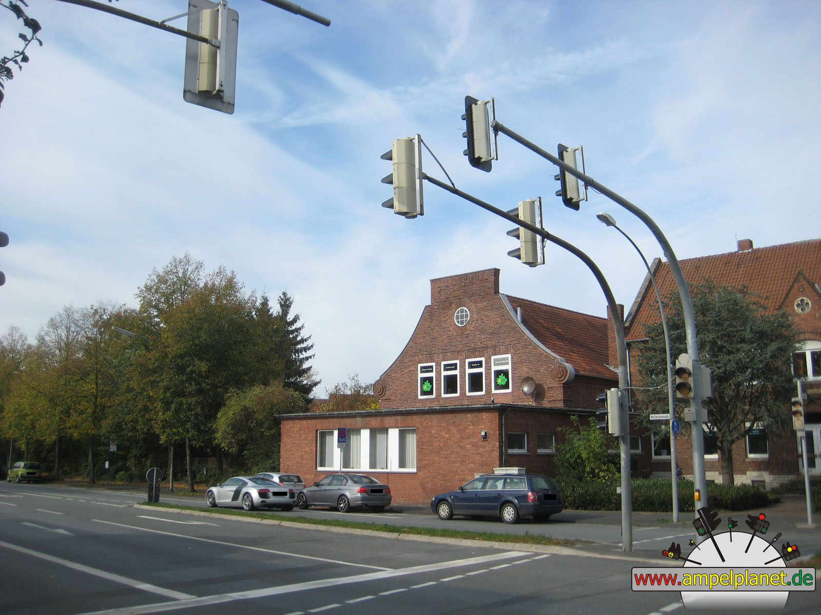
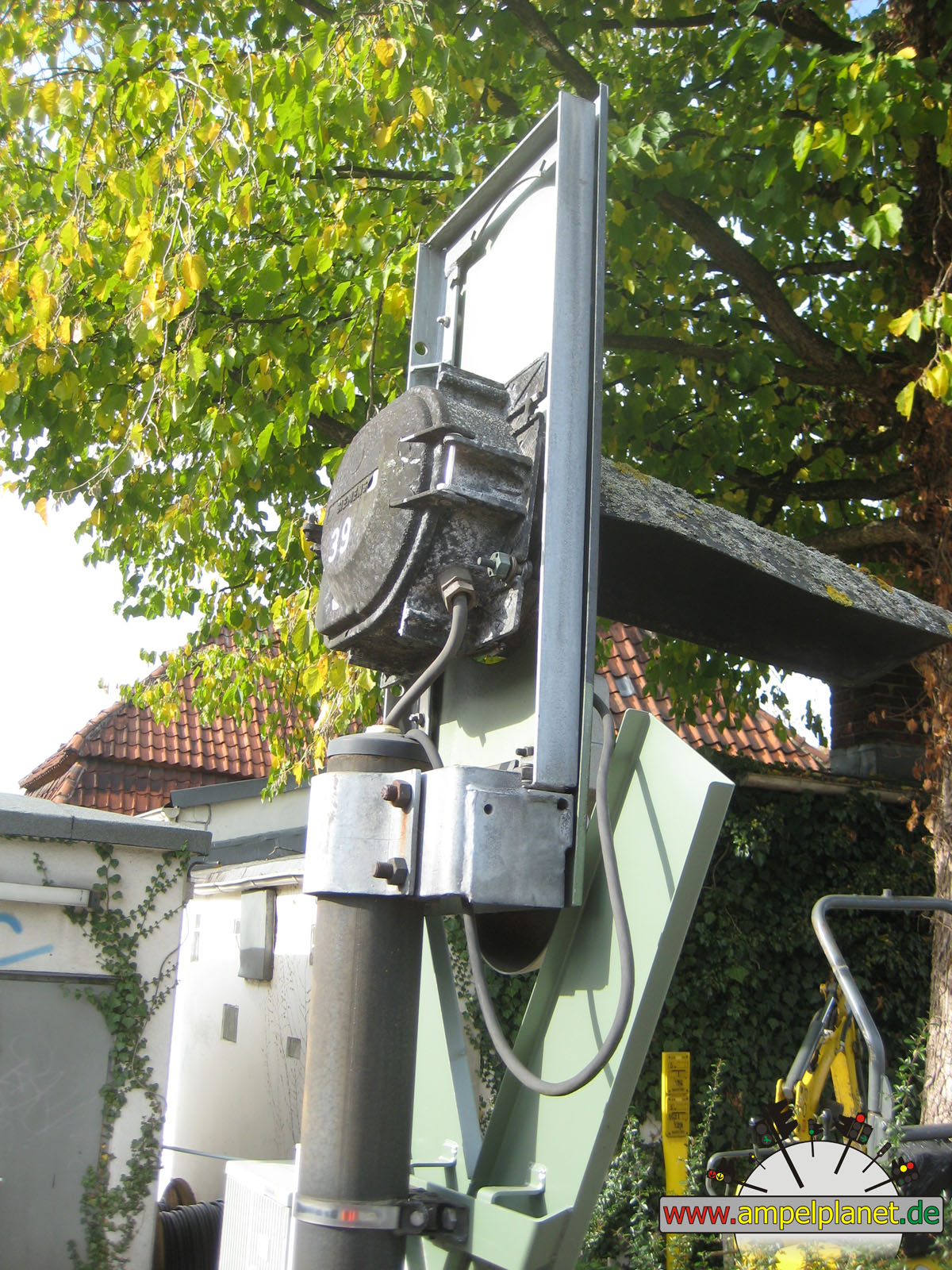
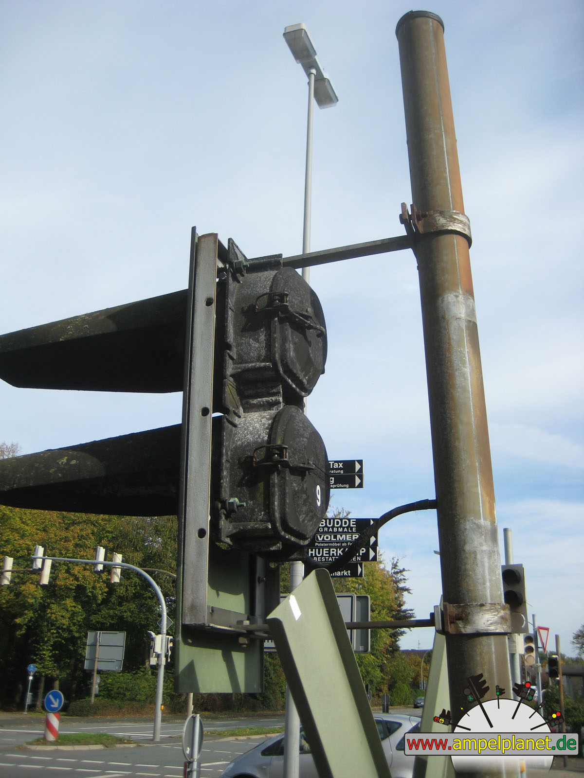
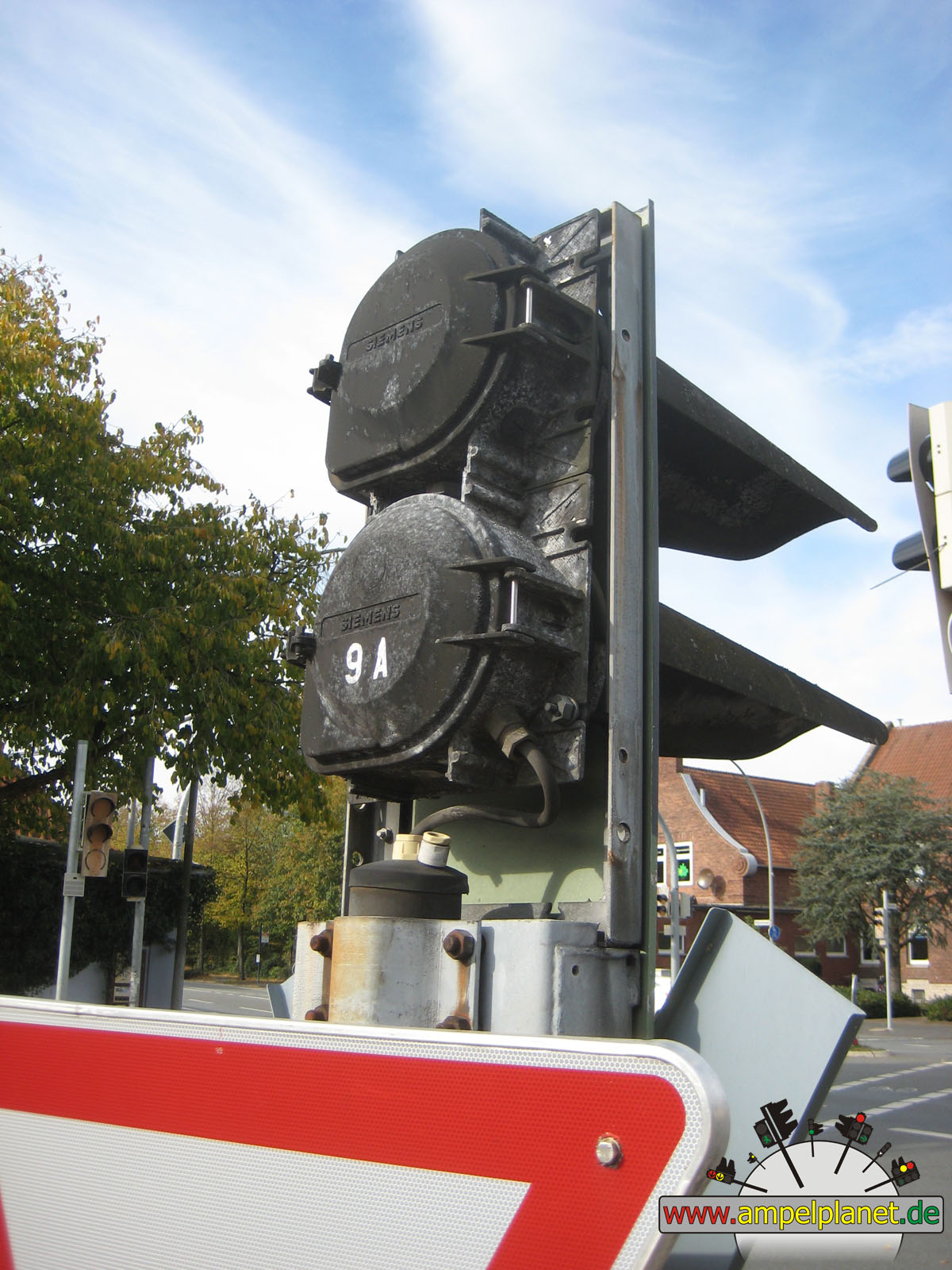
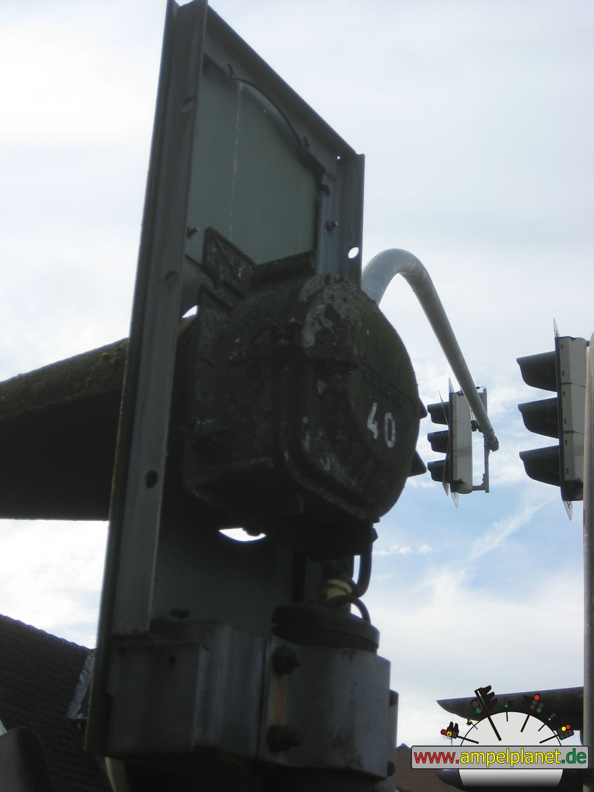
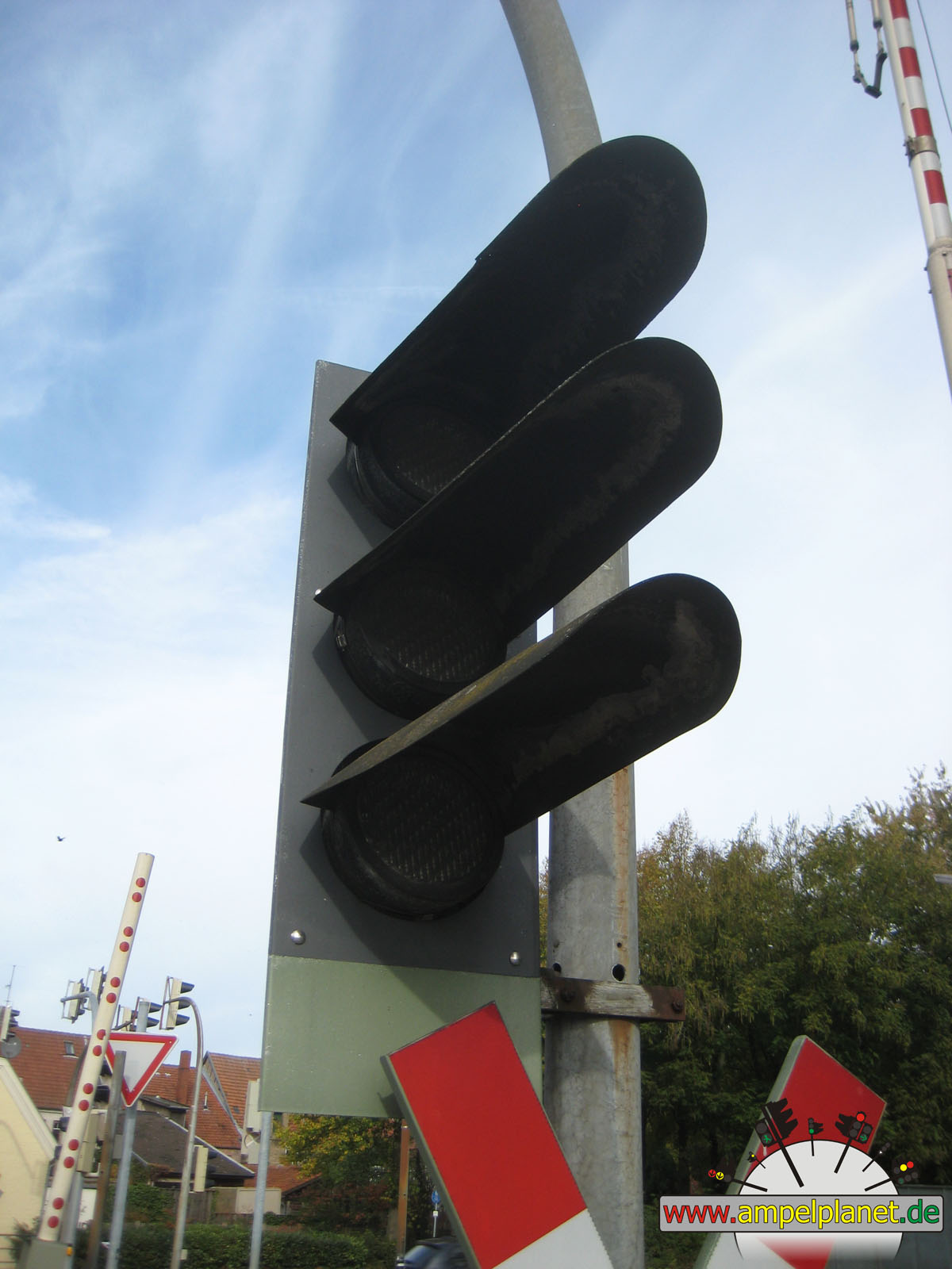
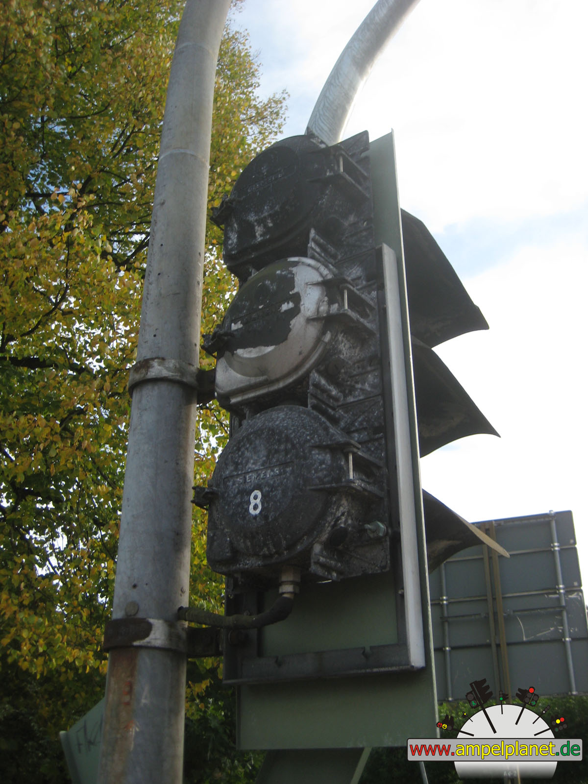
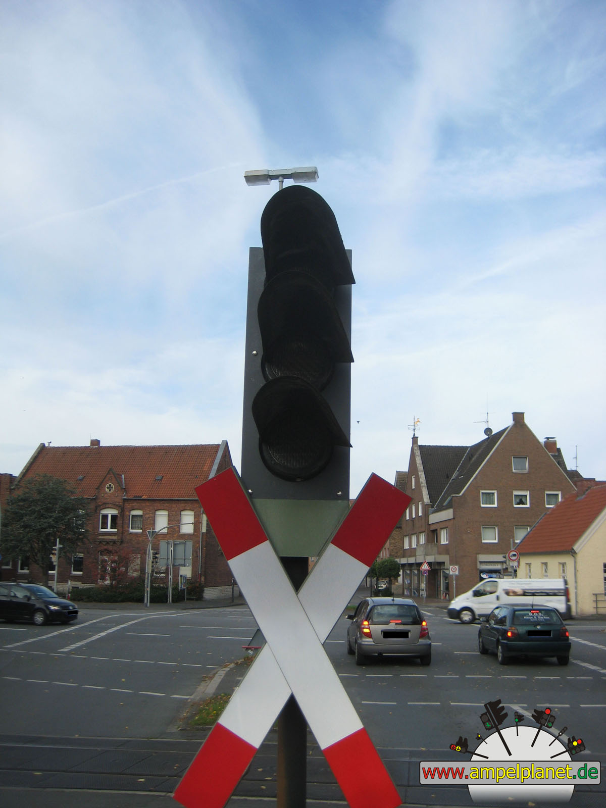
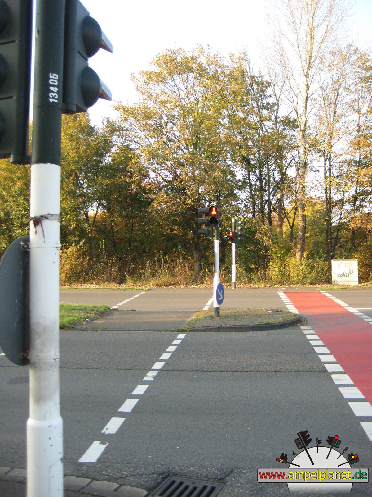
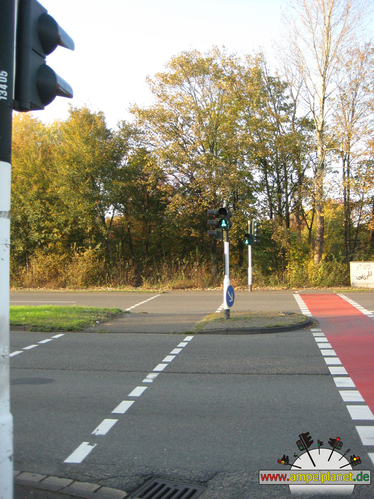
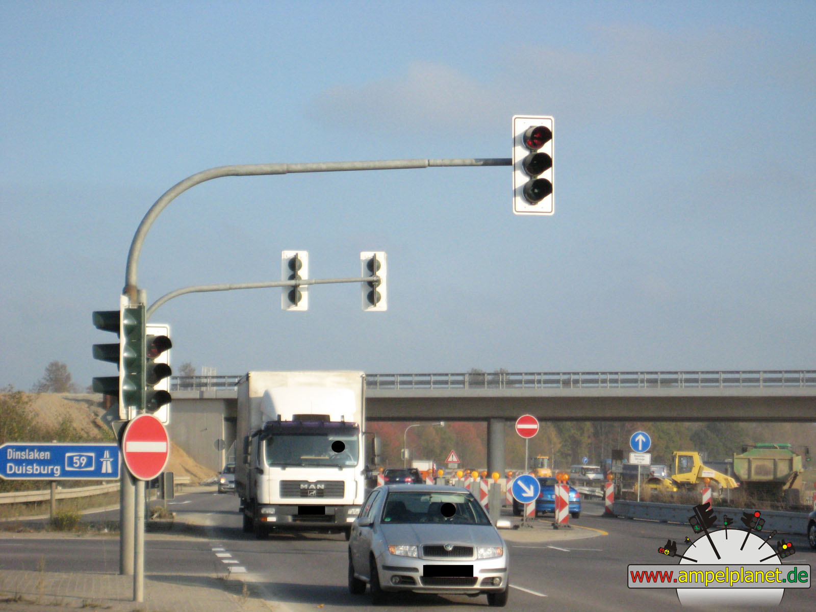
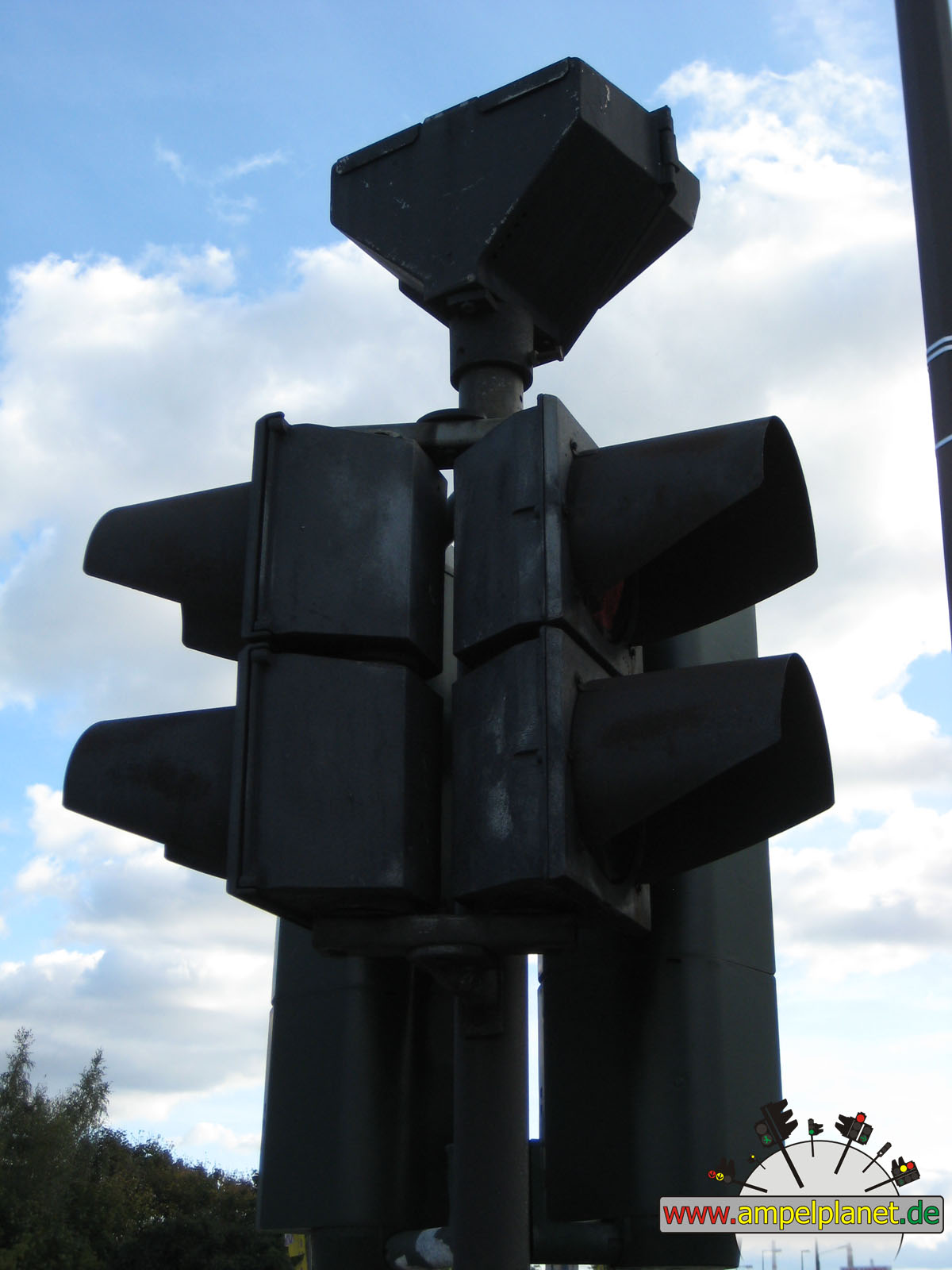
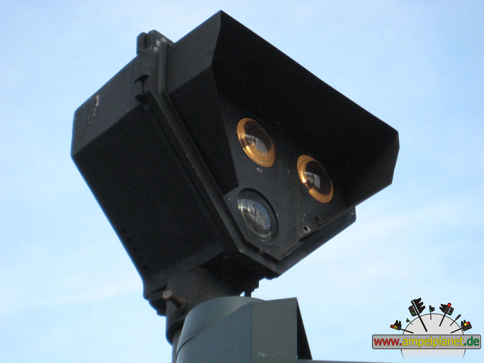
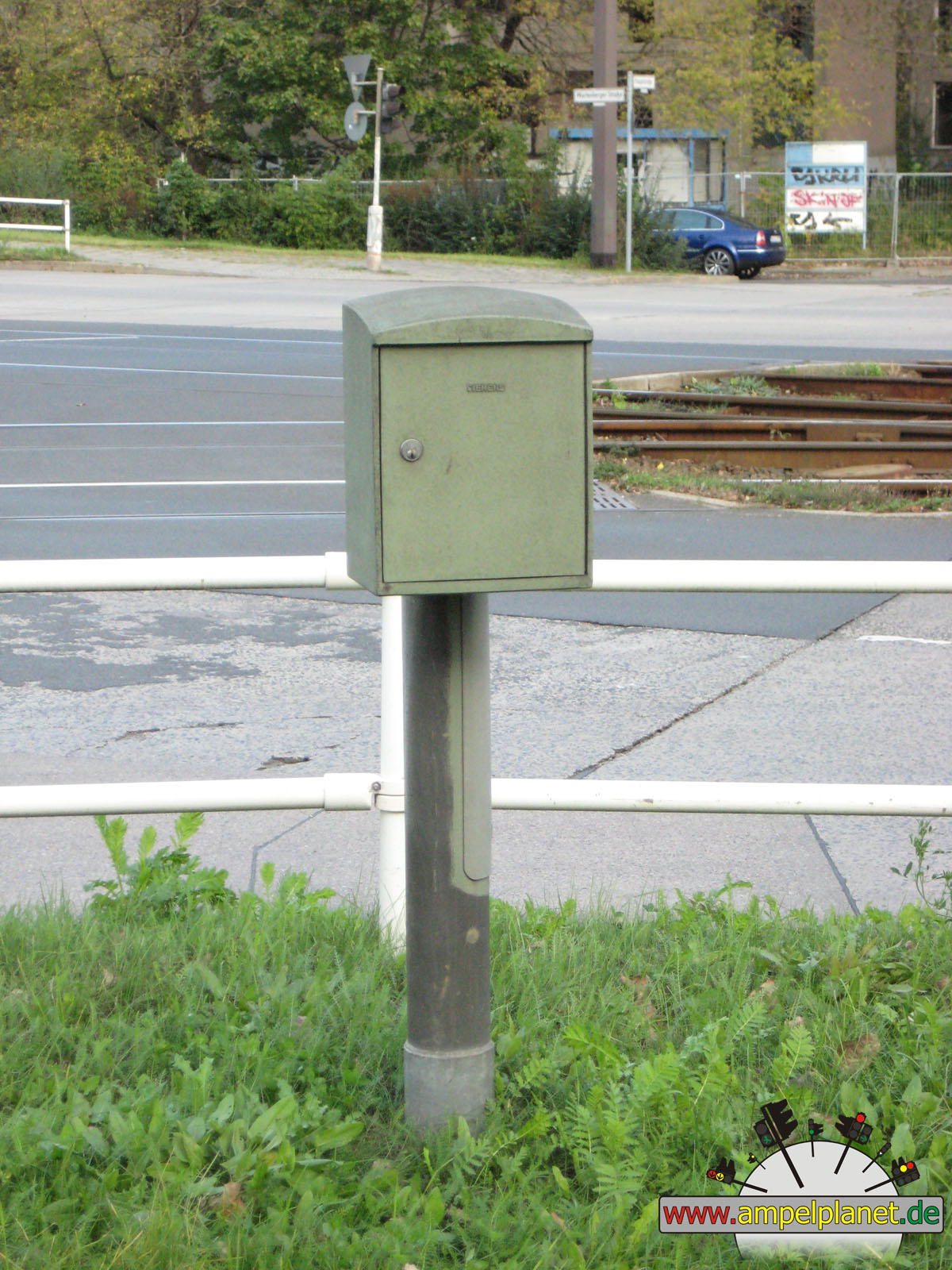
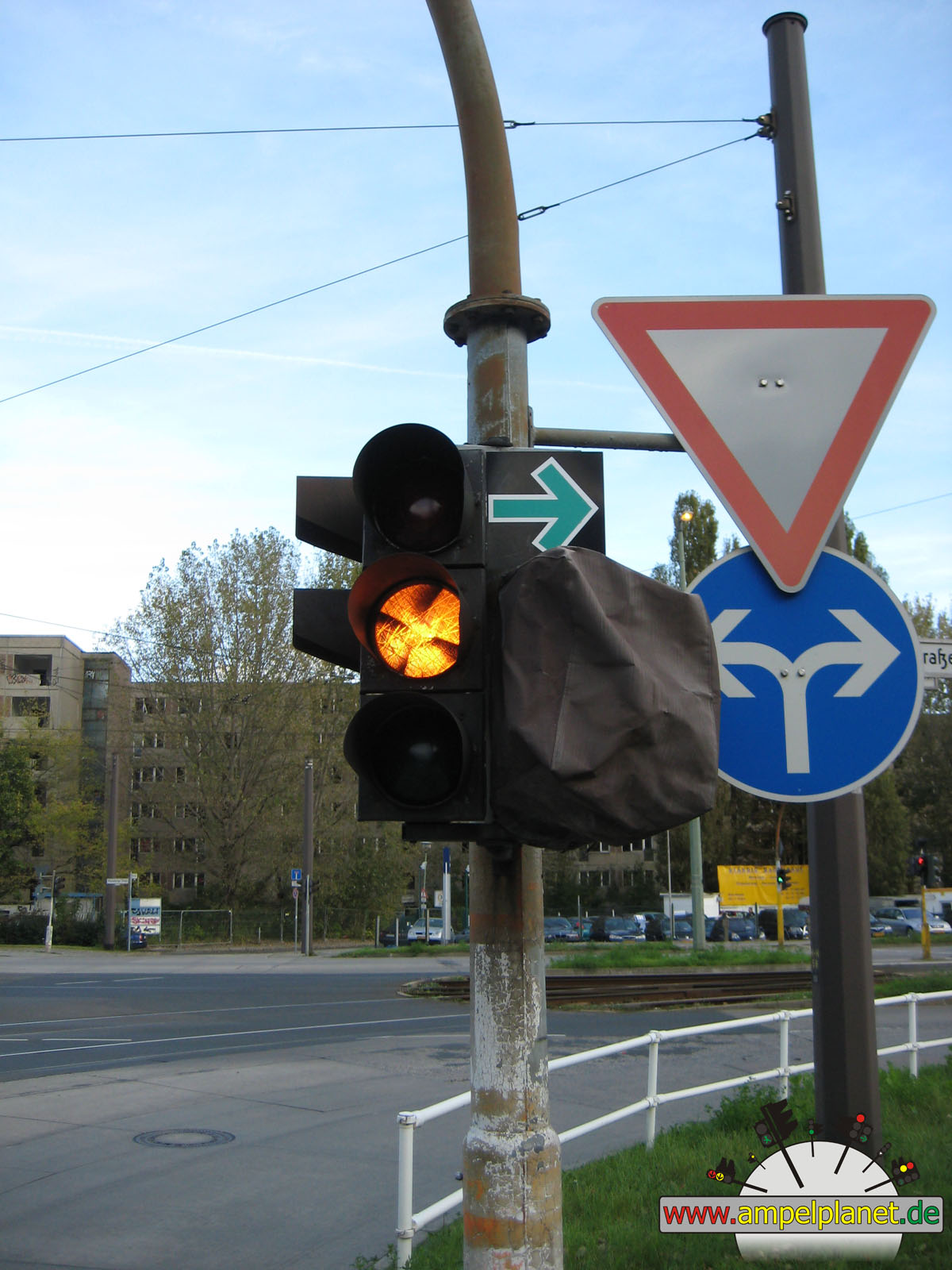
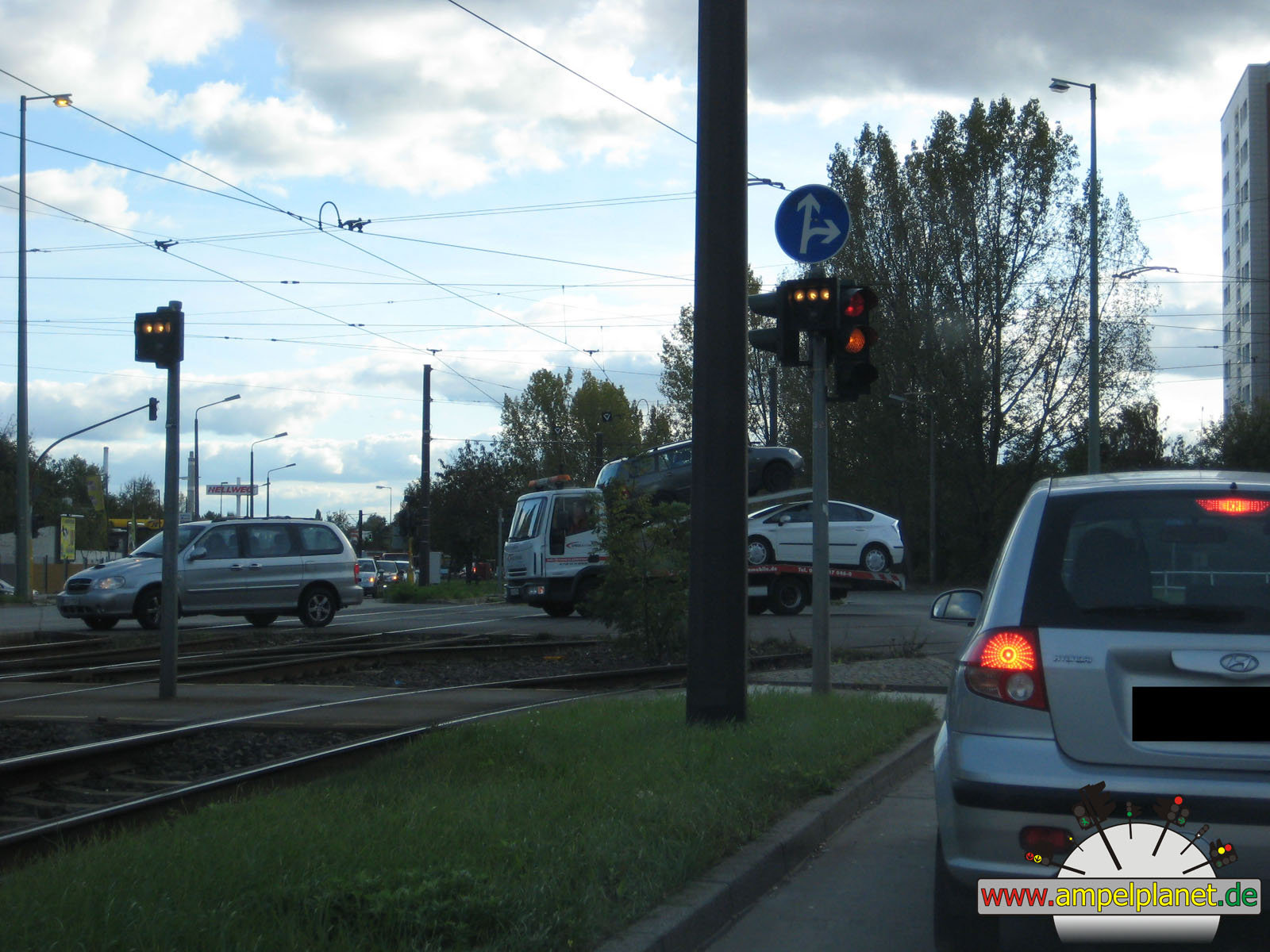
L60 Koloniestraße / L60 Bissingheimer Straße / L138 Uhlenhorststraße |
|
L60 Koloniestraße / L60 Bissingheimer Straße / L138 Uhlenhorststraße |
|
L60 Koloniestraße / L60 Bissingheimer Straße / L138 Uhlenhorststraße |
|
L60 Koloniestraße / L60 Bissingheimer Straße / L138 Uhlenhorststraße |
|
|
 |
 |
 |
||||
|
|
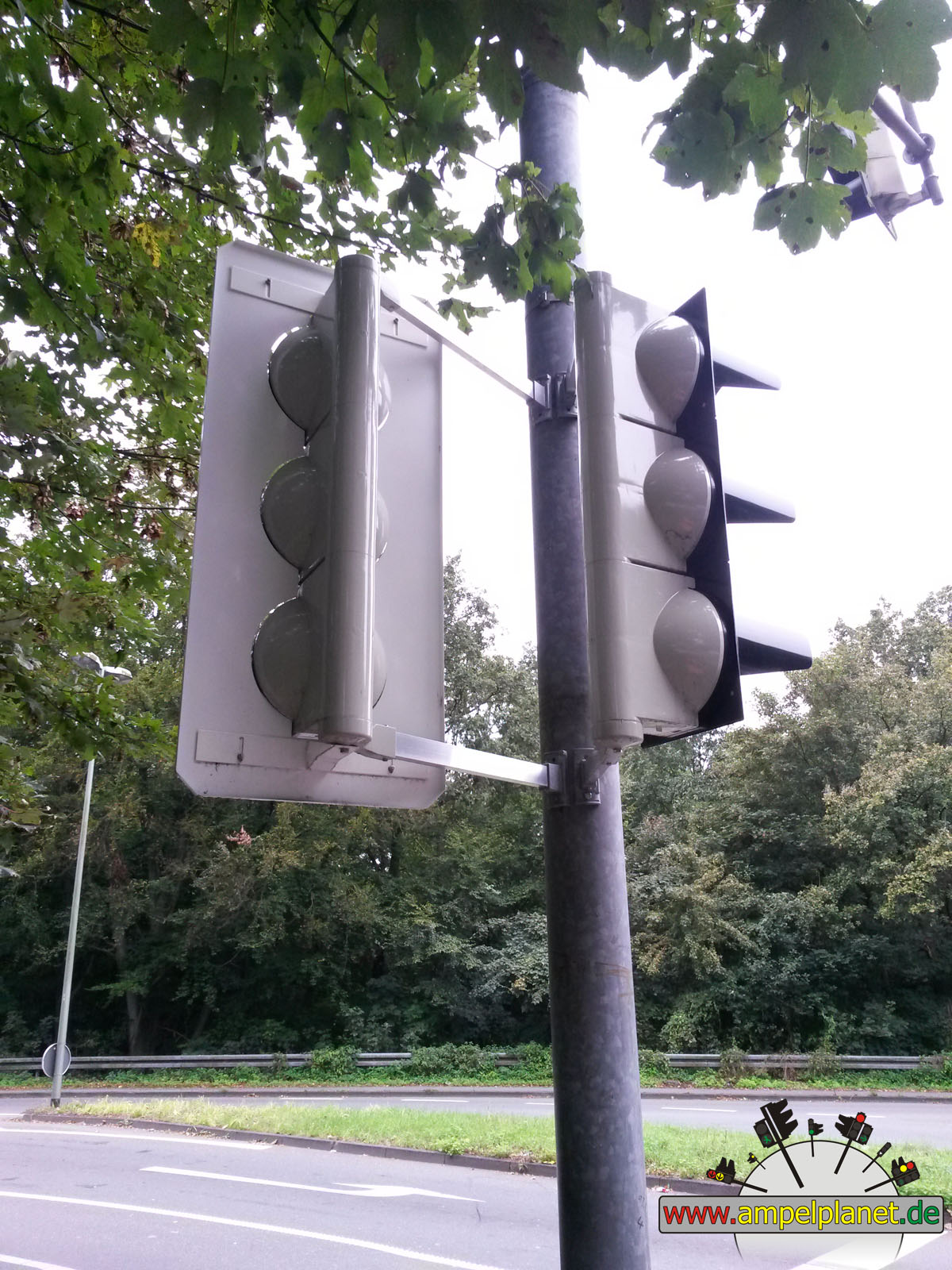
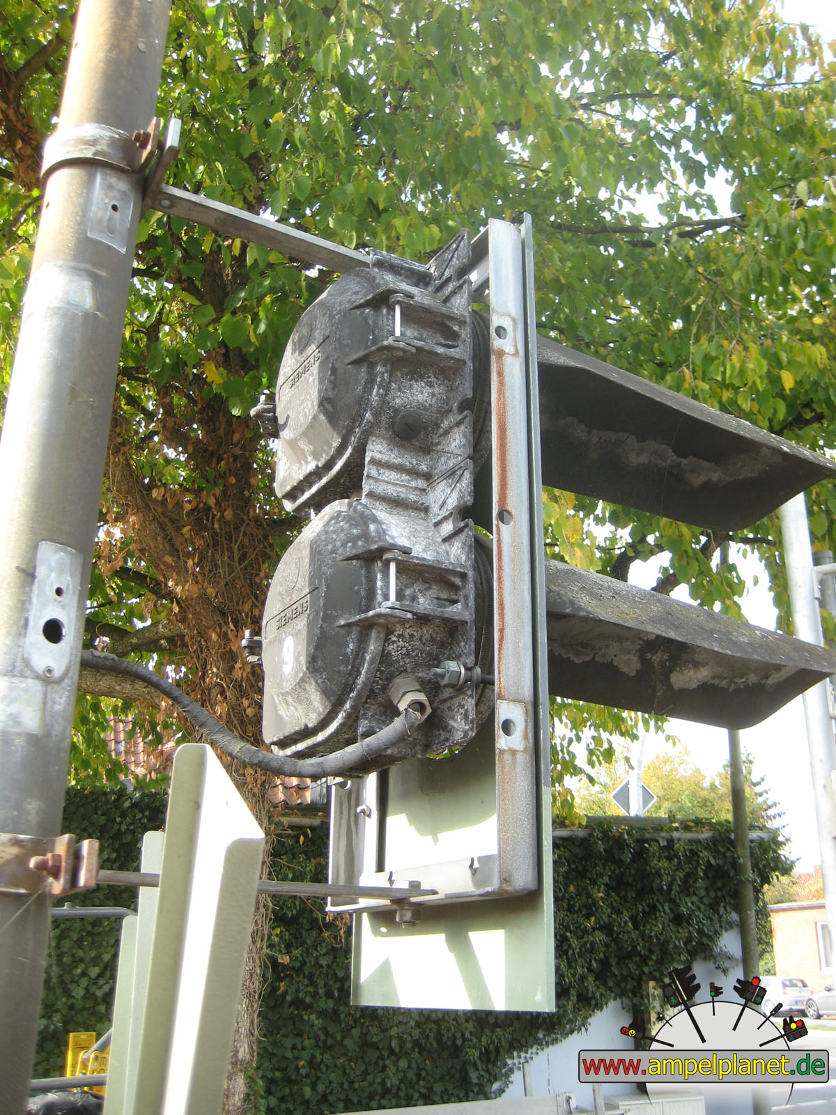
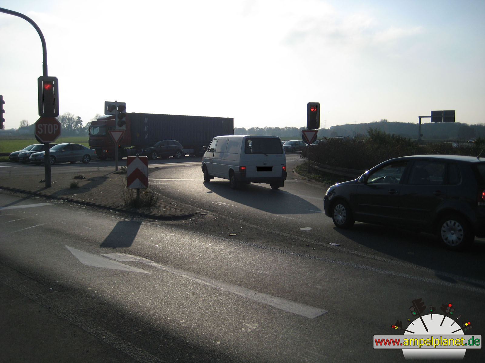
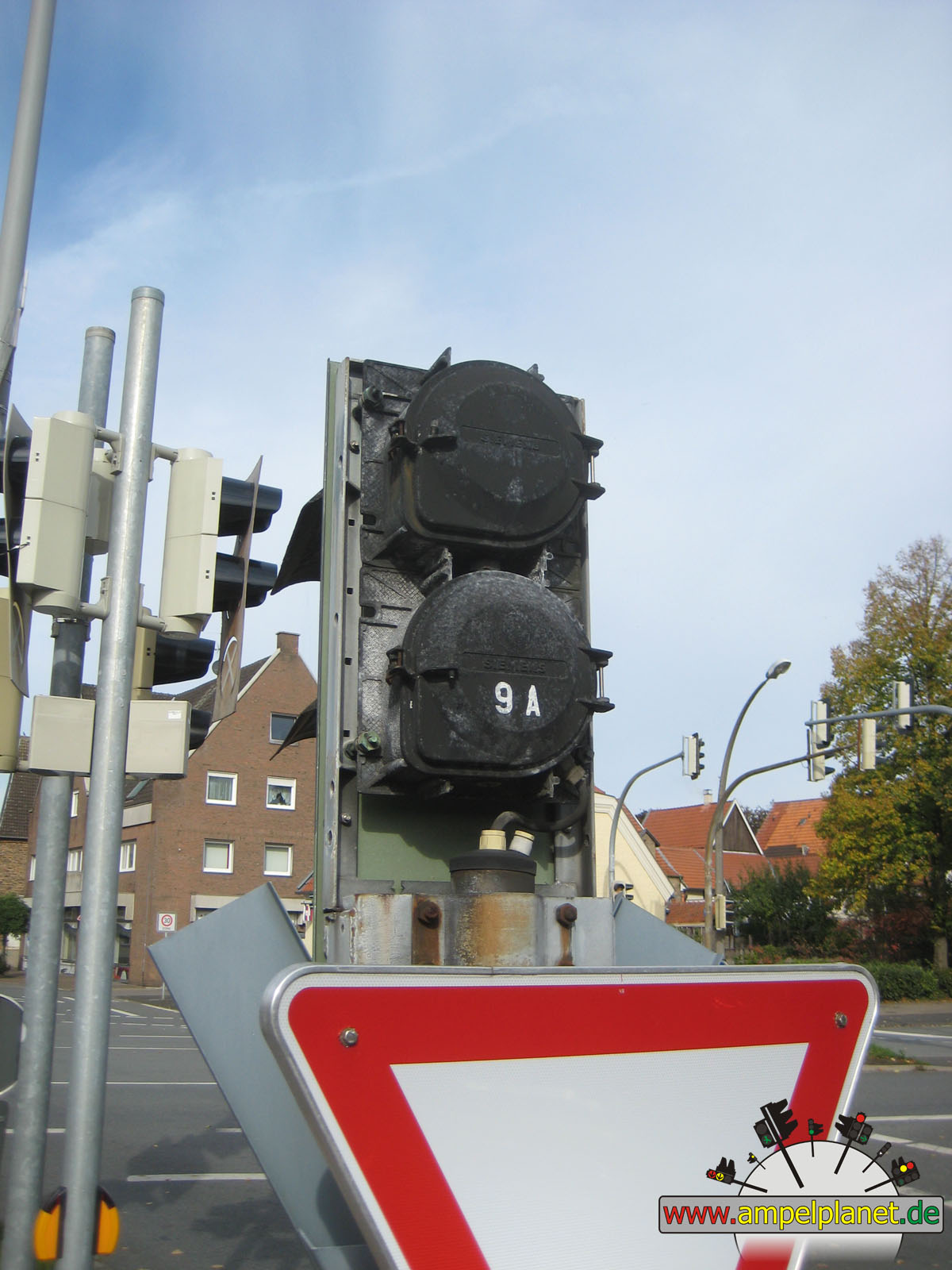
L60 Koloniestraße / L60 Bissingheimer Straße / L138 Uhlenhorststraße |
|
L60 Koloniestraße / L60 Bissingheimer Straße / L138 Uhlenhorststraße |
|
L60 Koloniestraße / L60 Bissingheimer Straße / L138 Uhlenhorststraße |
|
L60 Koloniestraße / L60 Bissingheimer Straße / L138 Uhlenhorststraße |
|
|
 |
 |
 |
||||
|
|
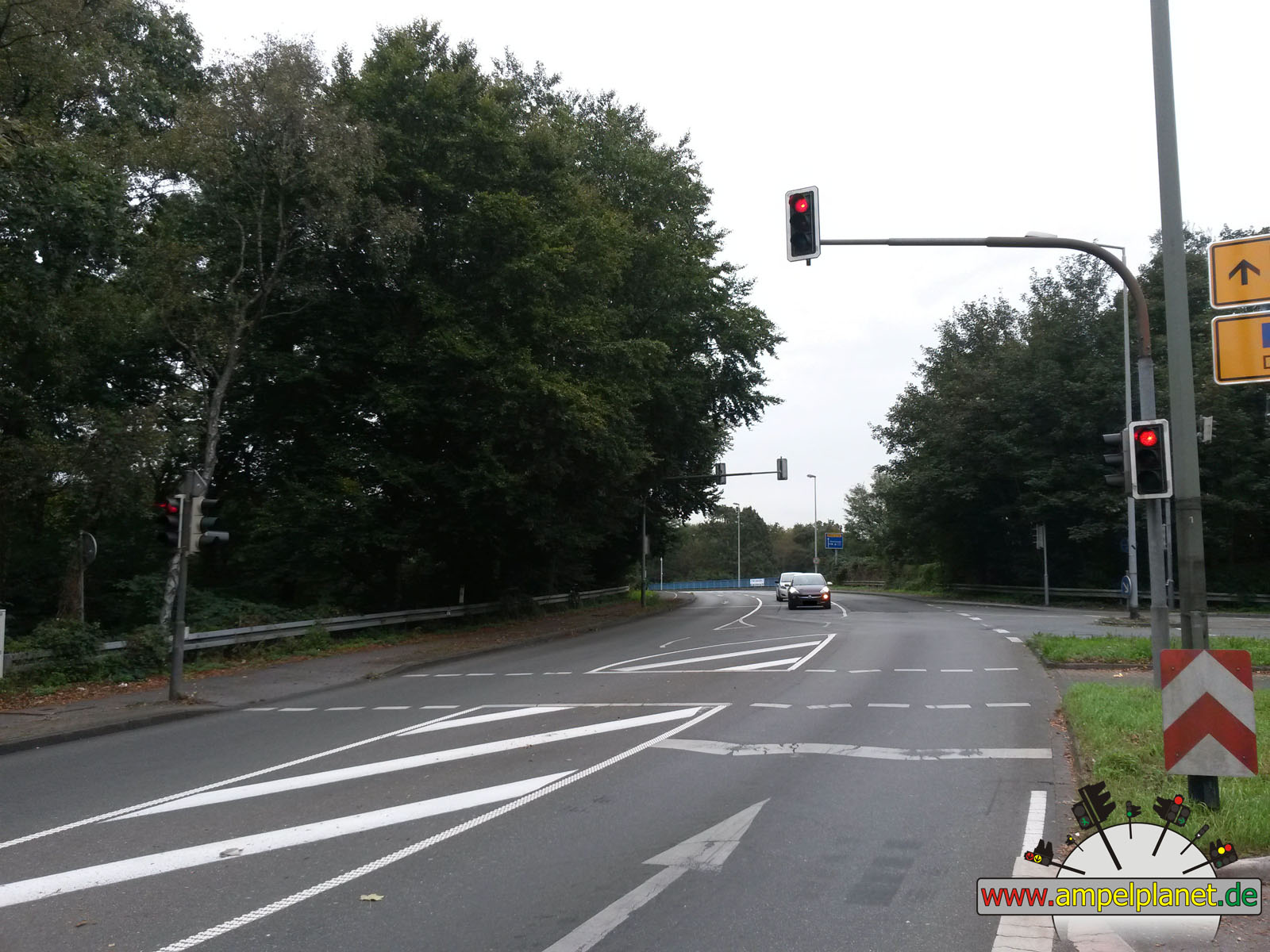
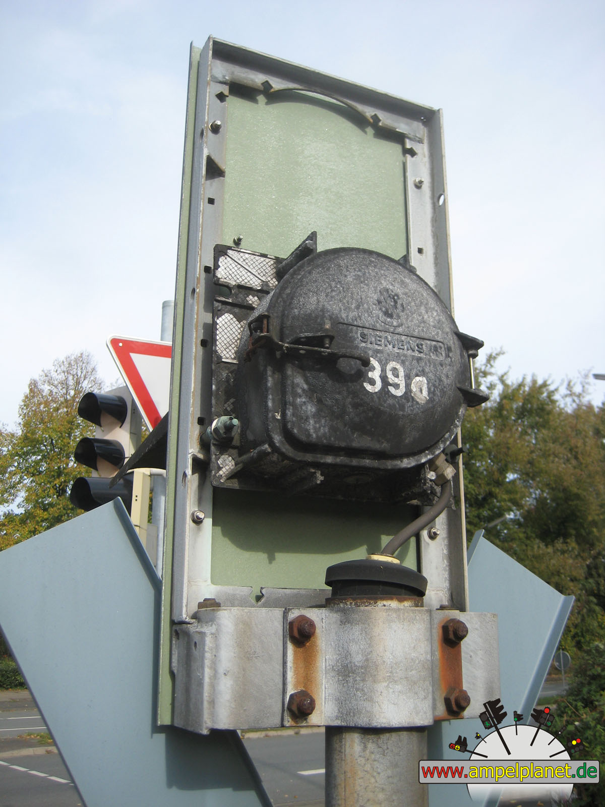
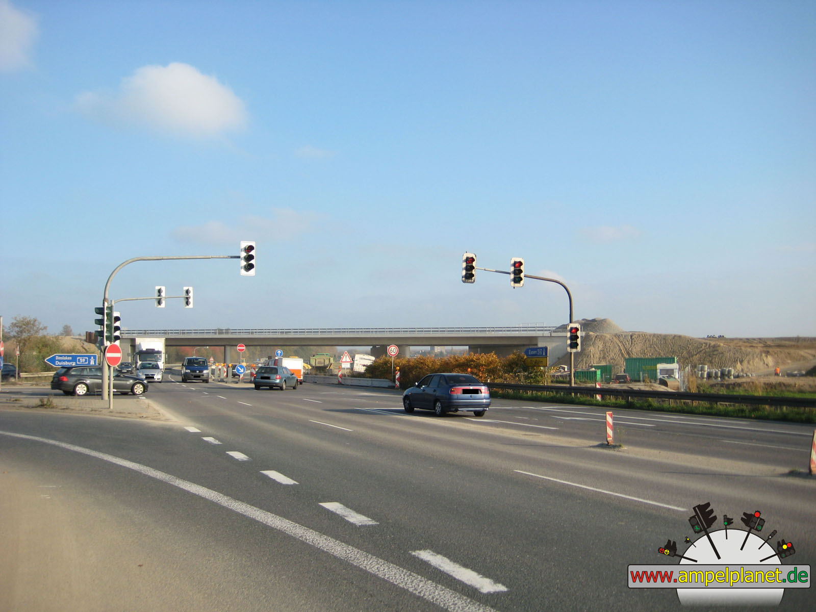
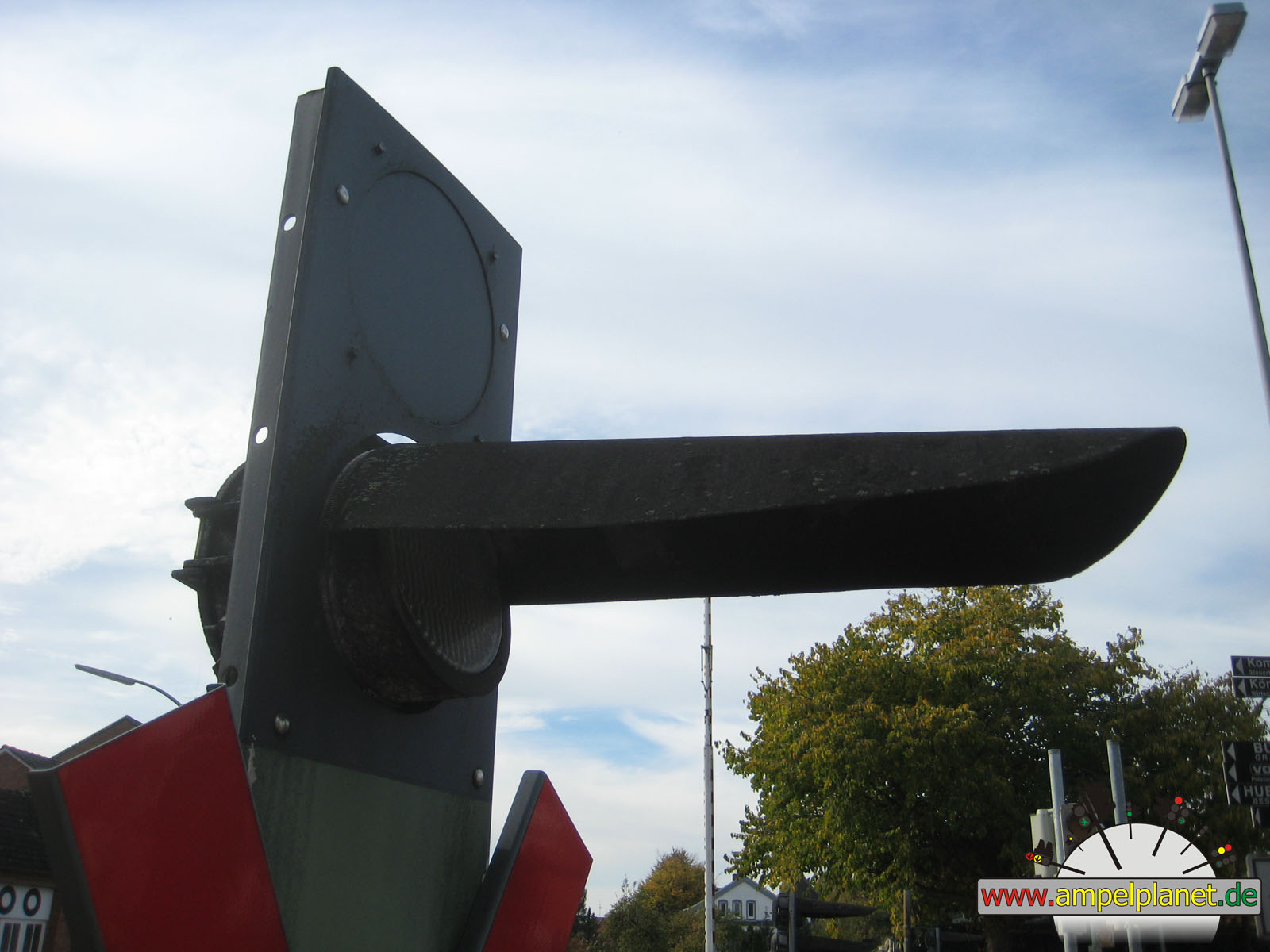
L60 Koloniestraße / L60 Bissingheimer Straße / L138 Uhlenhorststraße |
|
L60 Koloniestraße / L60 Bissingheimer Straße / L138 Uhlenhorststraße |
|
L60 Koloniestraße / L60 Bissingheimer Straße / L138 Uhlenhorststraße |
|
L60 Koloniestraße / L60 Bissingheimer Straße / L138 Uhlenhorststraße |
|
|
|||||||
|
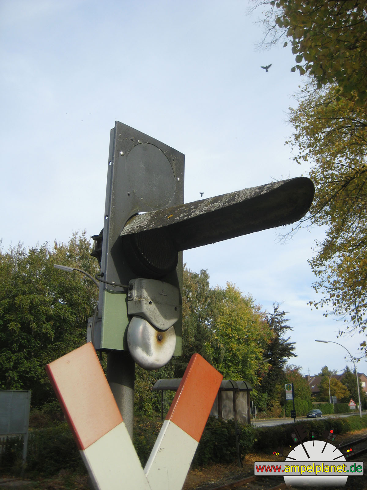
|
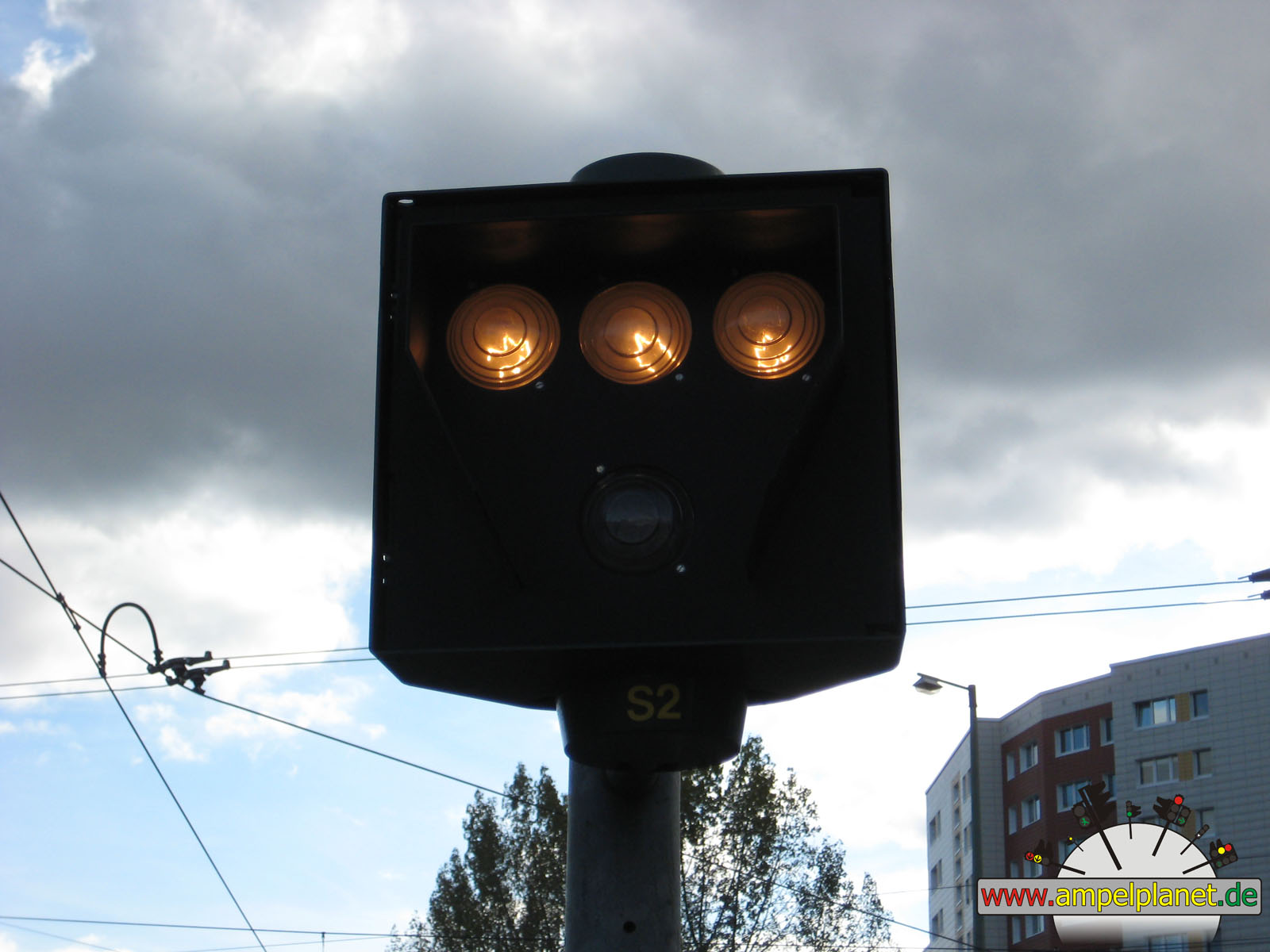
L60 Koloniestraße / L60 Bissingheimer Straße / L138 Uhlenhorststraße |
||||||
|
|
|
|
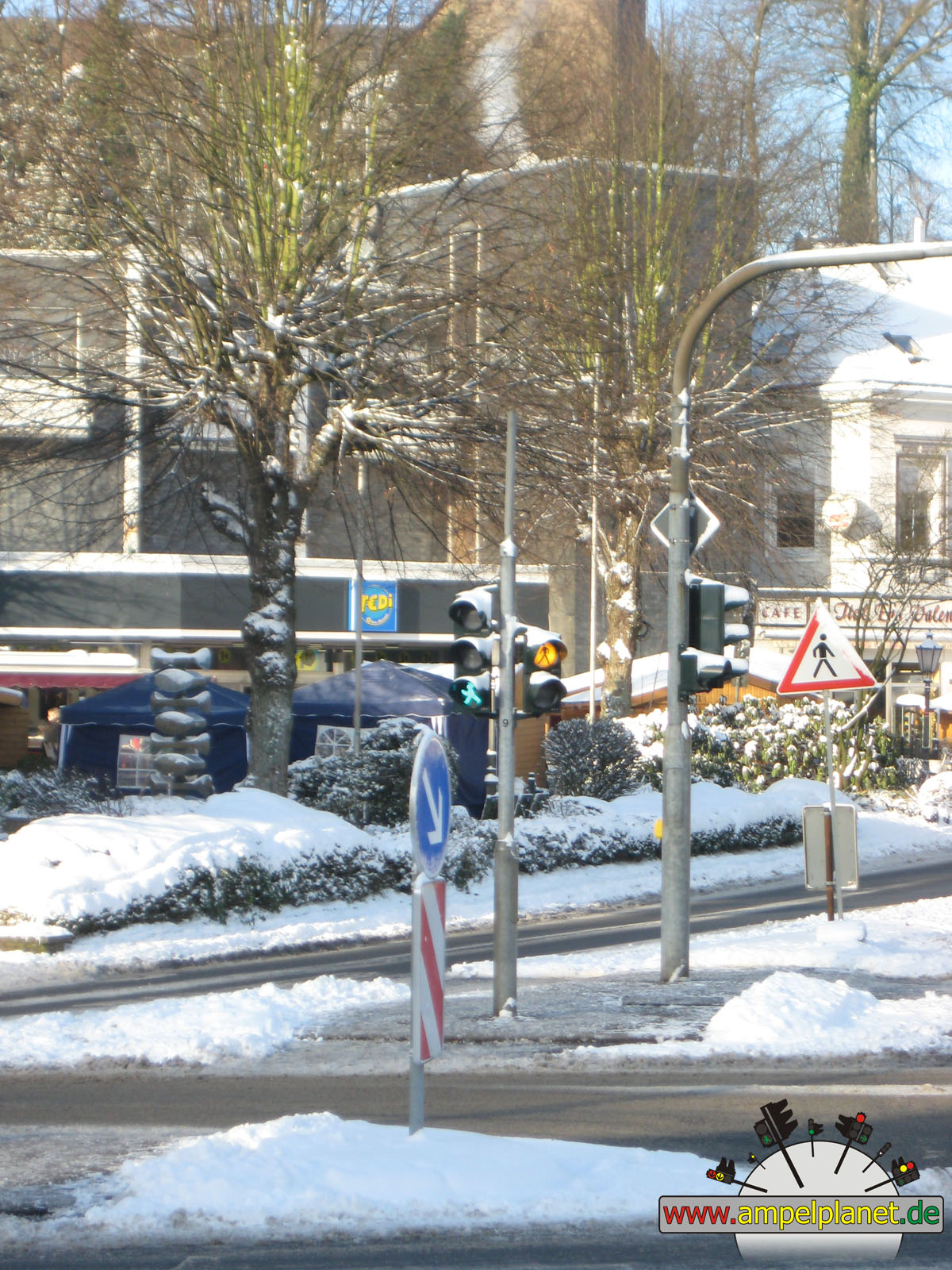
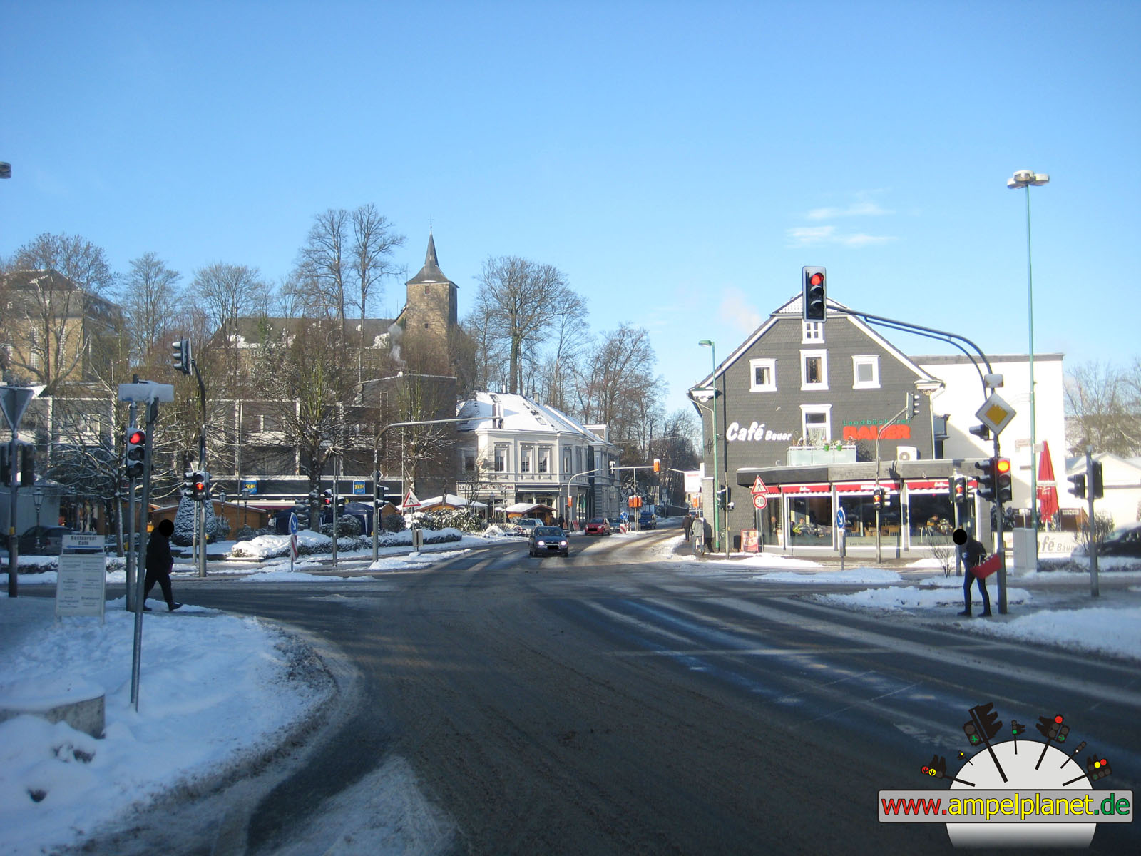
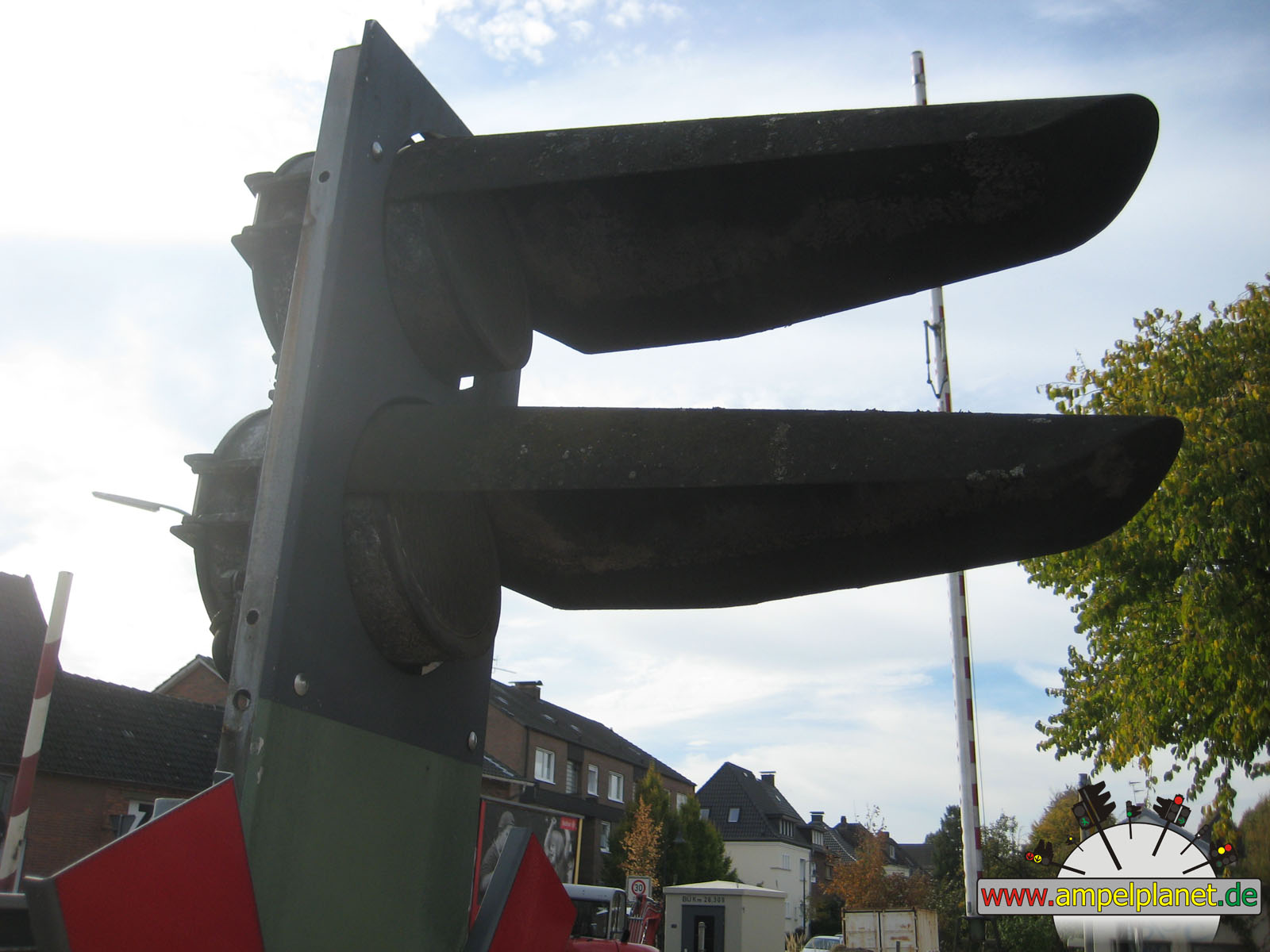
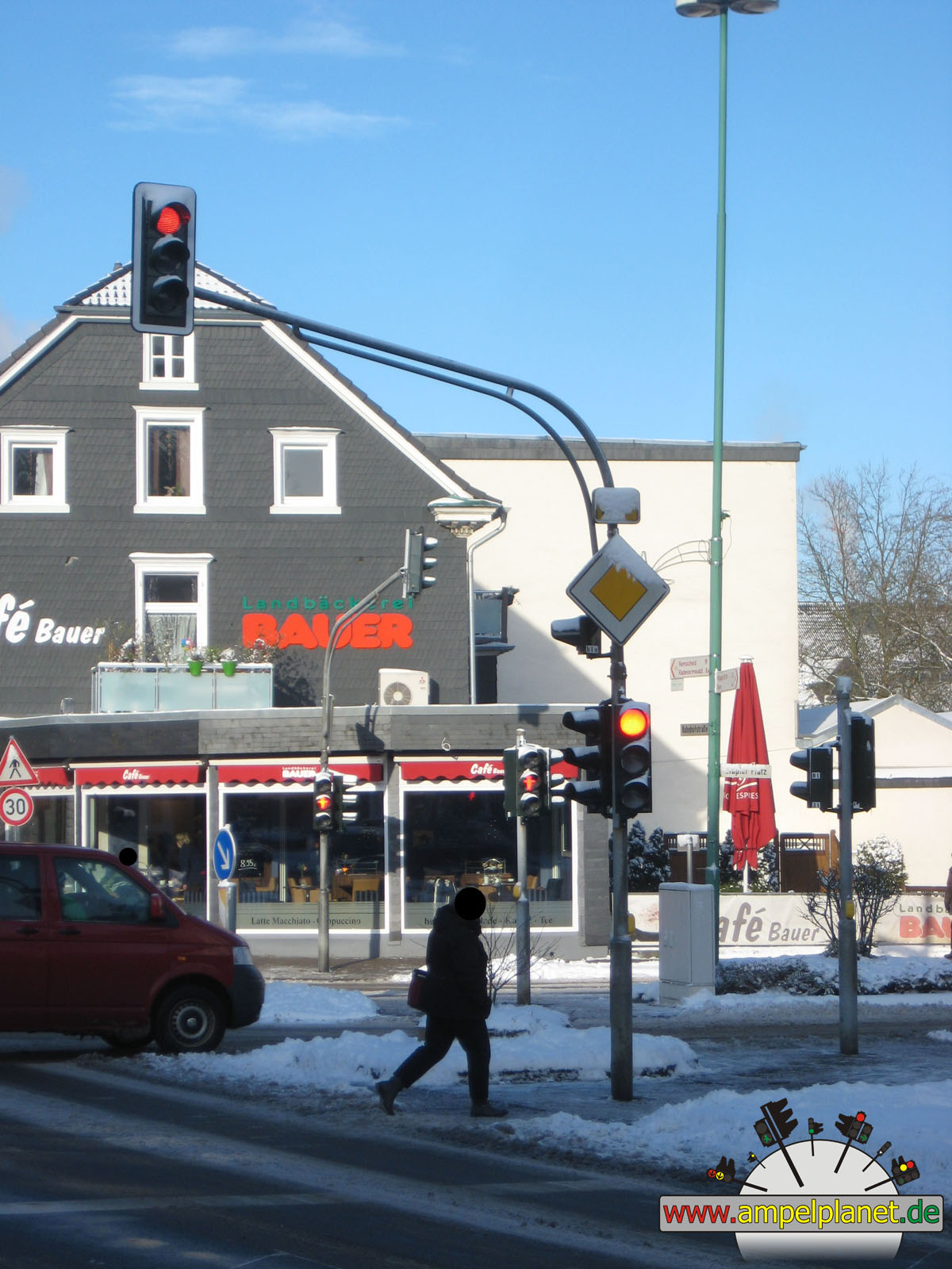
Warstein, 09/2014 NEU |
|
|
|
|
|
||||
|
|
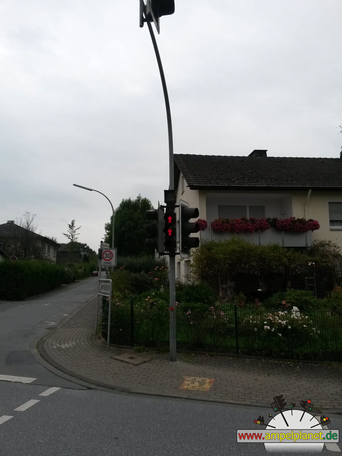
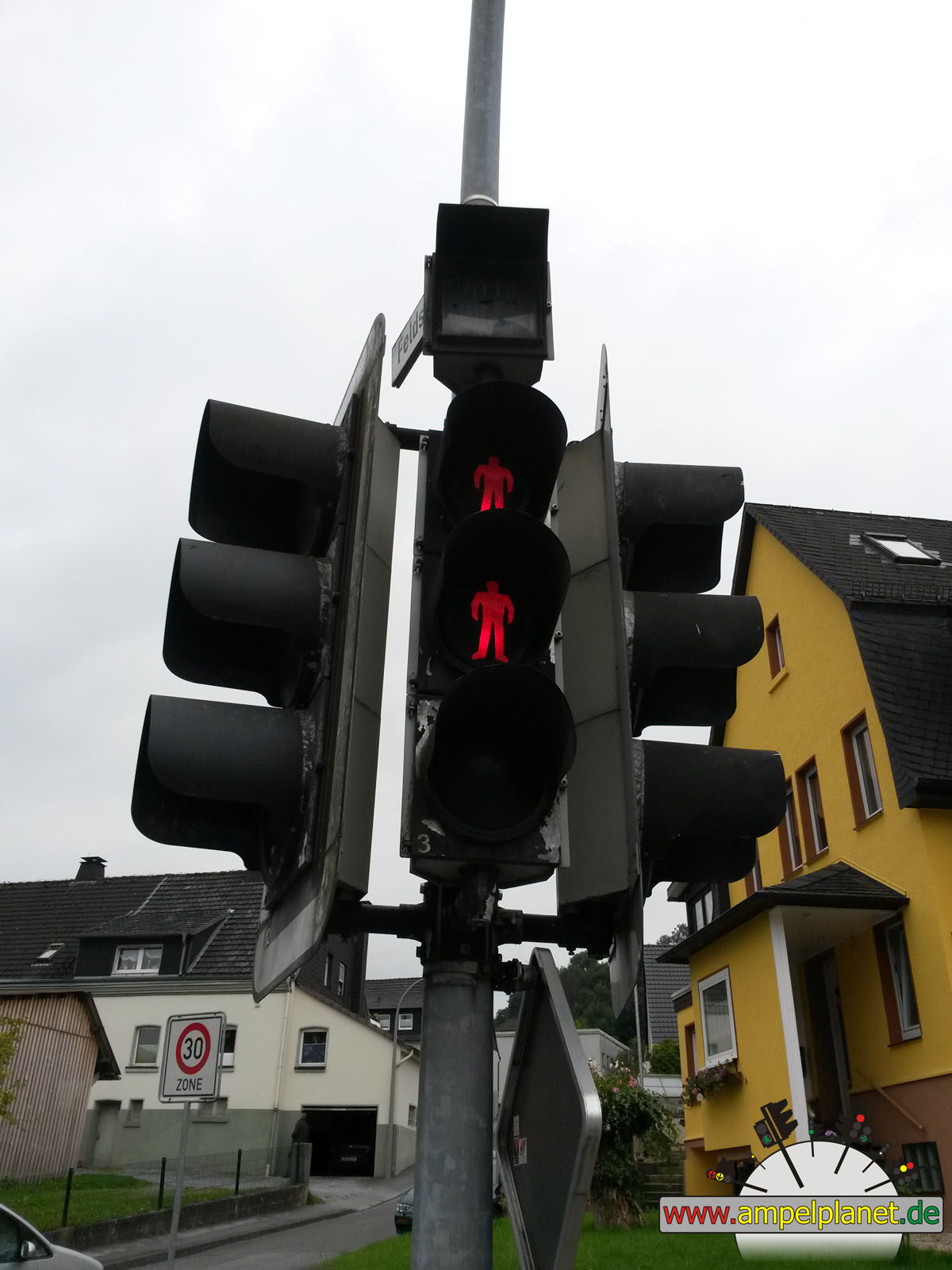
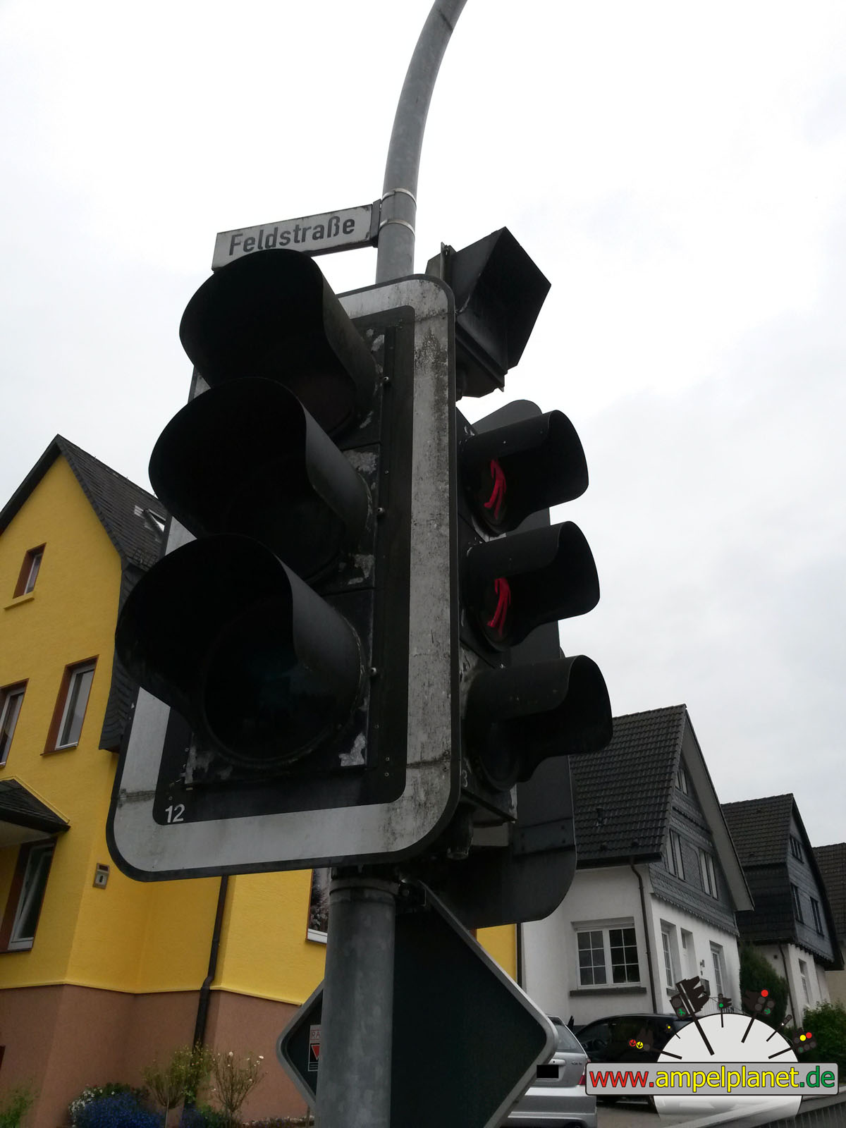
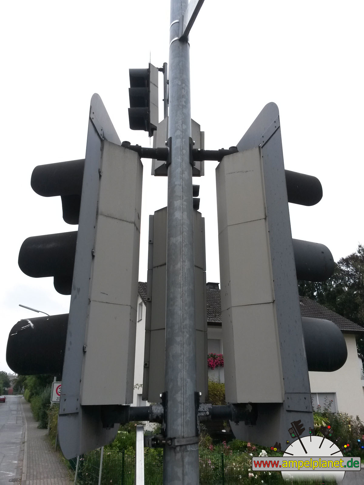
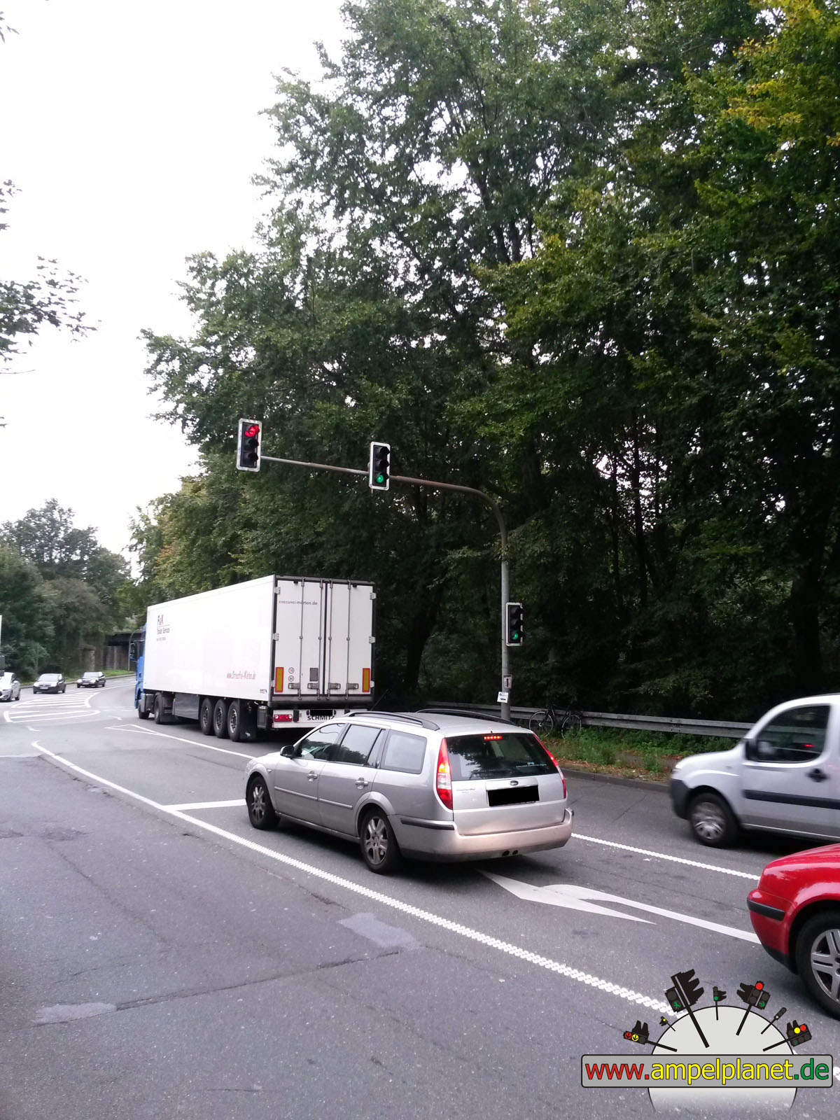
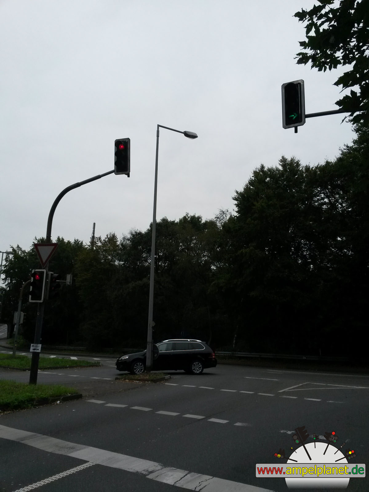
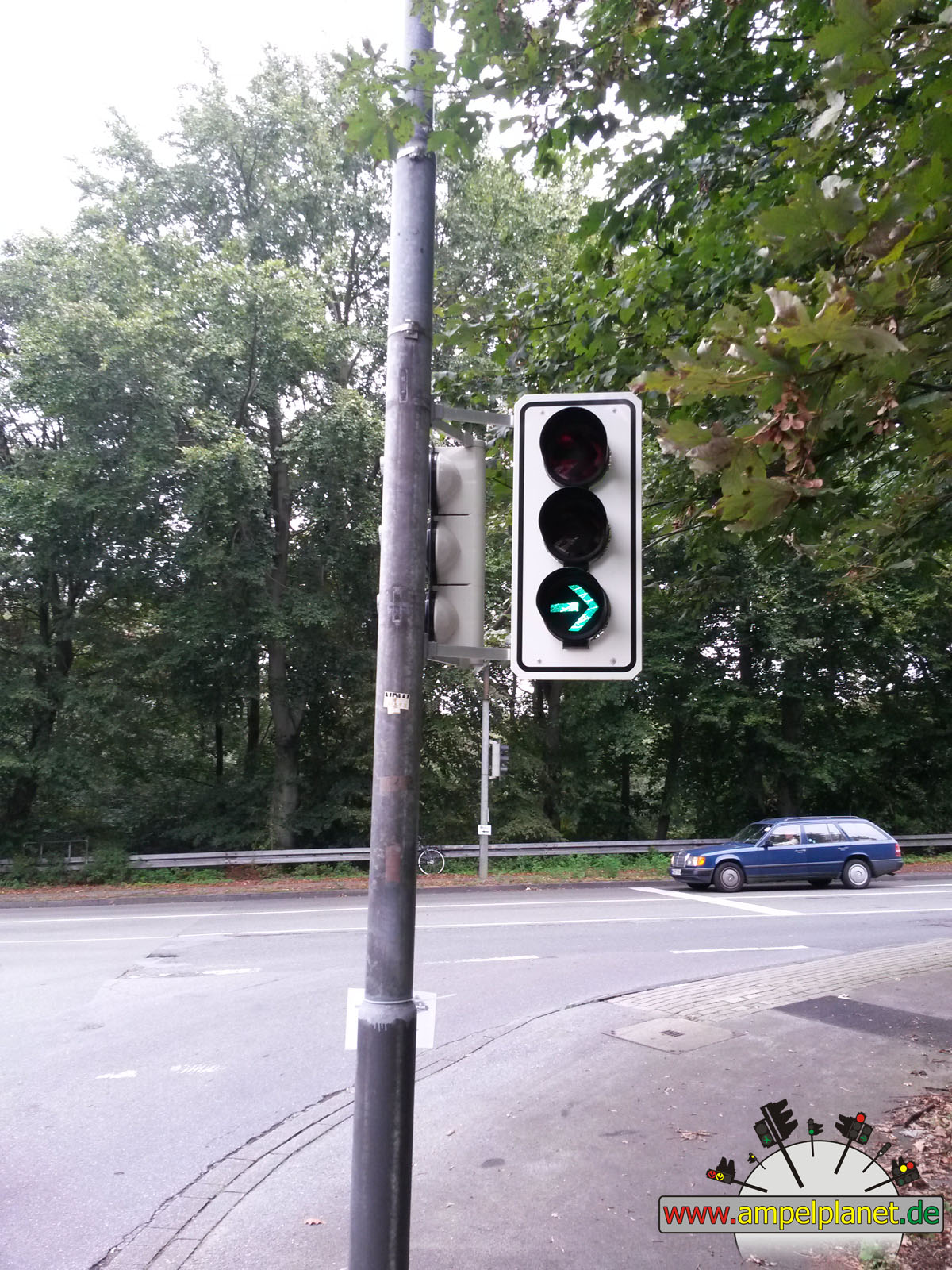
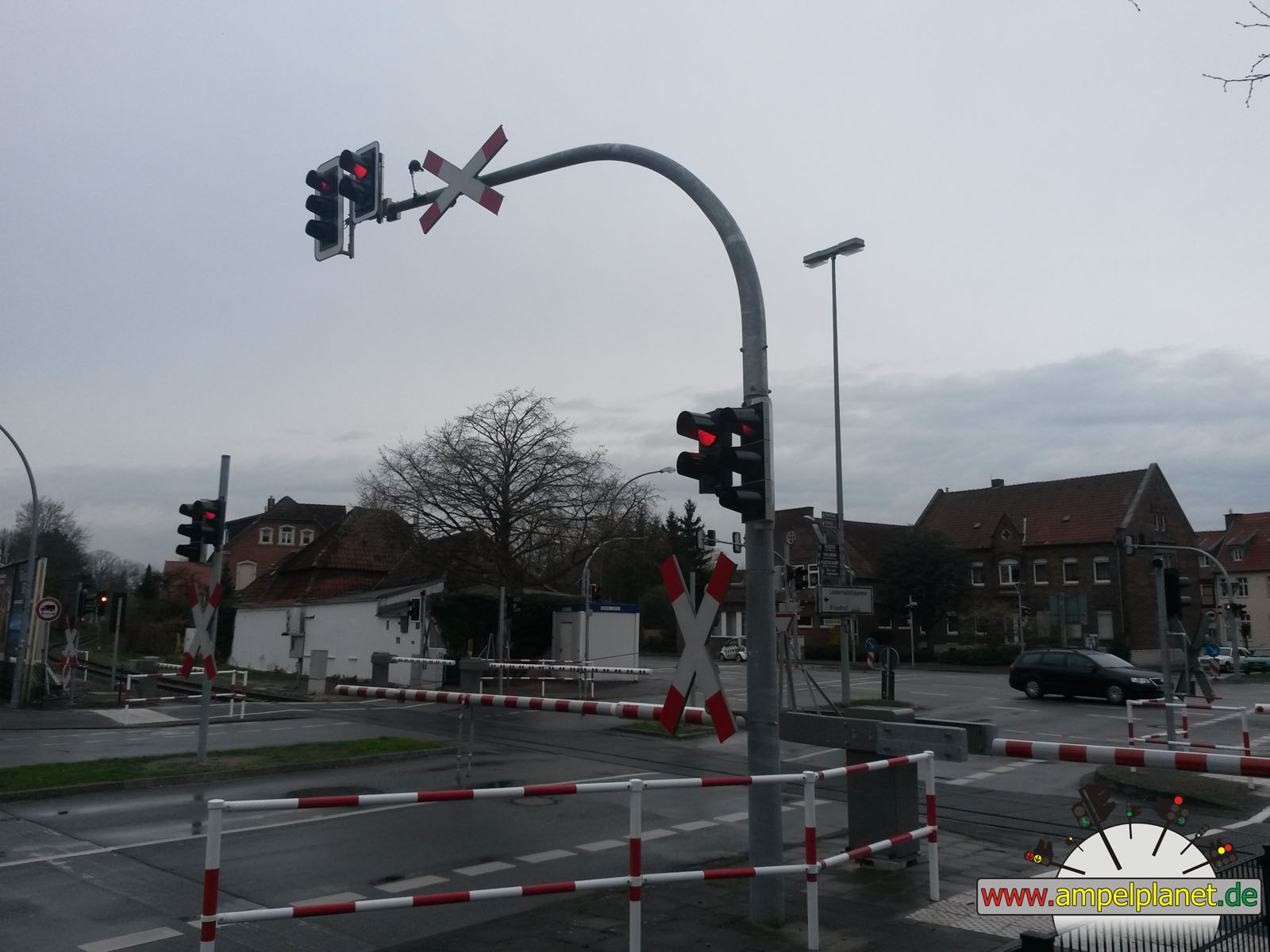
K69 Schwarzer Weg / Bergenthalstraße / Feldstraße |
|
K69 Schwarzer Weg / Bergenthalstraße / Feldstraße |
|
K69 Schwarzer Weg / Bergenthalstraße / Feldstraße |
|
K69 Schwarzer Weg / Bergenthalstraße / Feldstraße |
|
|
|||||||
|
|
K69 Schwarzer Weg / Bergenthalstraße / Feldstraße |
||||||
|
|
|
|
Augsburg, 05/2014 NEU |
|
|
|
||||||
|
|
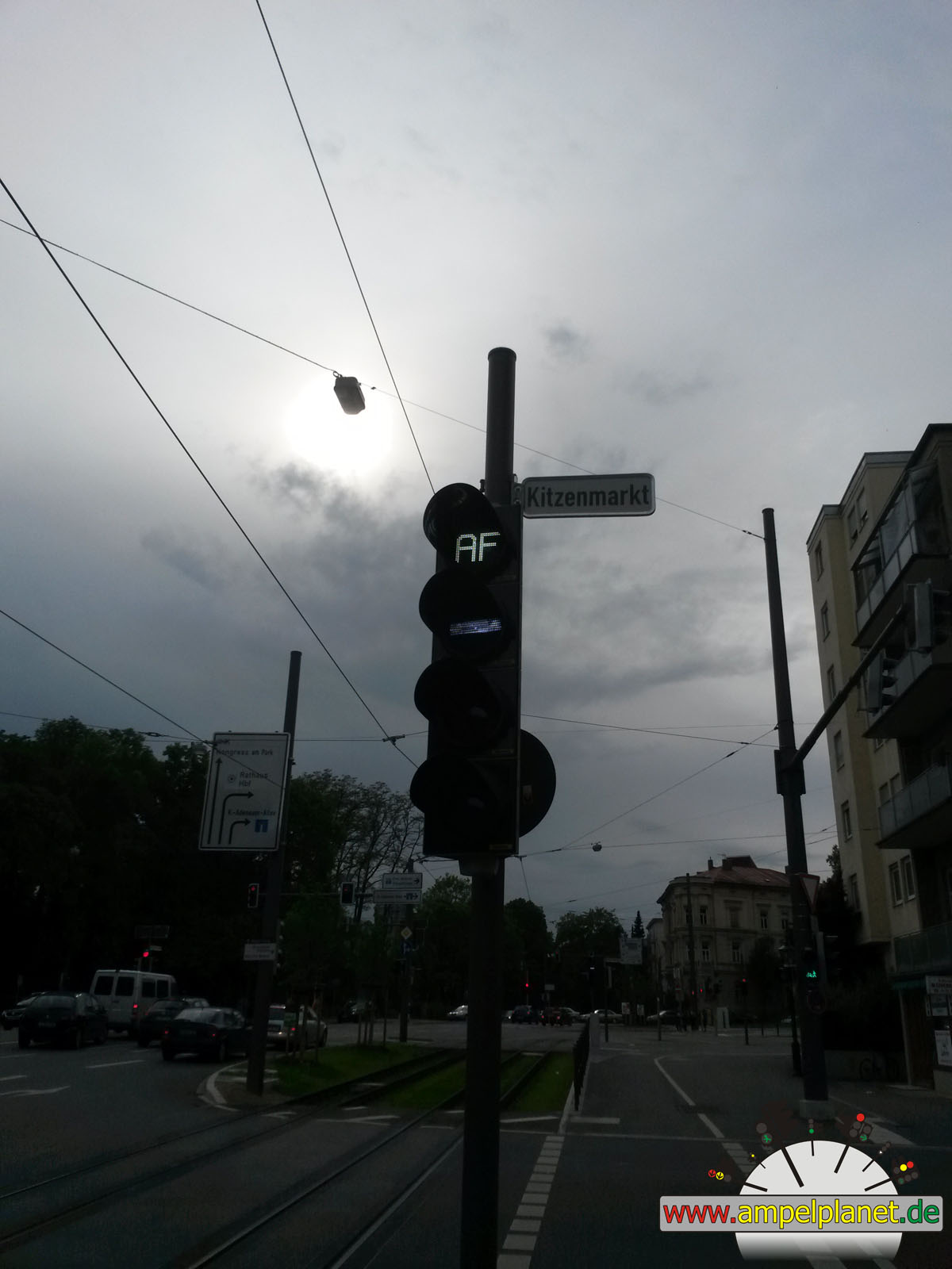
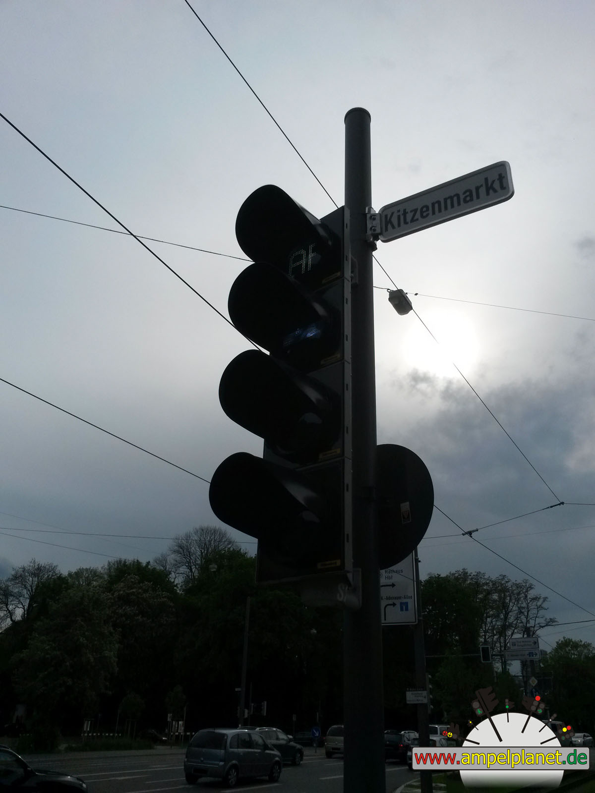
Theodor-Heuss-Platz / Kitzenmarkt |
|
Theodor-Heuss-Platz / Kitzenmarkt |
||||
|
|
|
|
Bönen, 04/2014 NEU |
|
|
|
|
|
||||
|
|
Rudolf-Diesel-Straße / Nordbögger Straße |
|
Rudolf-Diesel-Straße / Nordbögger Straße |
|
Rudolf-Diesel-Straße / Nordbögger Straße |
|
Rudolf-Diesel-Straße / Nordbögger Straße |
|
|
|||||||
|
|
Rudolf-Diesel-Straße / Nordbögger Straße |
||||||
|
|
|
|
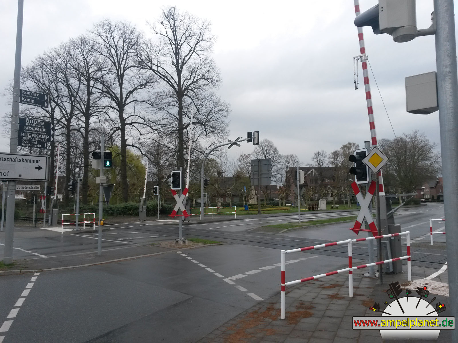
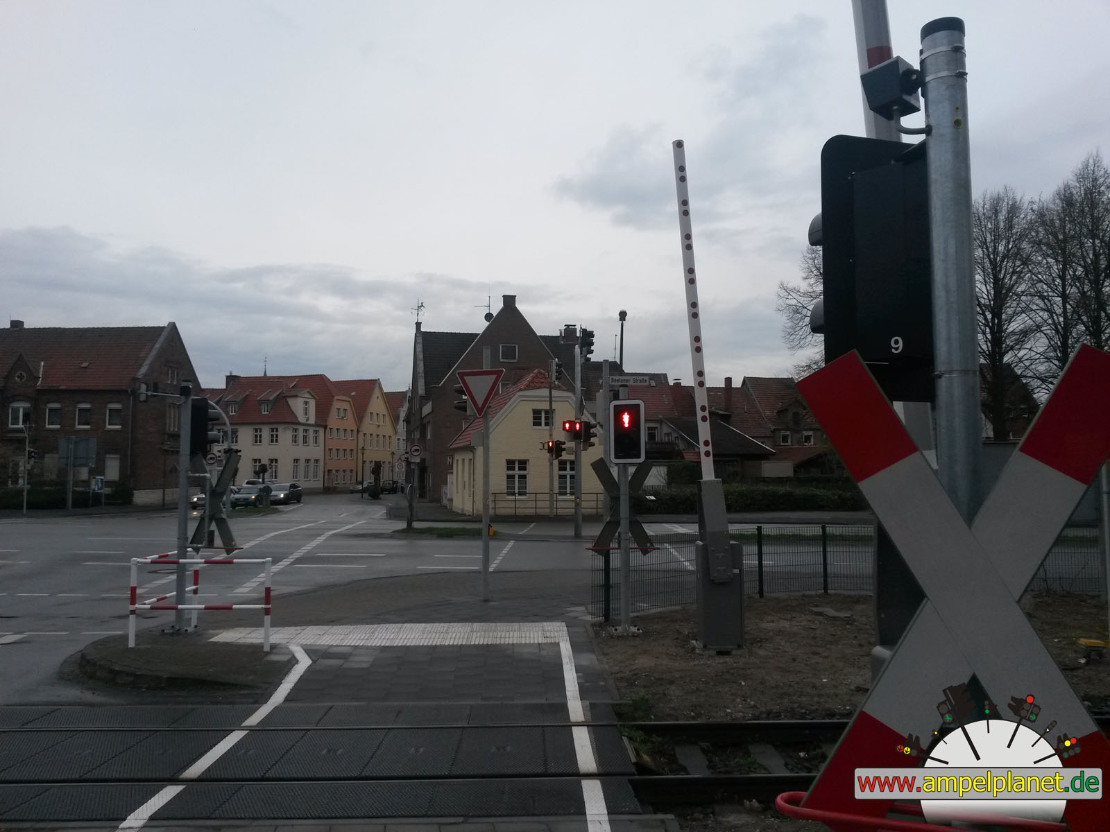
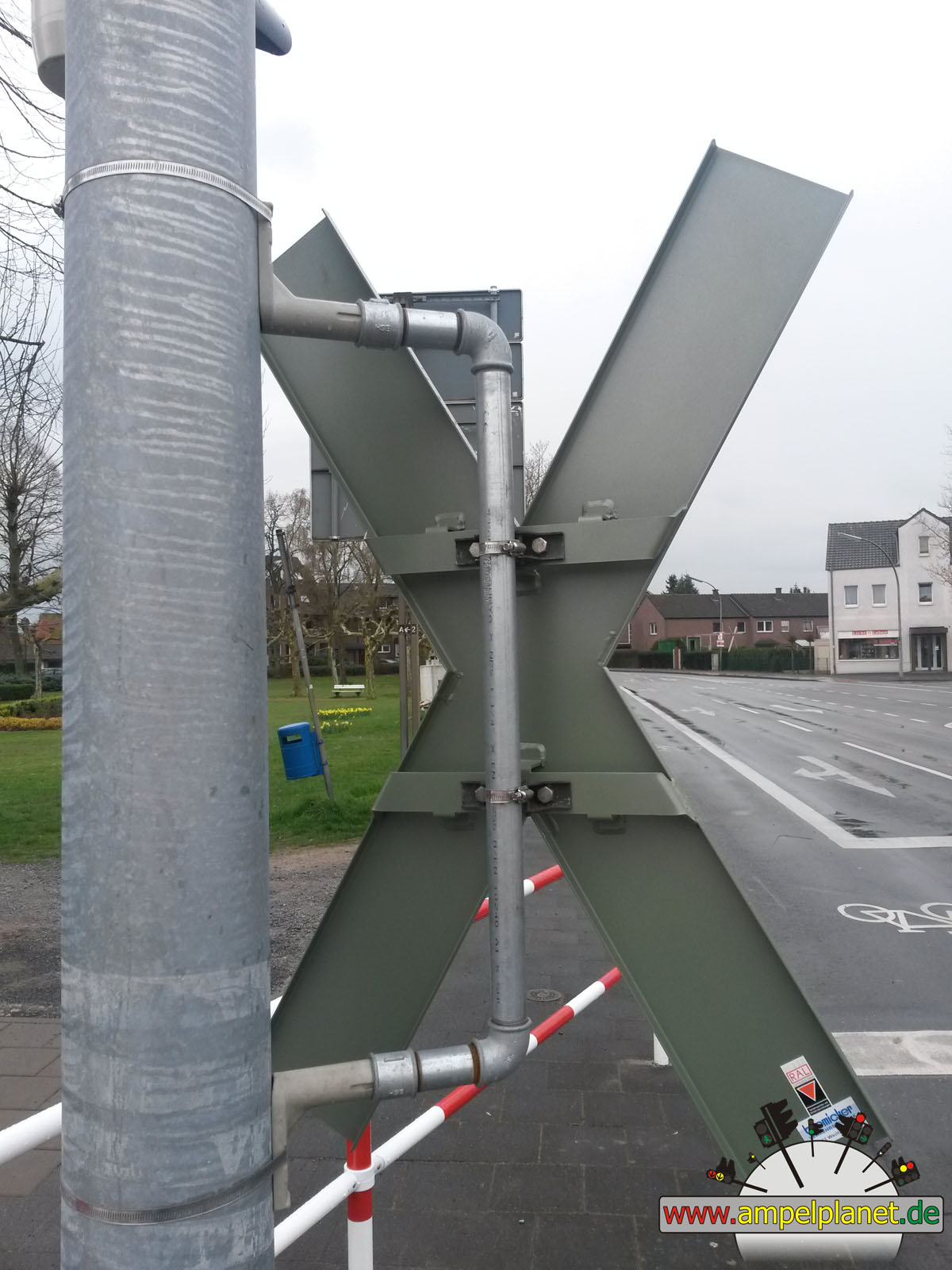
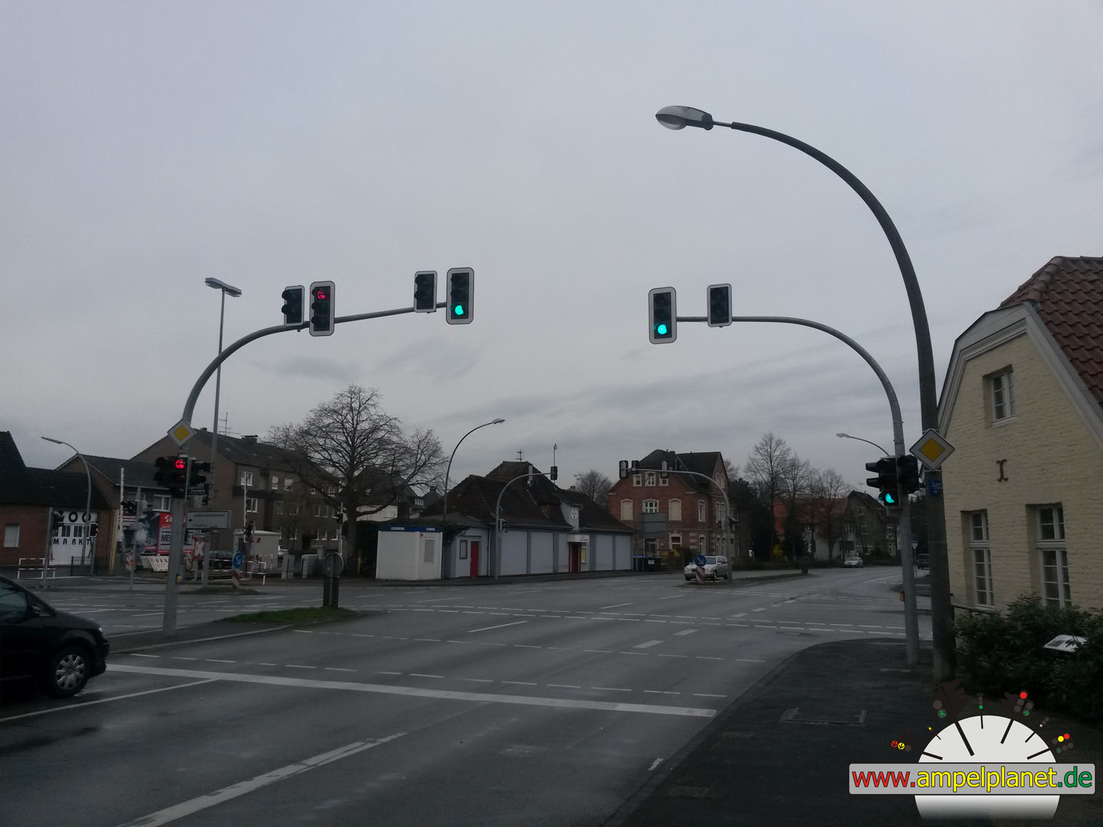
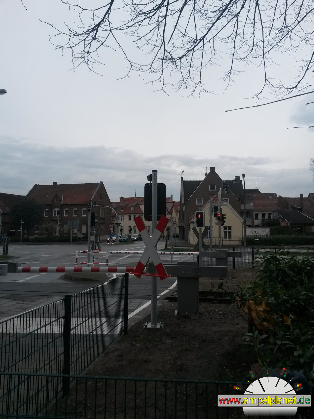
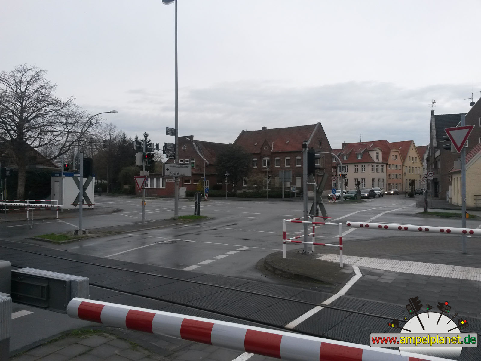
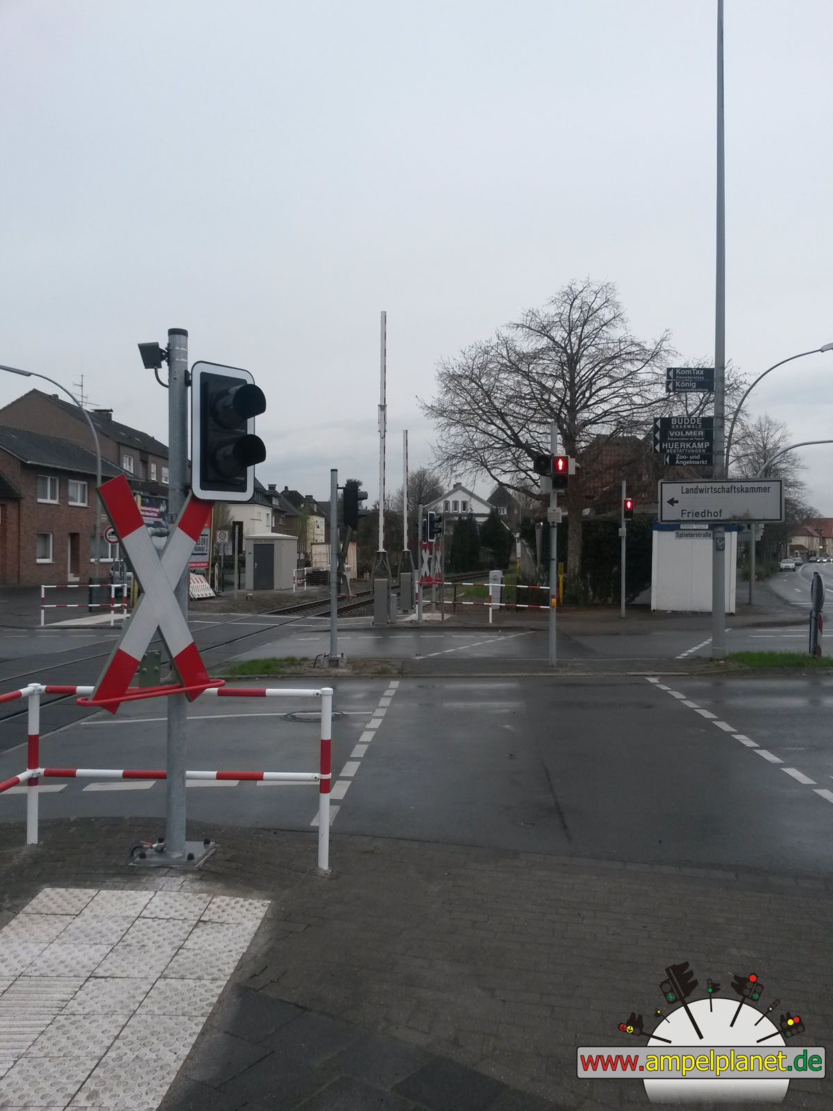
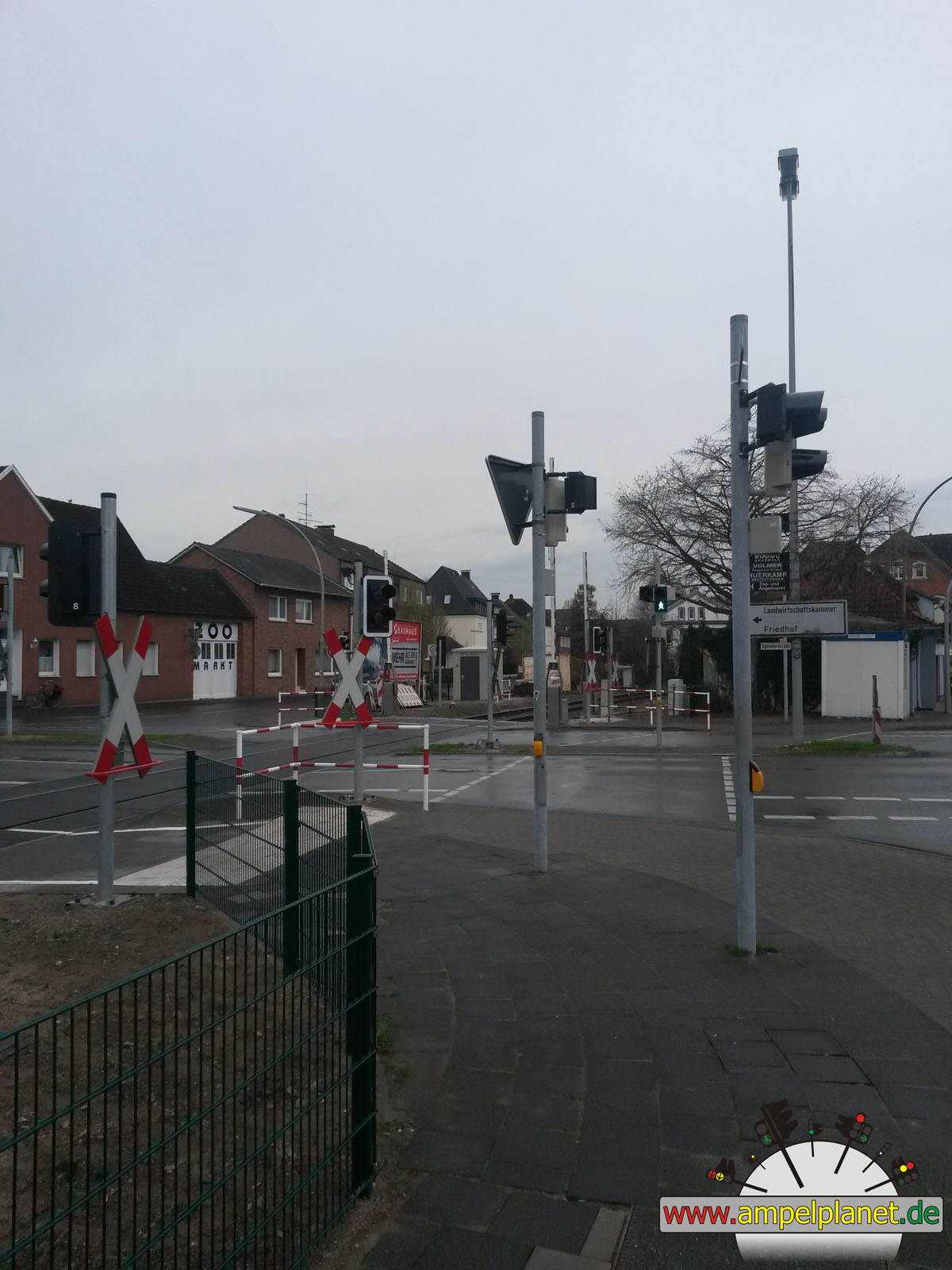
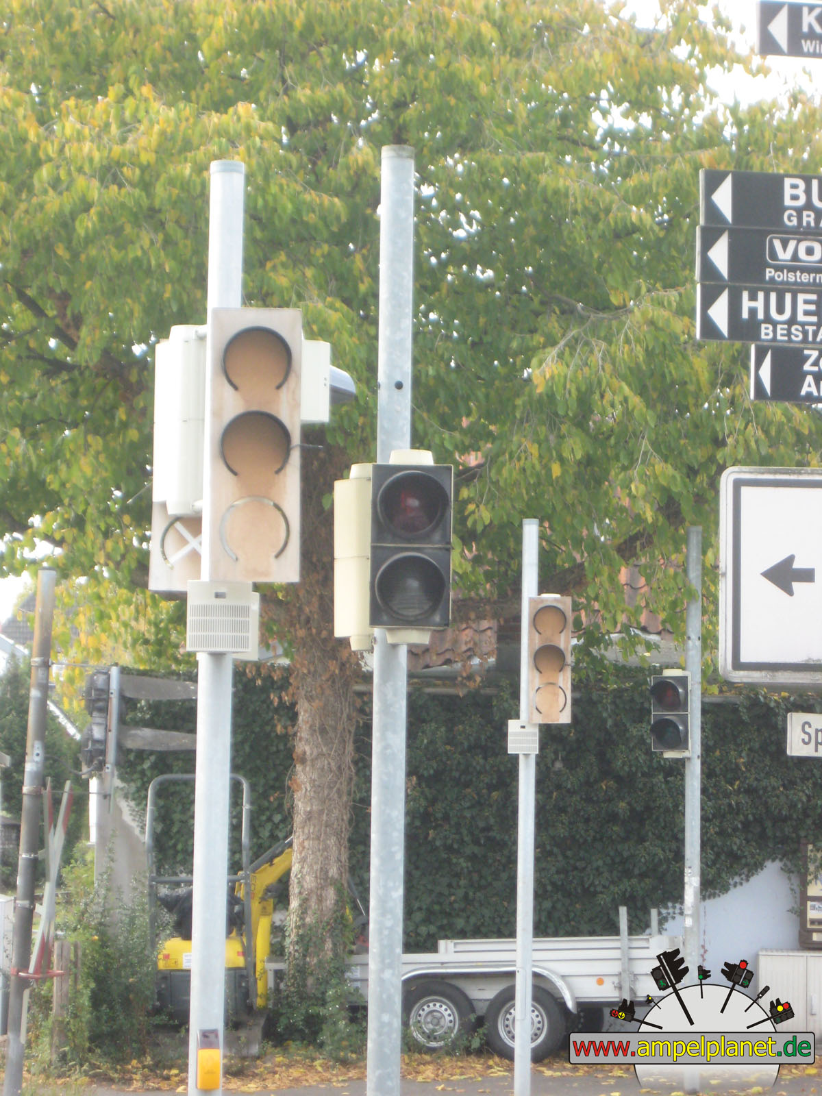
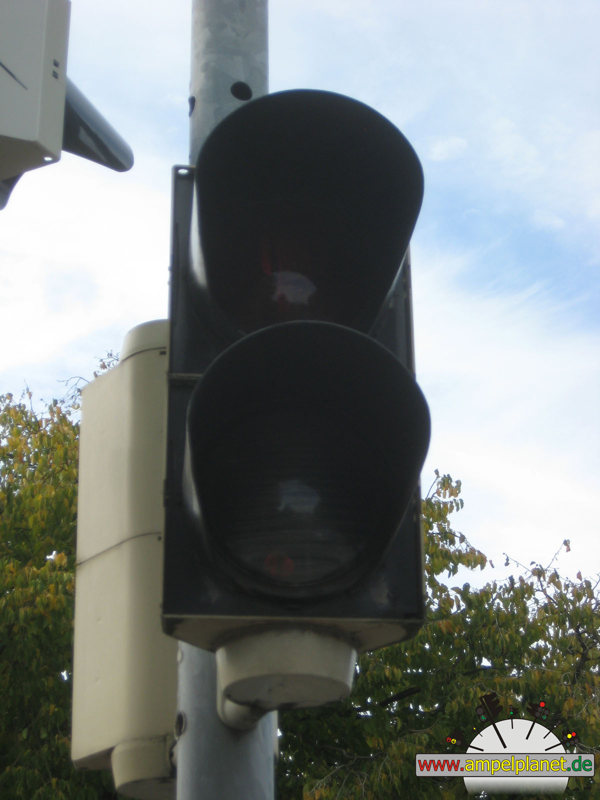
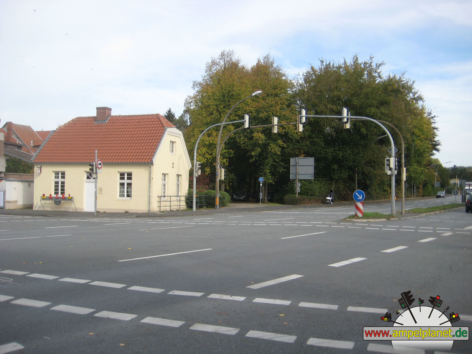
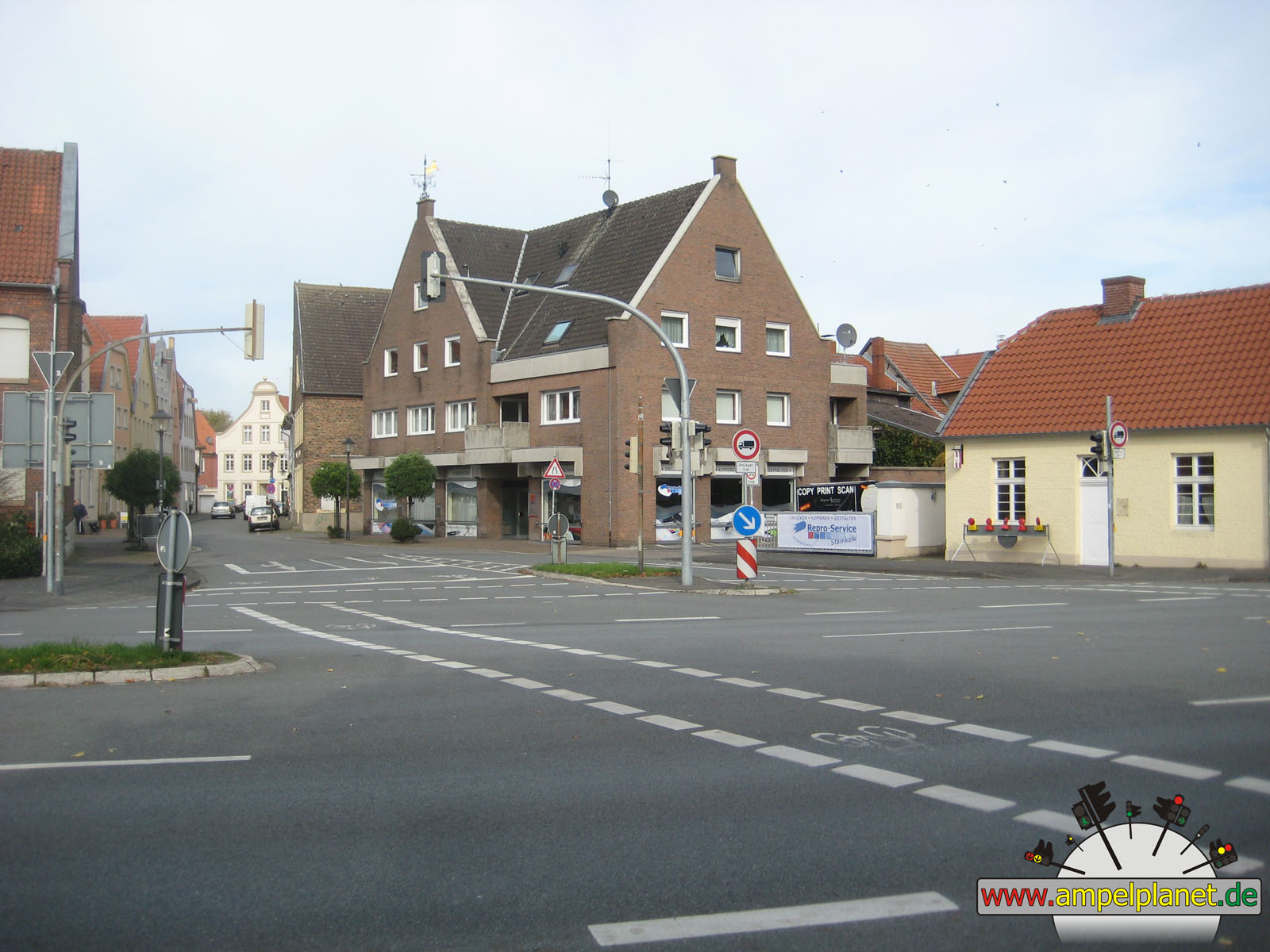
Warendorf, 03/2014 NEU |
|
|
|
|
|
||||
|
|
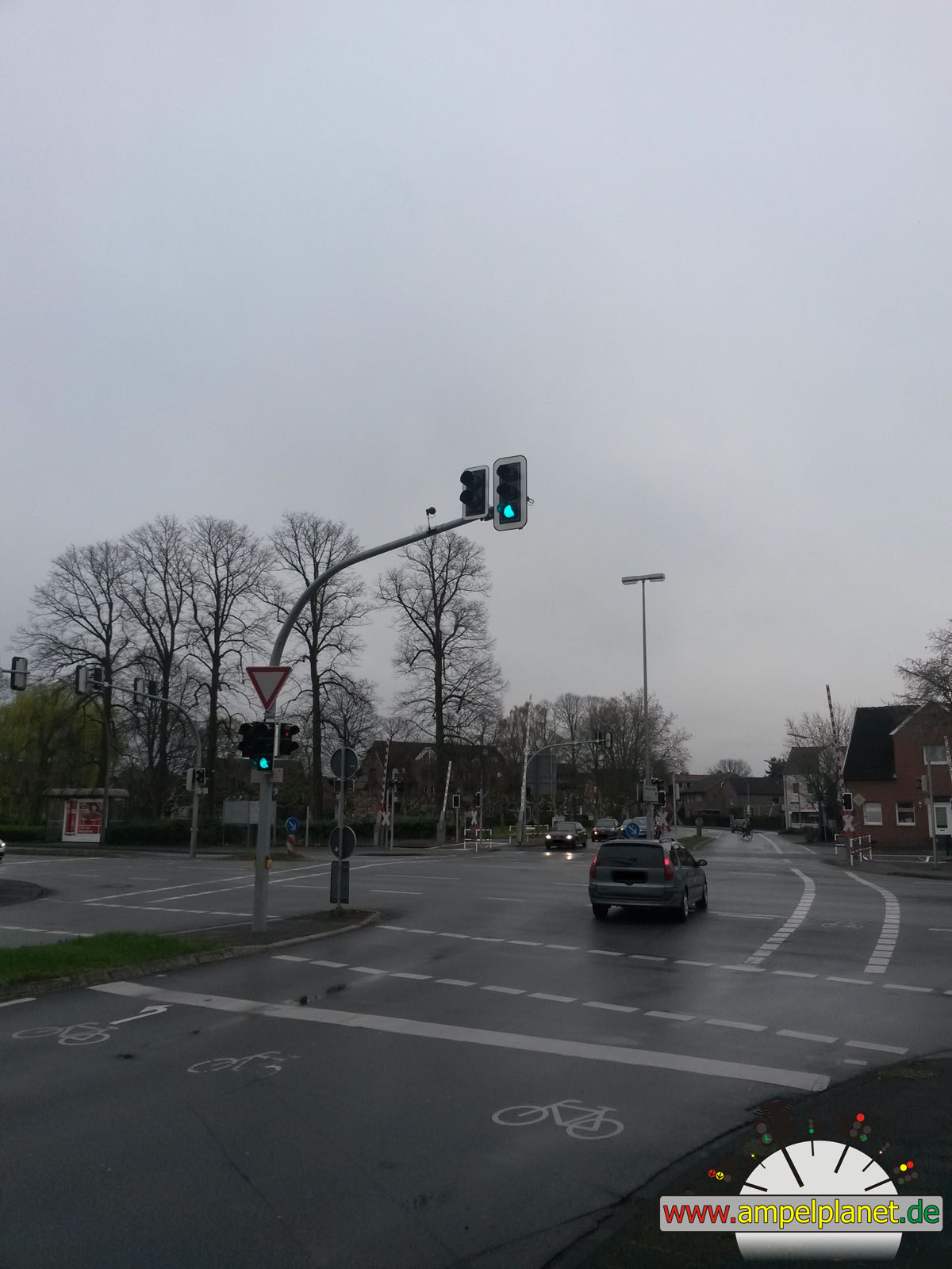
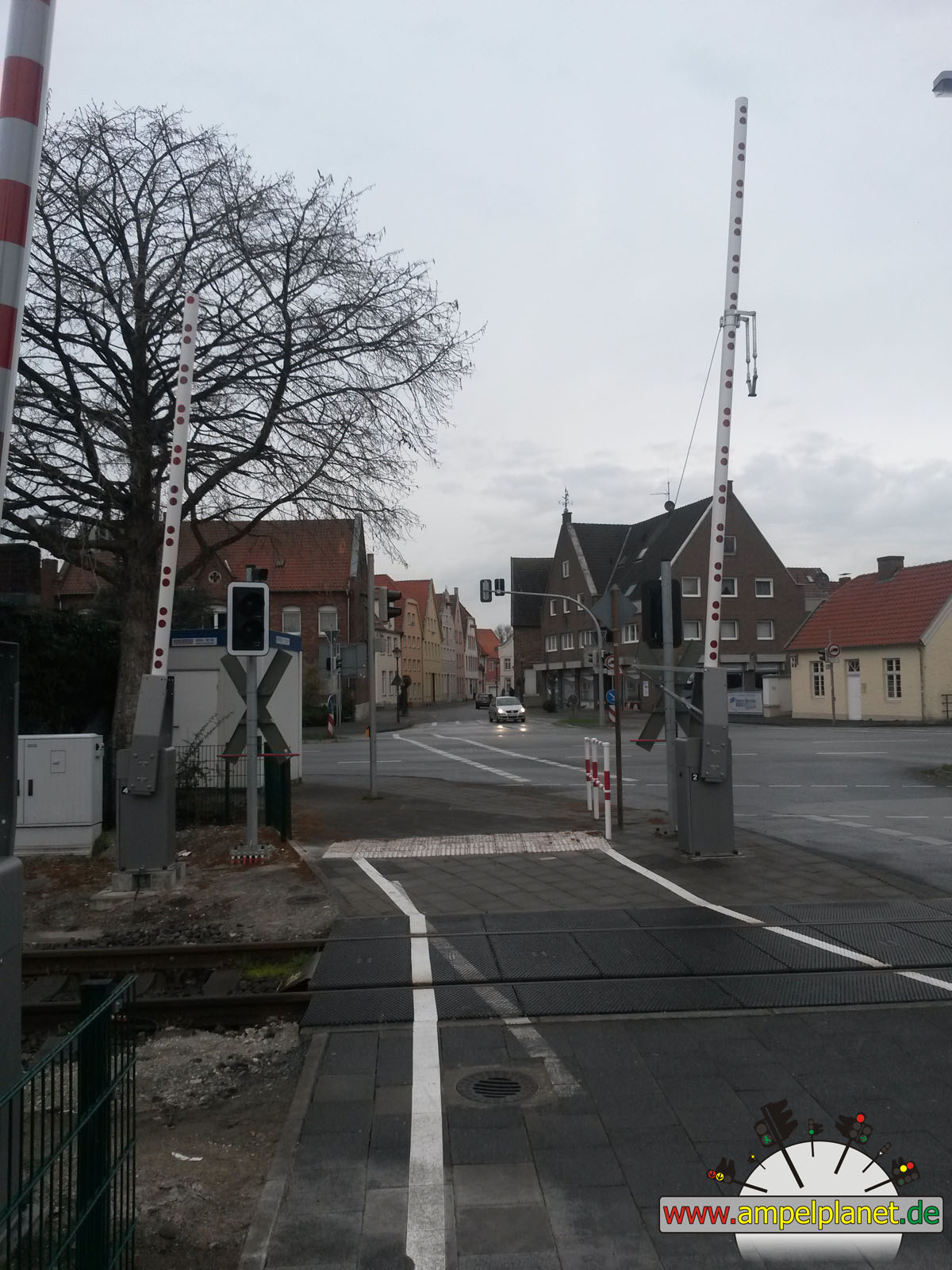
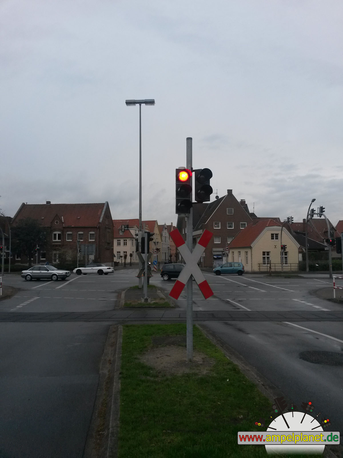
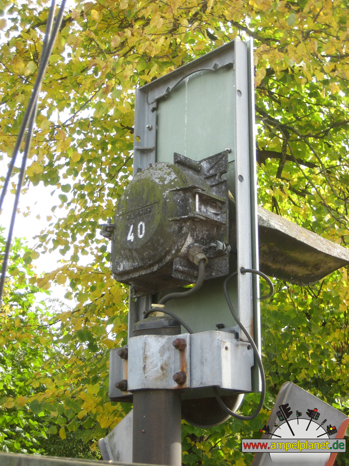
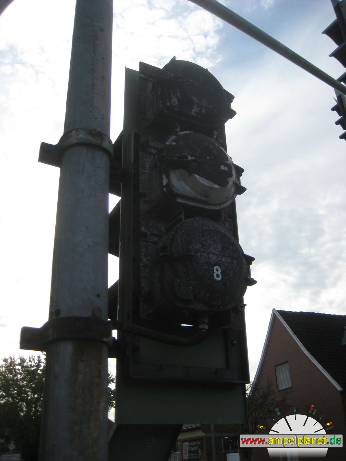
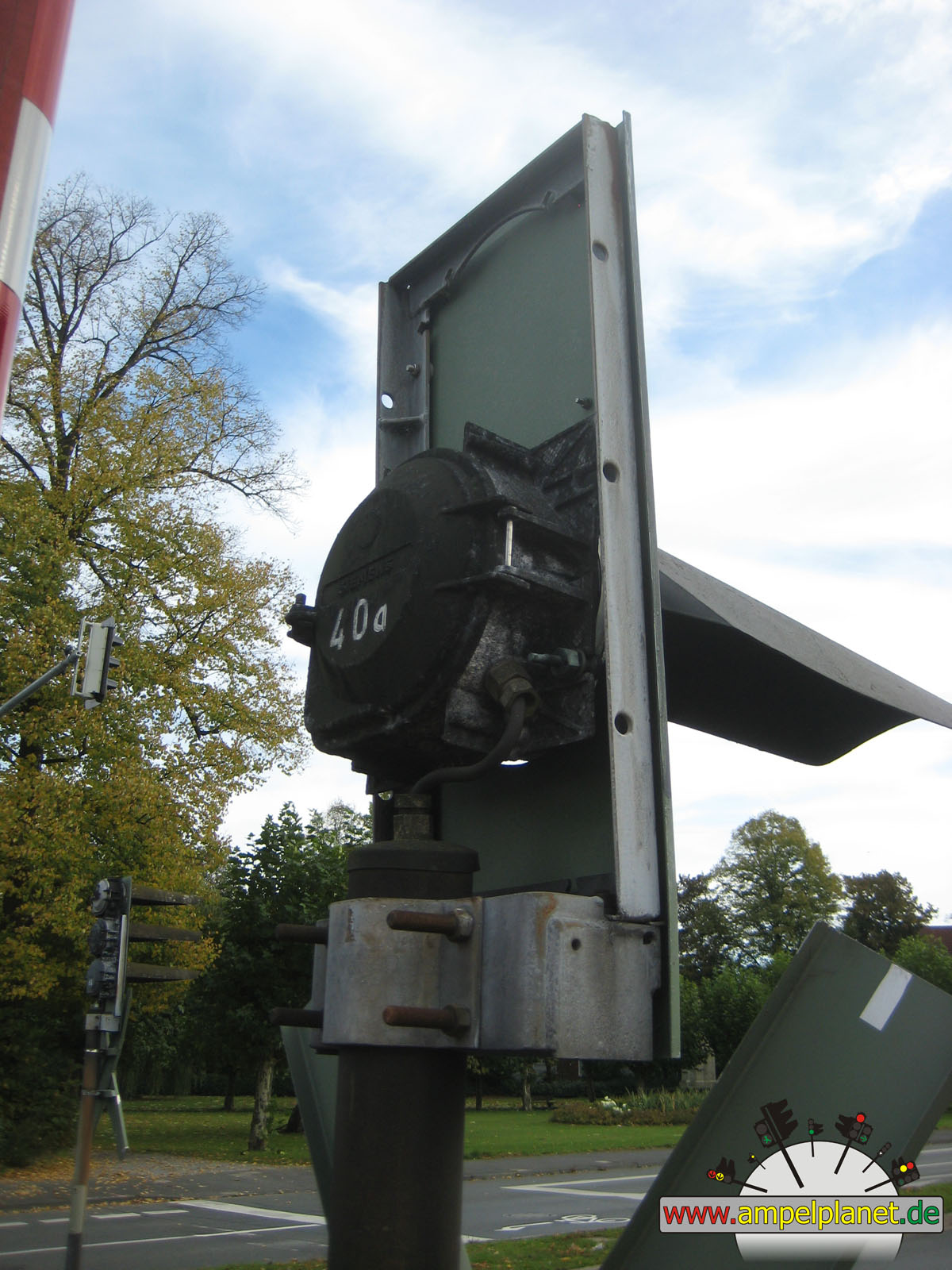
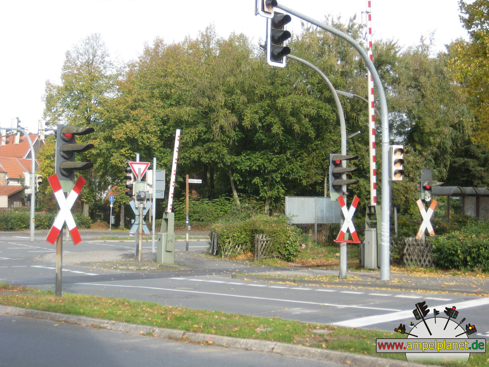
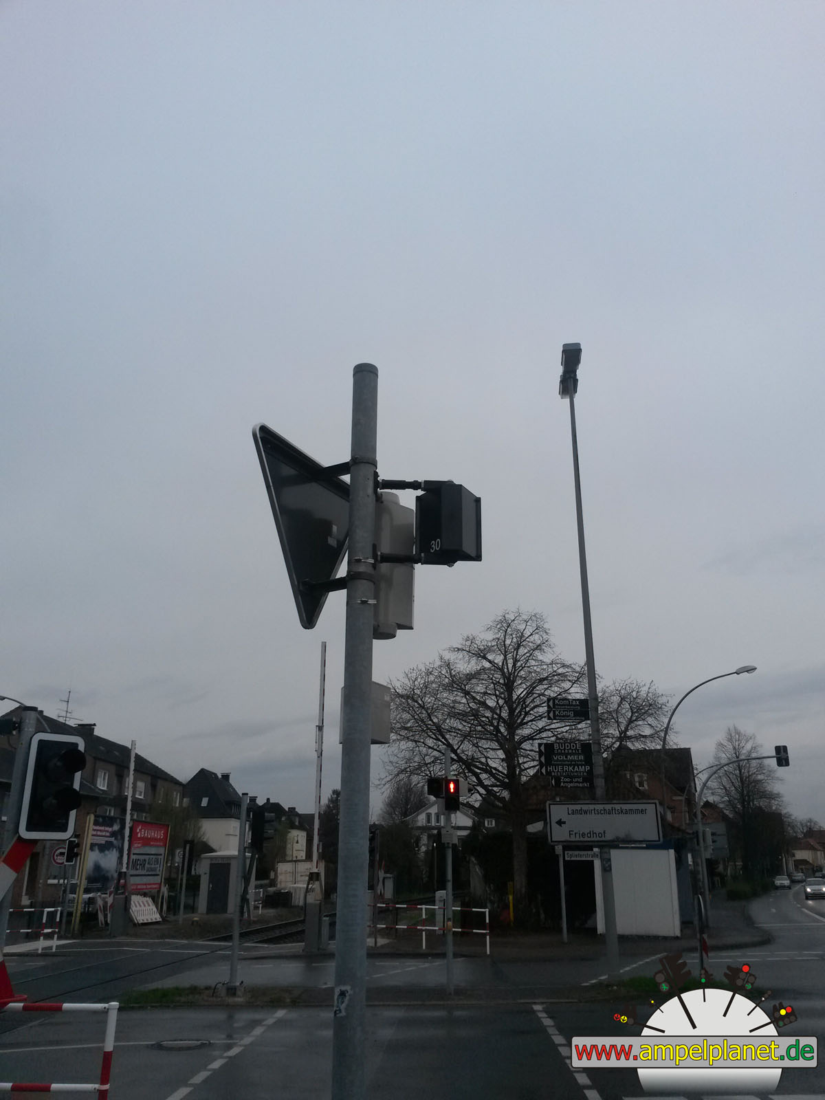
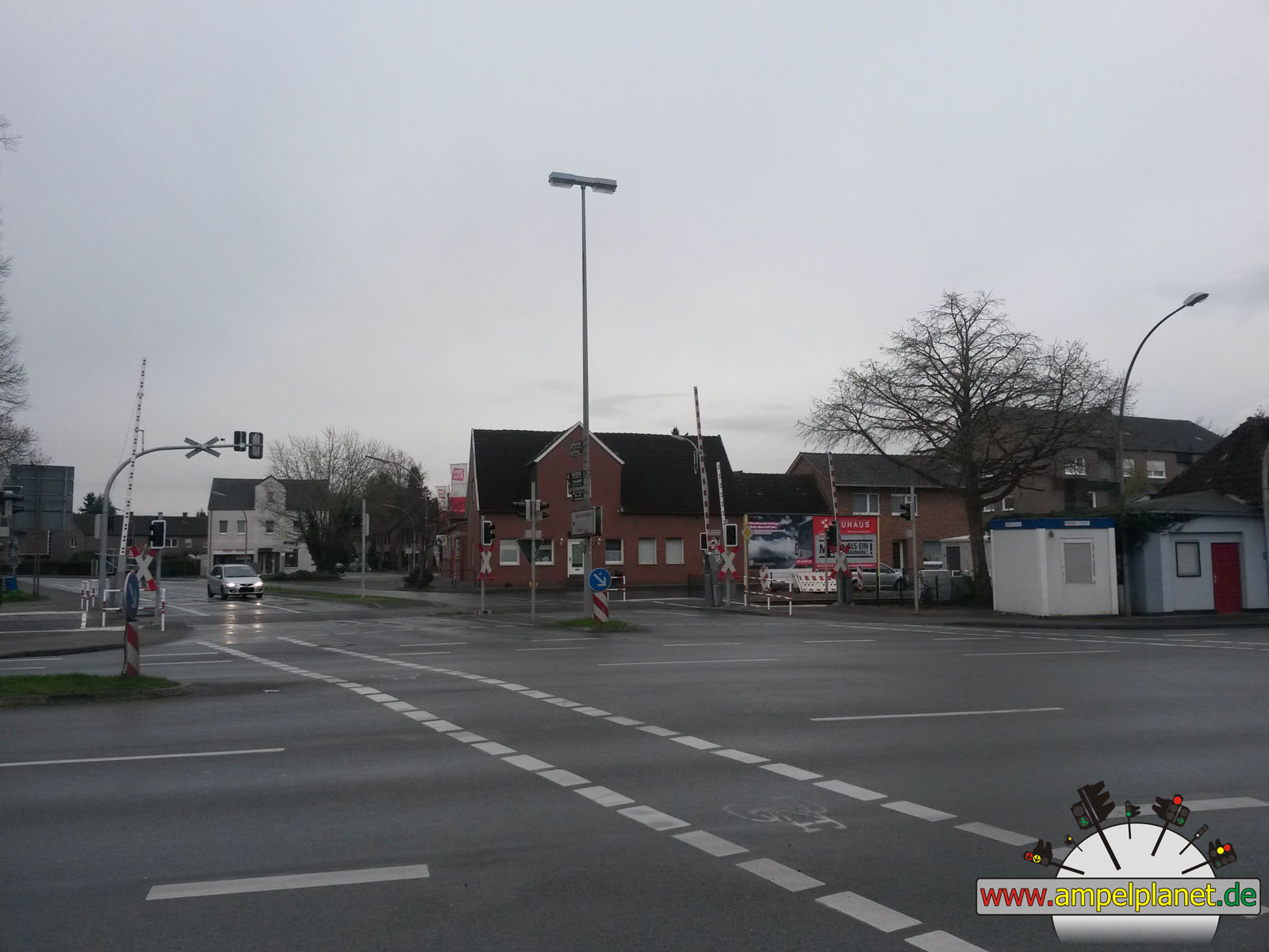
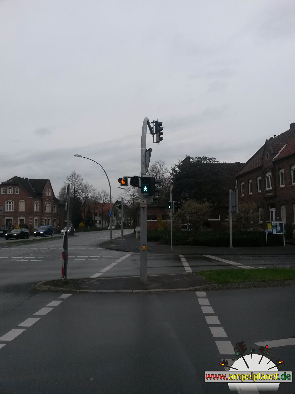
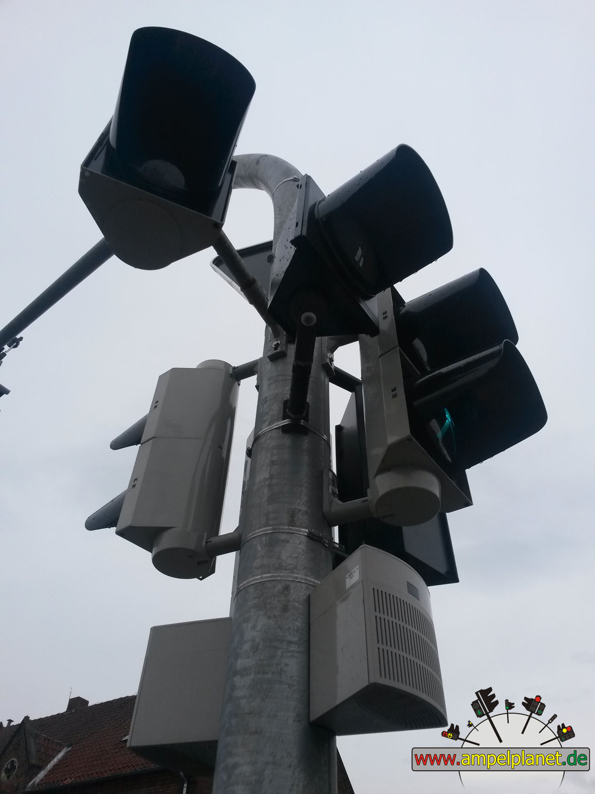
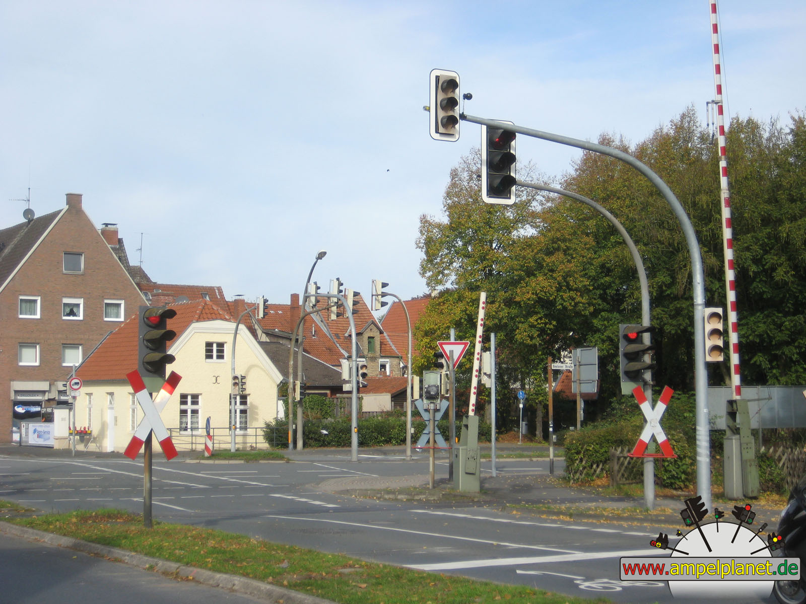
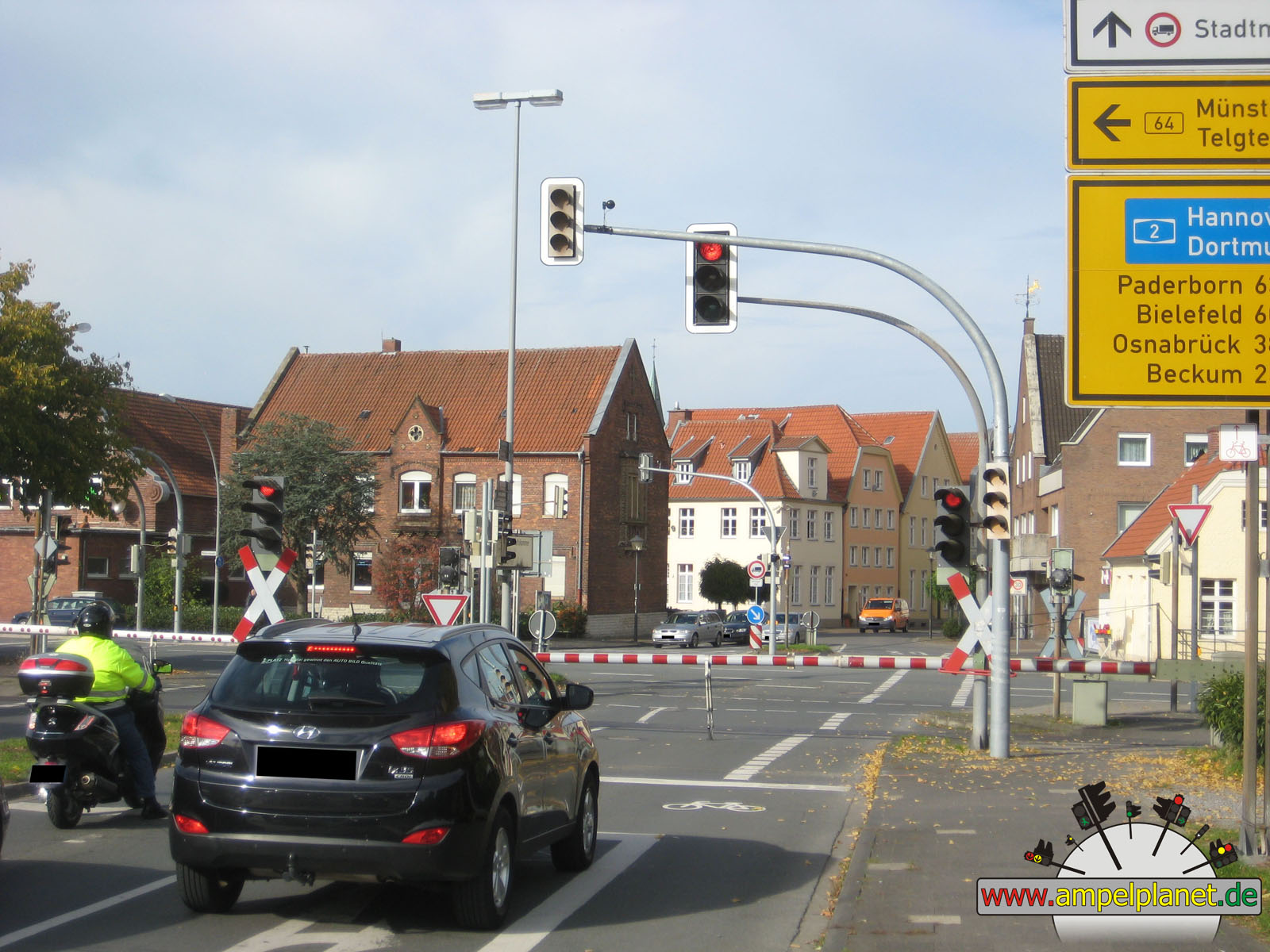
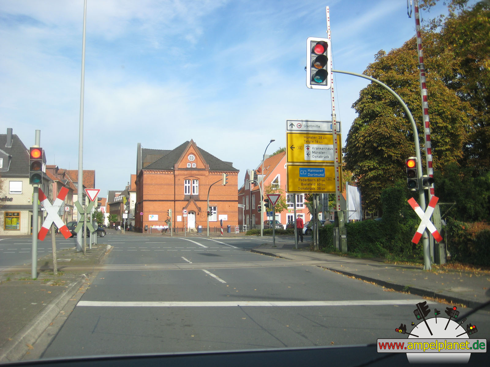
[B64] Beelener Straße / Oststraße / Splieterstraße |
|
[B64] Beelener Straße / Oststraße / Splieterstraße |
|
[B64] Beelener Straße / Oststraße / Splieterstraße |
|
[B64] Beelener Straße / Oststraße / Splieterstraße |
|
|
 |
 |
 |
||||
|
|
[B64] Beelener Straße / Oststraße / Splieterstraße |
|
[B64] Beelener Straße / Oststraße / Splieterstraße |
|
[B64] Beelener Straße / Oststraße / Splieterstraße |
|
[B64] Beelener Straße / Oststraße / Splieterstraße |
|
|
 |
 |
 |
||||
|
|
[B64] Beelener Straße / Oststraße / Splieterstraße |
|
[B64] Beelener Straße / Oststraße / Splieterstraße |
|
[B64] Beelener Straße / Oststraße / Splieterstraße |
|
[B64] Beelener Straße / Oststraße / Splieterstraße |
|
|
 |
 |
 |
||||
|
|
[B64] Beelener Straße / Oststraße / Splieterstraße |
|
[B64] Beelener Straße / Oststraße / Splieterstraße |
|
[B64] Beelener Straße / Oststraße / Splieterstraße |
|
[B64] Beelener Straße / Oststraße / Splieterstraße |
|
|
 |
 |
 |
||||
|
|
[B64] Beelener Straße / Oststraße / Splieterstraße |
|
[B64] Beelener Straße / Oststraße / Splieterstraße |
|
[B64] Beelener Straße / Oststraße / Splieterstraße |
|
[B64] Beelener Straße / Oststraße / Splieterstraße |
|
|
 |
 |
 |
||||
|
|
[B64] Beelener Straße / Oststraße / Splieterstraße |
|
[B64] Beelener Straße / Oststraße / Splieterstraße |
|
[B64] Beelener Straße / Oststraße / Splieterstraße |
|
[B64] Beelener Straße / Oststraße / Splieterstraße |
|
|
|||||||
|
|
[B64] Beelener Straße / Oststraße / Splieterstraße |
||||||
|
|
|
|
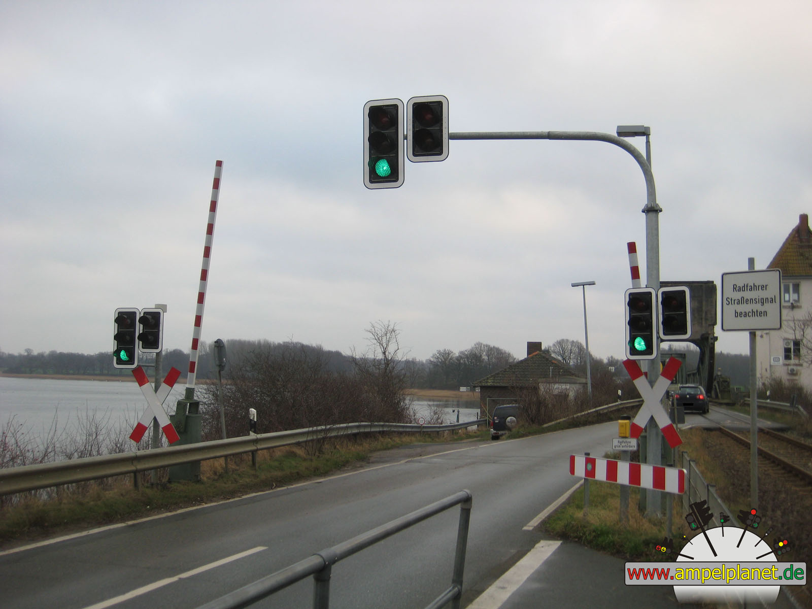
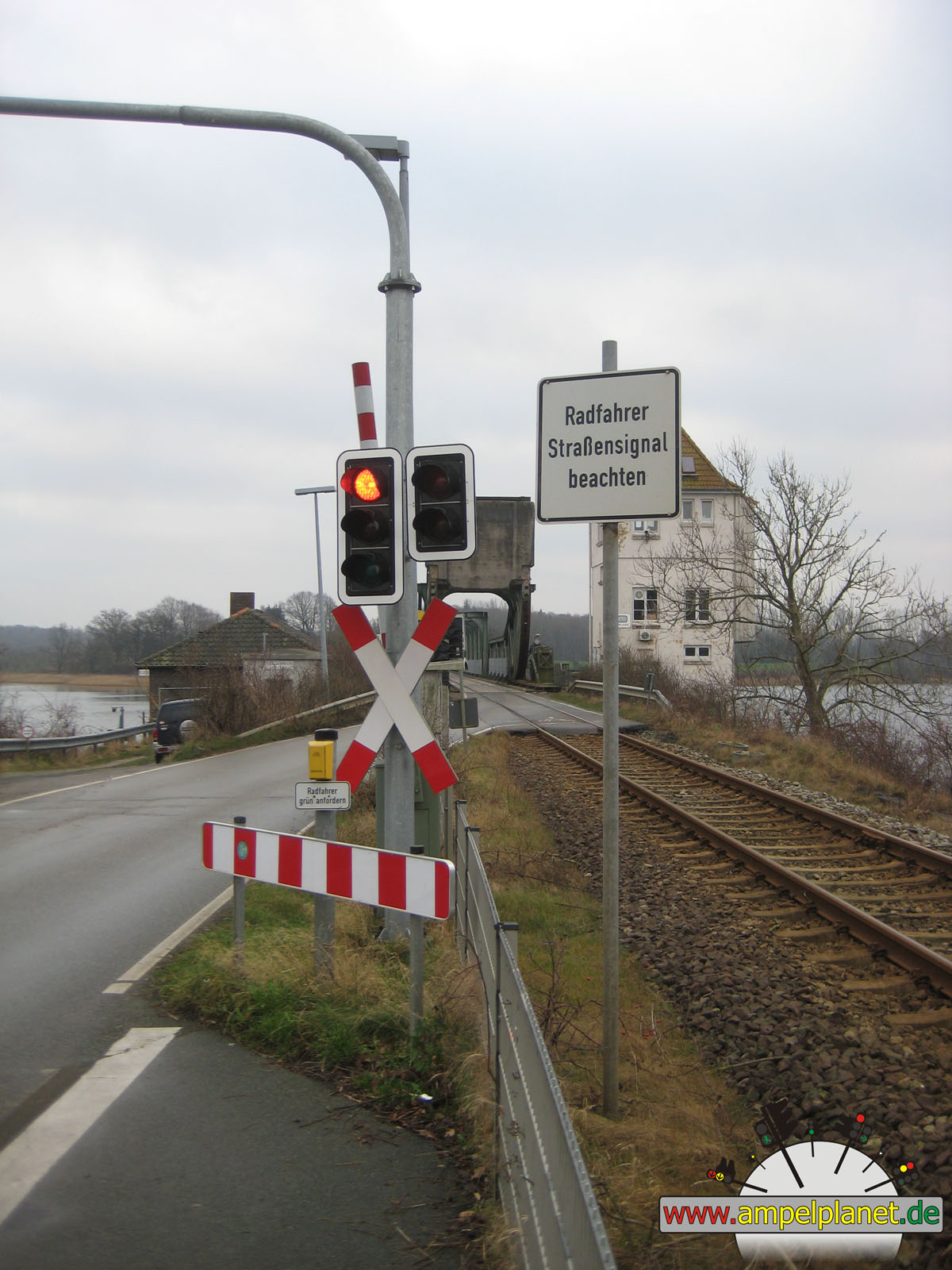
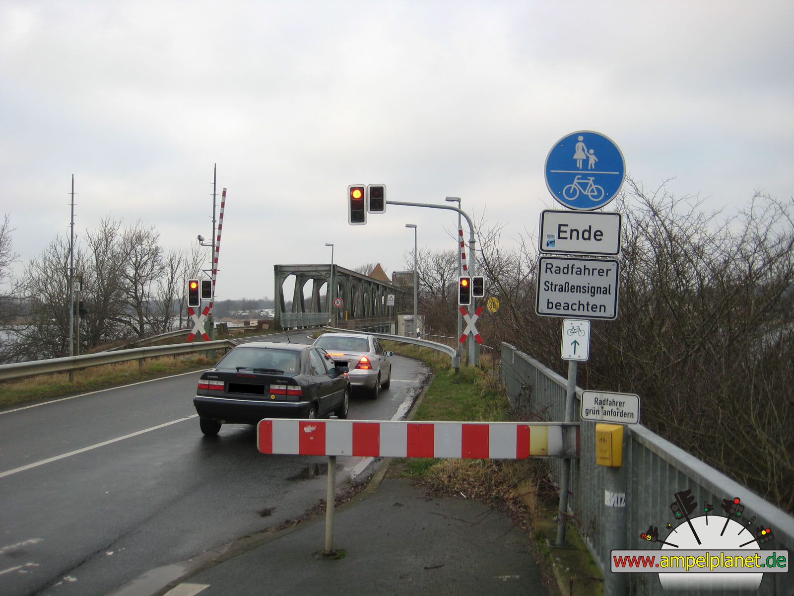
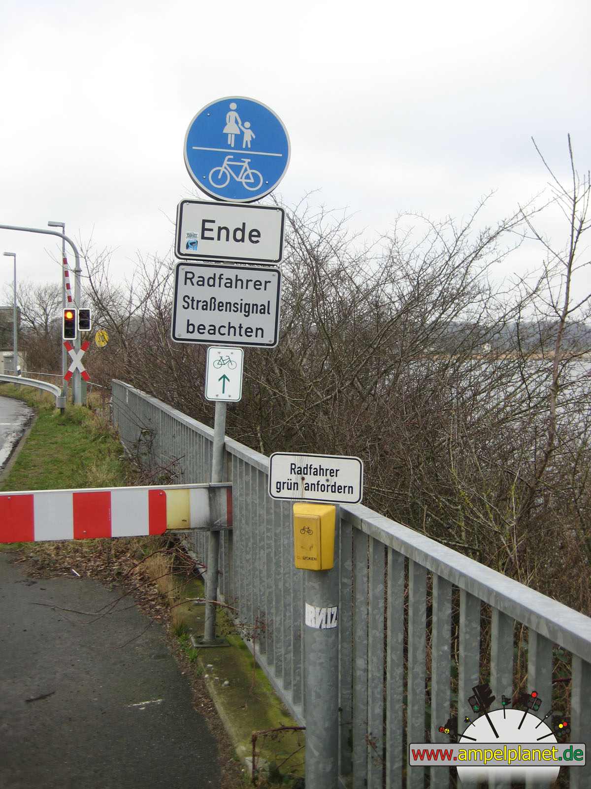
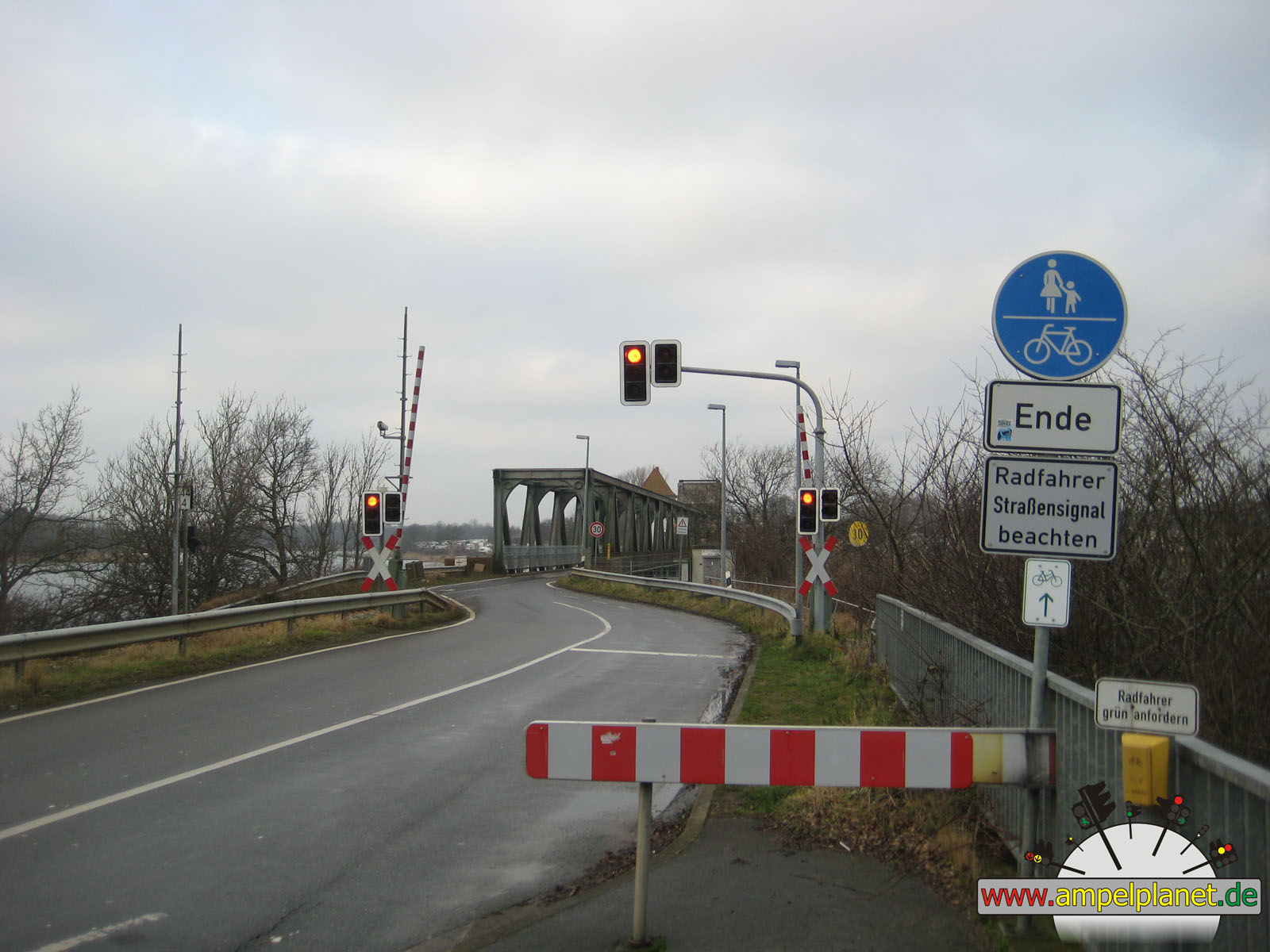
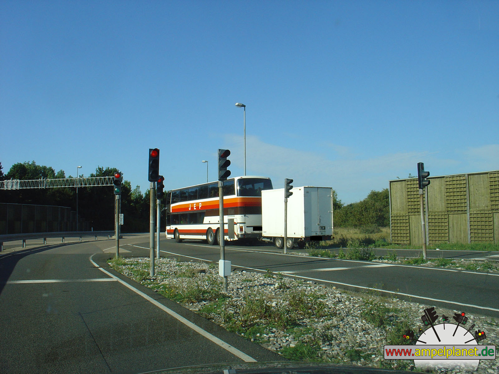
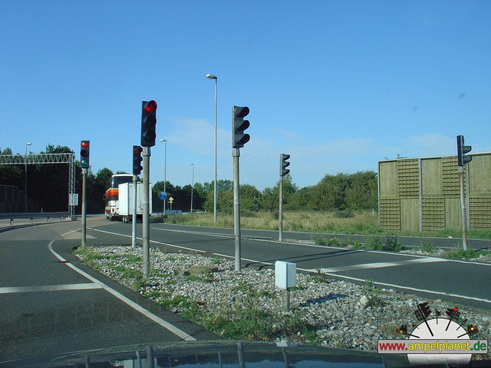
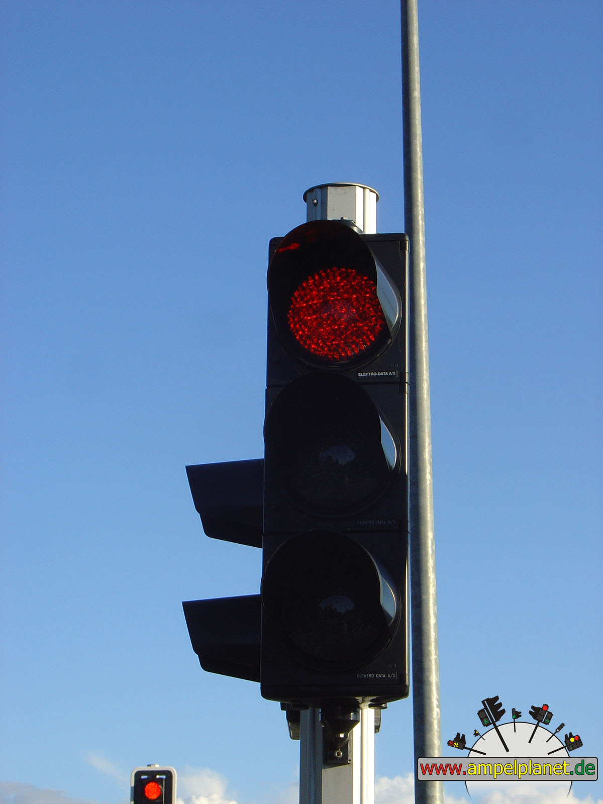
Boren, 01/2014 NEU |
|
|
|
|
|
||||
|
|
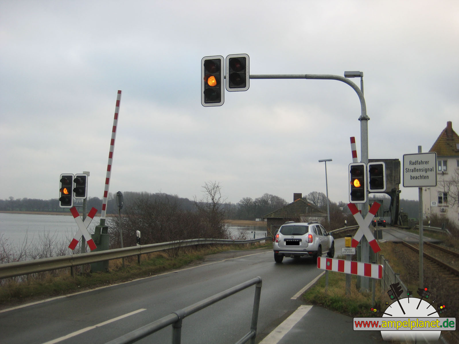
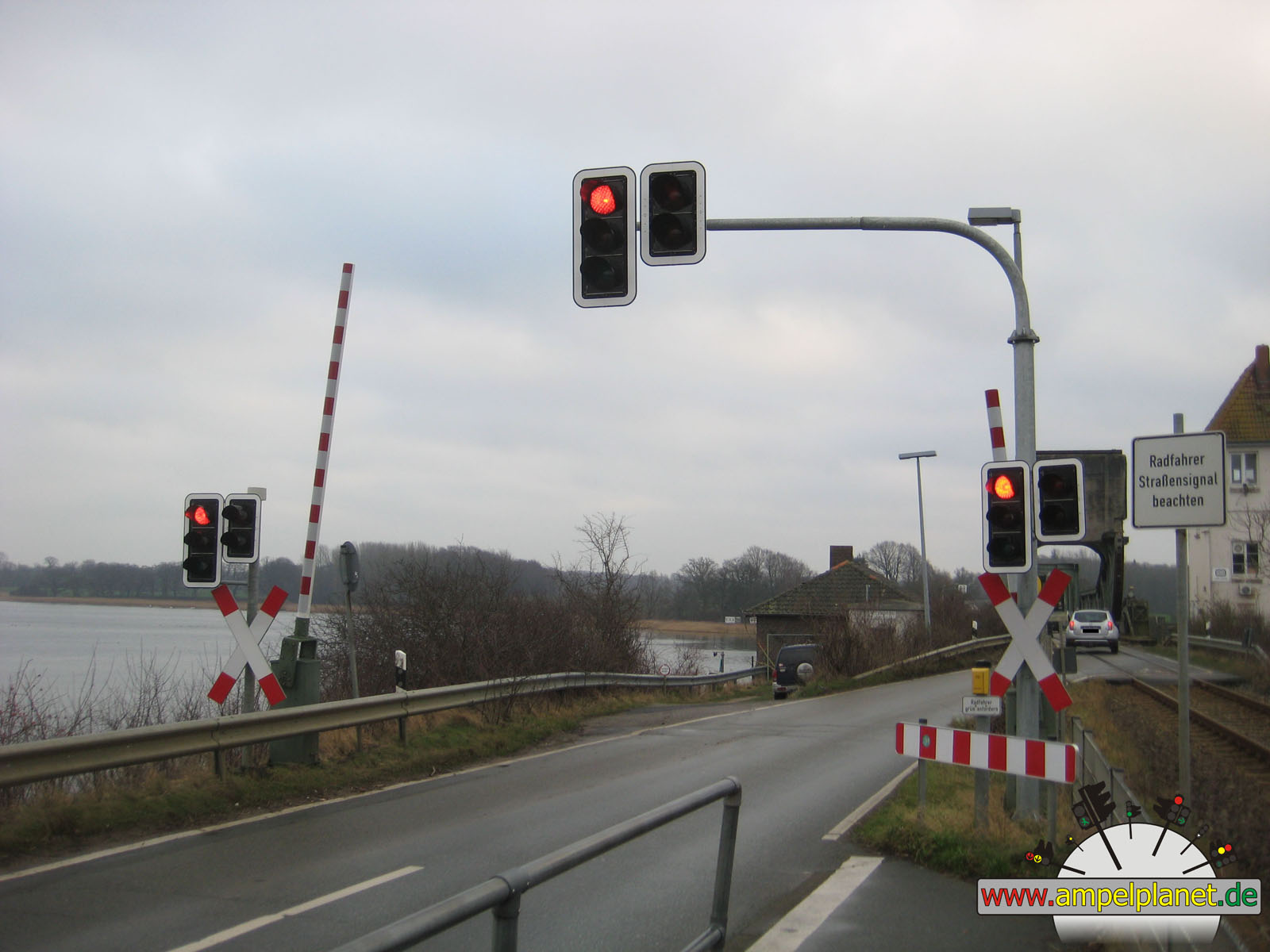
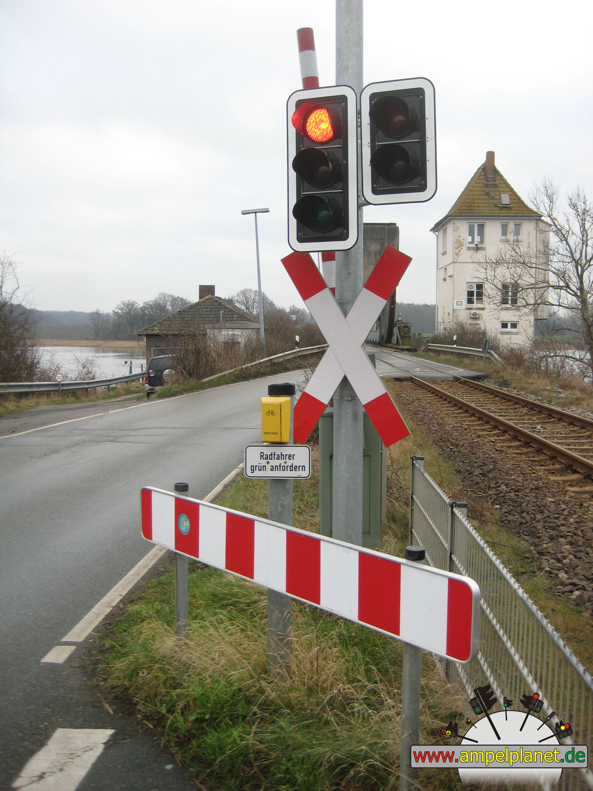
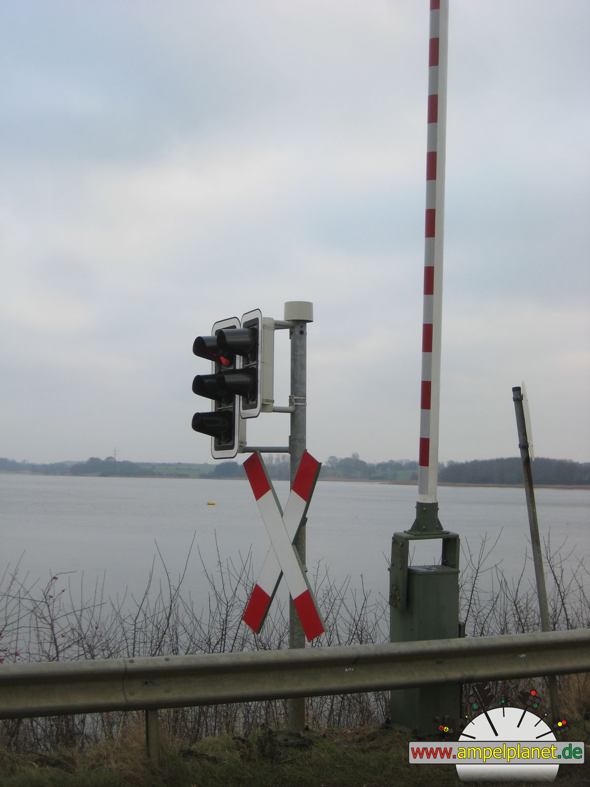
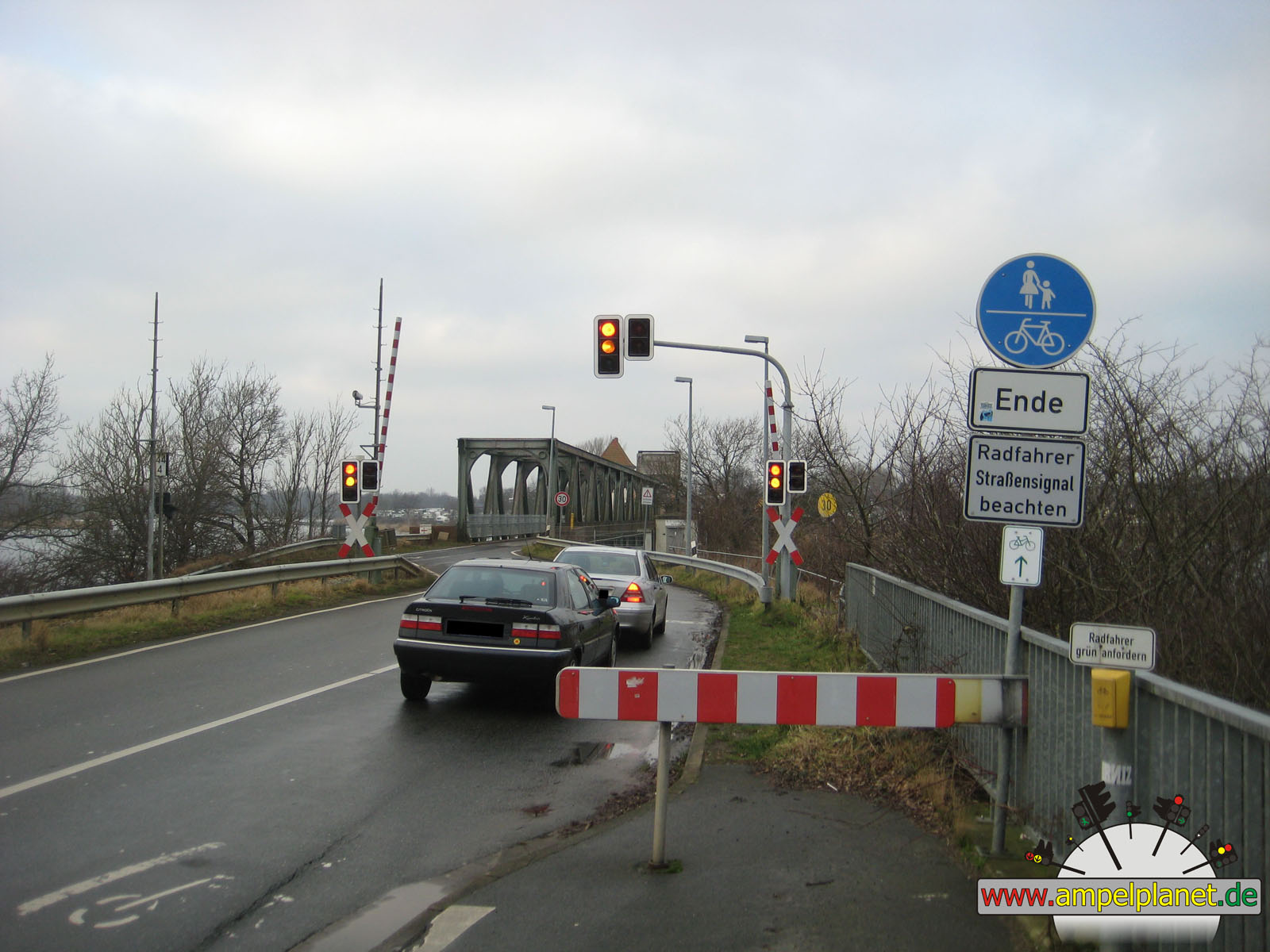
L283 Lindaunisbrücke |
|
L283 Lindaunisbrücke |
|
L283 Lindaunisbrücke |
|
L283 Lindaunisbrücke |
|
|
|
|
|
||||
|
|
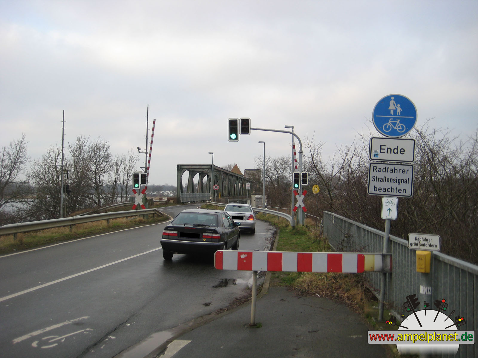
L283 Lindaunisbrücke |
|
L283 Lindaunisbrücke |
|
L283 Lindaunisbrücke |
|
L283 Lindaunisbrücke |
|
|
 |
 |
 |
||||
|
|
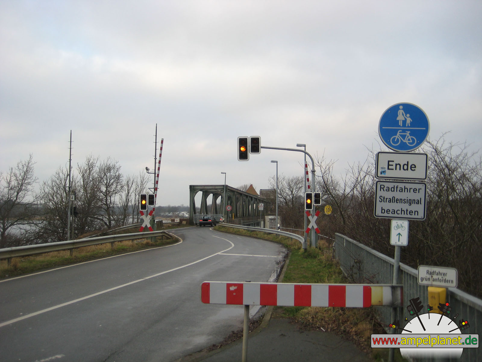
L283 Lindaunisbrücke |
|
L283 Lindaunisbrücke |
|
L283 Lindaunisbrücke |
|
L283 Lindaunisbrücke |
|
|
|||||||
|
|
L283 Lindaunisbrücke |
||||||
|
|
|
|
Schleswig, 12/2013 |
|
|
|
|
|||||
|
|
K63 Königstraße / Plessenstraße |
|
K63 Königstraße / Plessenstraße |
|
K63 Königstraße / Plessenstraße |
||
|
|
|
|
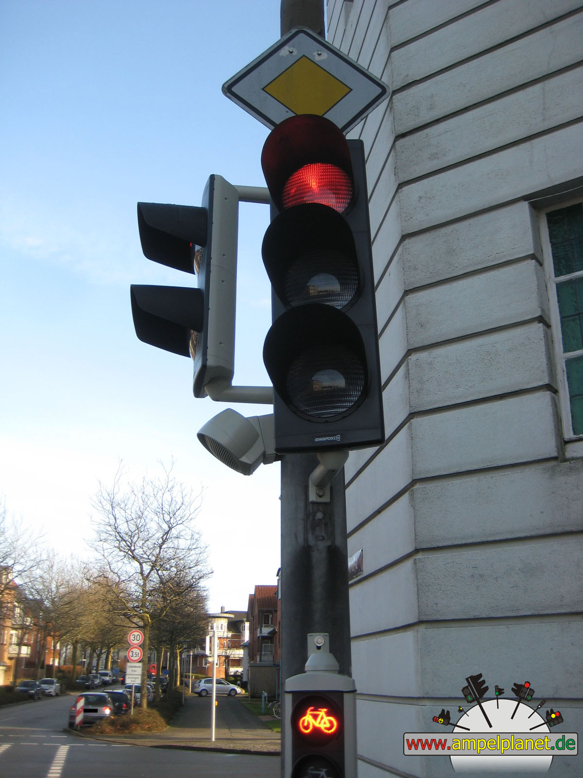
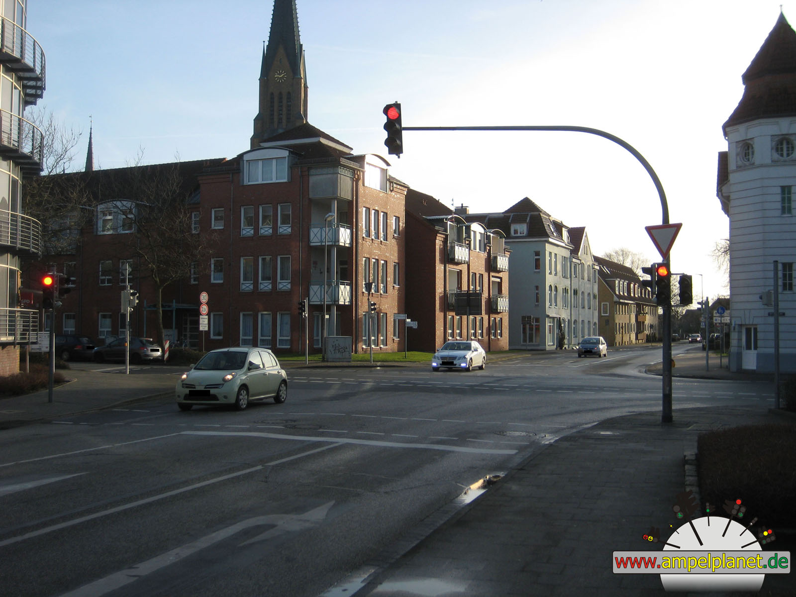
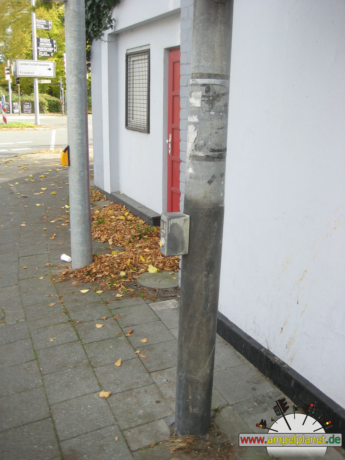
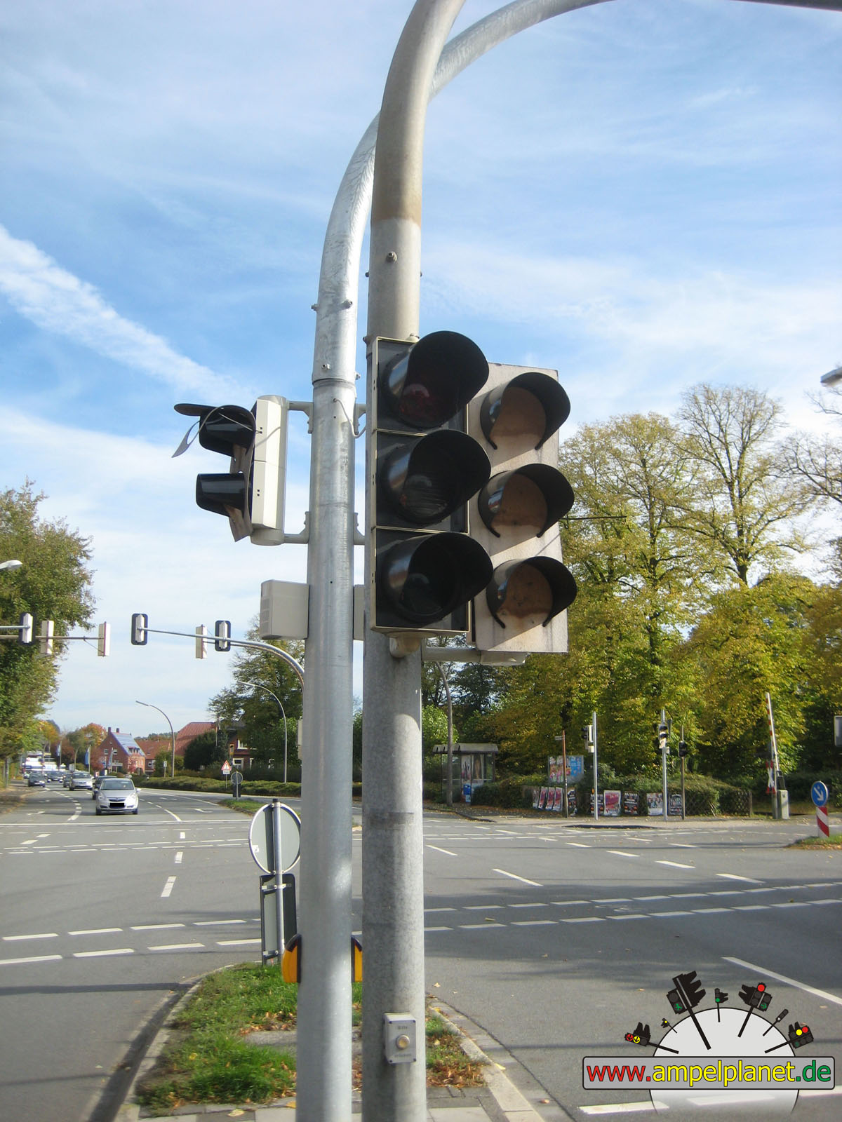
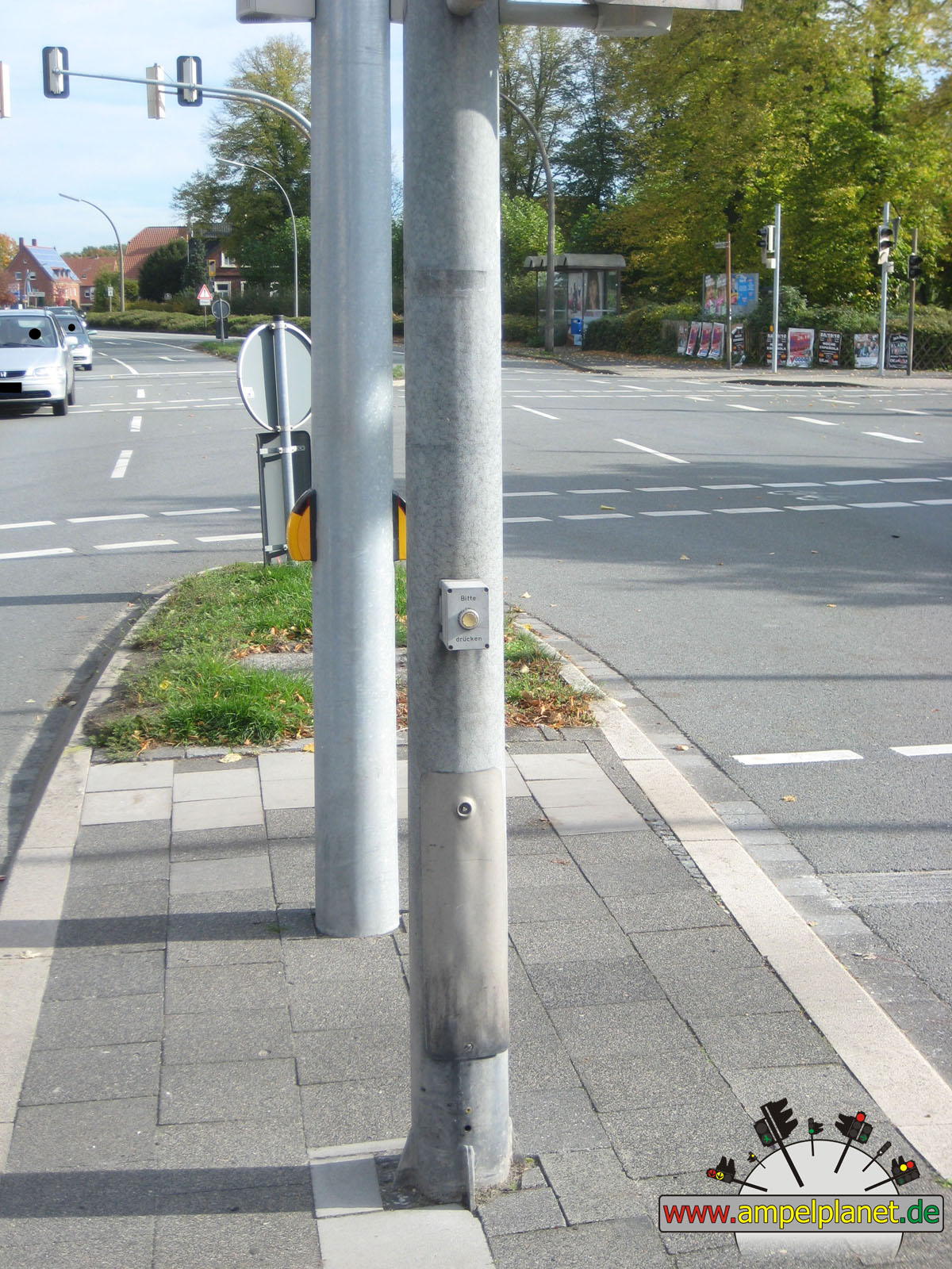
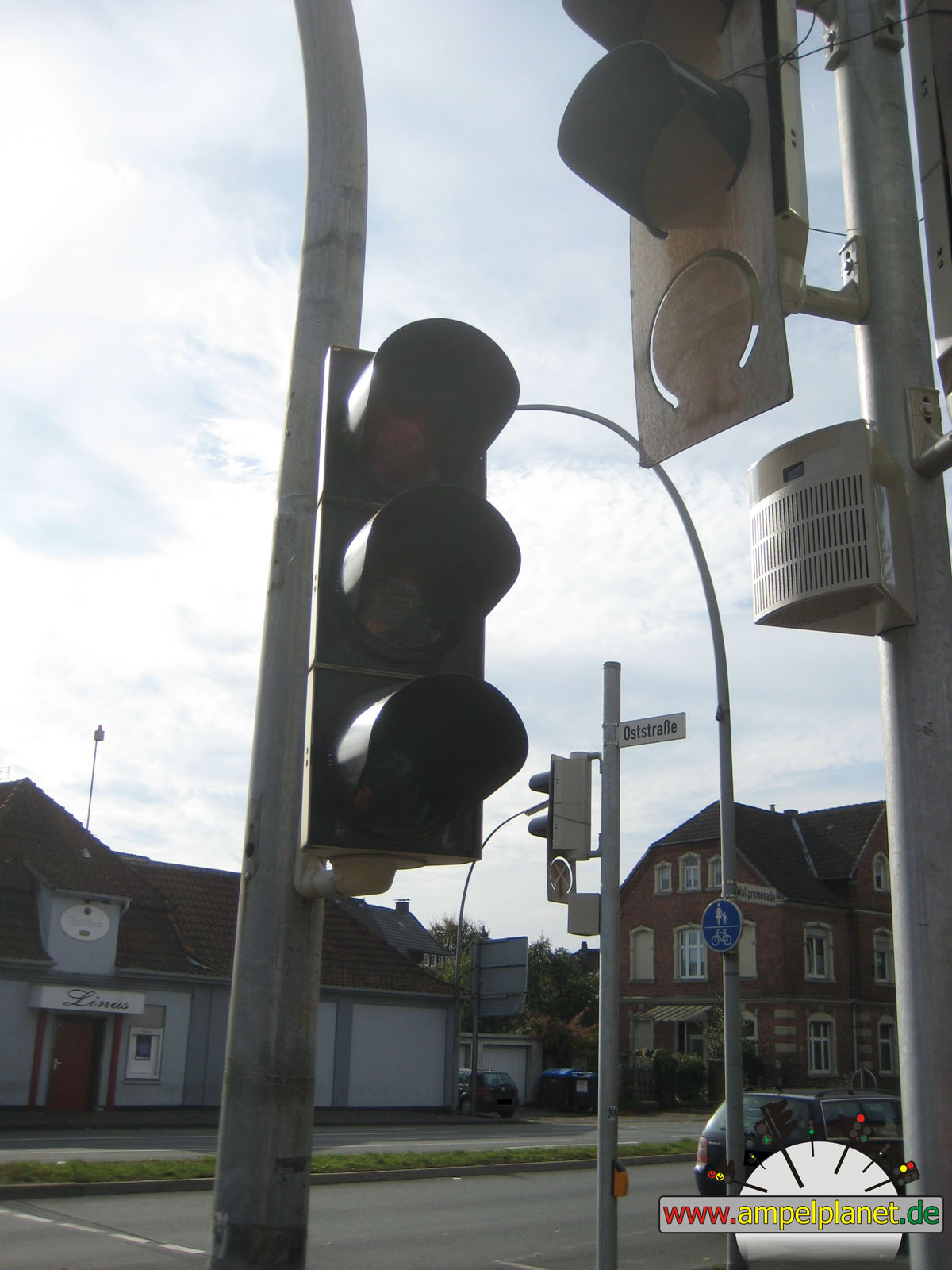
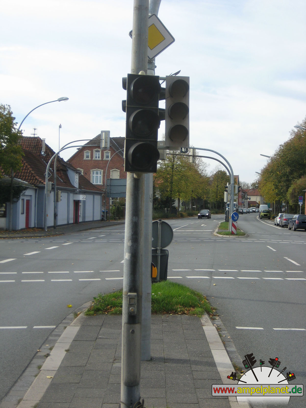
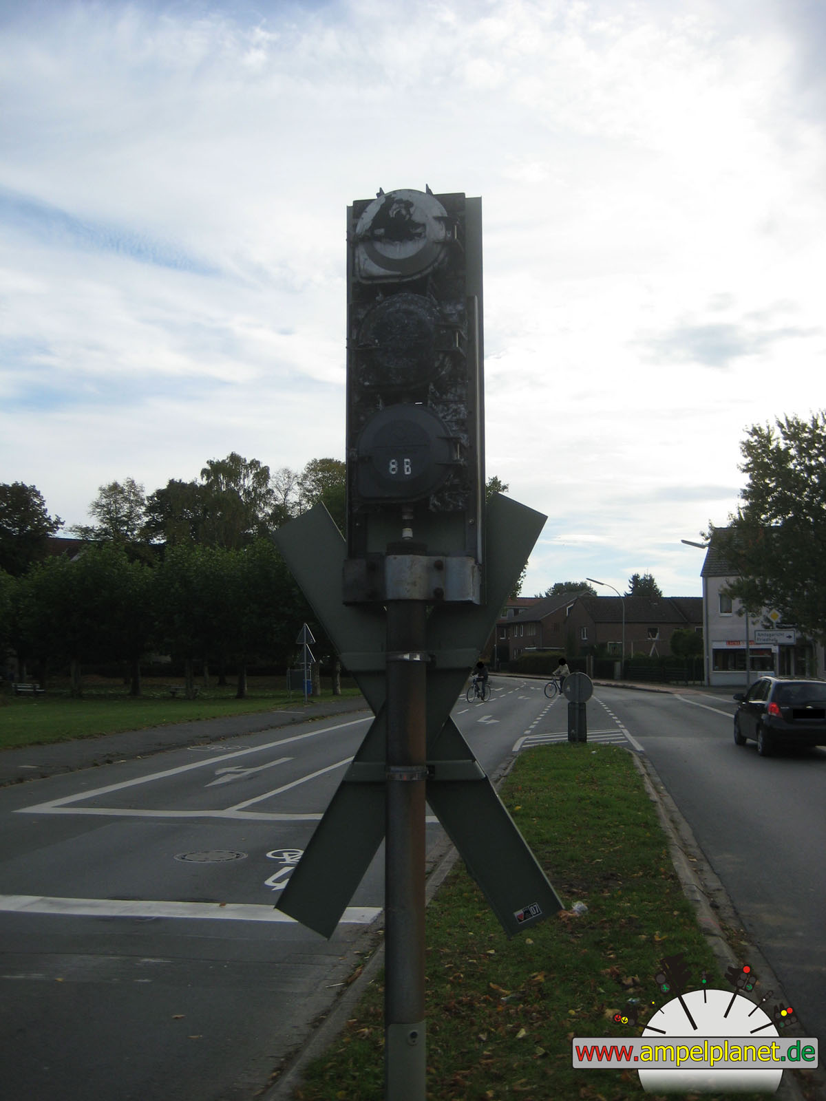
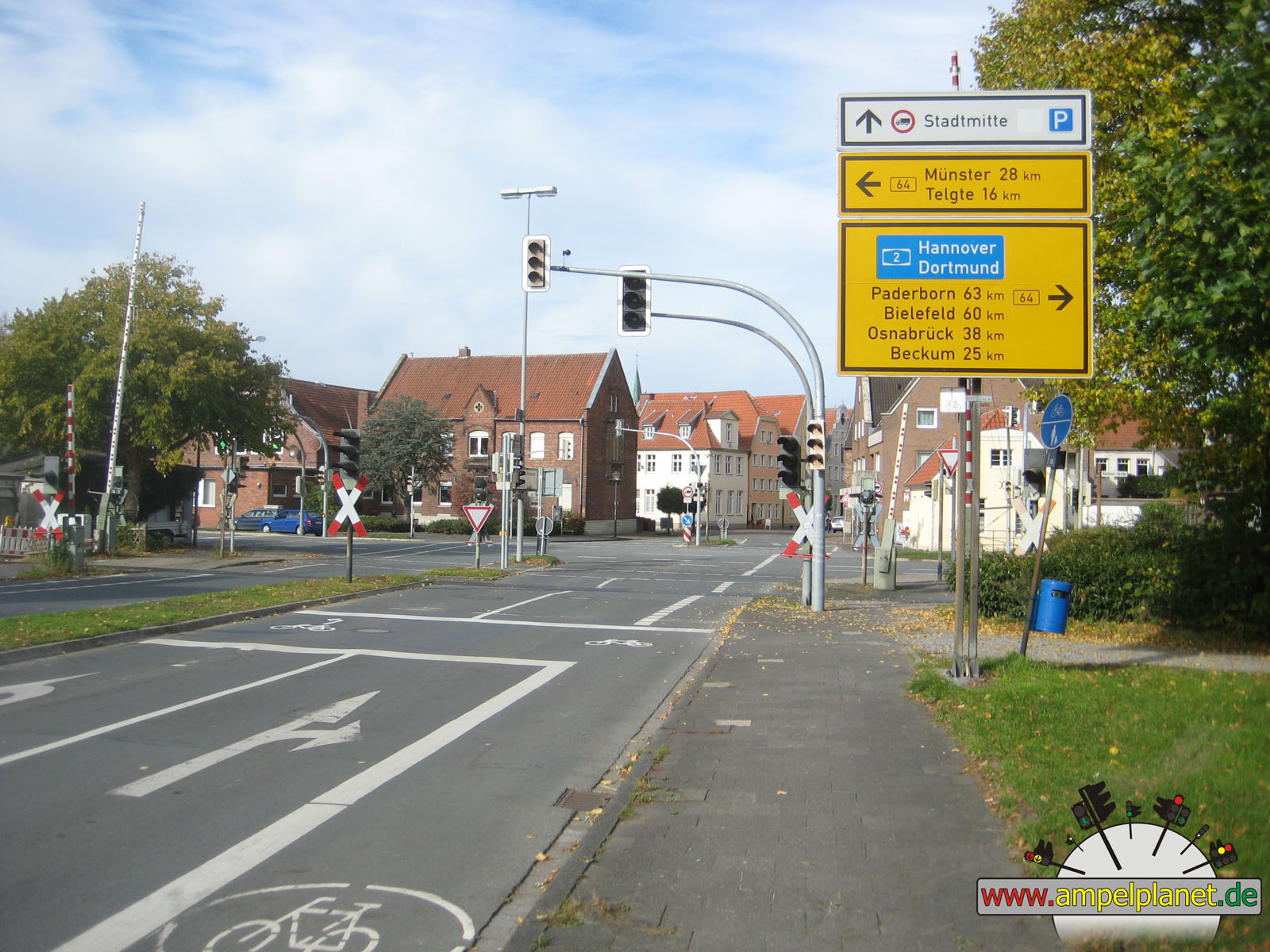
Warendorf, 10/2013 NEU |
|
|
|
|
|
||||
|
|
[B64] Beelener Straße / Oststraße / Splieterstraße |
|
[B64] Beelener Straße / Oststraße / Splieterstraße |
|
[B64] Beelener Straße / Oststraße / Splieterstraße |
|
[B64] Beelener Straße / Oststraße / Splieterstraße |
|
|
 |
 |
 |
||||
|
|
[B64] Beelener Straße / Oststraße / Splieterstraße |
|
[B64] Beelener Straße / Oststraße / Splieterstraße |
|
[B64] Beelener Straße / Oststraße / Splieterstraße |
|
[B64] Beelener Straße / Oststraße / Splieterstraße |
|
|
 |
 |
 |
||||
|
|
[B64] Beelener Straße / Oststraße / Splieterstraße |
|
[B64] Beelener Straße / Oststraße / Splieterstraße |
|
[B64] Beelener Straße / Oststraße / Splieterstraße |
|
[B64] Beelener Straße / Oststraße / Splieterstraße |
|
|
 |
 |
 |
||||
|
|
[B64] Beelener Straße / Oststraße / Splieterstraße |
|
[B64] Beelener Straße / Oststraße / Splieterstraße |
|
[B64] Beelener Straße / Oststraße / Splieterstraße |
|
[B64] Beelener Straße / Oststraße / Splieterstraße |
|
|
 |
 |
 |
||||
|
|
[B64] Beelener Straße / Oststraße / Splieterstraße |
|
[B64] Beelener Straße / Oststraße / Splieterstraße |
|
[B64] Beelener Straße / Oststraße / Splieterstraße |
|
[B64] Beelener Straße / Oststraße / Splieterstraße |
|
|
 |
 |
 |
||||
|
|
[B64] Beelener Straße / Oststraße / Splieterstraße |
|
[B64] Beelener Straße / Oststraße / Splieterstraße |
|
[B64] Beelener Straße / Oststraße / Splieterstraße |
|
[B64] Beelener Straße / Oststraße / Splieterstraße |
|
|
 |
 |
 |
||||
|
|
[B64] Beelener Straße / Oststraße / Splieterstraße |
|
[B64] Beelener Straße / Oststraße / Splieterstraße |
|
[B64] Beelener Straße / Oststraße / Splieterstraße |
|
[B64] Beelener Straße / Oststraße / Splieterstraße |
|
|
 |
 |
 |
||||
|
|
[B64] Beelener Straße / Oststraße / Splieterstraße |
|
[B64] Beelener Straße / Oststraße / Splieterstraße |
|
[B64] Beelener Straße / Oststraße / Splieterstraße |
|
[B64] Beelener Straße / Oststraße / Splieterstraße |
|
|
 |
 |
 |
||||
|
|
[B64] Beelener Straße / Oststraße / Splieterstraße |
|
[B64] Beelener Straße / Oststraße / Splieterstraße |
|
[B64] Beelener Straße / Oststraße / Splieterstraße |
|
[B64] Beelener Straße / Oststraße / Splieterstraße |
|
|
 |
 |
 |
||||
|
|
[B64] Beelener Straße / Oststraße / Splieterstraße |
|
[B64] Beelener Straße / Oststraße / Splieterstraße |
|
[B64] Beelener Straße / Oststraße / Splieterstraße |
|
[B64] Beelener Straße / Oststraße / Splieterstraße |
|
|
 |
 |
 |
||||
|
|
[B64] Beelener Straße / Oststraße / Splieterstraße |
|
[B64] Beelener Straße / Oststraße / Splieterstraße |
|
[B64] Beelener Straße / Oststraße / Splieterstraße |
|
[B64] August-Wessing-Damm / L547 Freckenhorster Straße |
|
|
|
|
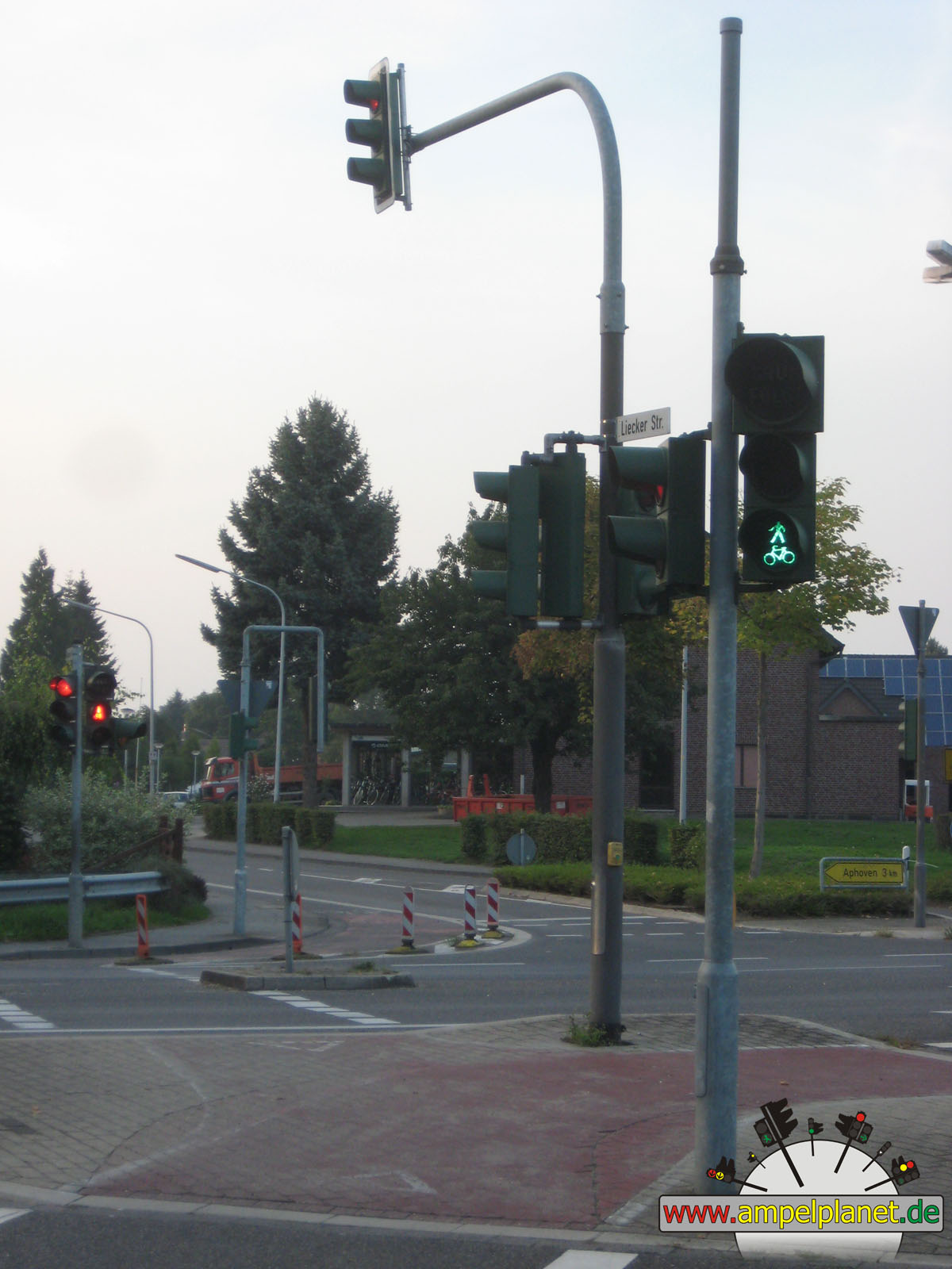
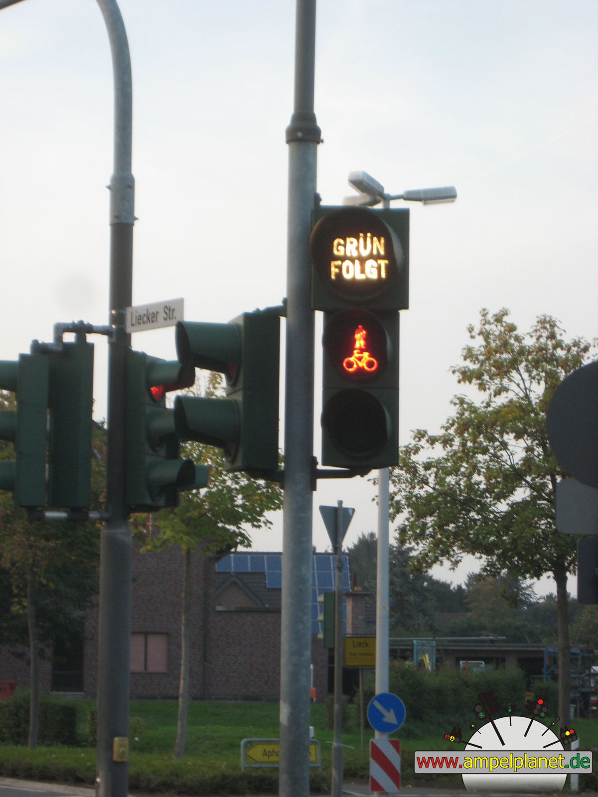
Heinsberg, 09/2013 |
|
|
|
|
|
||||
|
|
K5 Westtangente / Liecker Straße / Liecker Mühle |
|
K5 Westtangente / Liecker Straße / Liecker Mühle |
|
K5 Westtangente / Liecker Straße / Liecker Mühle |
|
K5 Westtangente / Liecker Straße / Liecker Mühle |
|
|
 |
||||||
|
|
K5 Westtangente / Liecker Straße / Liecker Mühle |
|
K5 Westtangente / Liecker Straße / Liecker Mühle |
||||
|
|
|
|
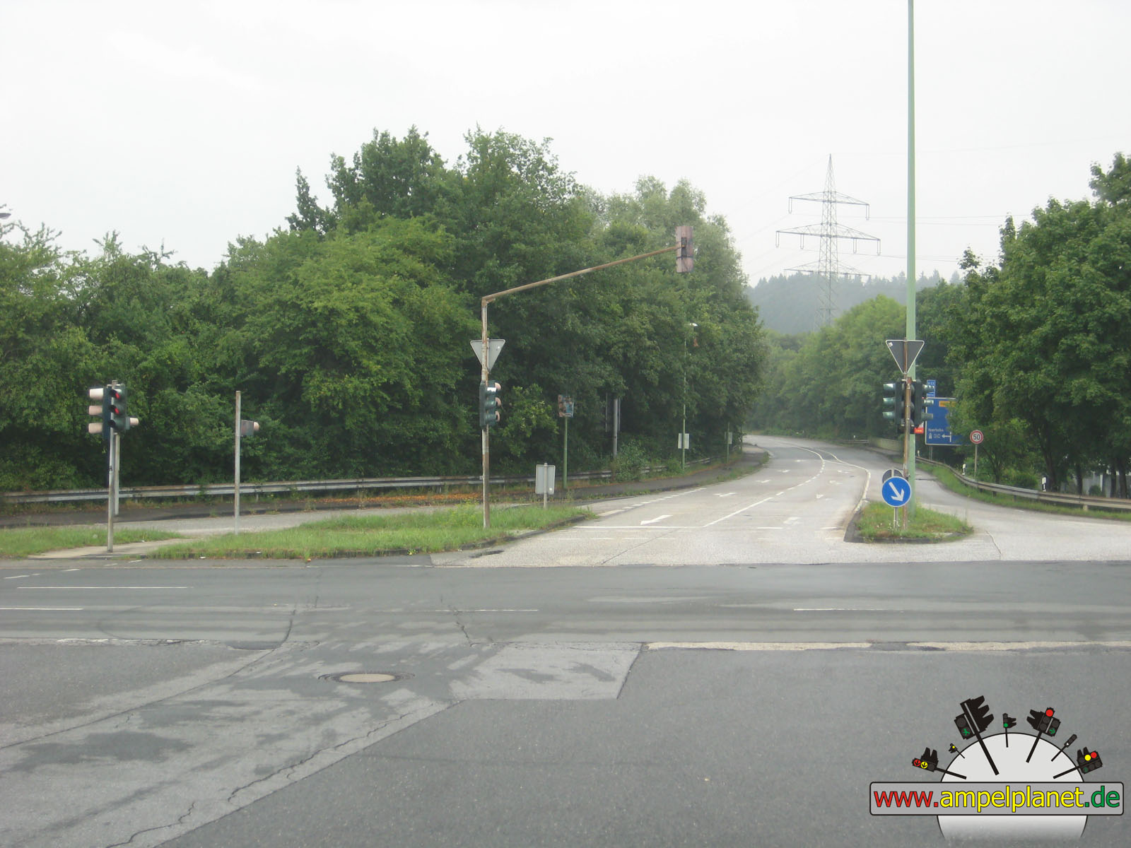
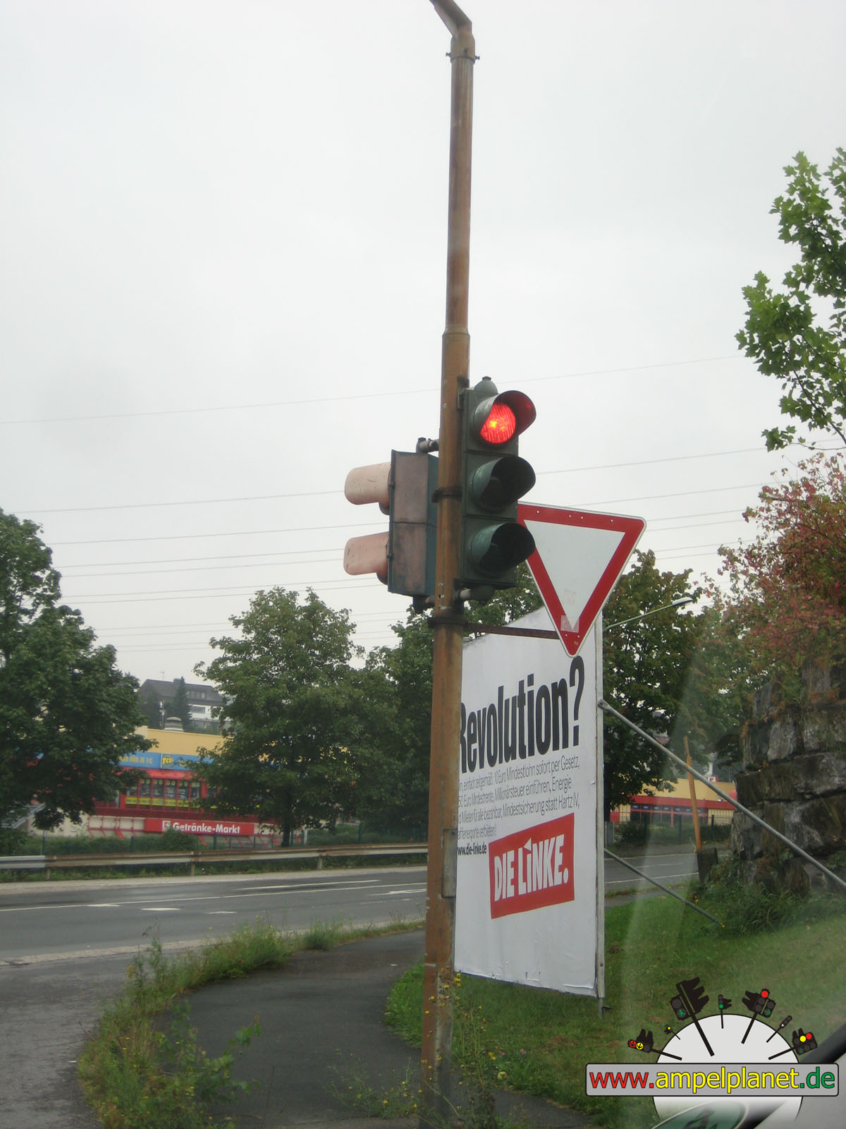
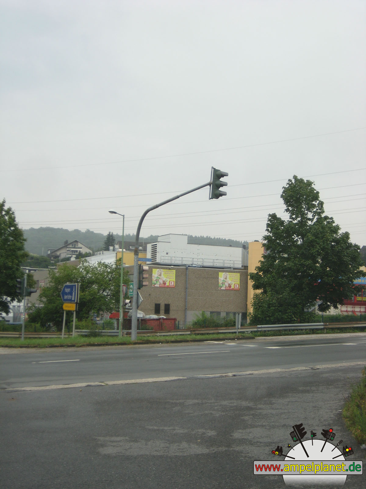
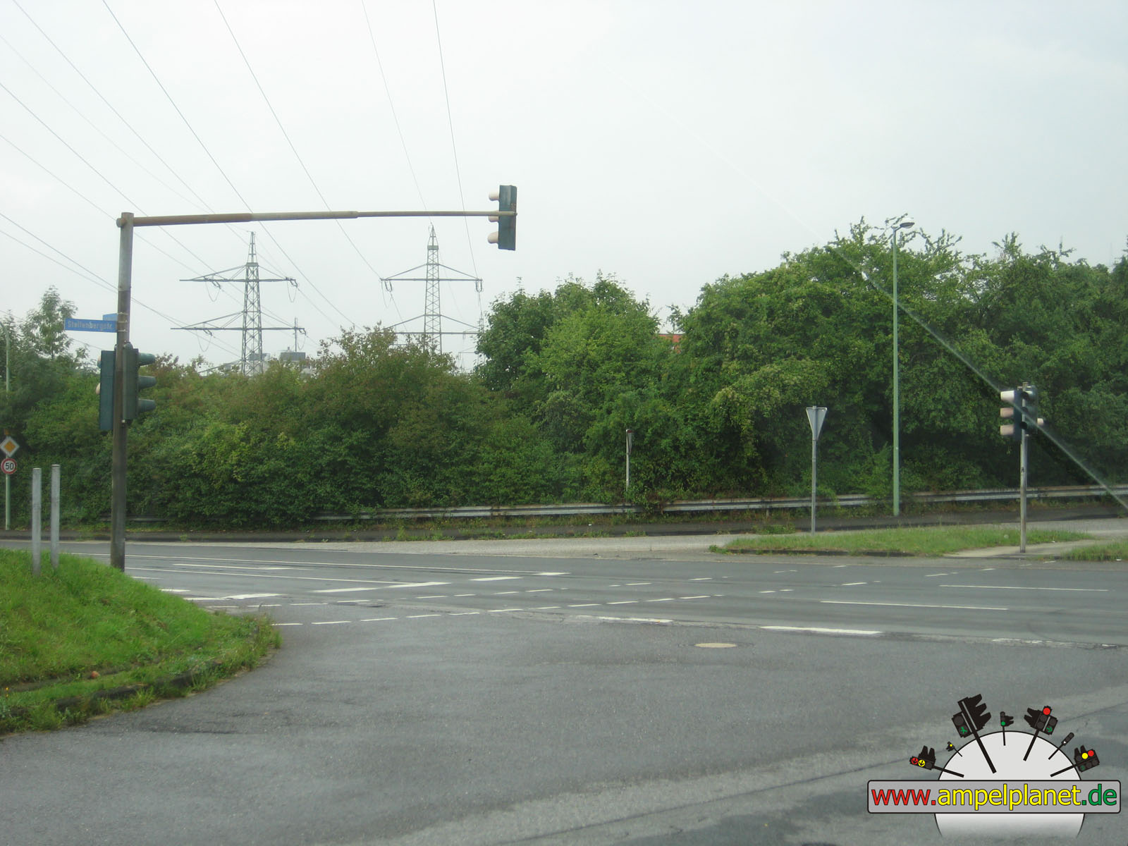
Hagen, 08/2013 |
|
|
|
|
|
||||
|
|
[B7] Steltenbergstraße / L743 Iserlohner Straße |
|
[B7] Steltenbergstraße / L743 Iserlohner Straße |
|
[B7] Steltenbergstraße / L743 Iserlohner Straße |
|
[B7] Steltenbergstraße / L743 Iserlohner Straße |
|
|
|||||||
|
|
[B7] Steltenbergstraße / L743 Iserlohner Straße |
||||||
|
|
|
|
Hückeswagen, 12/2012 |
|
|
|
|
|
||||
|
|
[B237] Bahnhofstraße / [B237] Peterstraße / An der Wupperniederung / Goethestraße |
|
[B237] Bahnhofstraße / [B237] Peterstraße / An der Wupperniederung / Goethestraße |
|
[B237] Bahnhofstraße / [B237] Peterstraße / An der Wupperniederung / Goethestraße |
|
[B237] Bahnhofstraße / [B237] Peterstraße / An der Wupperniederung / Goethestraße |
|
|
 |
 |
 |
||||
|
|
[B237] Bahnhofstraße / [B237] Peterstraße / An der Wupperniederung / Goethestraße |
|
[B237] Bahnhofstraße / [B237] Peterstraße / An der Wupperniederung / Goethestraße |
|
[B237] Bahnhofstraße / [B237] Peterstraße / An der Wupperniederung / Goethestraße |
|
[B237] Bahnhofstraße / [B237] Peterstraße / An der Wupperniederung / Goethestraße |
|
|
|
|
Lage, 08/2012 |
|
|
|
|
|||||
|
|
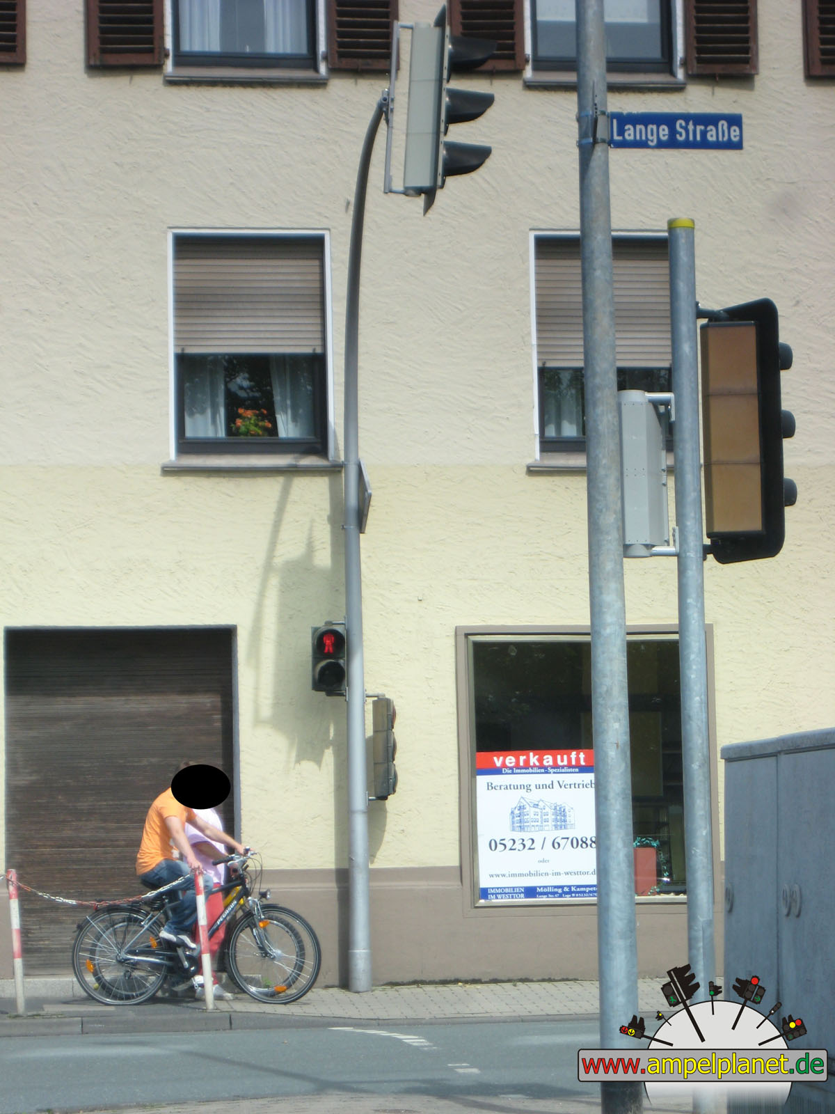
[B66] Lange Straße / In der Bülte |
|
[B66] Lange Straße / In der Bülte |
|
[B66] Lange Straße / In der Bülte |
||
|
|
|
|
Bielefeld, 08/2012 |
|
|
|||||||
|
|
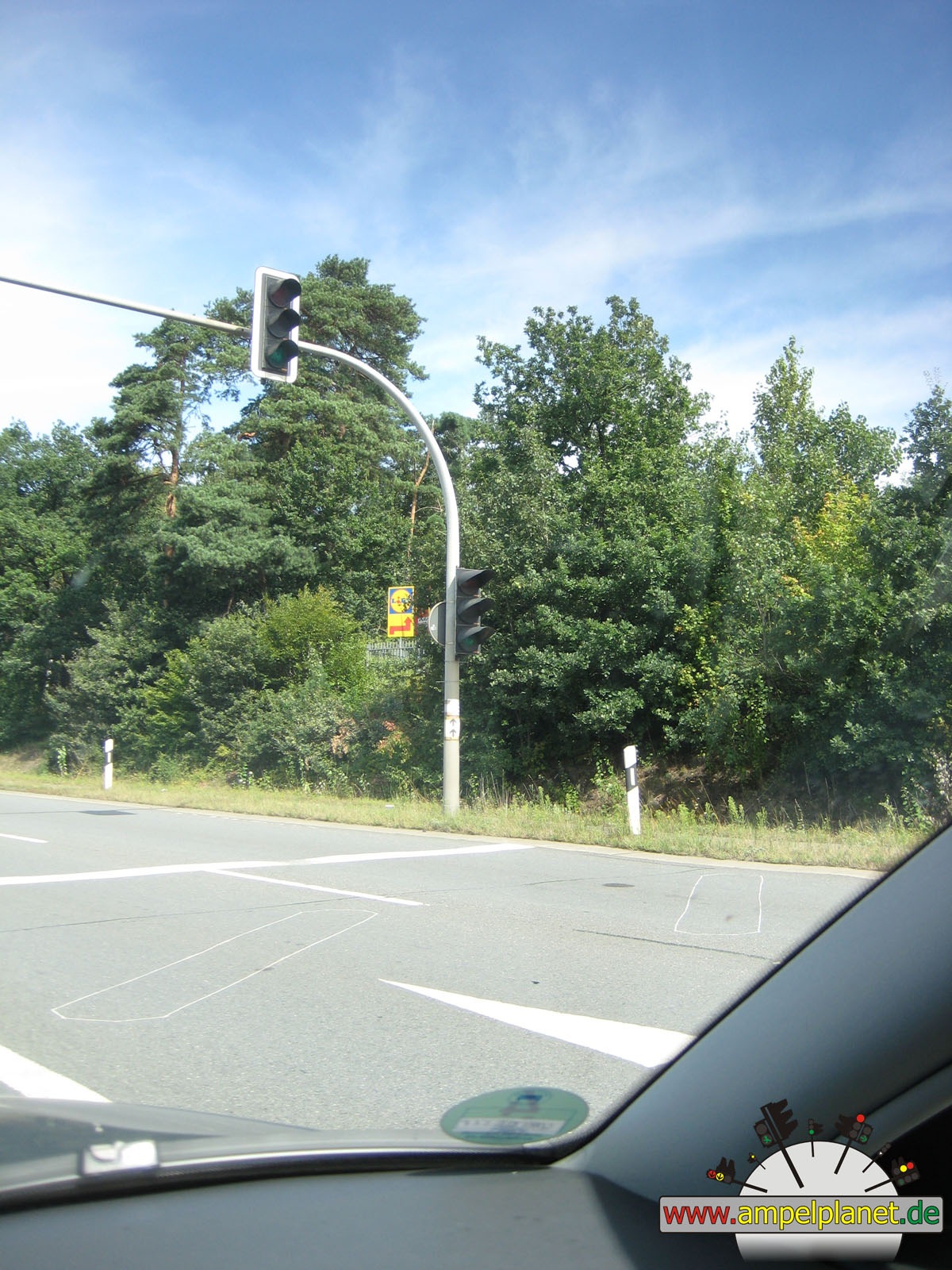
[B68] Paderborner Straße / [A2] AS 26 Bielefeld-Süd |
||||||
|
|
|
|
Obertshausen, 07/2012 |
|
|
|
|
|||||
|
|
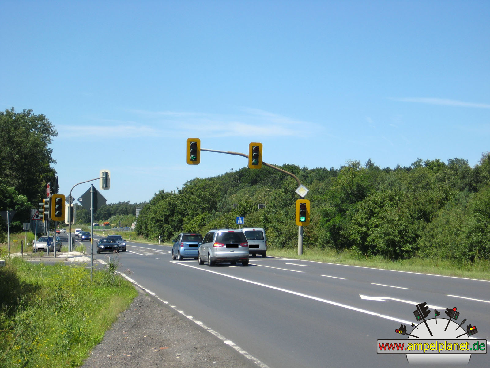
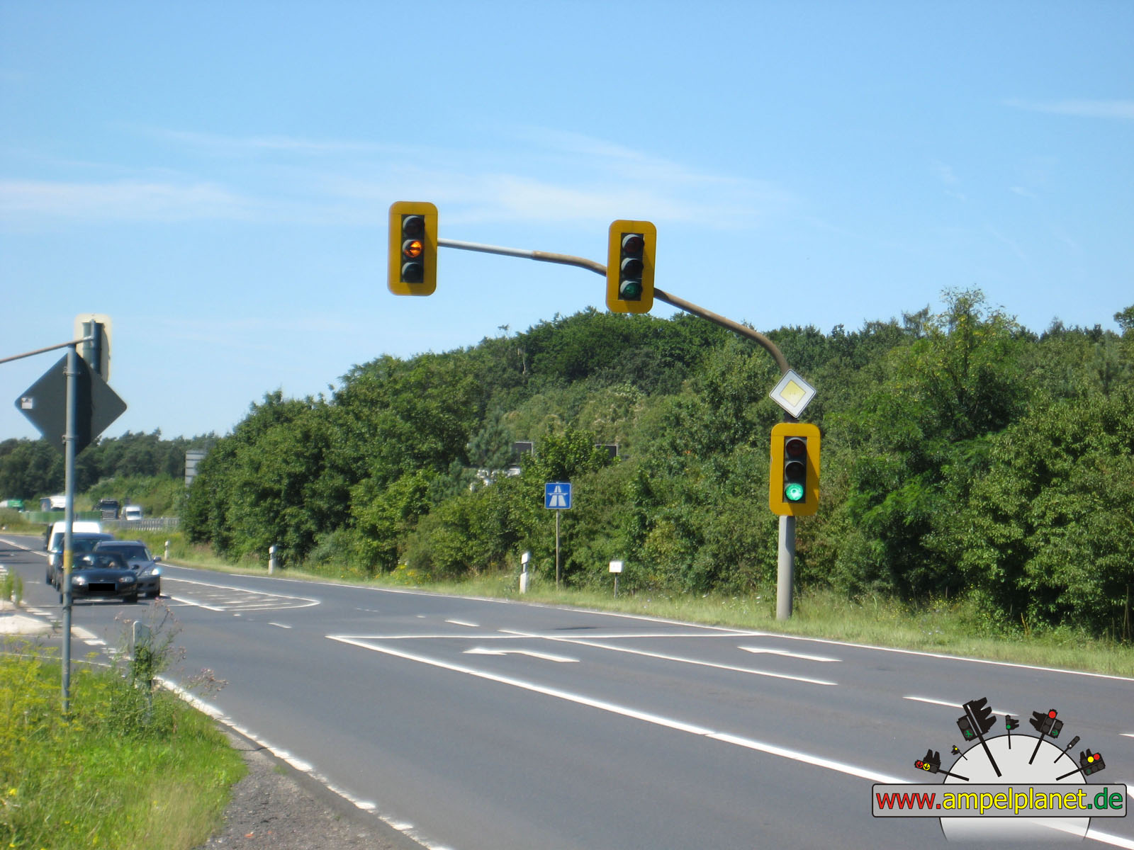
[A3] AS 53 Obertshausen / L3117 Heusenstammer Straße |
|
[A3] AS 53 Obertshausen / L3117 Heusenstammer Straße |
|
[A3] AS 53 Obertshausen / L3117 Heusenstammer Straße |
||
|
|
|
|
Remscheid, 05/2012 |
|
|
|||||||
|
|
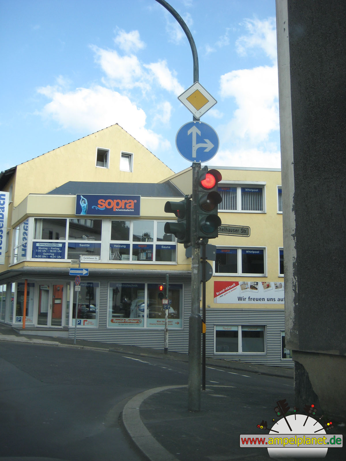
[B229] Freiheitstraße / Stachelhauser Straße |
||||||
|
|
|
|
Viersen, 05/2012 |
|
|
|
|
|
||||
|
|
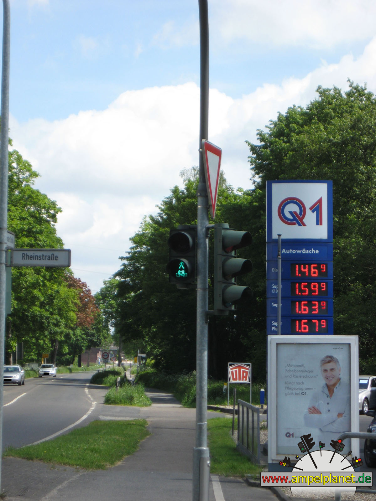
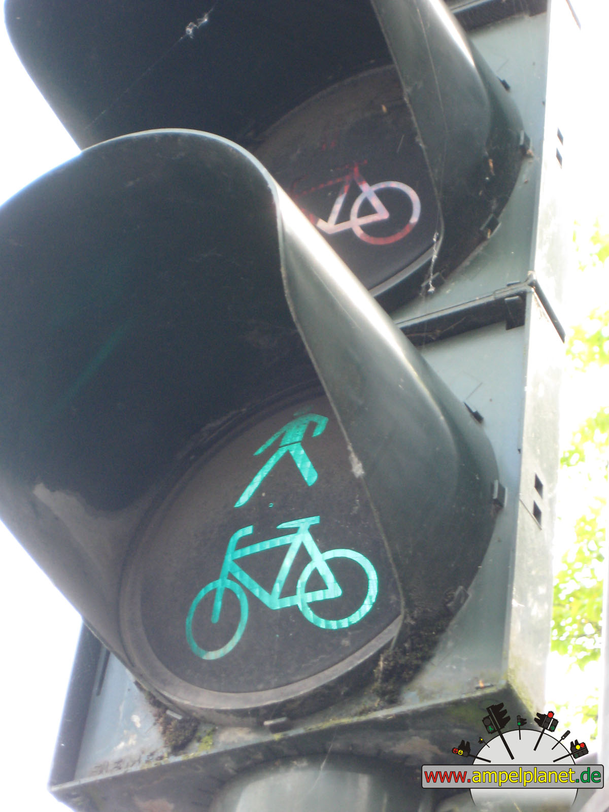
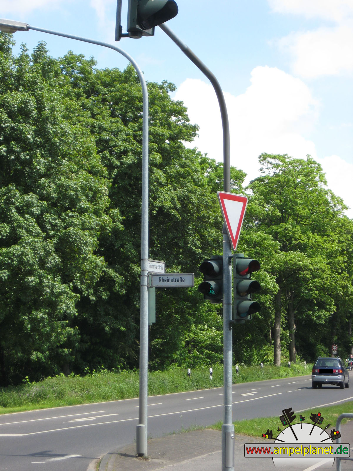
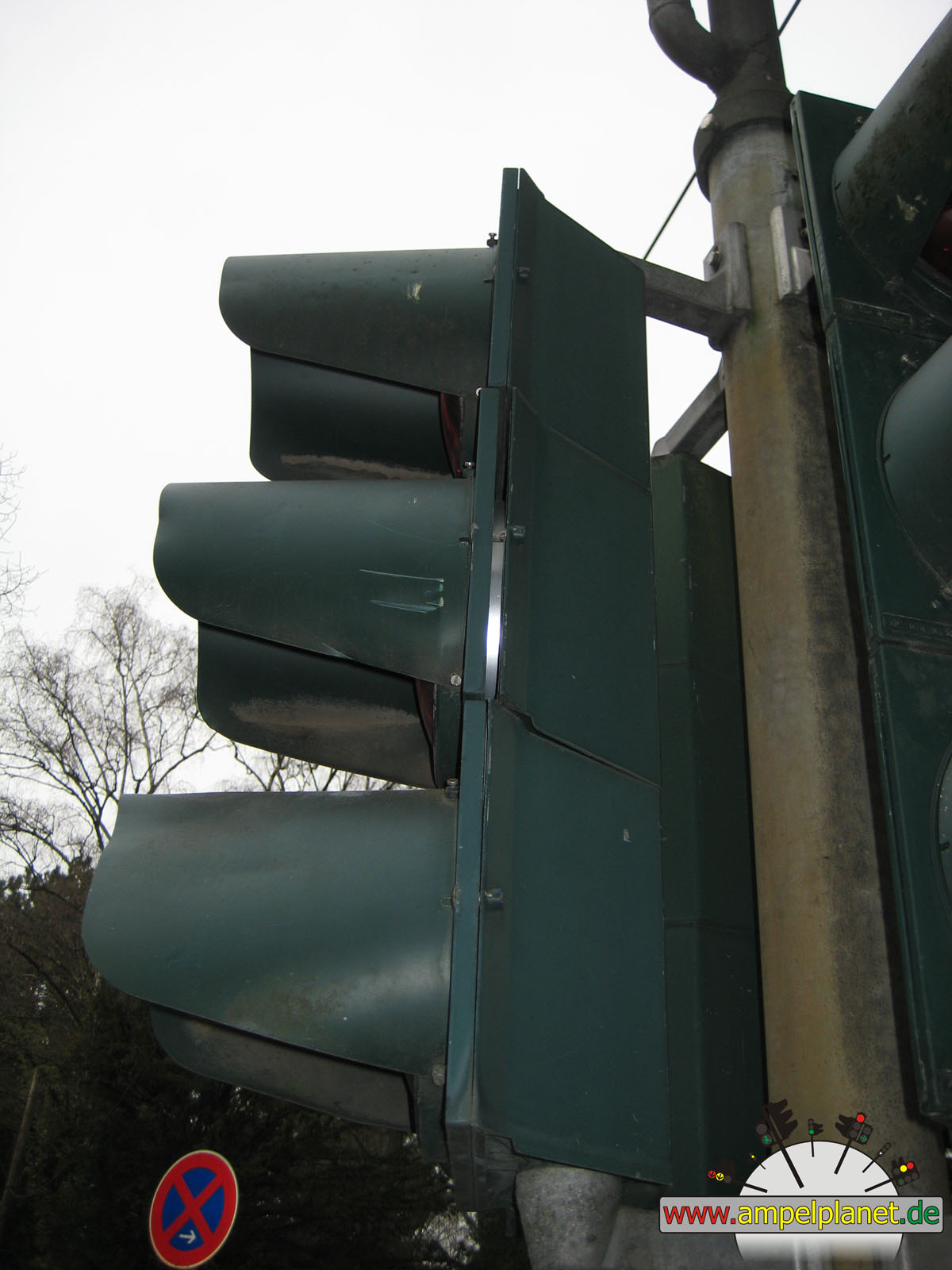
L475 Tönisvorster Straße / Rheinstraße |
|
L475 Tönisvorster Straße / Rheinstraße |
|
L475 Tönisvorster Straße / Rheinstraße |
|
L475 Tönisvorster Straße / Rheinstraße |
|
|
|||||||
|
|
L475 Tönisvorster Straße / Rheinstraße |
||||||
|
|
|
|
Köln, 03/2012 |
|
|
|
|
|
||||
|
|
Schmiedgasse |
|
Schmiedgasse |
|
Schmiedgasse |
|
Schmiedgasse |
|
|
 |
 |
 |
||||
|
|
Schmiedgasse |
|
Schmiedgasse |
|
Schmiedgasse |
|
Schmiedgasse |
|
|
|||||||
|
|
Schmiedgasse |
||||||
|
|
|
|
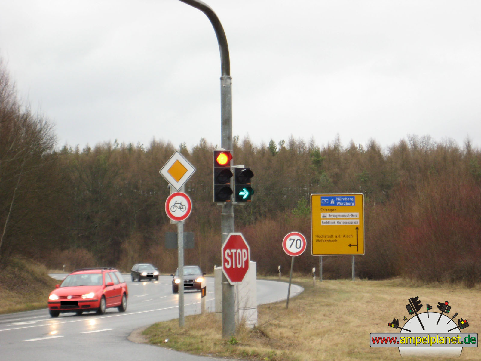
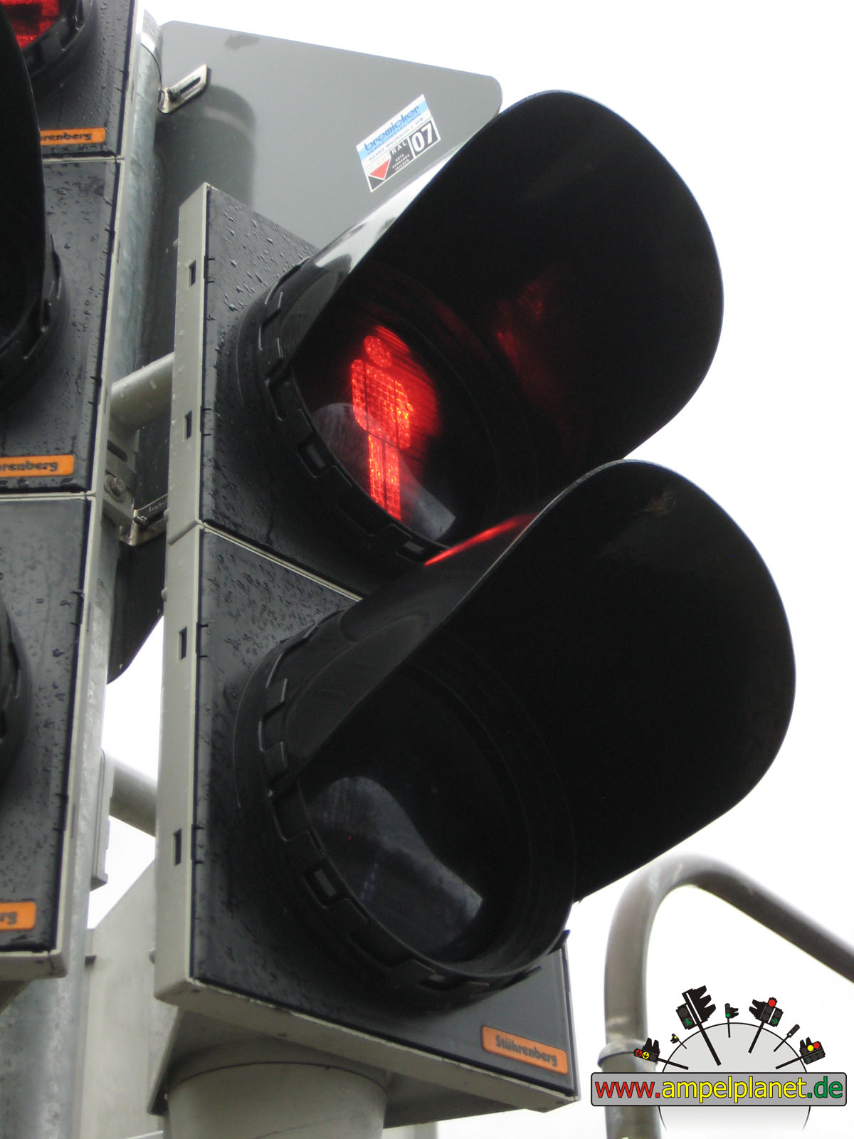
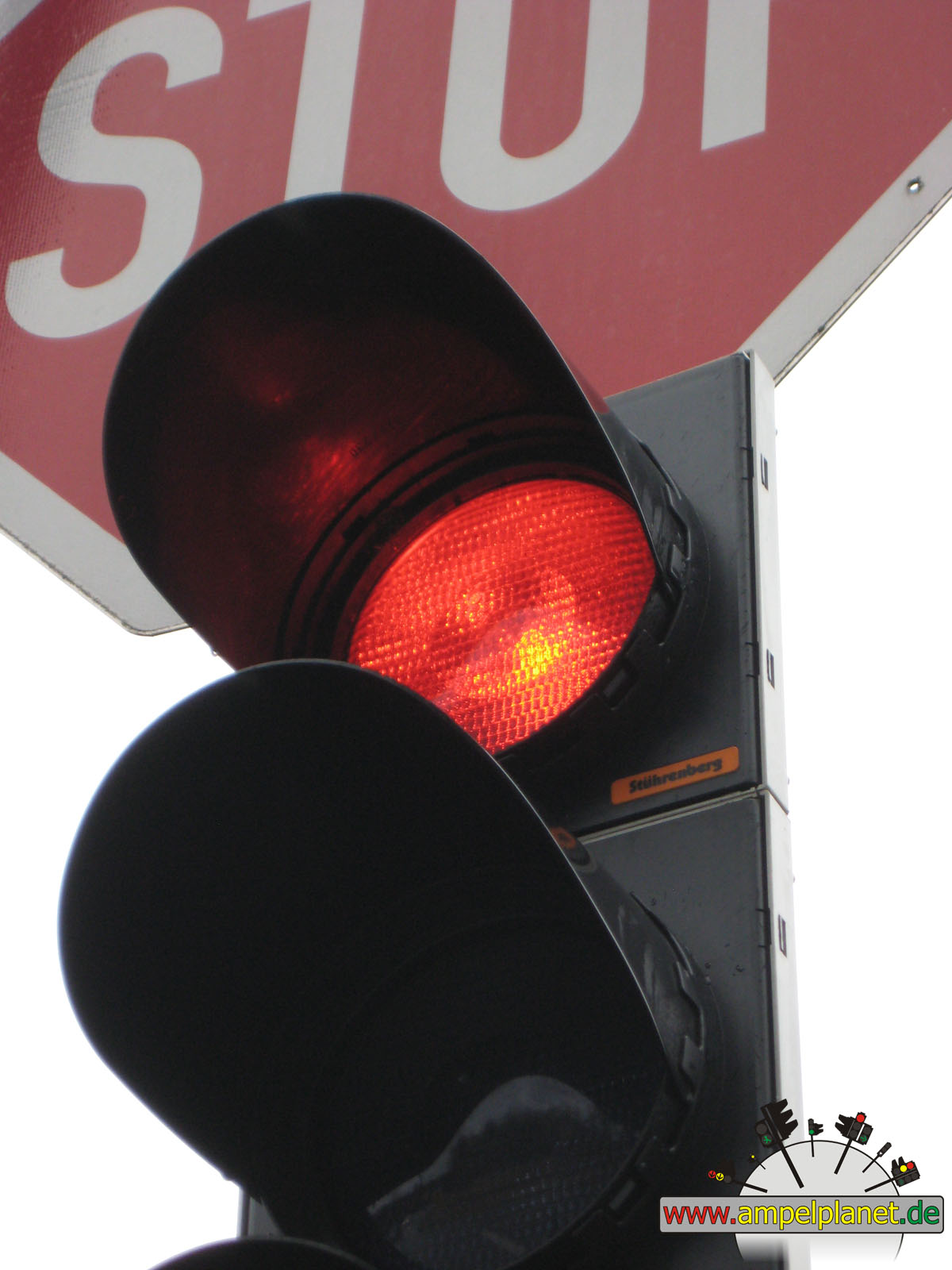
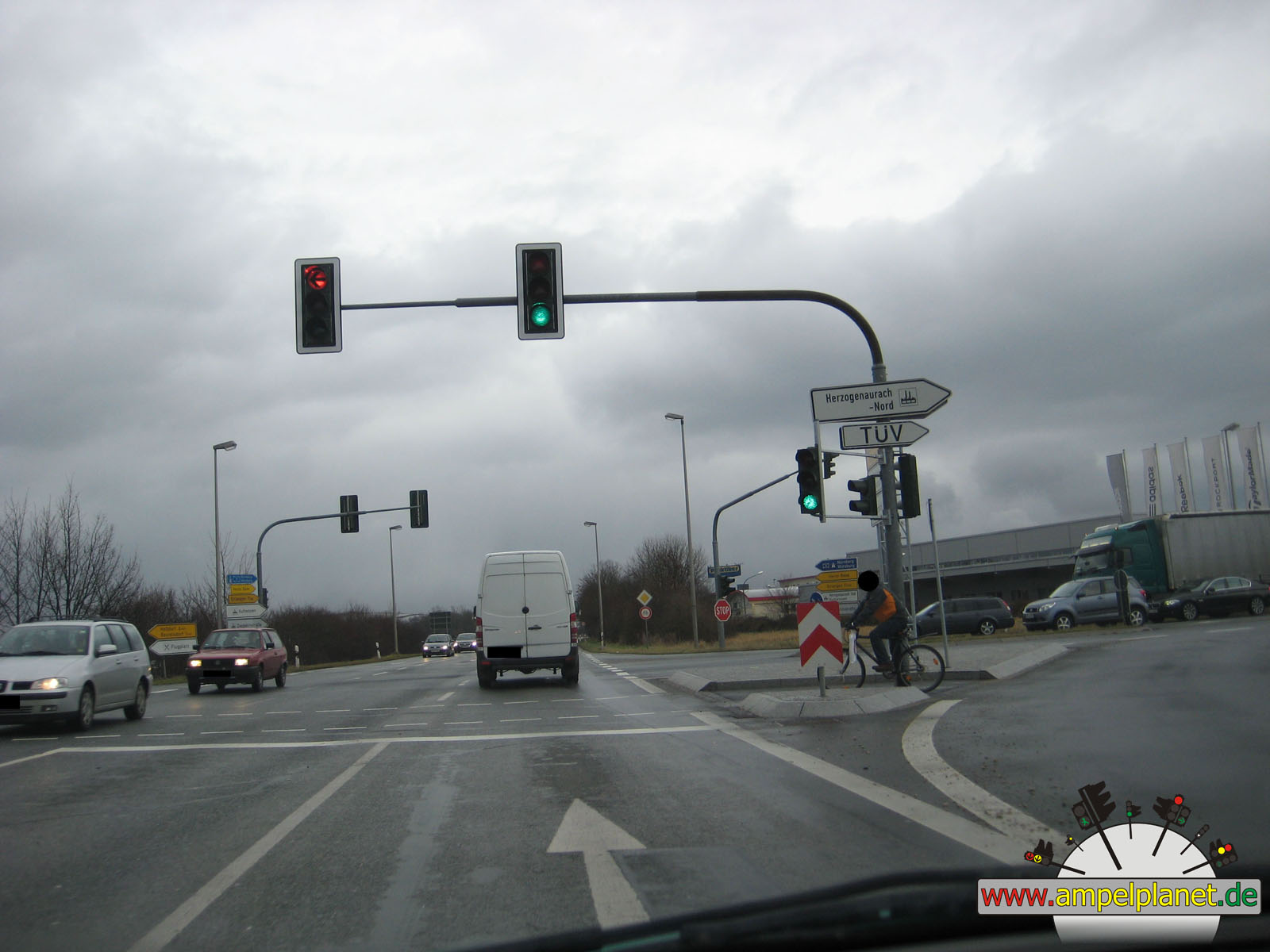
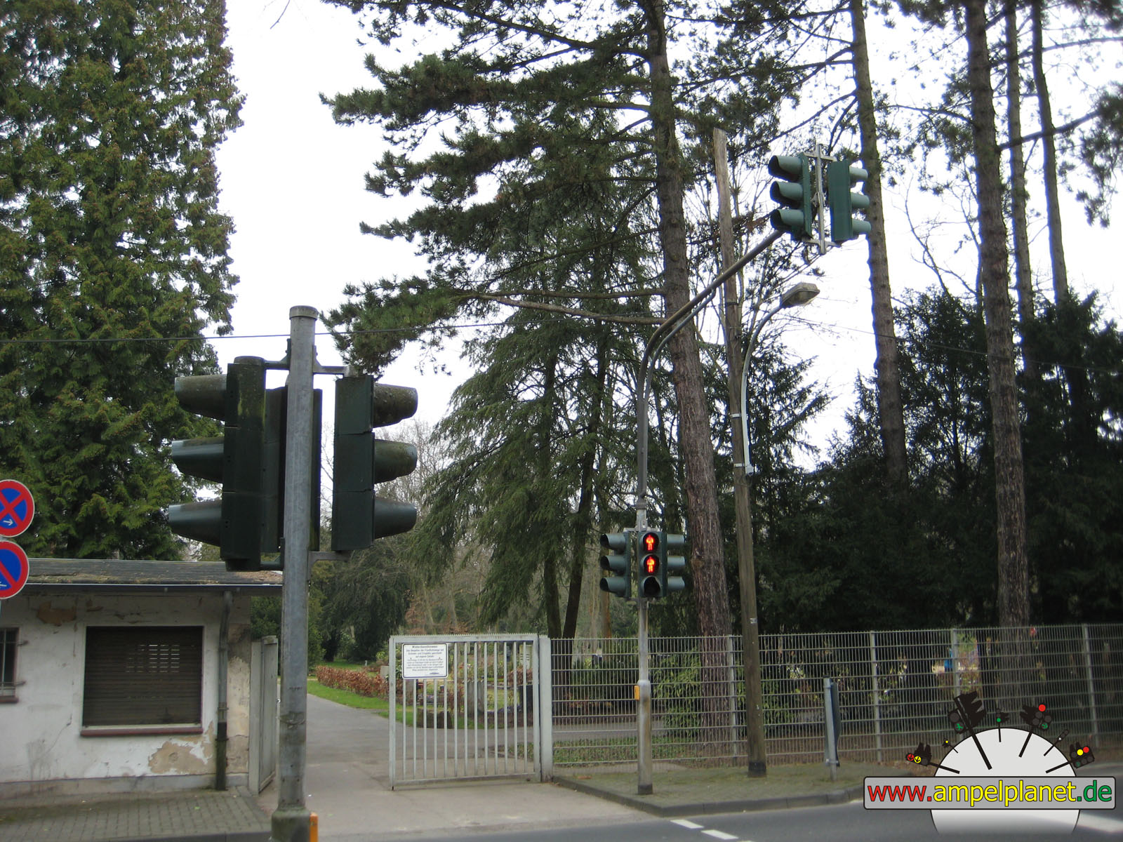
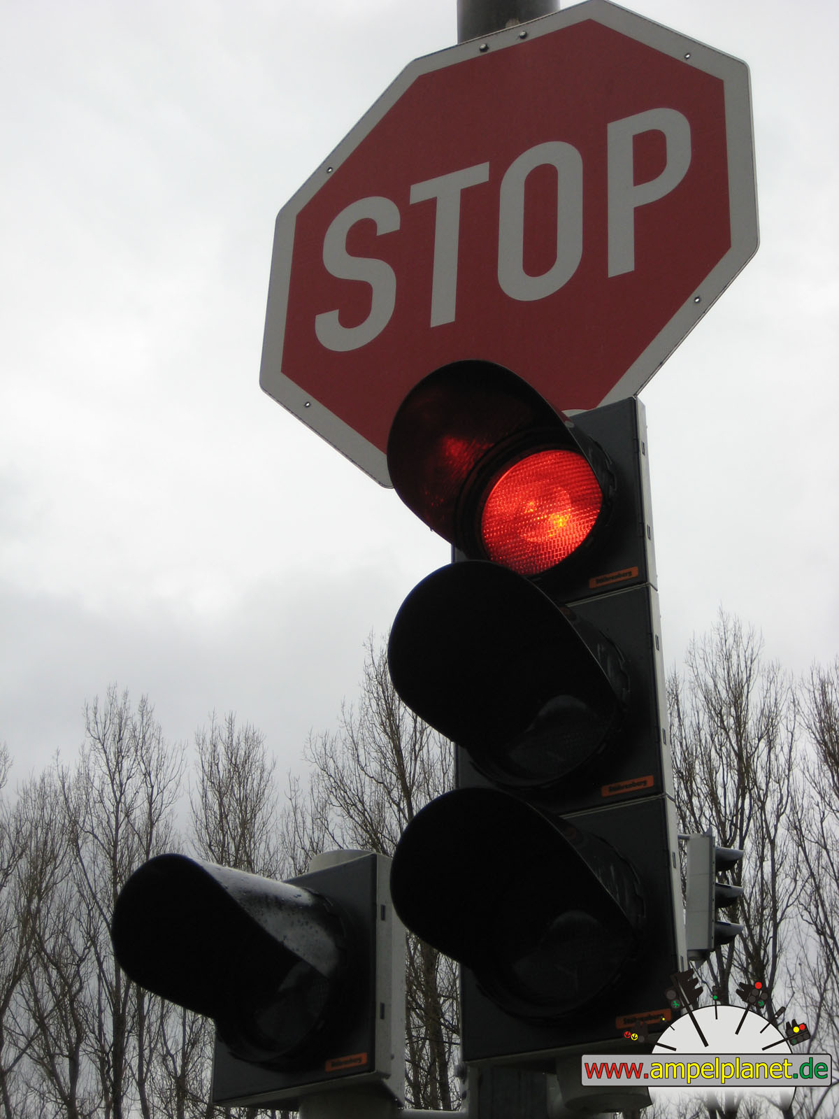
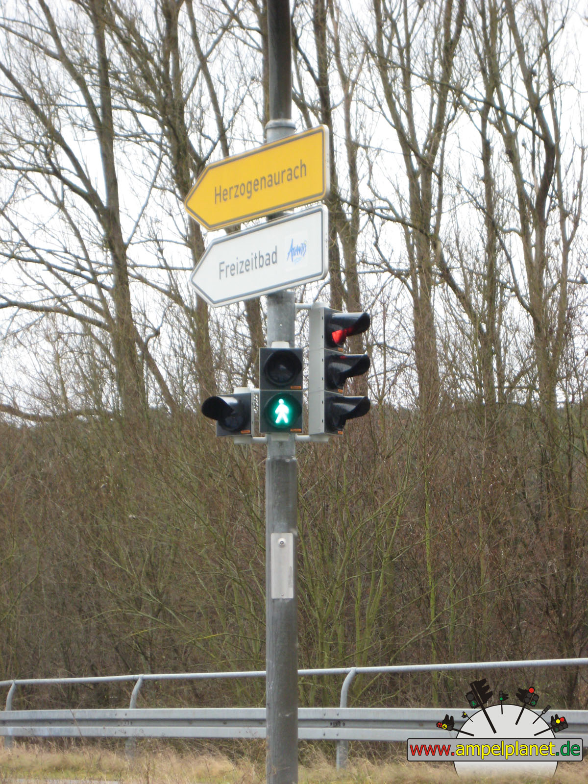
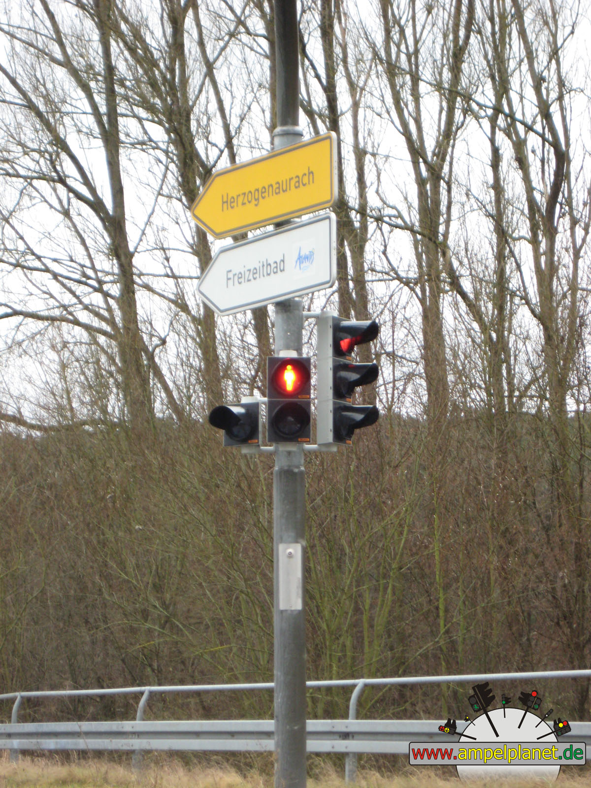
Herzogenaurach, 12/2011 |
|
|
|
|
|
||||
|
|
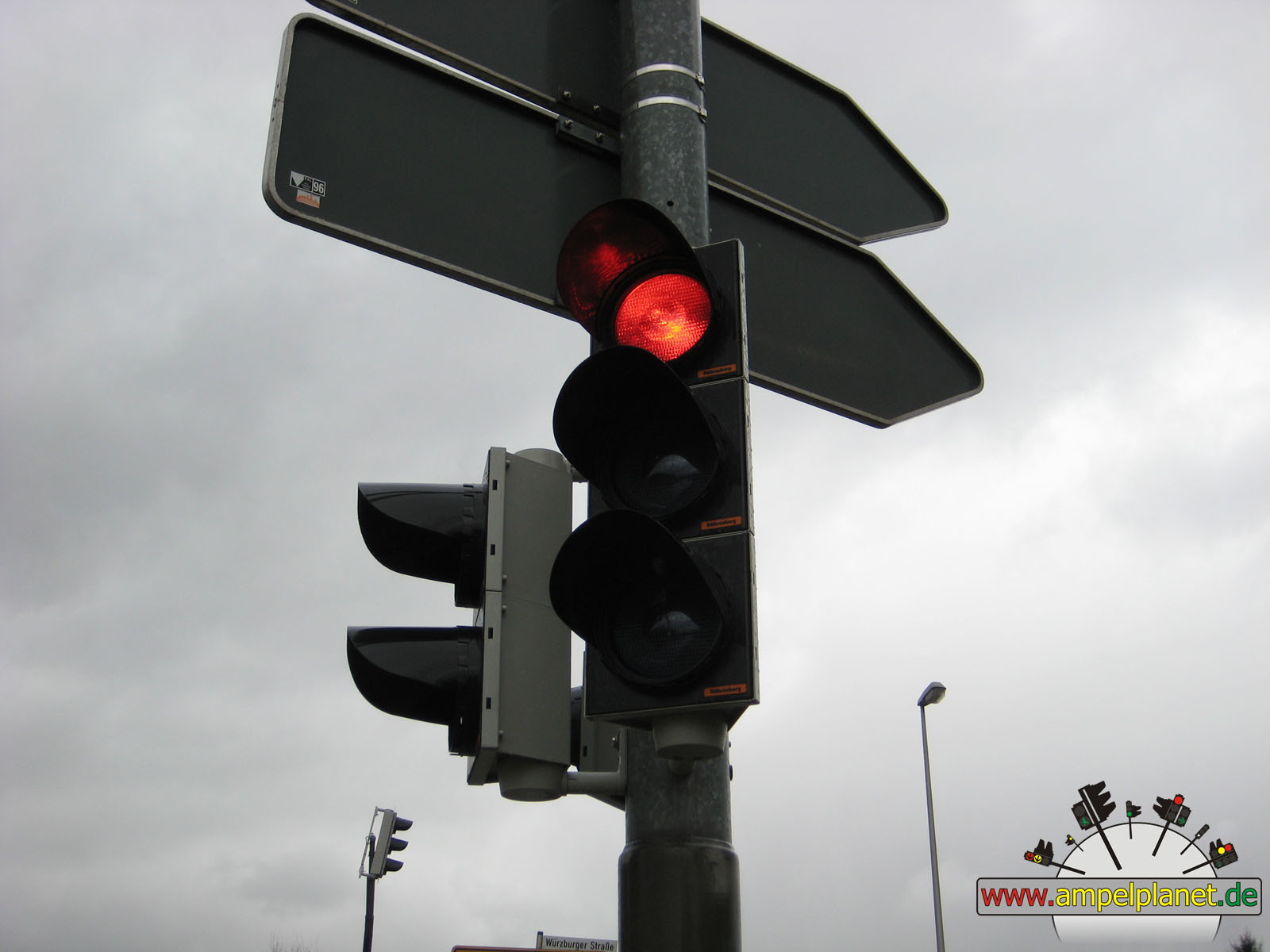
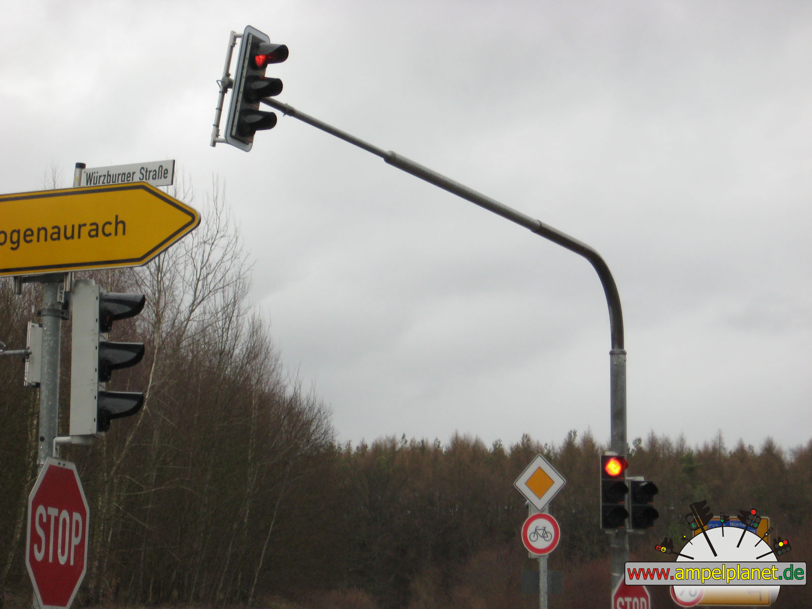
Hauptstraße / Hans-Ort-Ring / Würzburger Straße |
|
Hauptstraße / Hans-Ort-Ring / Würzburger Straße |
|
Hauptstraße / Hans-Ort-Ring / Würzburger Straße |
|
Hauptstraße / Hans-Ort-Ring / Würzburger Straße |
|
|
 |
 |
 |
||||
|
|
Hauptstraße / Hans-Ort-Ring / Würzburger Straße |
|
Hauptstraße / Hans-Ort-Ring / Würzburger Straße |
|
Hauptstraße / Hans-Ort-Ring / Würzburger Straße |
|
Hauptstraße / Hans-Ort-Ring / Würzburger Straße |
|
|
|||||||
|
|
Hans-Ort-Ring / Bamberger Straße |
||||||
|
|
|
|
Pulheim, 12/2011 |
|
|
|
|
|||||
|
|
K10 / L213 / Brauweilerstraße |
|
K10 / L213 / Brauweilerstraße |
|
K10 / L213 / Brauweilerstraße |
||
|
|
|
|
Krefeld, 10/2011 |
|
|
|
|
|
||||
|
|
[B288] Berliner Straße / Bruchfeld |
|
[B288] Berliner Straße / Bruchfeld |
|
[B288] Berliner Straße / Bruchfeld |
|
[B288] Berliner Straße / Bruchfeld |
|
|
 |
 |
 |
||||
|
|
[B288] Berliner Straße / Bruchfeld |
|
[B288] Berliner Straße / Bruchfeld |
|
[B288] Berliner Straße / Bruchfeld |
|
[B288] Berliner Straße / Bruchfeld |
|
|
|
|
Duisburg, 10/2011 |
|
|
|
|
|
||||
|
|
[A59] / [B8n] / [B288] Krefelder Straße |
|
[A59] / [B8n] / [B288] Krefelder Straße |
|
[A59] / [B8n] / [B288] Krefelder Straße |
|
[A59] / [B8n] / [B288] Krefelder Straße |
|
|
 |
||||||
|
|
[A59] / [B8n] / [B288] Krefelder Straße |
|
[A59] / [B8n] / [B288] Krefelder Straße |
||||
|
|
|
|
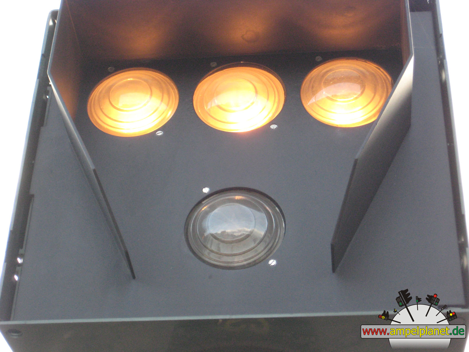
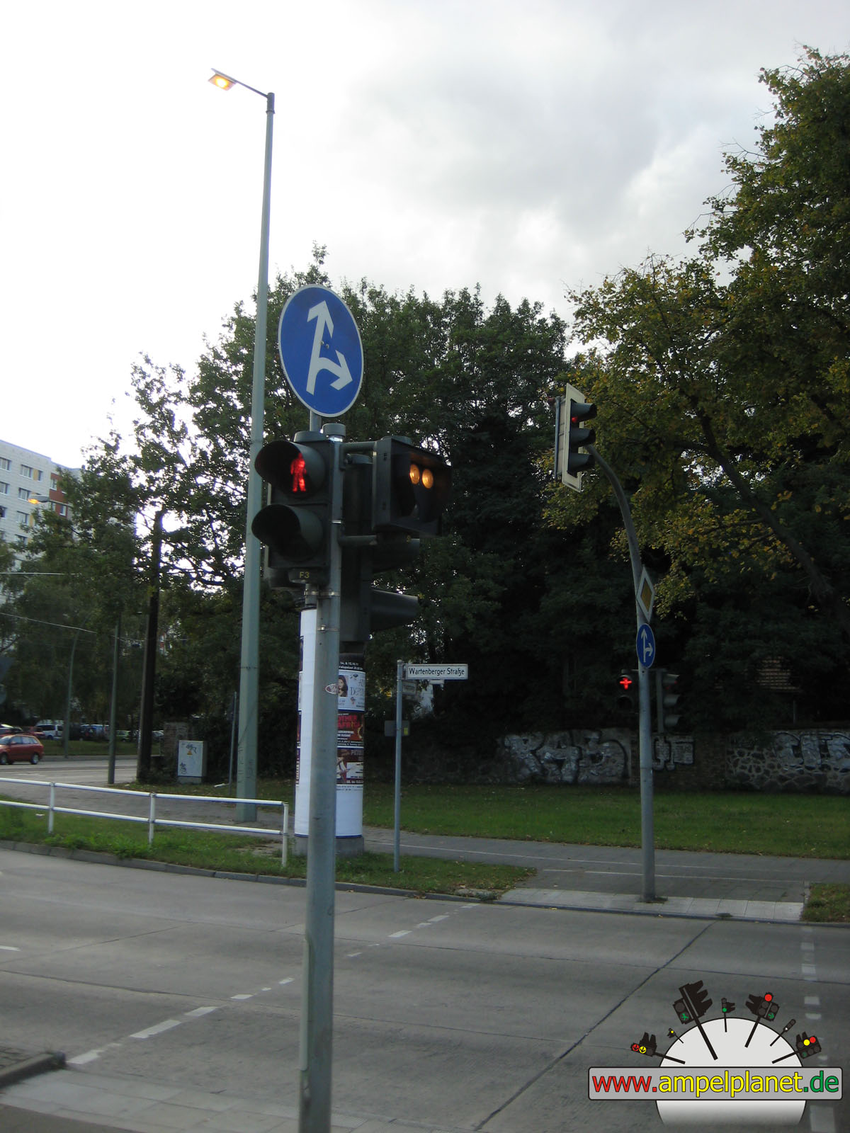
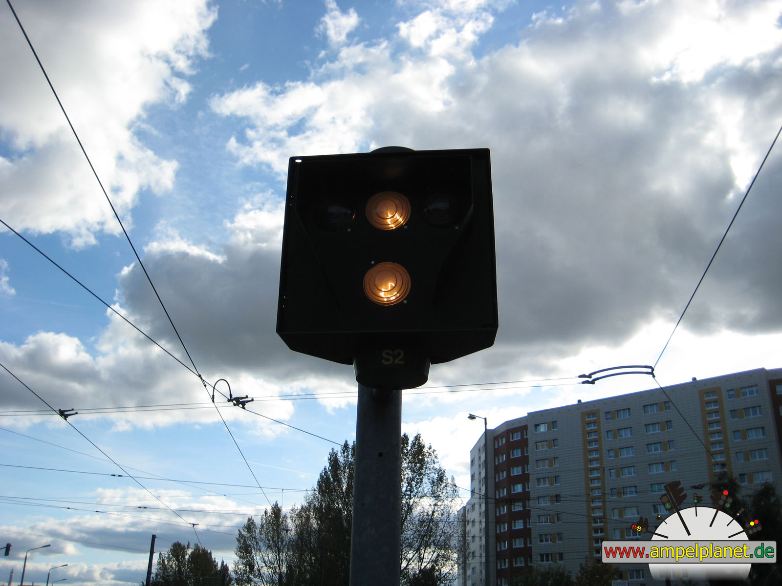
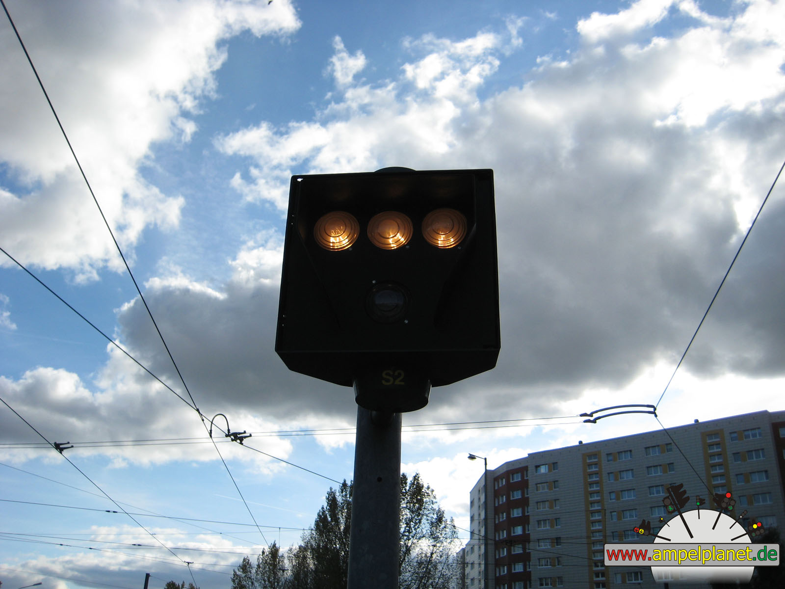
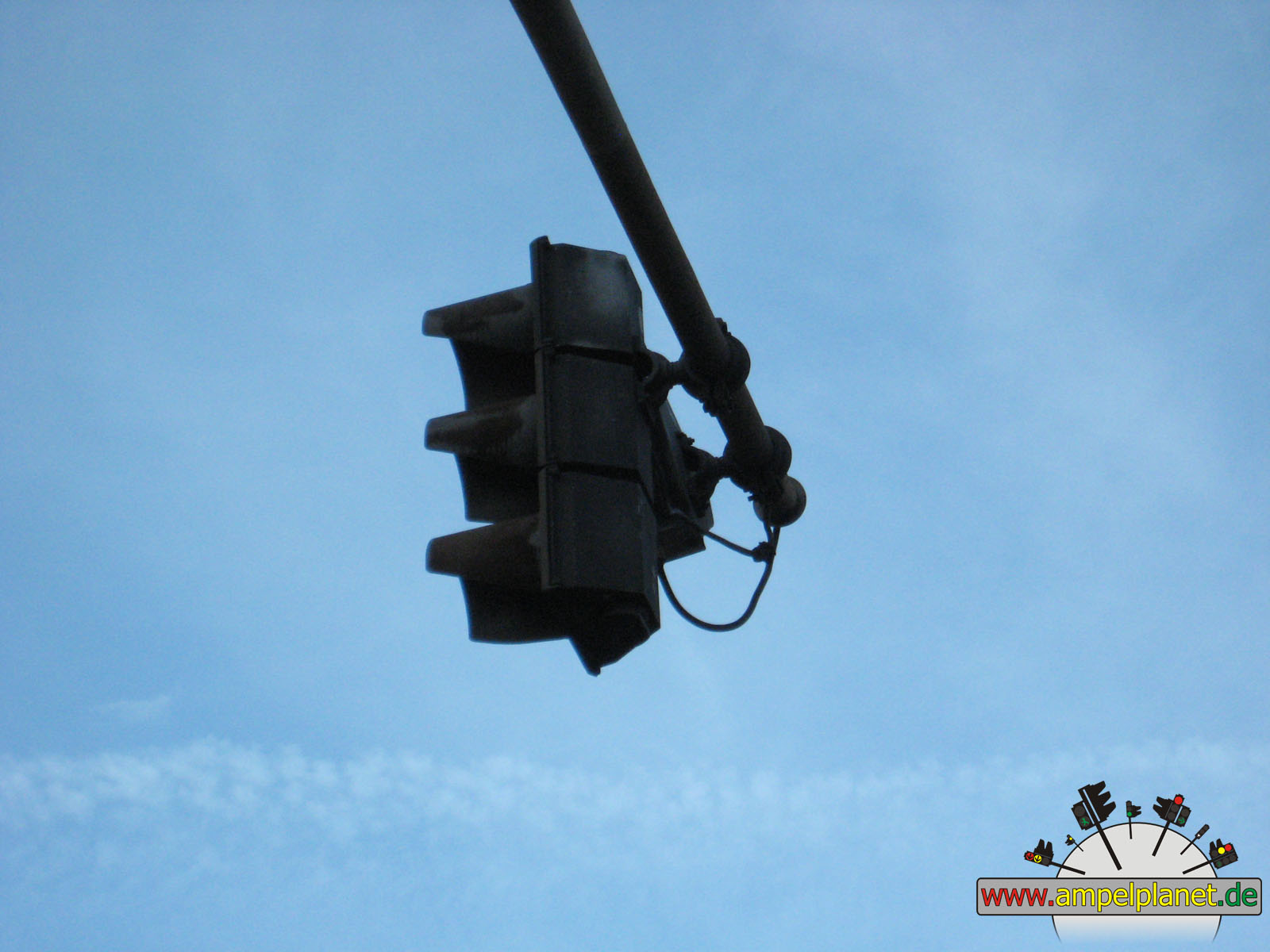
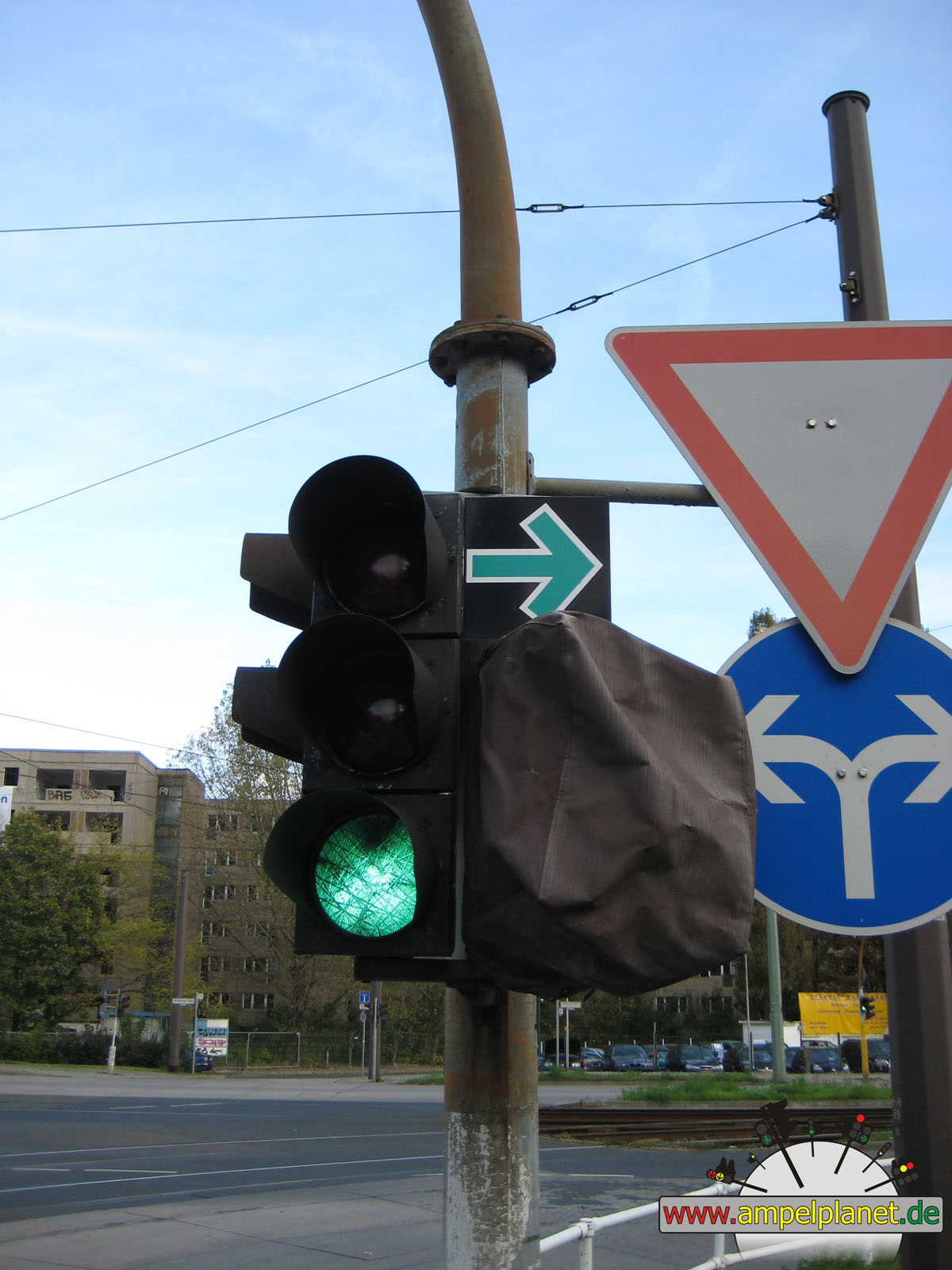
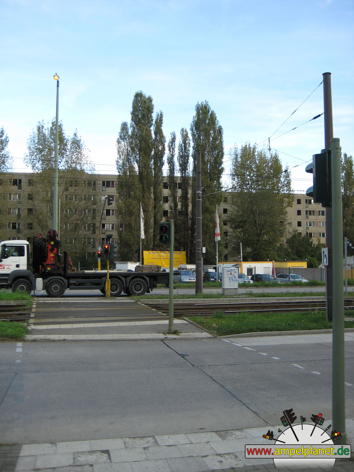
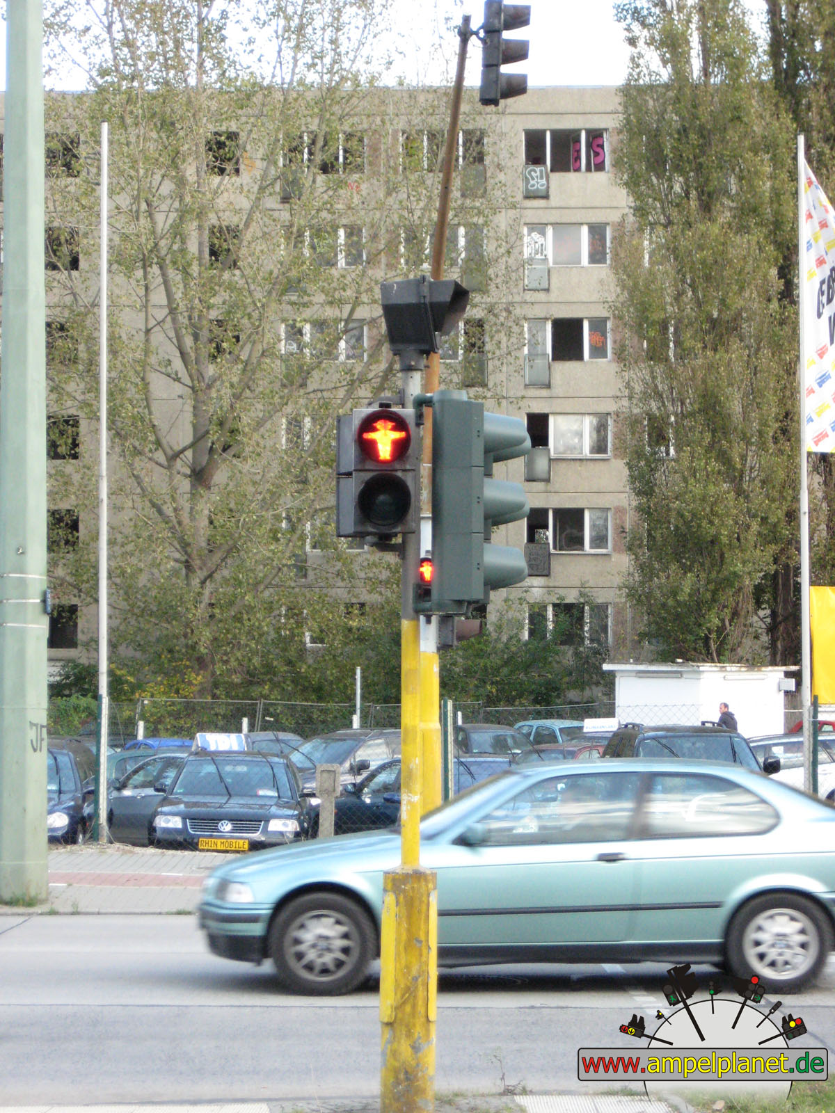
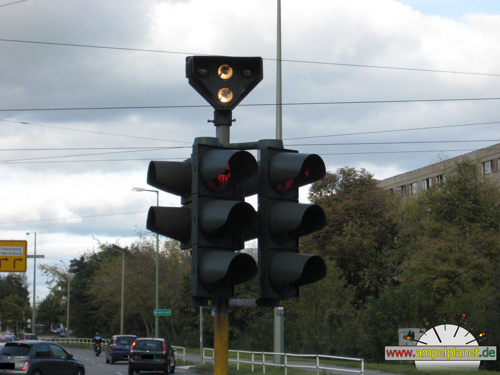
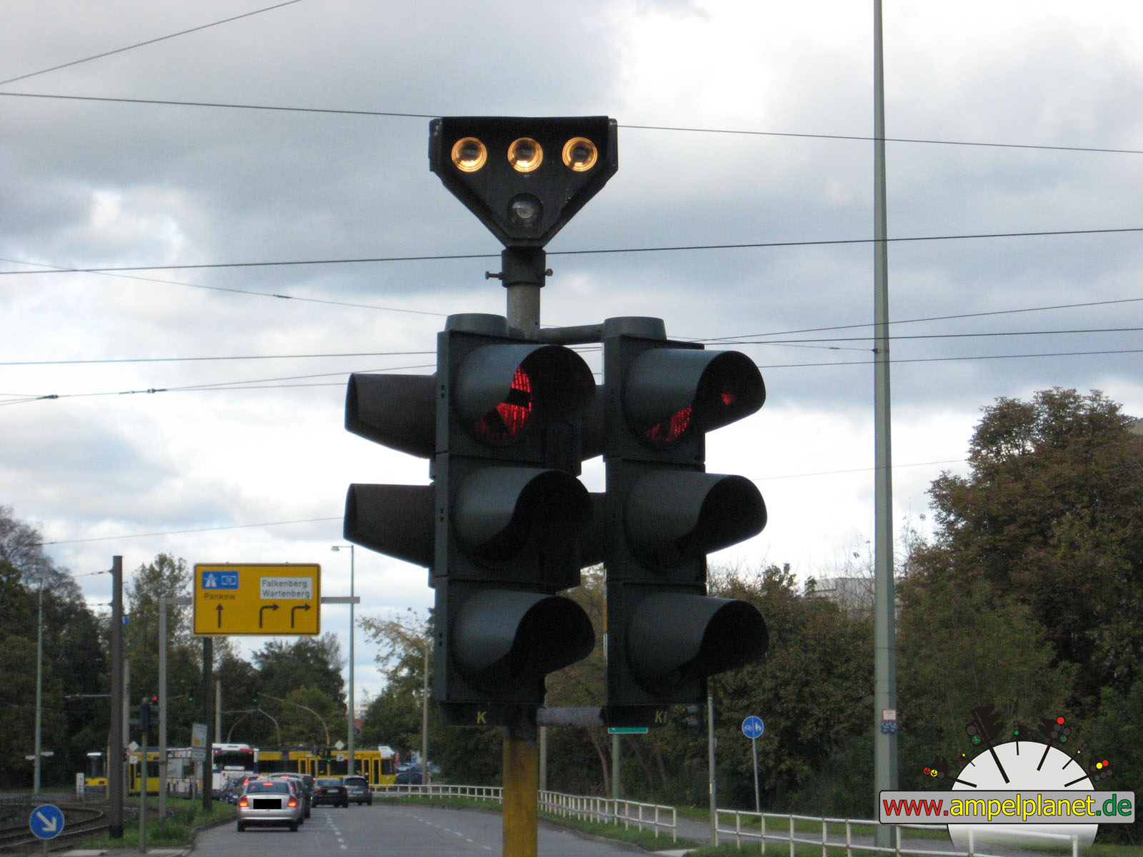
Berlin, 10/2011 |
|
|
|
|
|
||||
|
|
Wartenberger Straße / Rhinstraße / Hauptstraße |
|
Wartenberger Straße / Rhinstraße / Hauptstraße |
|
Wartenberger Straße / Rhinstraße / Hauptstraße |
|
Wartenberger Straße / Rhinstraße / Hauptstraße |
|
|
|
|
|
||||
|
|
Wartenberger Straße / Rhinstraße / Hauptstraße |
|
Wartenberger Straße / Rhinstraße / Hauptstraße |
|
Wartenberger Straße / Rhinstraße / Hauptstraße |
|
Wartenberger Straße / Rhinstraße / Hauptstraße |
|
|
|
|
|
||||
|
|
Wartenberger Straße / Rhinstraße / Hauptstraße |
|
Wartenberger Straße / Rhinstraße / Hauptstraße |
|
Wartenberger Straße / Rhinstraße / Hauptstraße |
|
Wartenberger Straße / Rhinstraße / Hauptstraße |
|
|
|
|
|
||||
|
|
Wartenberger Straße / Rhinstraße / Hauptstraße |
|
Wartenberger Straße / Rhinstraße / Hauptstraße |
|
Wartenberger Straße / Rhinstraße / Hauptstraße |
|
Wartenberger Straße / Rhinstraße / Hauptstraße |
 |
 |
 |
|
||||
|
|
Wartenberger Straße / Rhinstraße / Hauptstraße |
|
Wartenberger Straße / Rhinstraße / Hauptstraße |
|
Wartenberger Straße / Rhinstraße / Hauptstraße |
|
Wartenberger Straße / Rhinstraße / Hauptstraße |
 |
 |
 |
|
||||
|
|
Wartenberger Straße / Rhinstraße / Hauptstraße |
|
Wartenberger Straße / Rhinstraße / Hauptstraße |
|
Wartenberger Straße / Rhinstraße / Hauptstraße |
|
Wartenberger Straße / Rhinstraße / Hauptstraße |
 |
 |
|
|||||
|
|
Wartenberger Straße / Rhinstraße / Hauptstraße |
|
Wartenberger Straße / Rhinstraße / Hauptstraße |
||||
|
|
|
|
Solingen, 06/2011 |
|
|
|
|
|||||
|
|
L67 Mangenberger Straße / L141n |
|
L67 Mangenberger Straße / L141n |
||||
|
|
|
|
Leichlingen, 05/2011 |
|
|
|
|
|
||||
|
|
Brückenstraße / L79 Am Wallgraben / L79 Bahnhofstraße |
|
Brückenstraße / L79 Am Wallgraben / L79 Bahnhofstraße |
|
Brückenstraße / L79 Am Wallgraben / L79 Bahnhofstraße |
|
Brückenstraße / L79 Am Wallgraben / L79 Bahnhofstraße |
|
|
 |
 |
|||||
|
|
Brückenstraße / L79 Am Wallgraben / L79 Bahnhofstraße |
|
Brückenstraße / L79 Am Wallgraben / L79 Bahnhofstraße |
|
Brückenstraße / L79 Am Wallgraben / L79 Bahnhofstraße |
||
|
|
|
|
Solingen, 05/2011 |
|
|
|
|
 |
||||
|
|
[B224] Goerdelerstraße / [B224] Entenpfuhl / Ufergarten / Birkenweiher |
|
[B224] Entenpfuhl / [B224] Werwolf / [B229] Birkerstraße |
|
K4 Bismarckstraße / Rathausstraße |
|
K4 Bismarckstraße / Bismarckplatz / Gabelsbergerstraße |
|
|
|
|
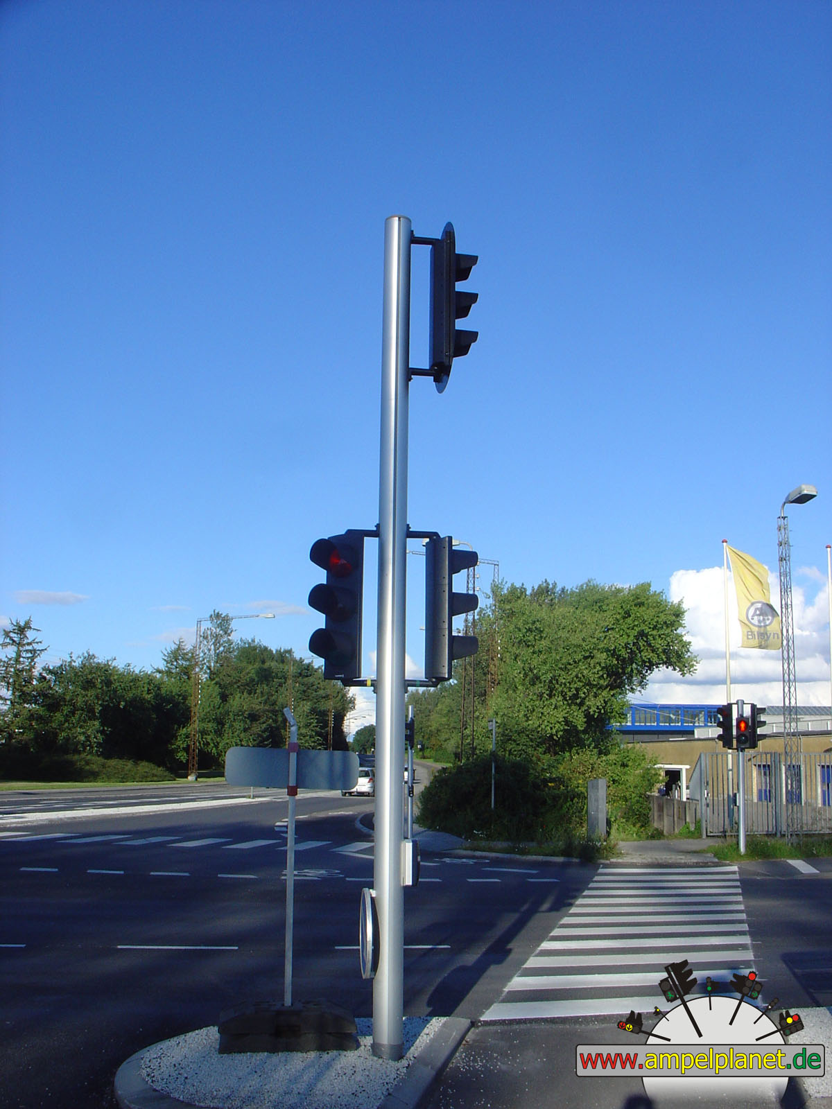
Sjælland Odde, 08/2010 |
|
|
|
|
|||||
|
|
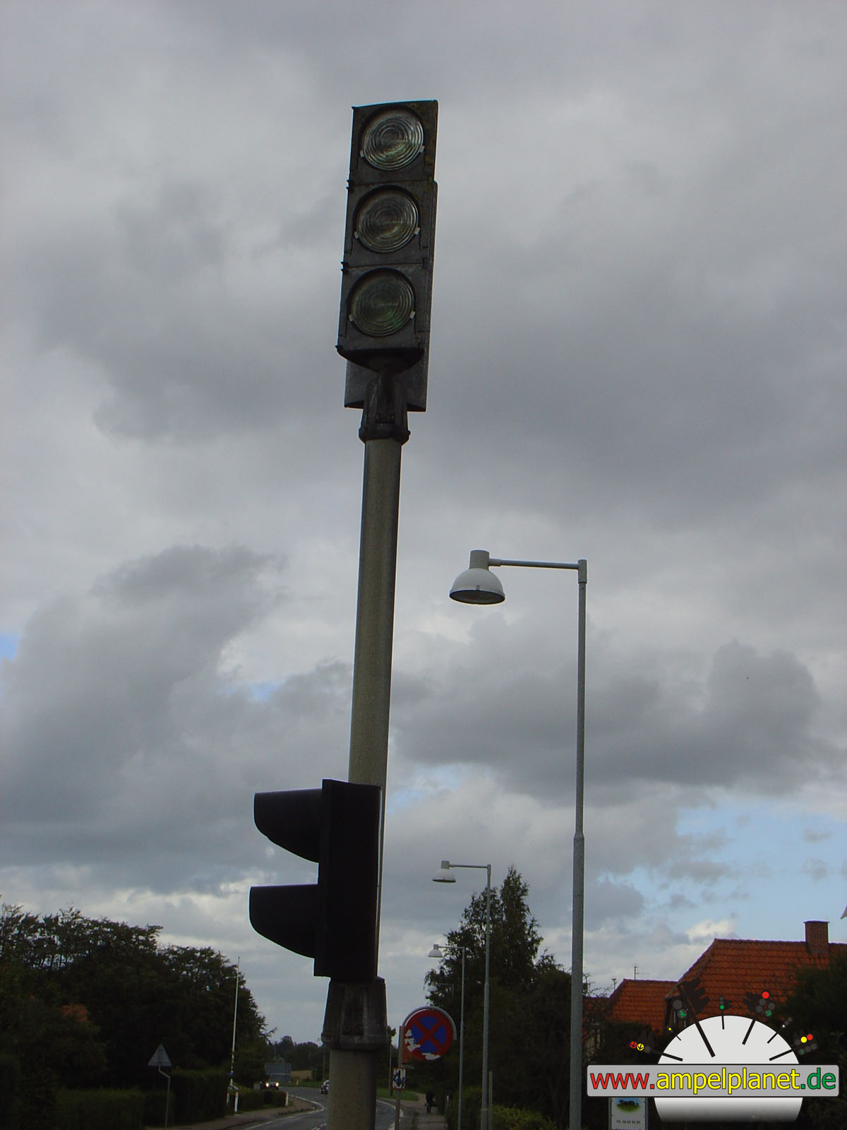
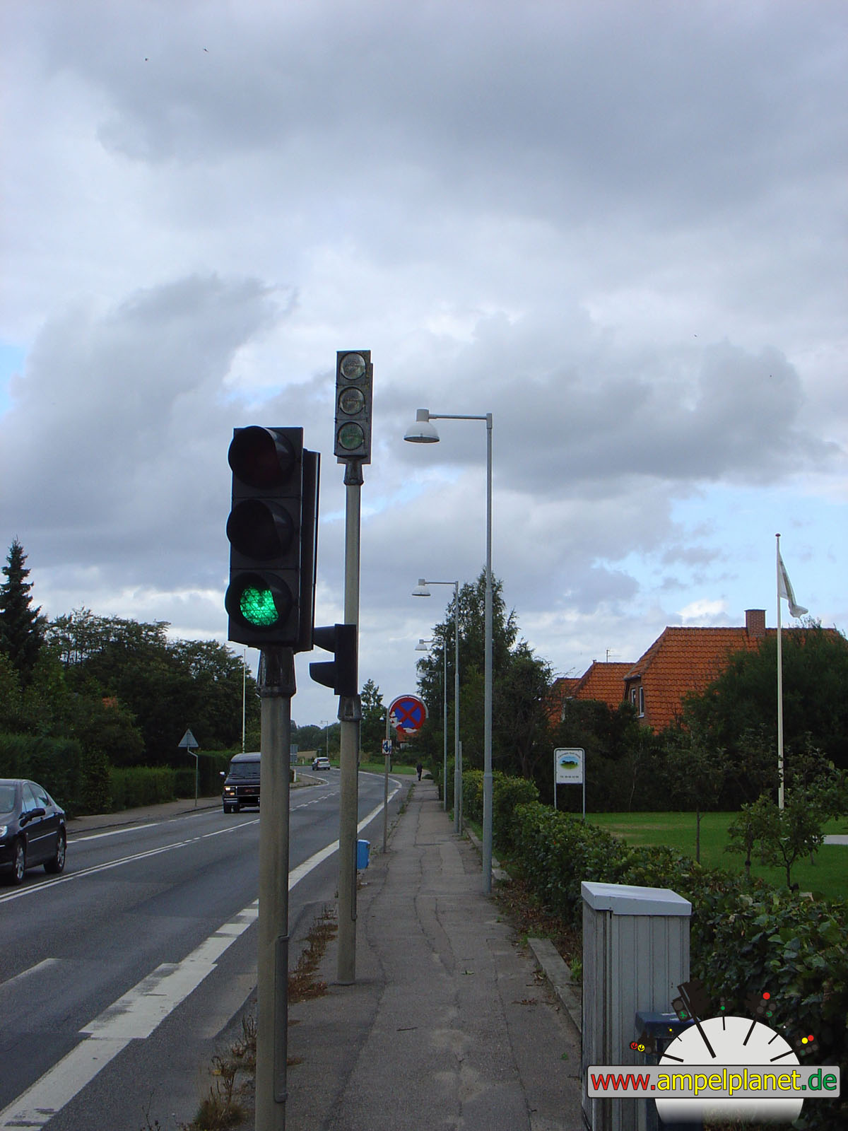
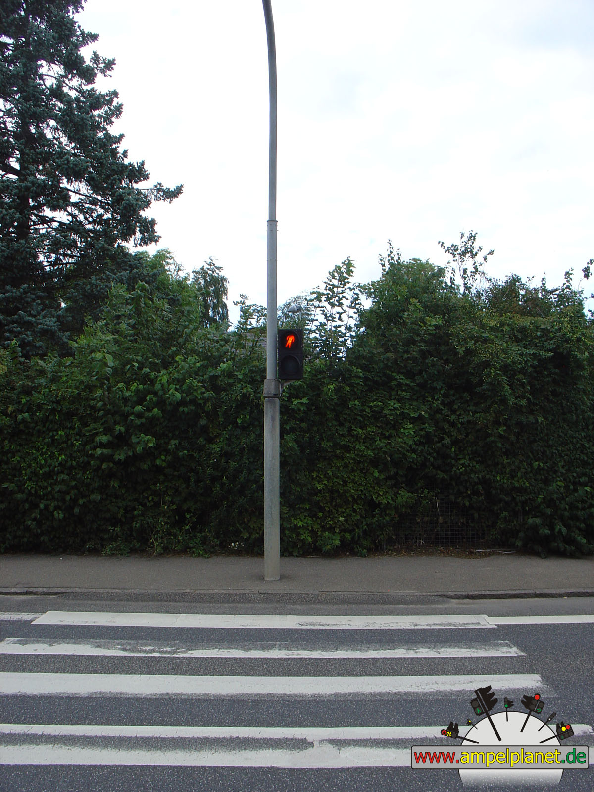
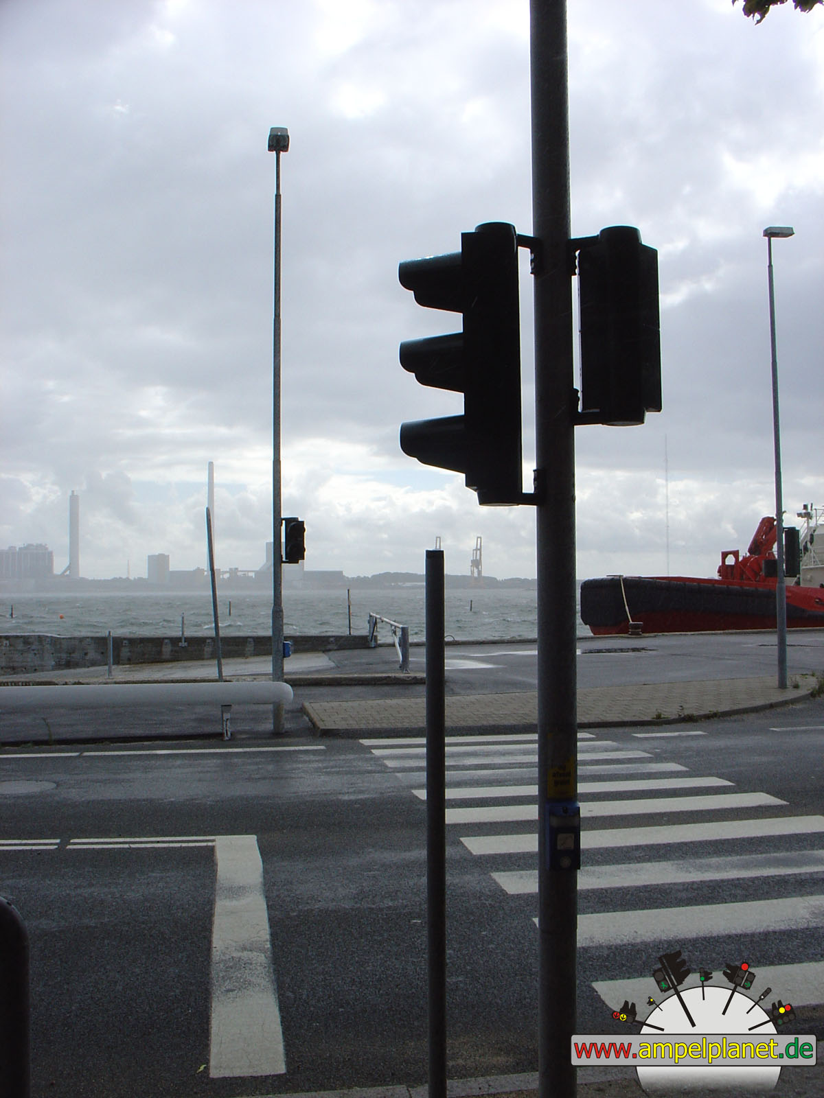
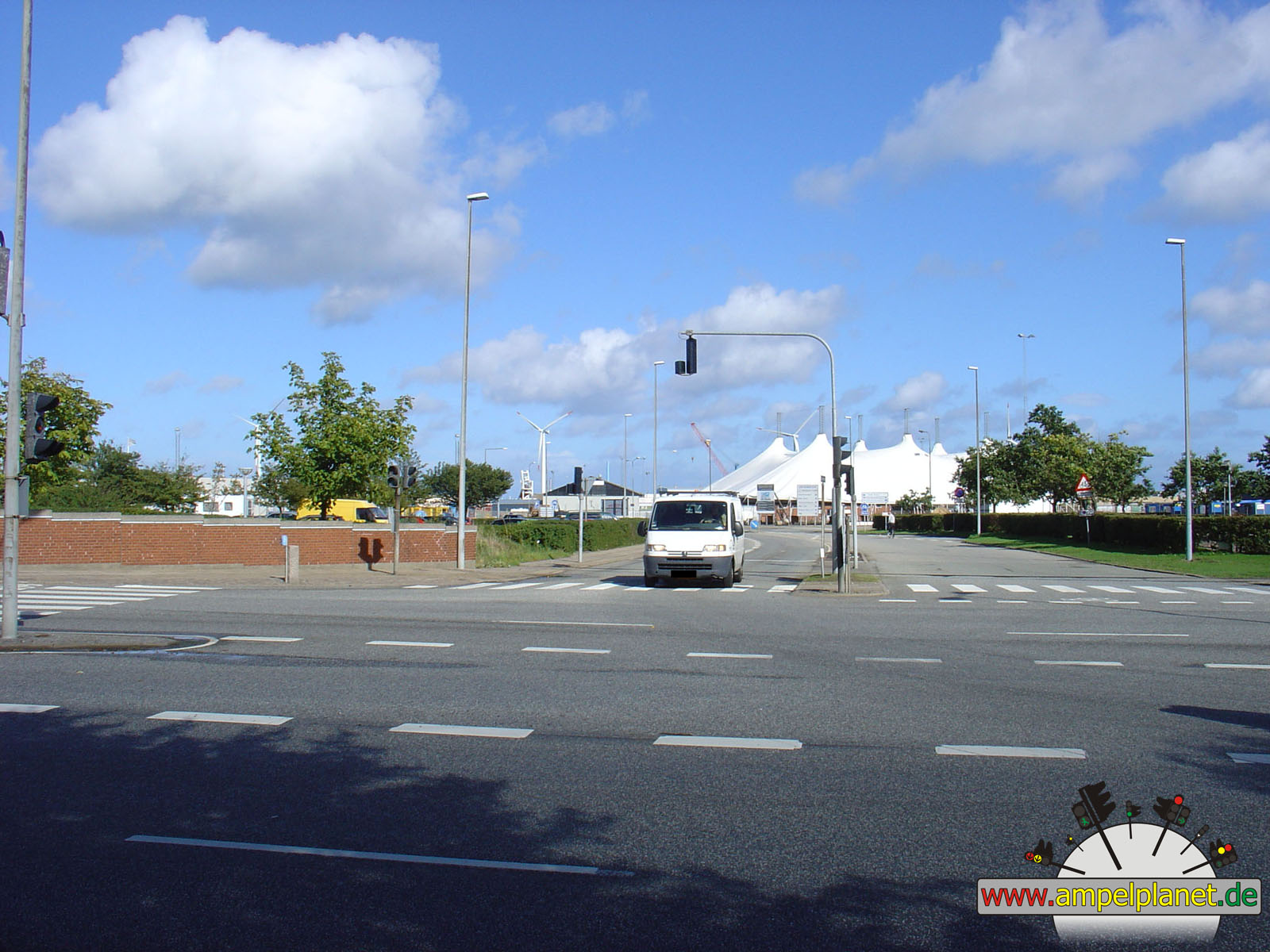
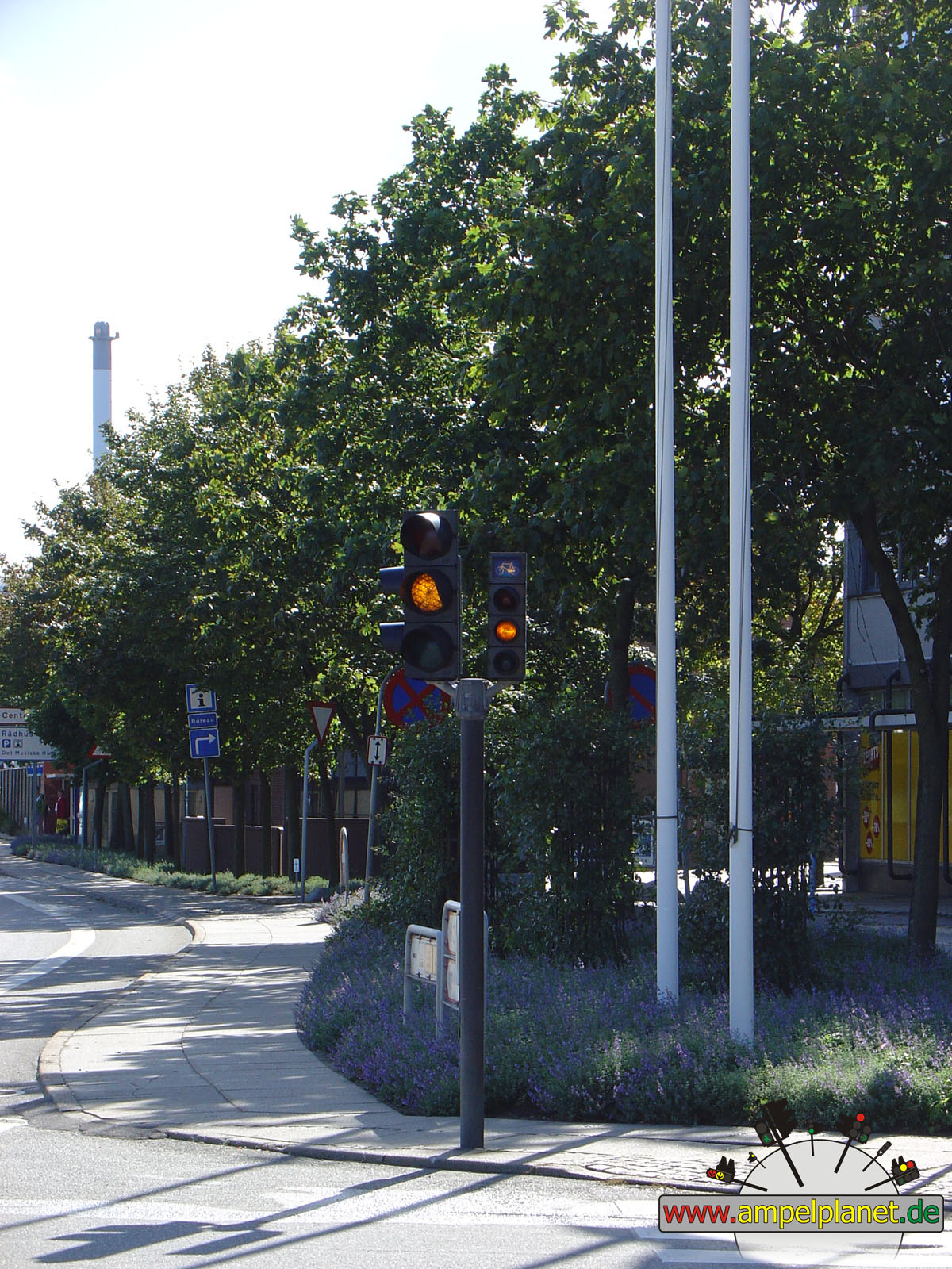
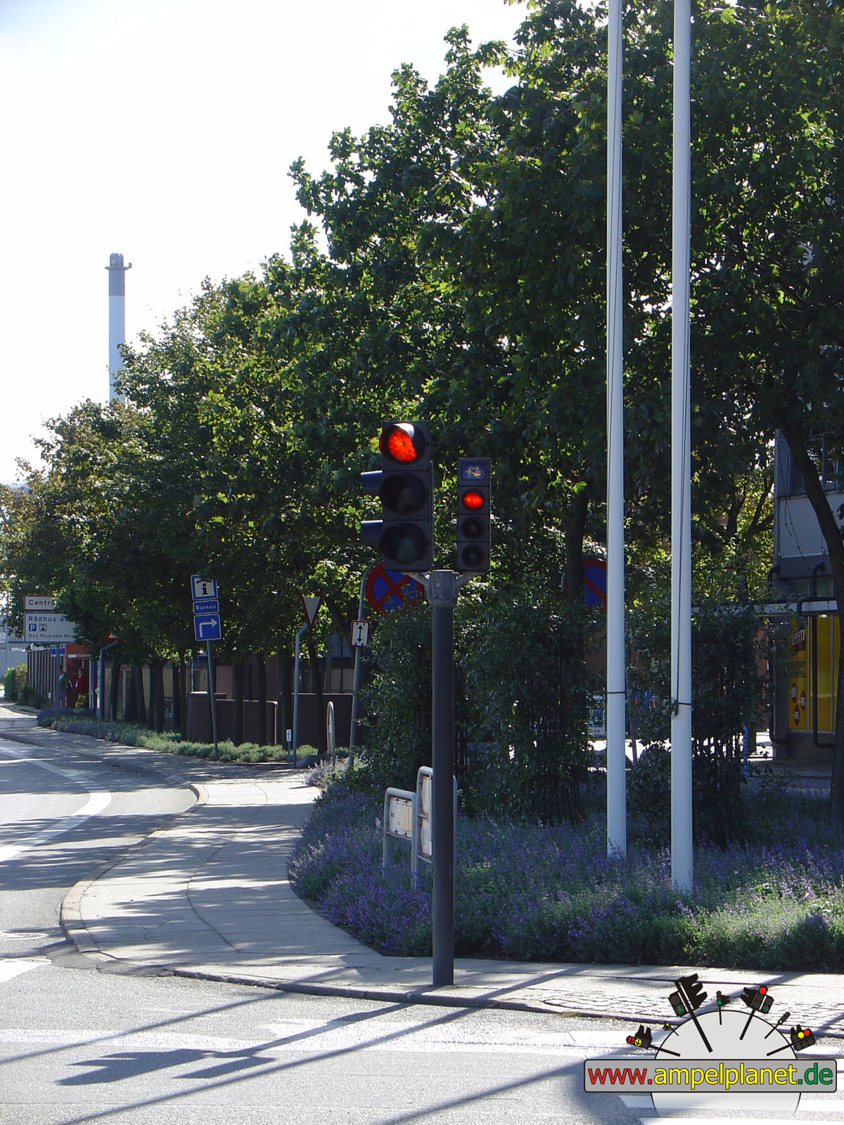
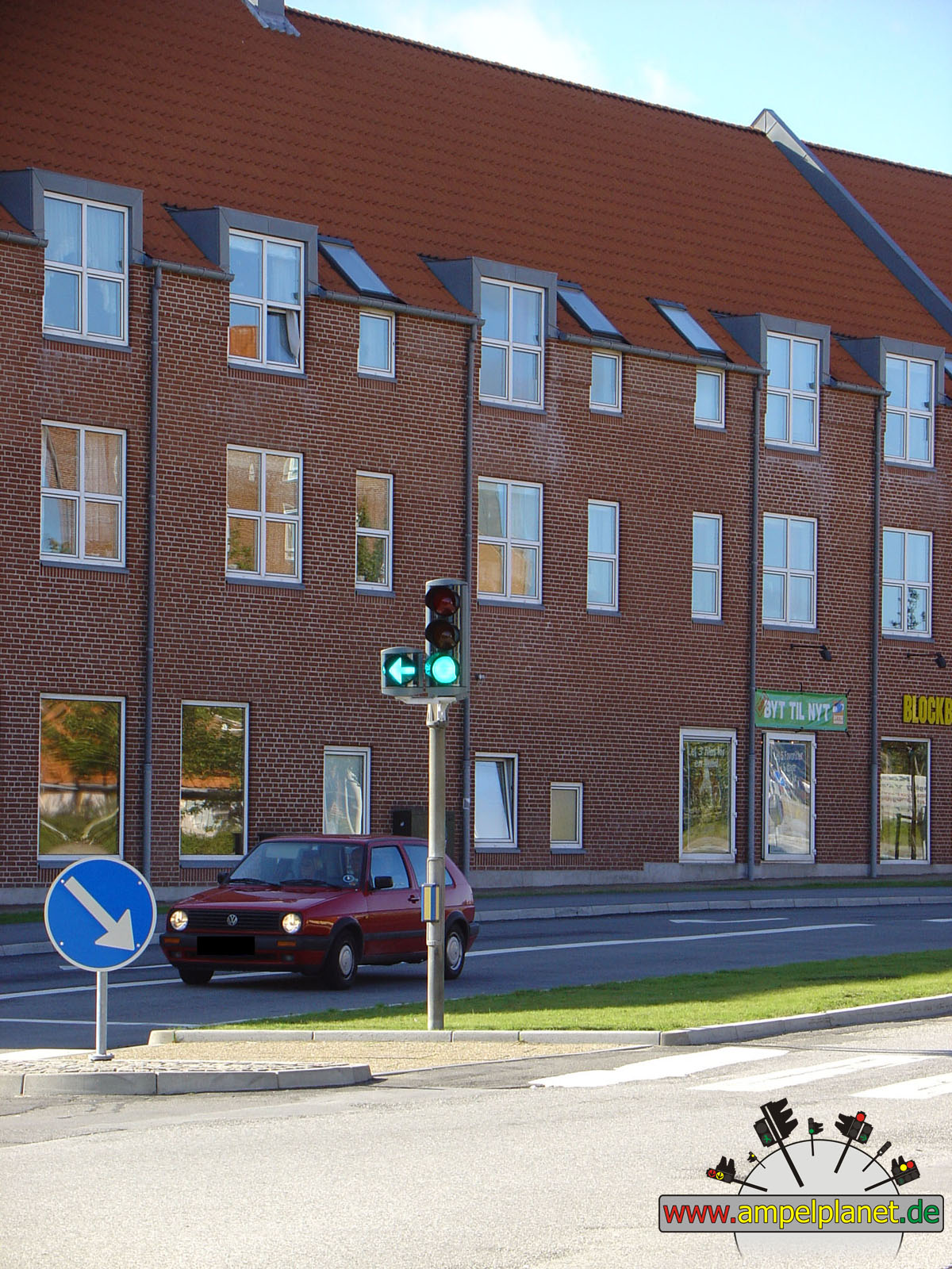
[21] Oddenvej |
|
[21] Oddenvej |
||||
|
|
|
|
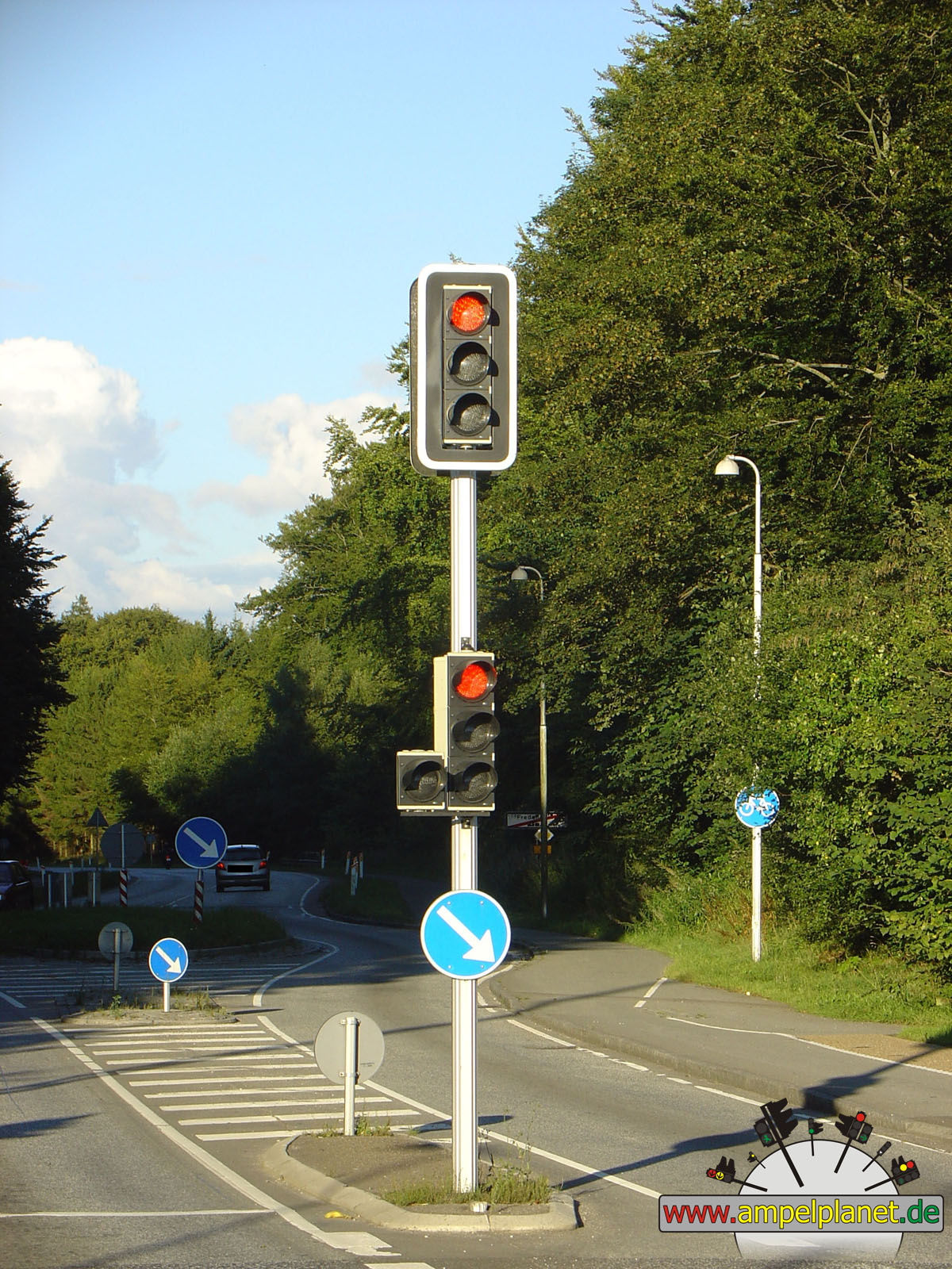
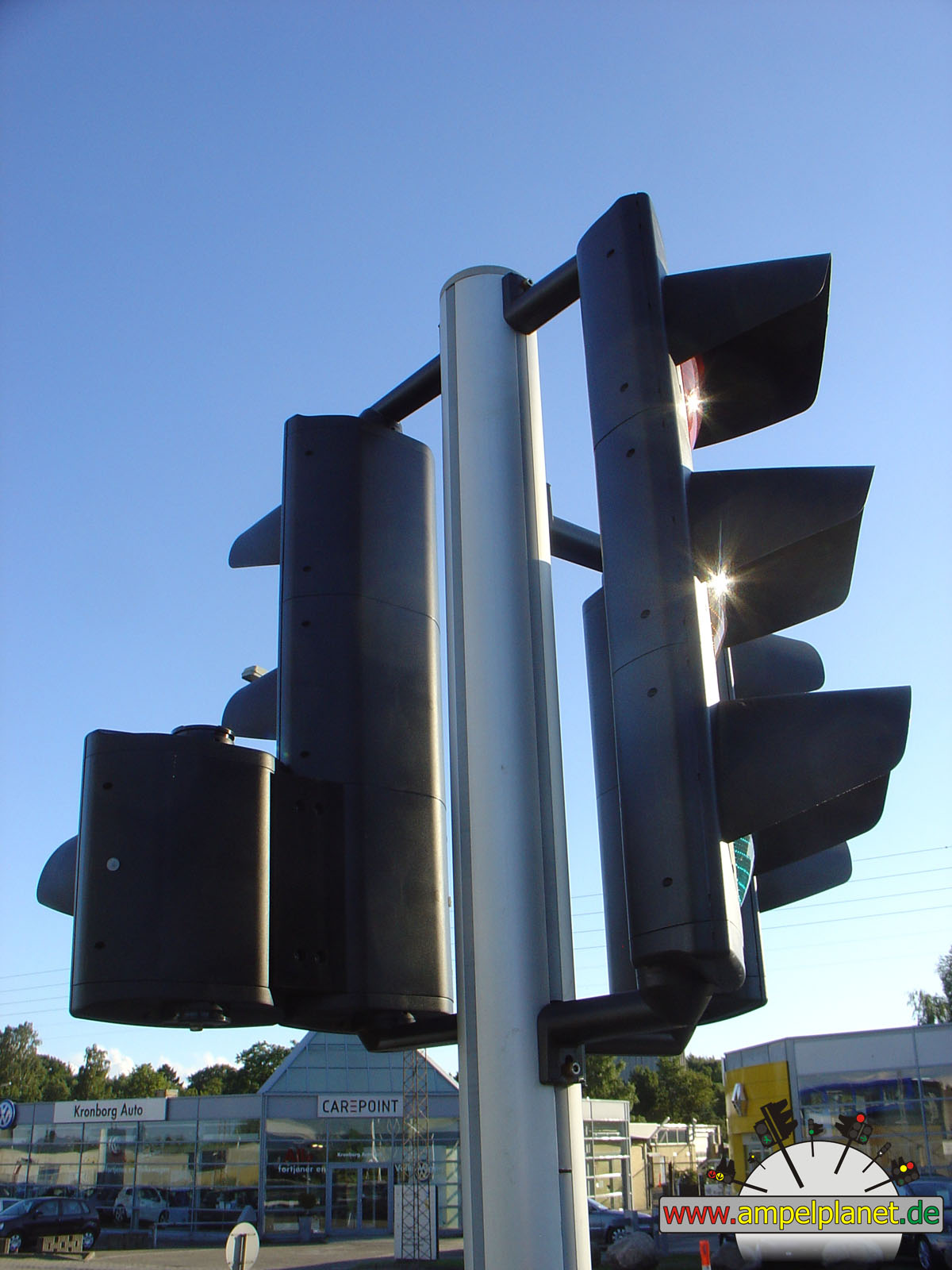
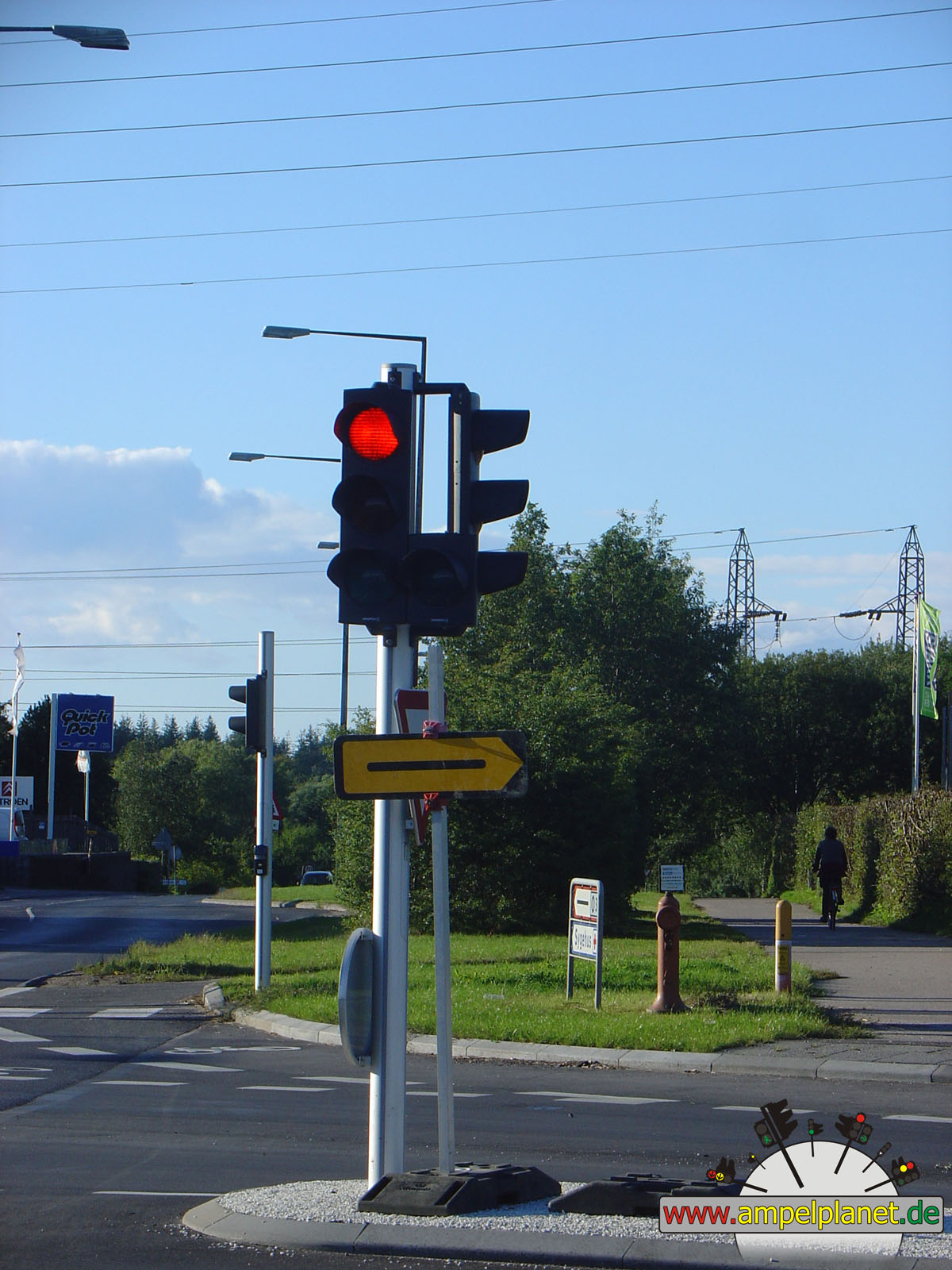
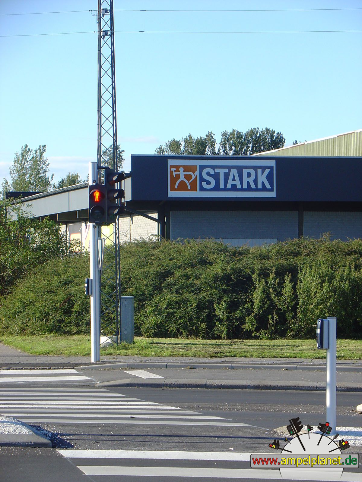
Fredensborg, 08/2010 |
|
|
|
|
|
||||
|
|
[6] Hesingørsvej / Endrupvej |
|
[6] Hesingørsvej / Endrupvej |
|
[6] Hesingørsvej / Endrupvej |
|
[6] Hesingørsvej / Endrupvej |
|
|
|||||||
|
|
[6] Hesingørsvej / Endrupvej |
||||||
|
|
|
|
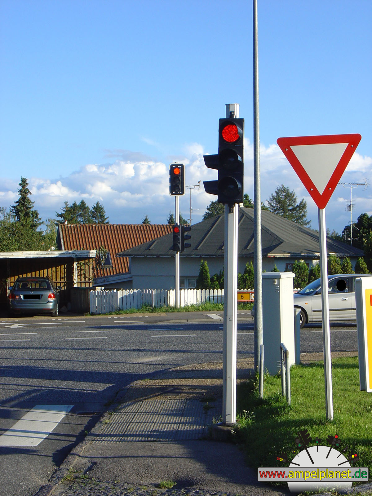
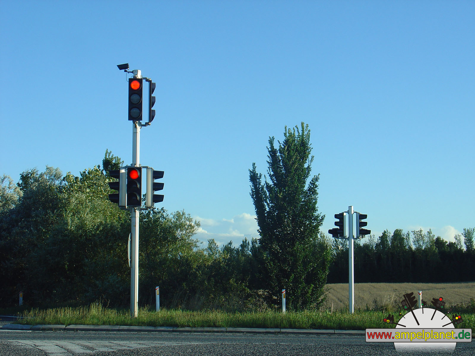
Helsingør, 08/2010 |
|
|
|
|
|
||||
|
|
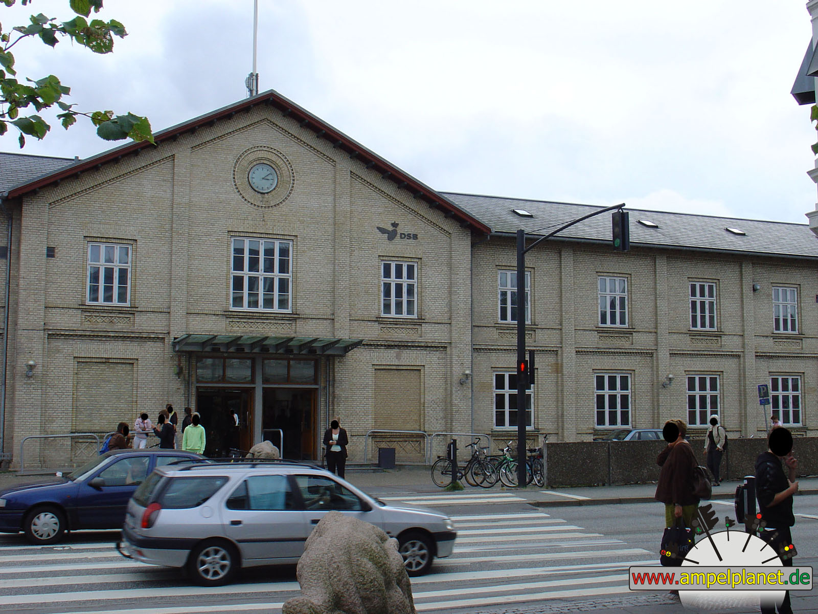
Jernbanevej |
|
Jernbanevej |
|
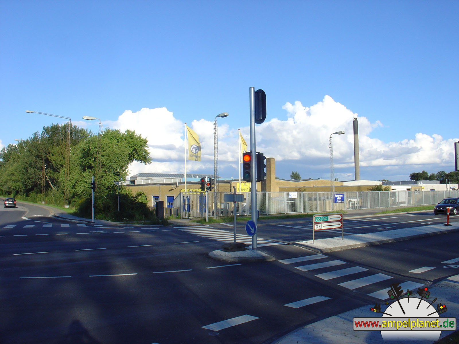
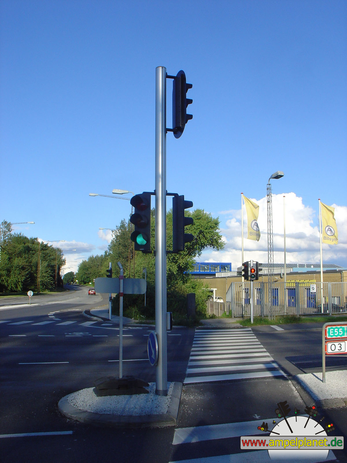
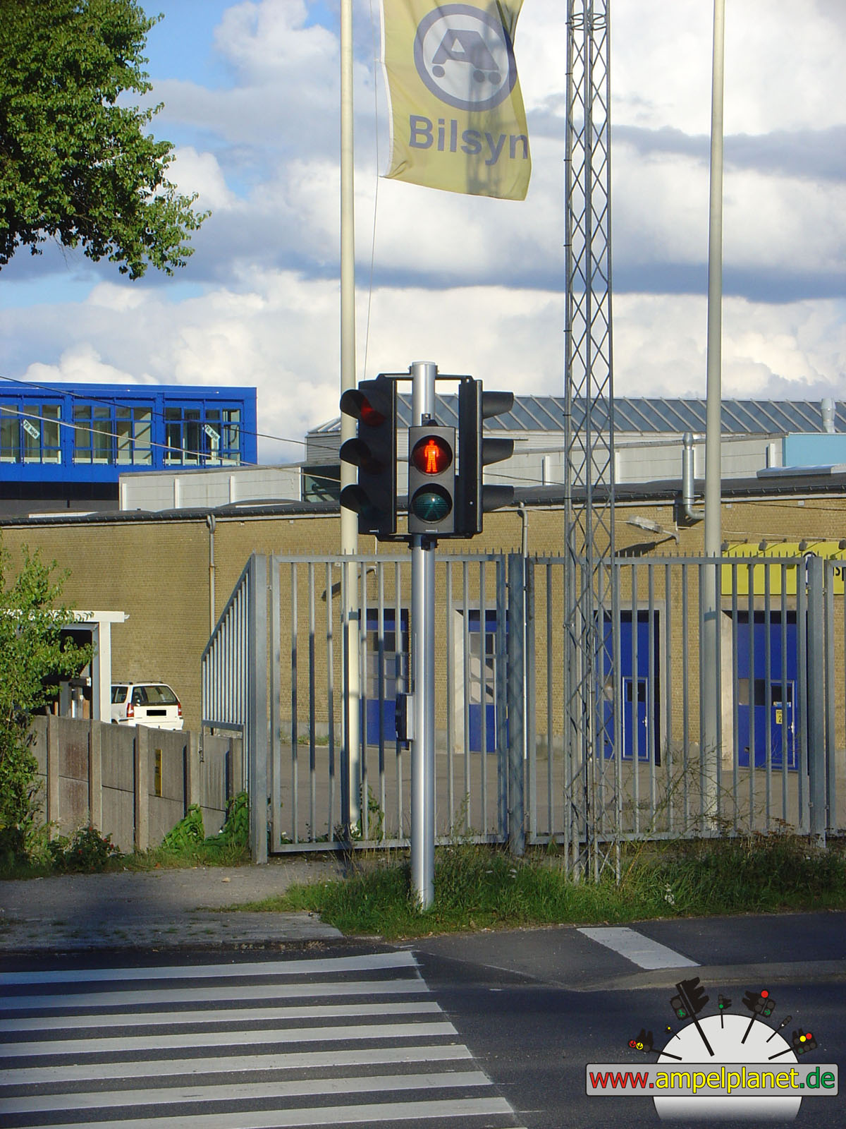
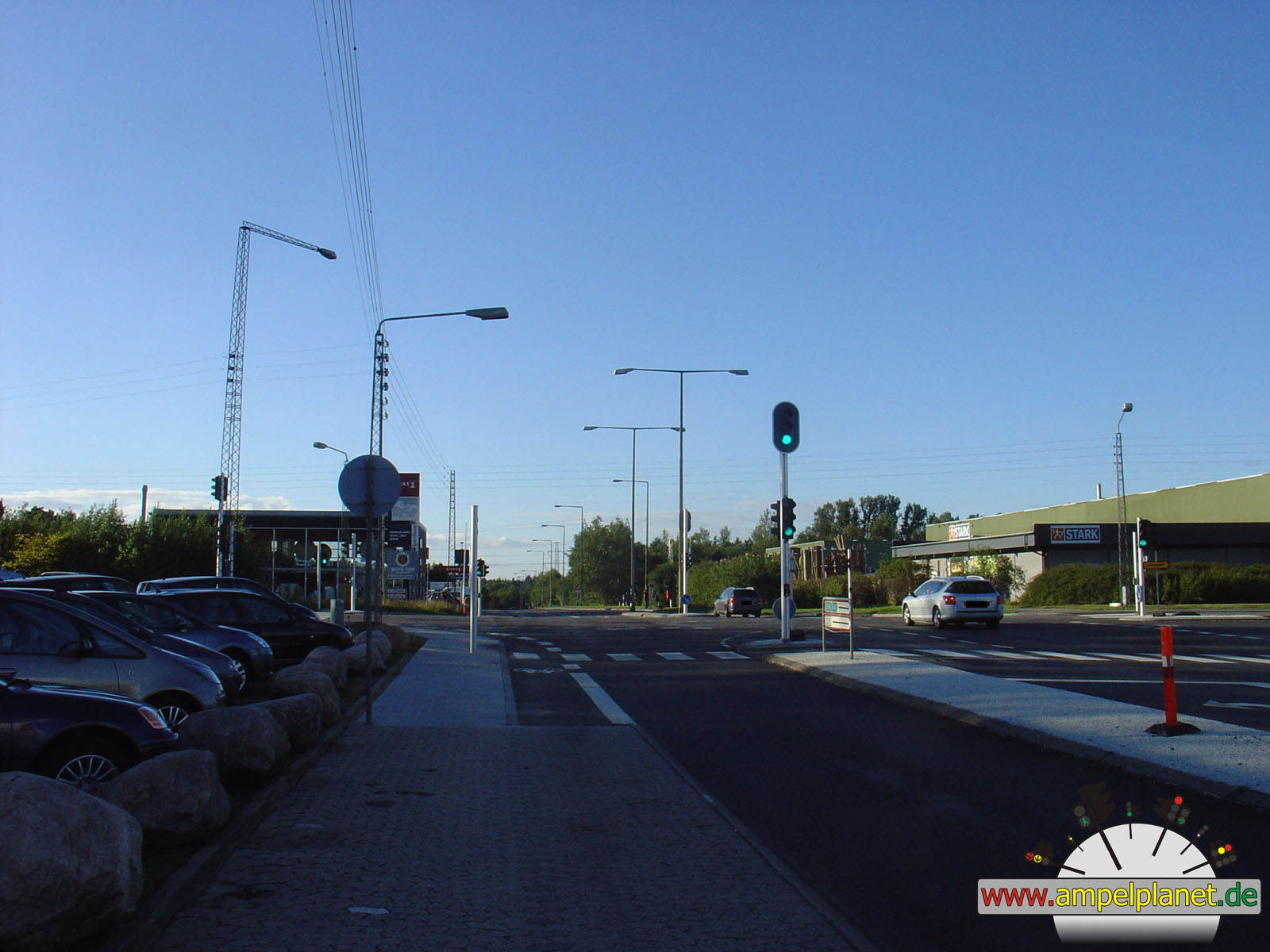
[O3] Klostermosevej / Gurrevej |
|
[O3] Klostermosevej / Gurrevej |
|
|
|
|
|
||||
|
|
[O3] Klostermosevej / Gurrevej |
|
[O3] Klostermosevej / Gurrevej |
|
[O3] Klostermosevej / Gurrevej |
|
[O3] Klostermosevej / Gurrevej |
|
|
|
|
|
||||
|
|
[O3] Klostermosevej / Gurrevej |
|
[O3] Klostermosevej / Gurrevej |
|
[O3] Klostermosevej / Gurrevej |
|
[O3] Klostermosevej / Gurrevej |
|
|
|
|
|||||
|
|
[O3] Klostermosevej / Gurrevej |
|
[O3] Klostermosevej / Gurrevej |
|
[O3] Klostermosevej / Gurrevej |
||
|
|
|
|
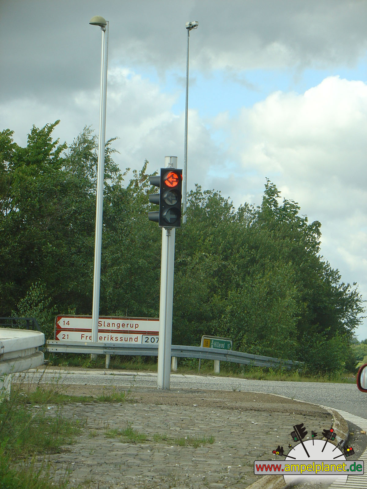
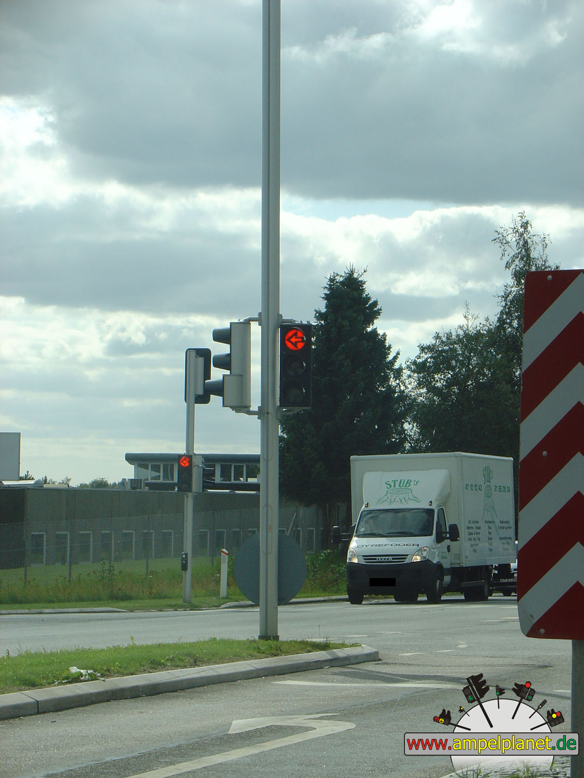
Farum, 08/2010 |
|
|
|
|
|||||
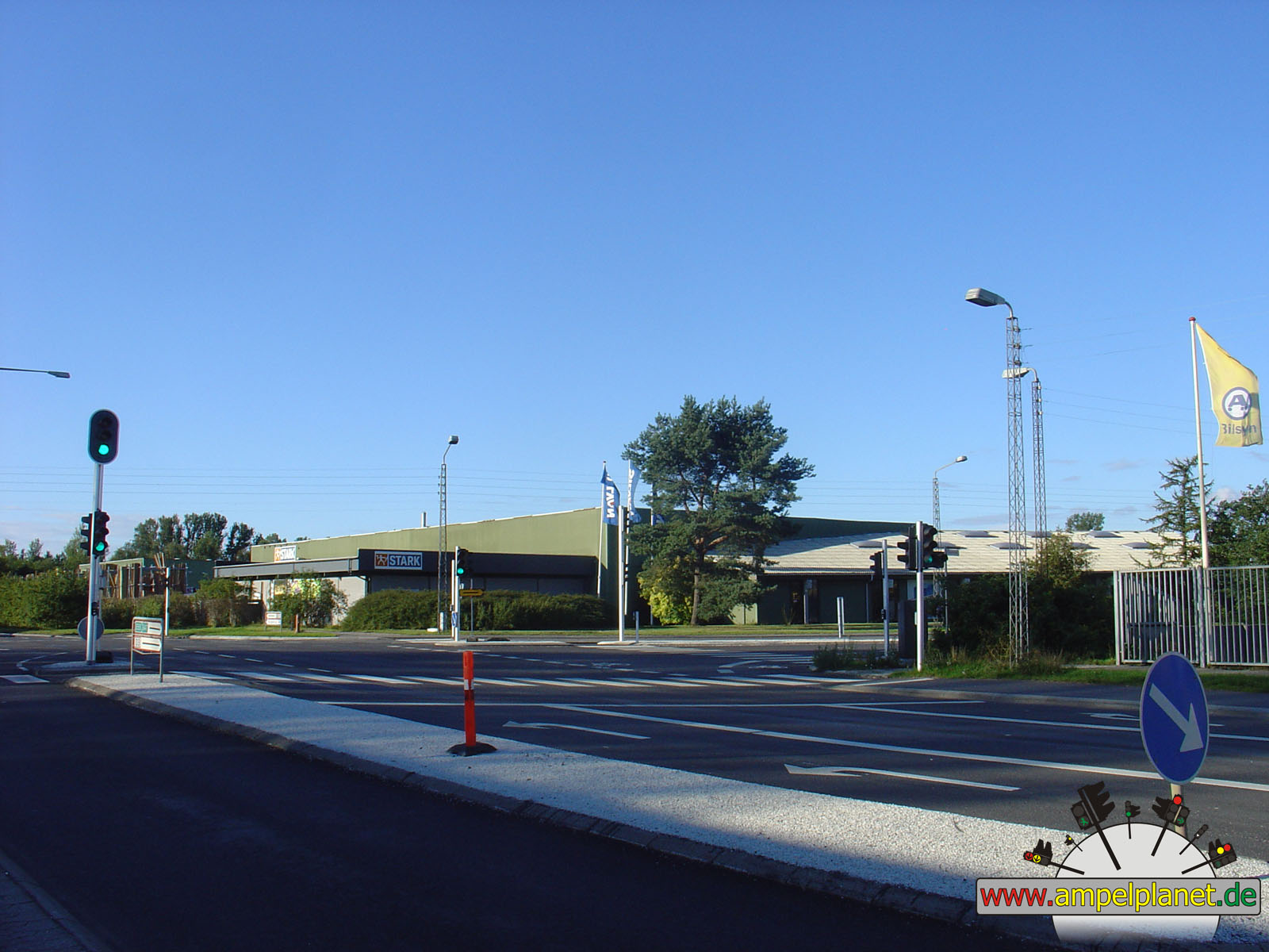
|
|
[16] Hillerødmotorvejen (Udkørsel 10) / [207] Slagerupvej |
|
[16] Hillerødmotorvejen (Udkørsel 10) / [207] Slagerupvej |
||||
|
|
|
|
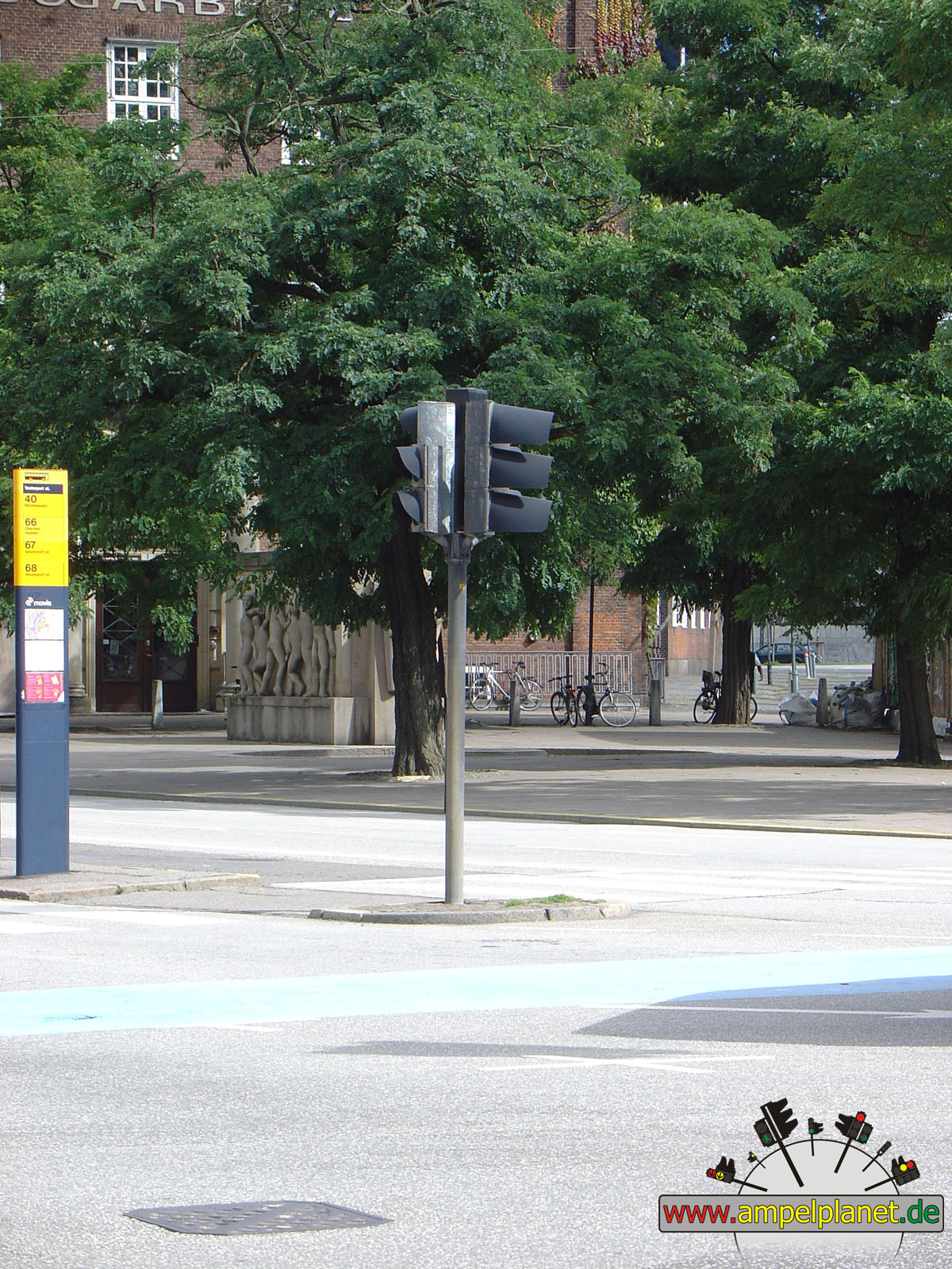
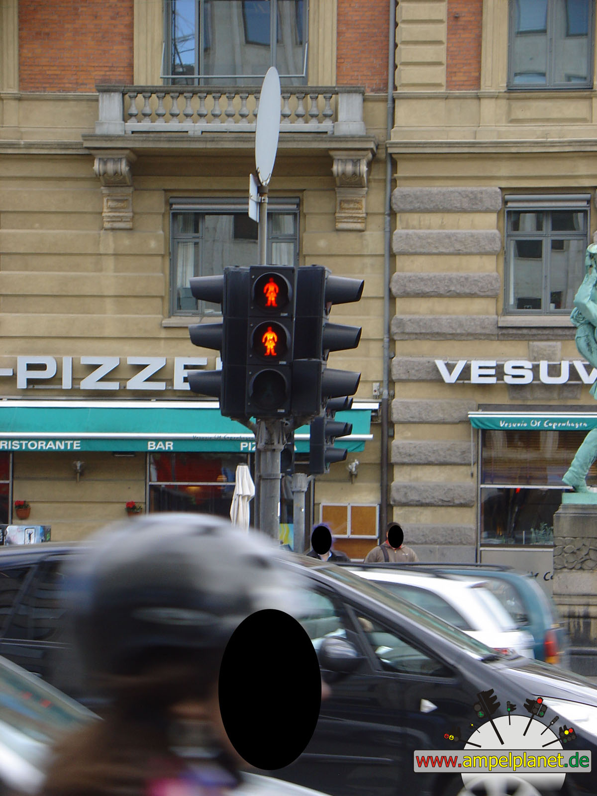
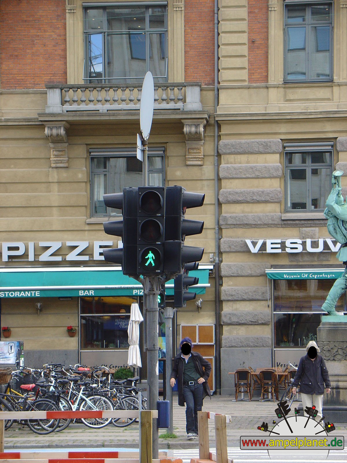
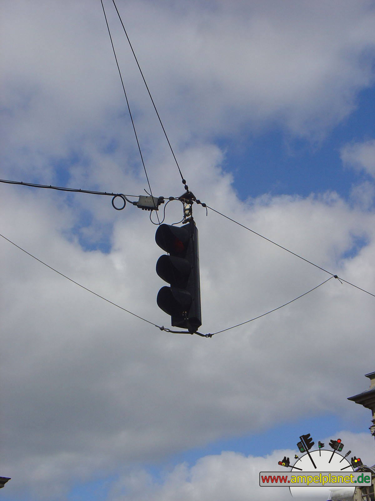
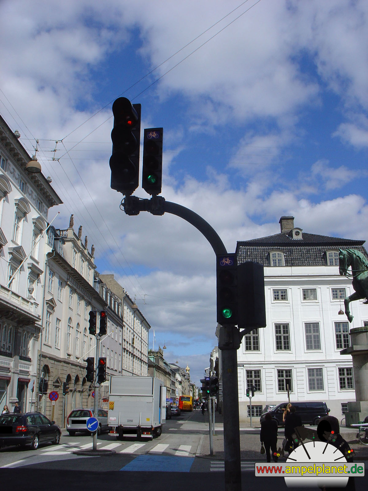
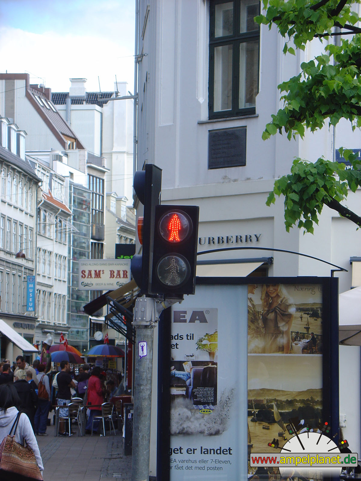
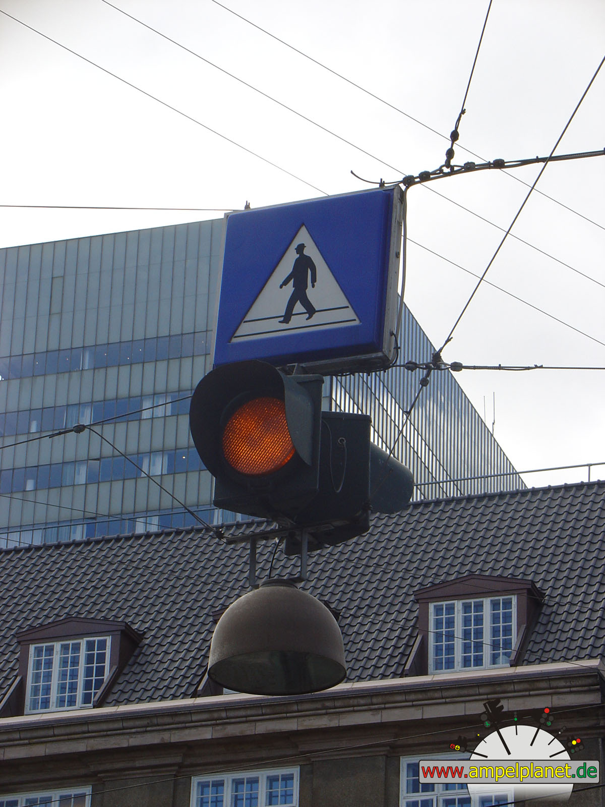
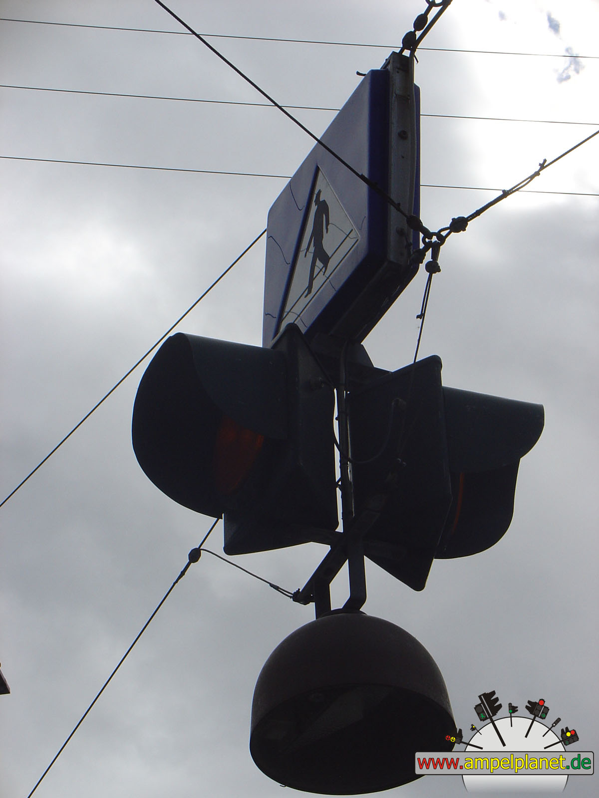
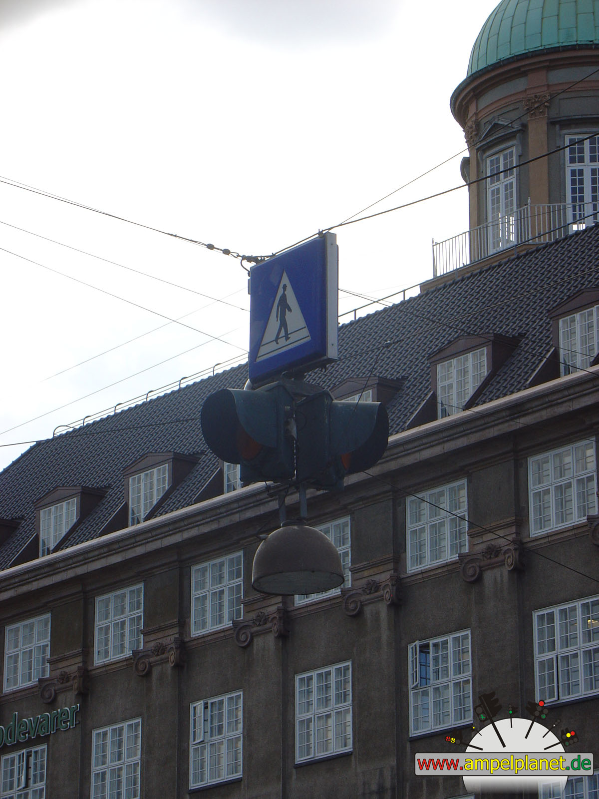
København, 08/2010 |
|
|
|
|
|
||||
|
|
Vester Farimagsgade / Kampmannsgade / Vandværksviadukten |
|
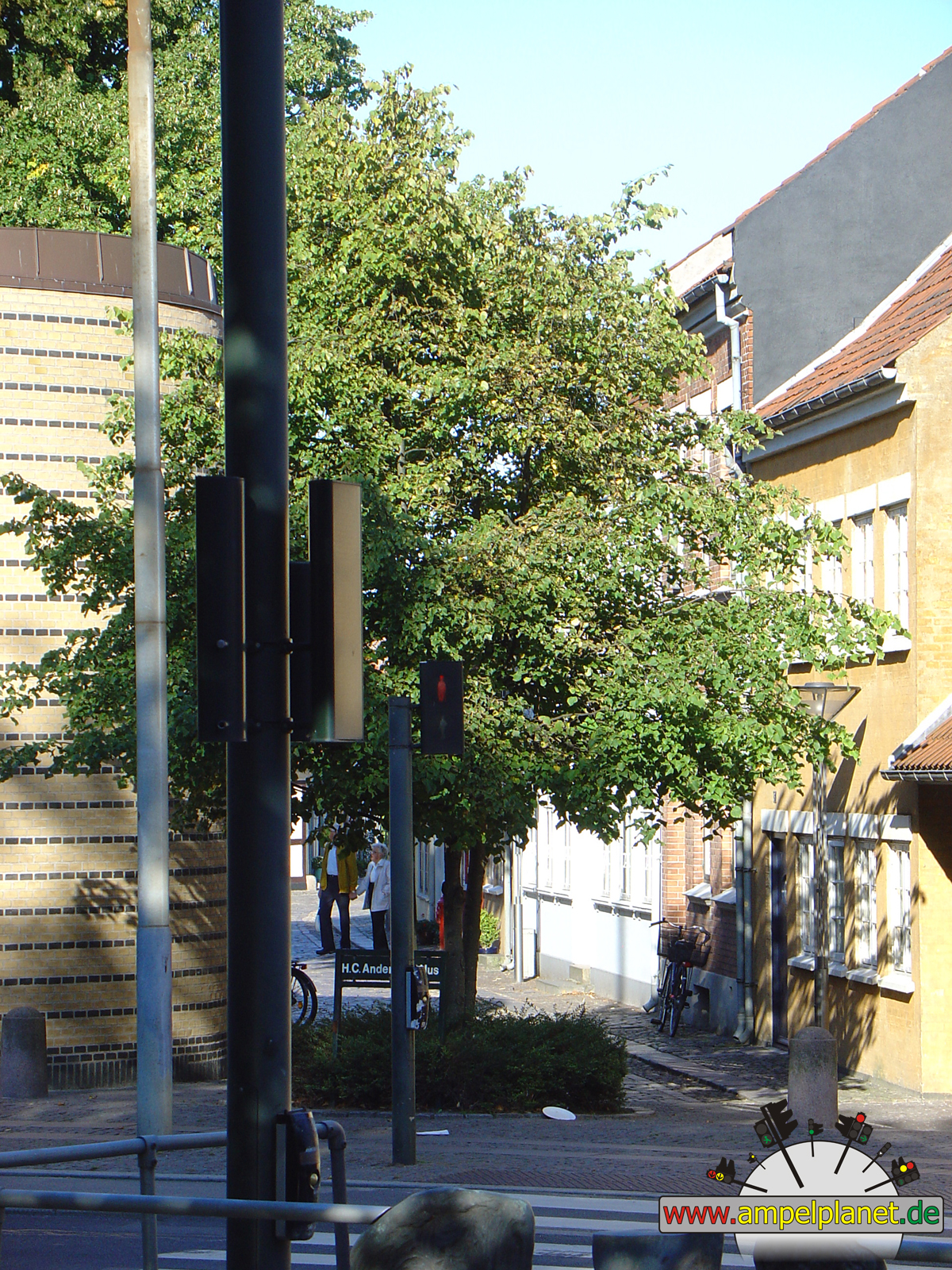
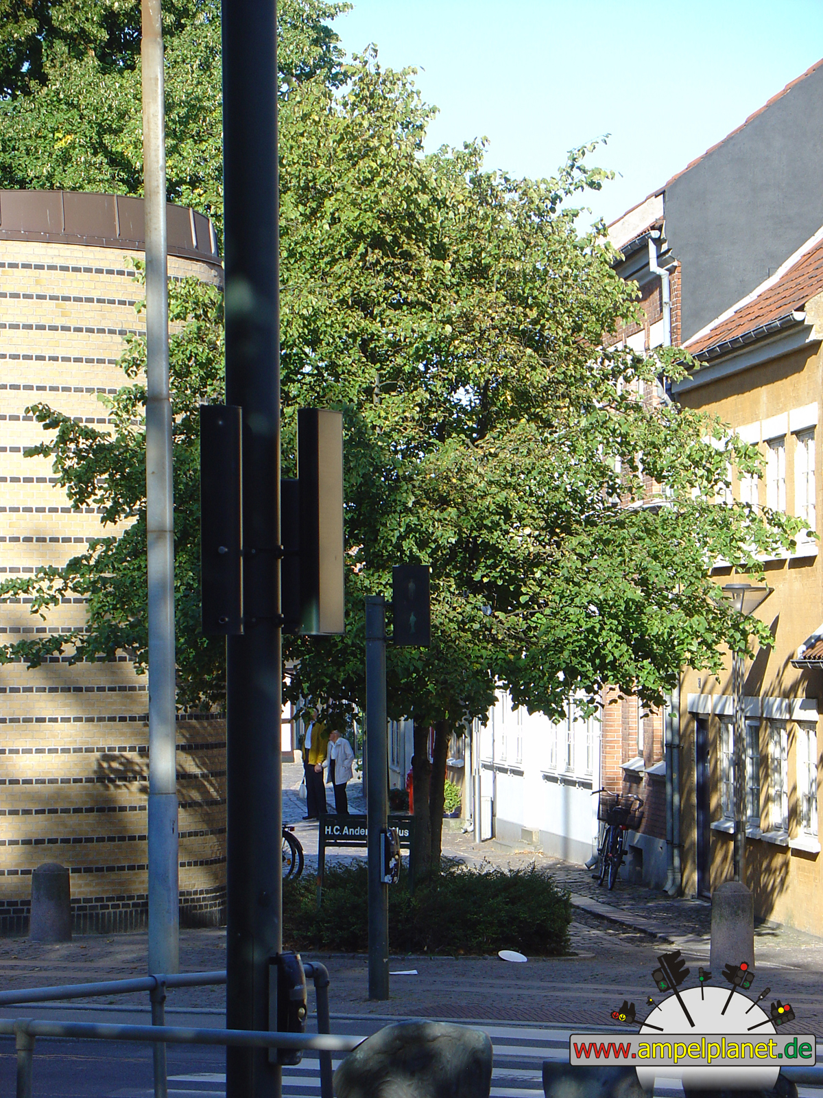
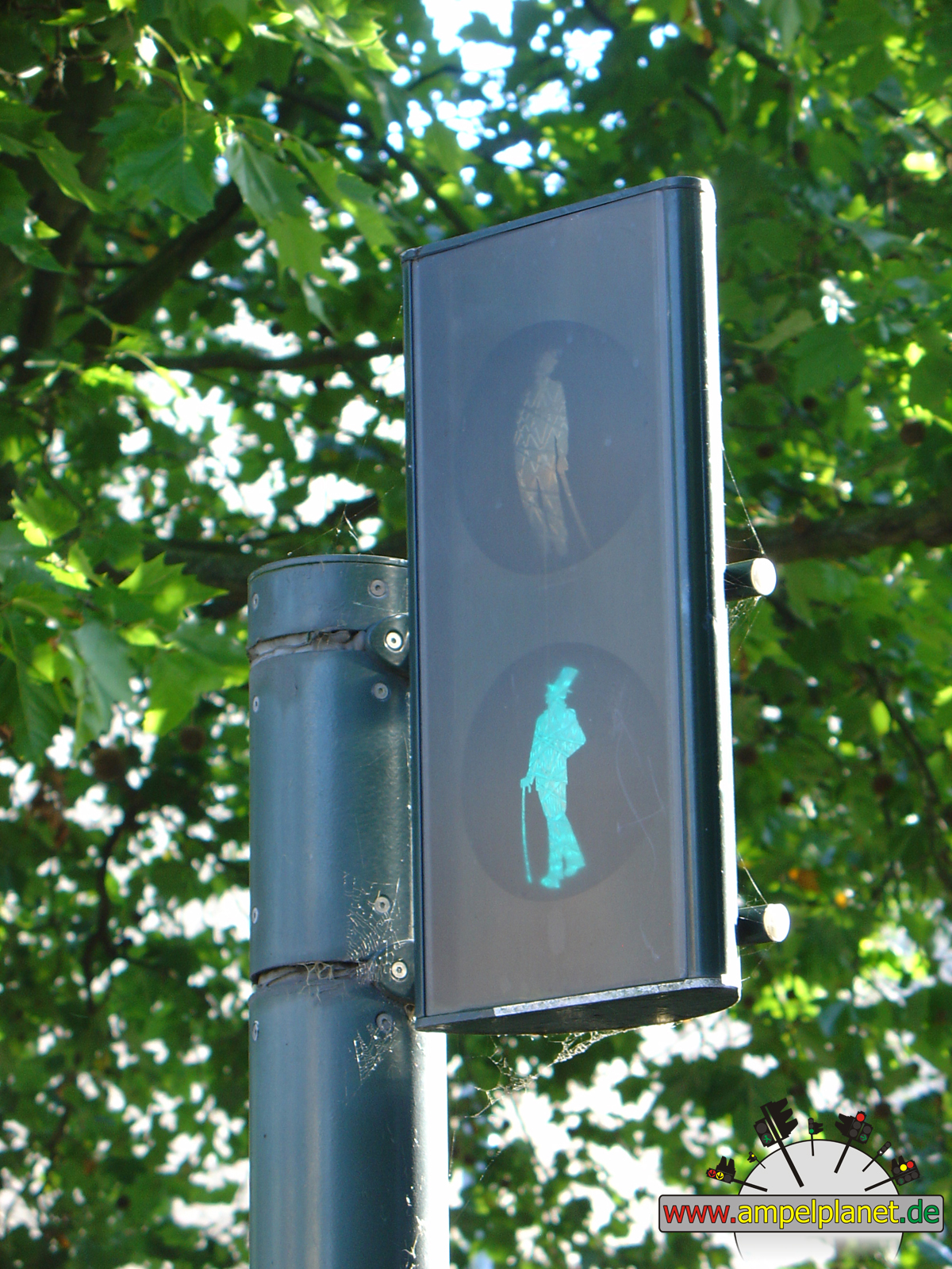
H. C. Andersens Boulevard / Jernbanegade |
|
H. C. Andersens Boulevard / Jernbanegade |
|
[O2] Bredgade / Frederiksgade |
|
|
|
|
|
||||
|
|
[O2] Bredgade / Sankt Annæ Plads |
|
Kristen Bernikows Gade / Østergade |
|
Jernbanegade |
|
Jernbanegade |
|
|
|
|
|
||||
|
|
Jernbanegade |
|
Hammerichsgade / Jernbanegade / Ved Vesterport |
|
Vester Farimagsgade / Ved Vesterport |
|
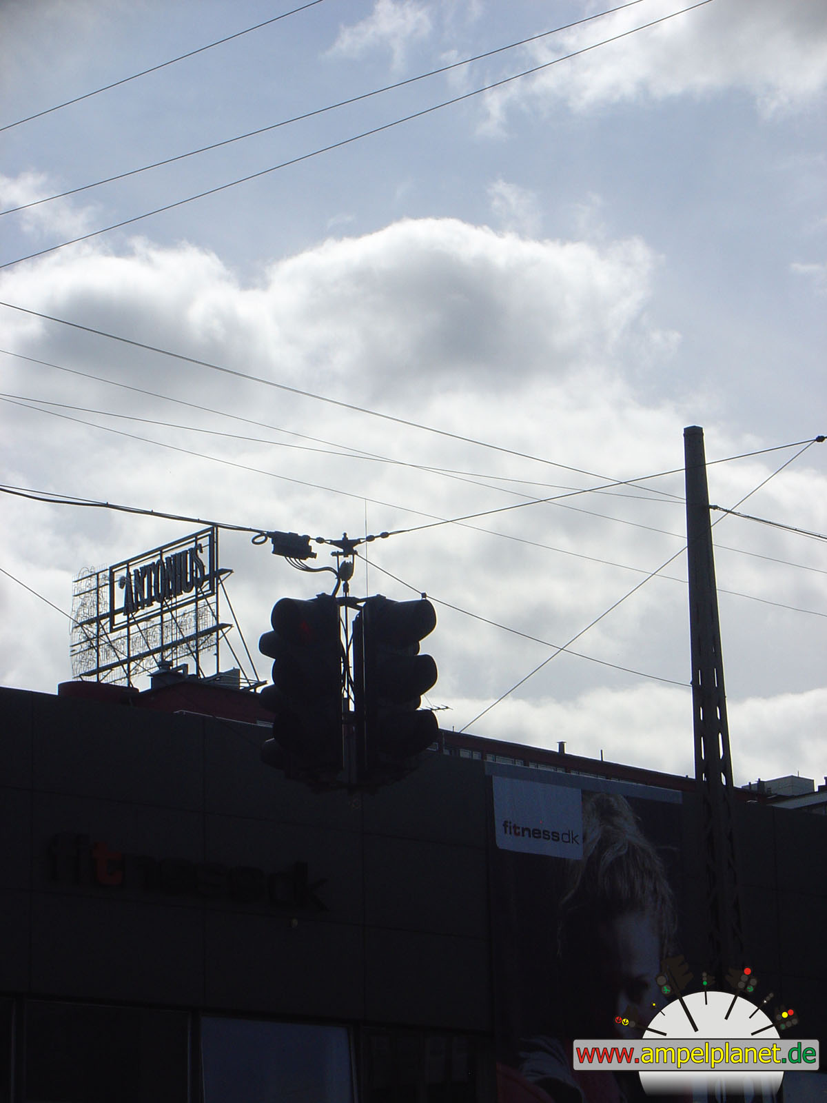
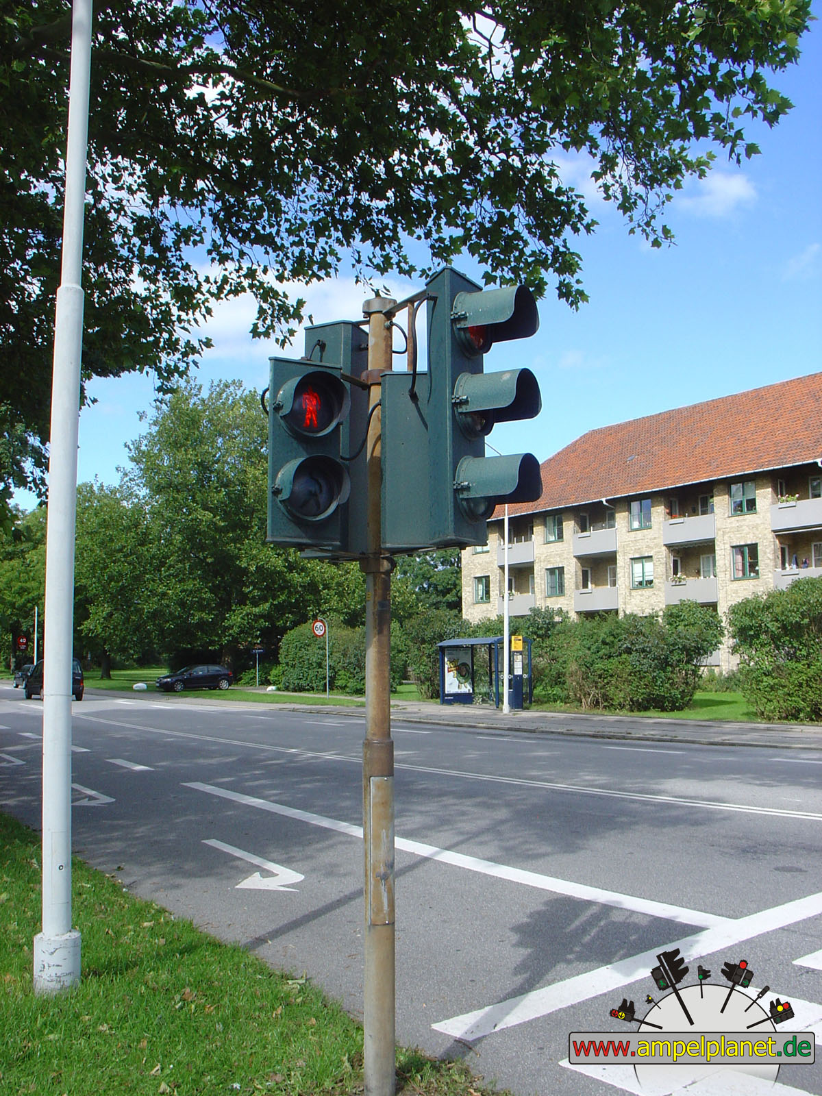
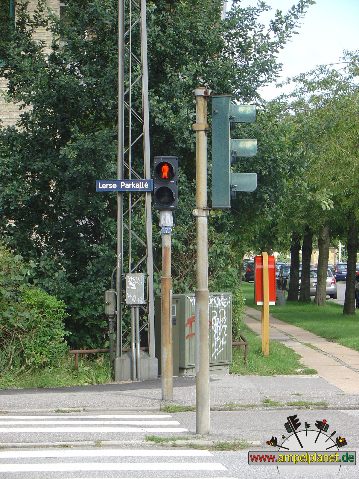
Lersø Parkallé / Gribskovvej / Klædemålet |
|
|
|
|
|
||||
|
|
Lersø Parkallé / Gribskovvej / Klædemålet |
|
Lersø Parkallé / Gribskovvej / Klædemålet |
|
Lersø Parkallé / Gribskovvej / Klædemålet |
|
[O2] Tuborgvej / Emdrupvej |
 |
 |
|
|||||
|
|
[O2] Tuborgvej / Emdrupvej |
|
[O2] Tuborgvej / Emdrupvej | ||||
|
|
|
|
Fårevejle, 08/2010 |
|
|
|
|
|
||||
|
|
[225] Høvevej |
|
[225] Høvevej |
|
[225] Høvevej |
|
[225] Høvevej |
|
|
|||||||
|
|
[225] Høvevej |
||||||
|
|
|
|
Kalundborg, 08/2010 |
|
|
|
|
|
||||
|
|
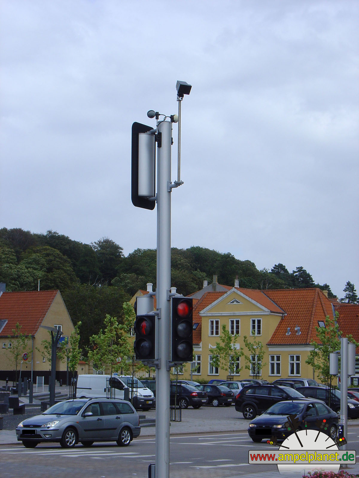
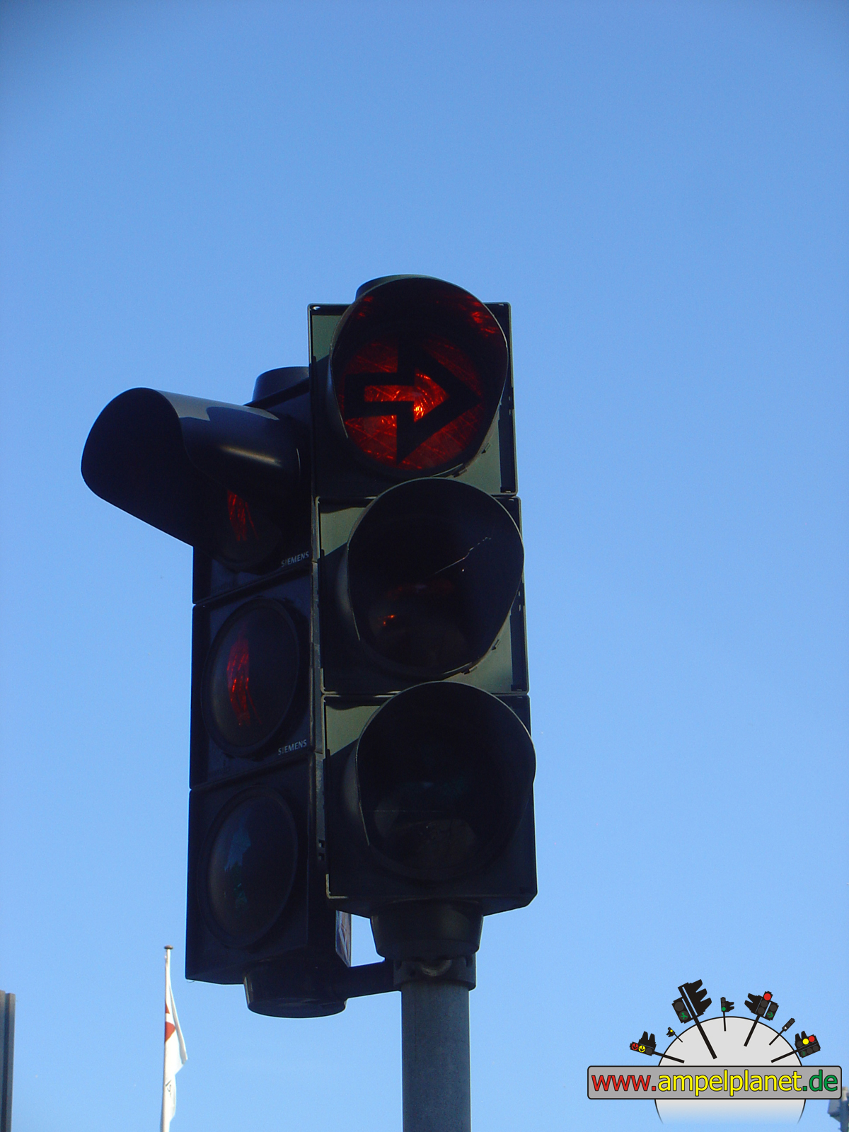
[22] Vestre Havnevej / Vestre Havneplads |
|
Bredgade / Vænget |
|
J. Hagemann-Petersens Allé / Klosterparkvej / Torvet / Volden |
|
J. Hagemann-Petersens Allé / Klosterparkvej / Torvet / Volden |
|
|
 |
 |
 |
||||
|
|
J. Hagemann-Petersens Allé / Klosterparkvej / Torvet / Volden |
|
J. Hagemann-Petersens Allé / Klosterparkvej / Torvet / Volden |
|
J. Hagemann-Petersens Allé / Klosterparkvej / Torvet / Volden |
|
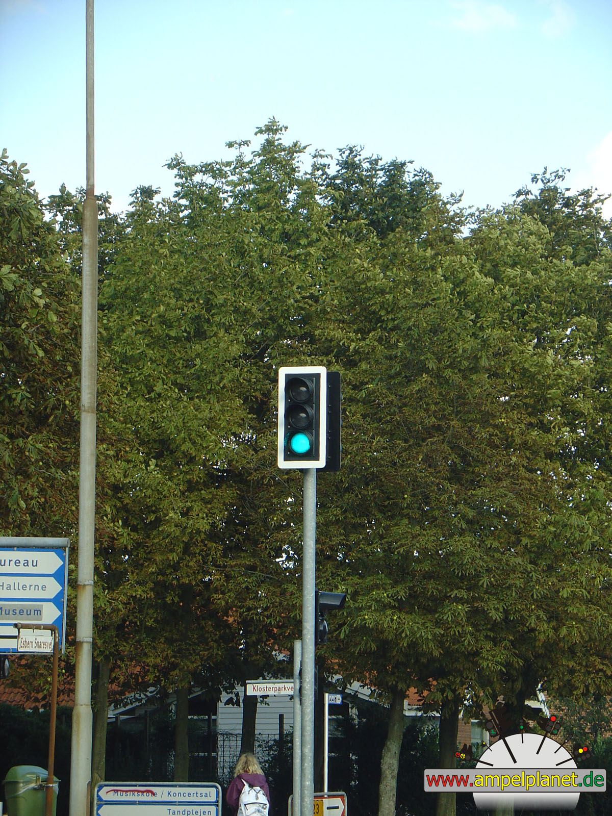
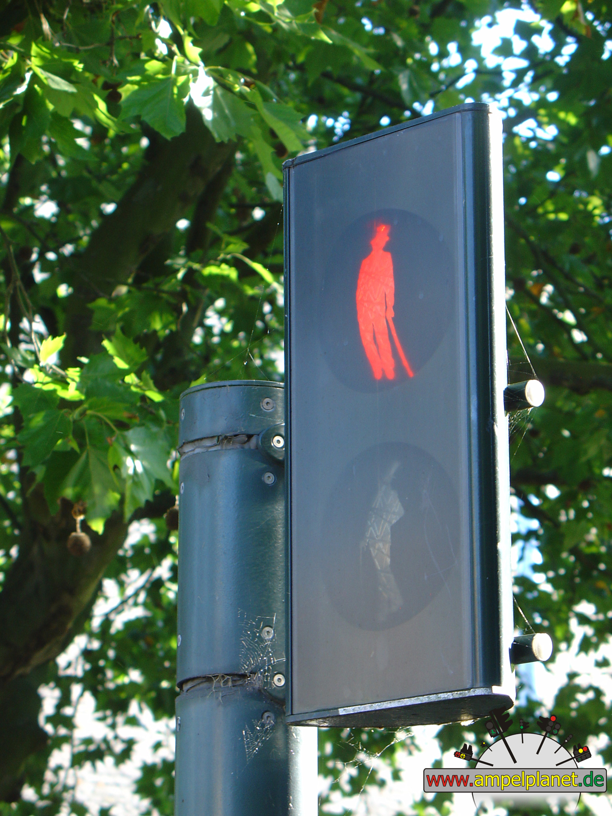
Esbern Snaresvej / Klosterparkvej |
|
|
|
|
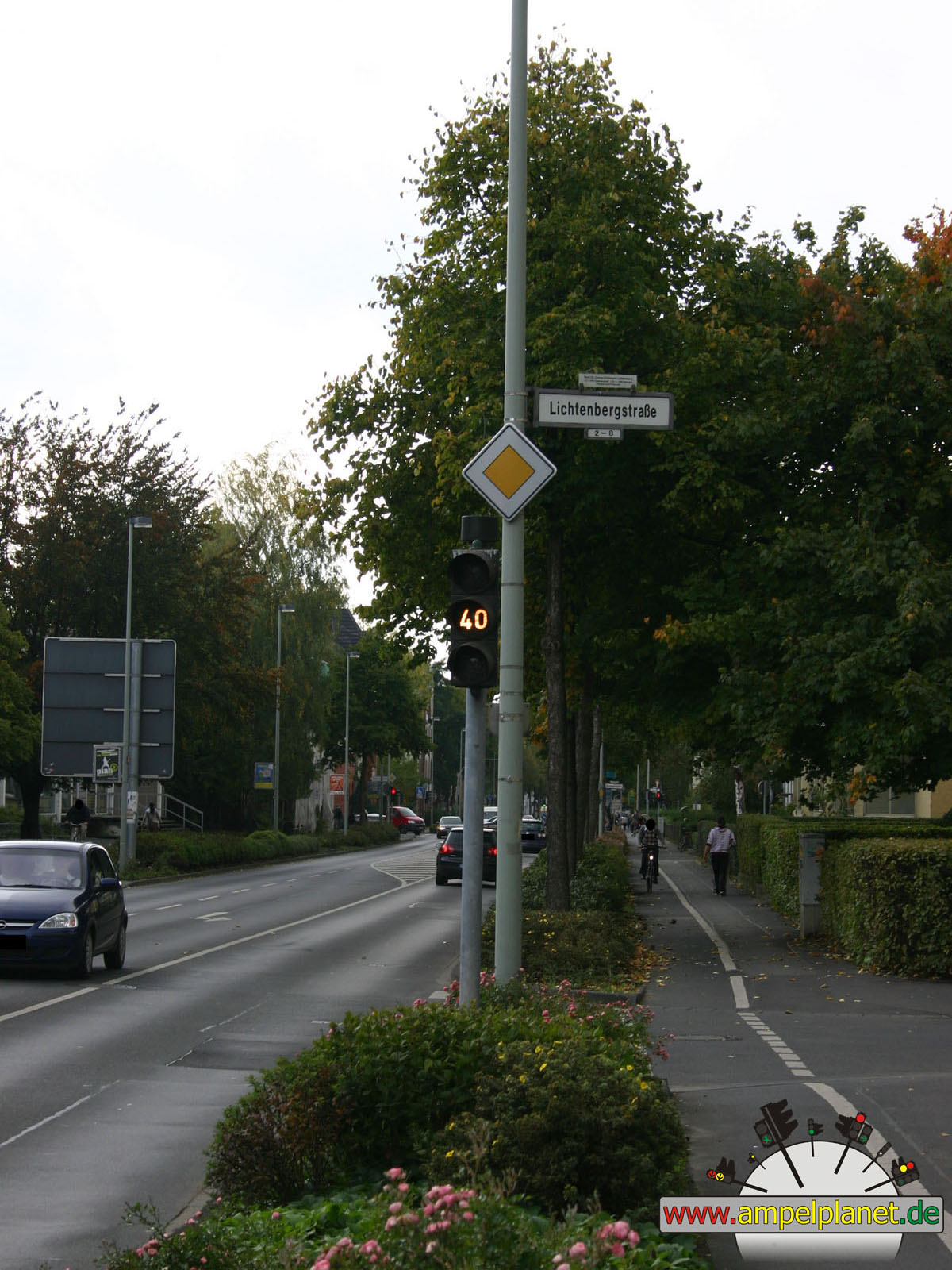
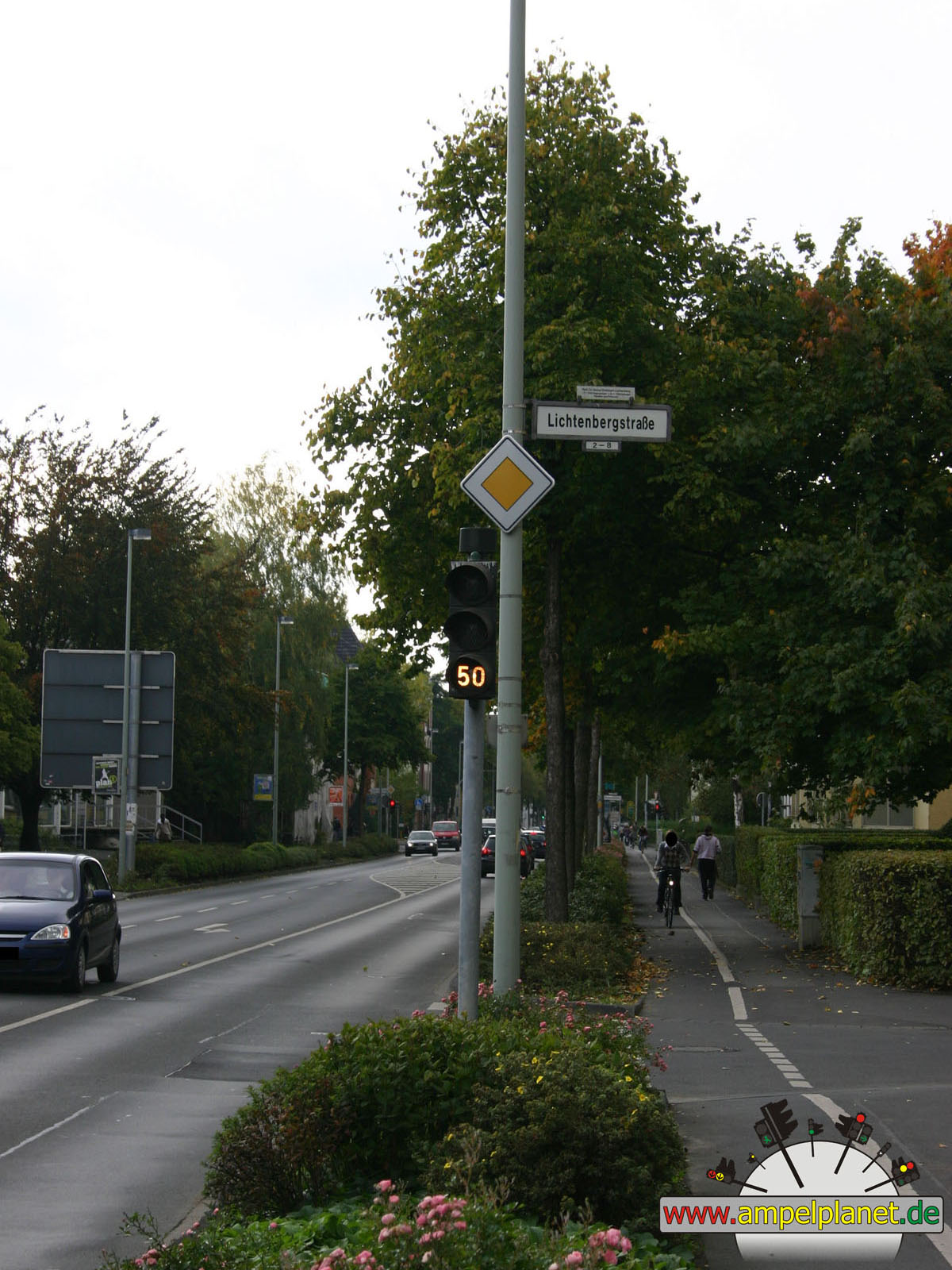
Göttingen, 10/2009 |
|
|
|
|
|||||
|
|
Kreuzbergring / Lichtenbergstraße |
|
Kreuzbergring / Lichtenbergstraße |
|
Kreuzbergring / Lichtenbergstraße |
||
|
|
|
|
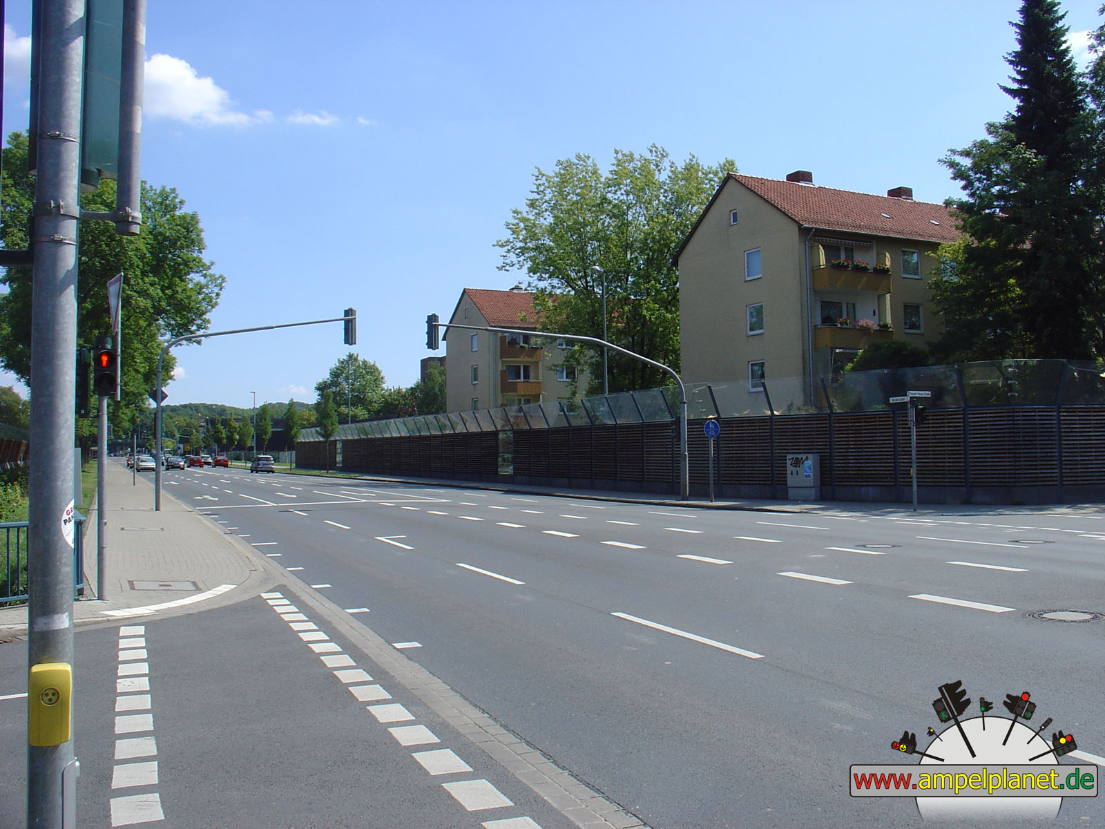
Göttingen, 08/2009 |
|
|
|
|
|
||||
|
|
[B27] An der Lutter / Kaakweg / Theodor-Heuss-Straße |
|
[B3] [B27] Hannoversche Straße / Grüner Weg |
|
[B3] [B27] Hannoversche Straße / Grüner Weg |
|
[B3] [B27] Hannoversche Straße / Daimlerstraße |
|
|
|
|
|
||||
|
|
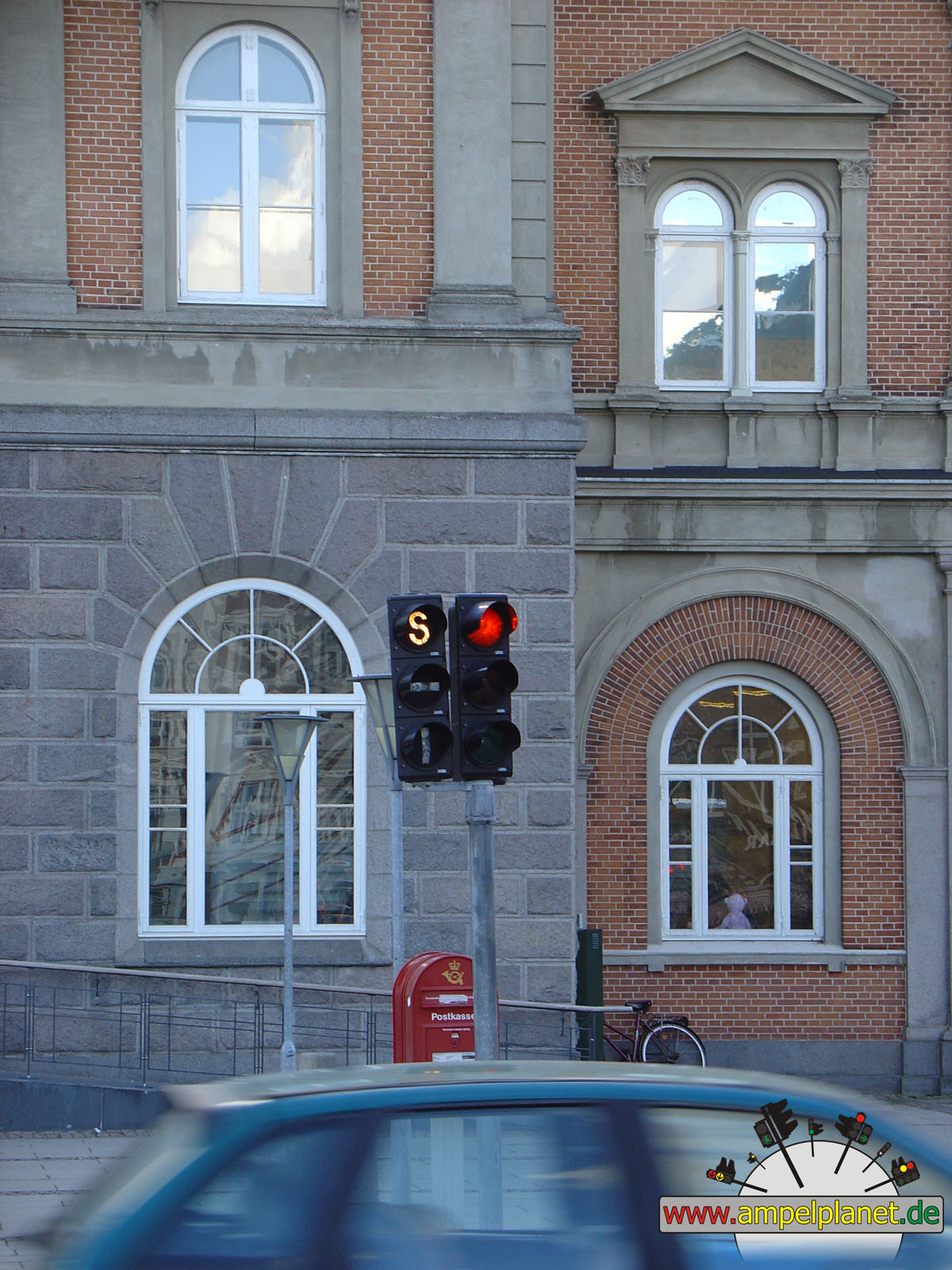
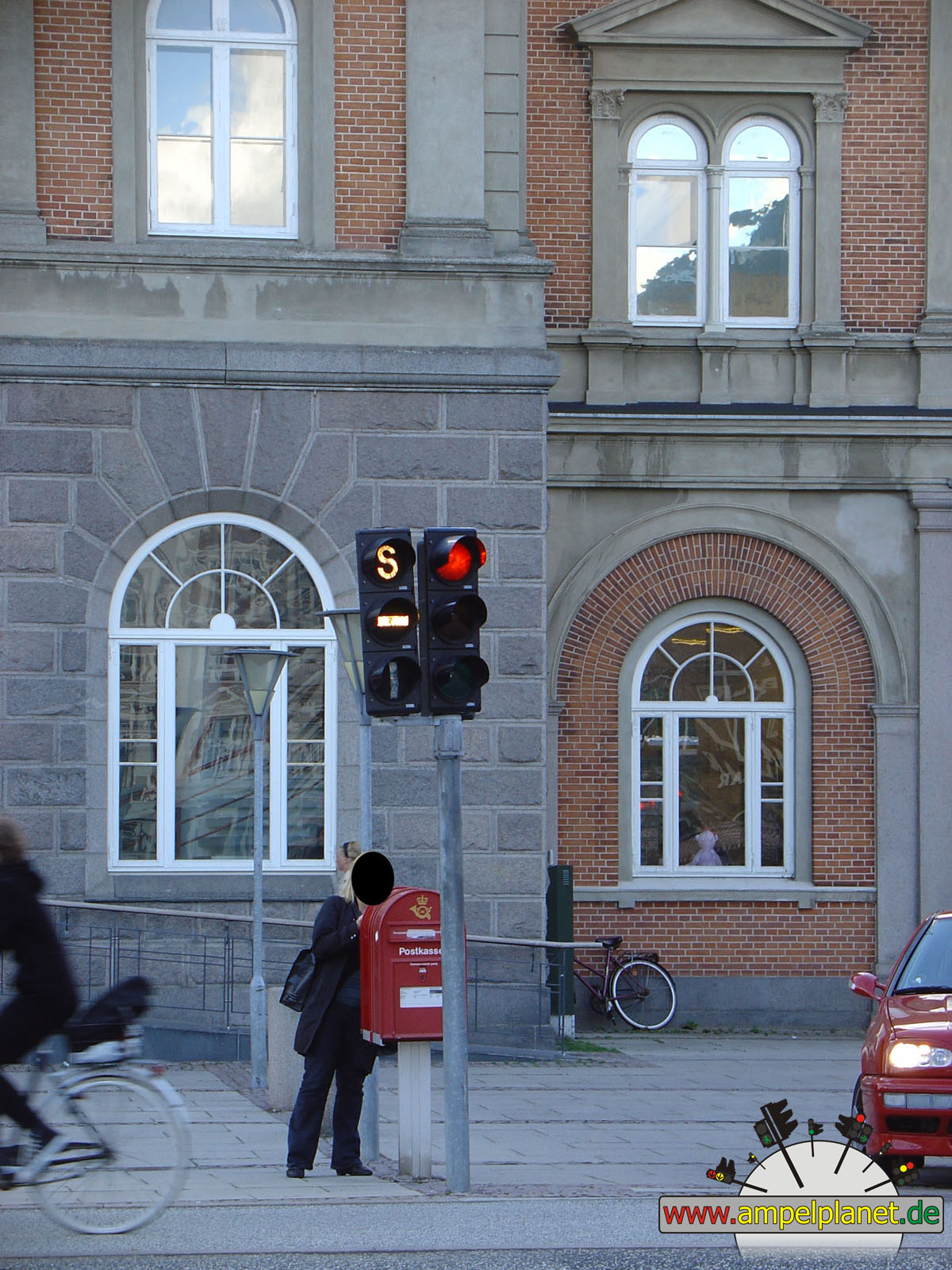
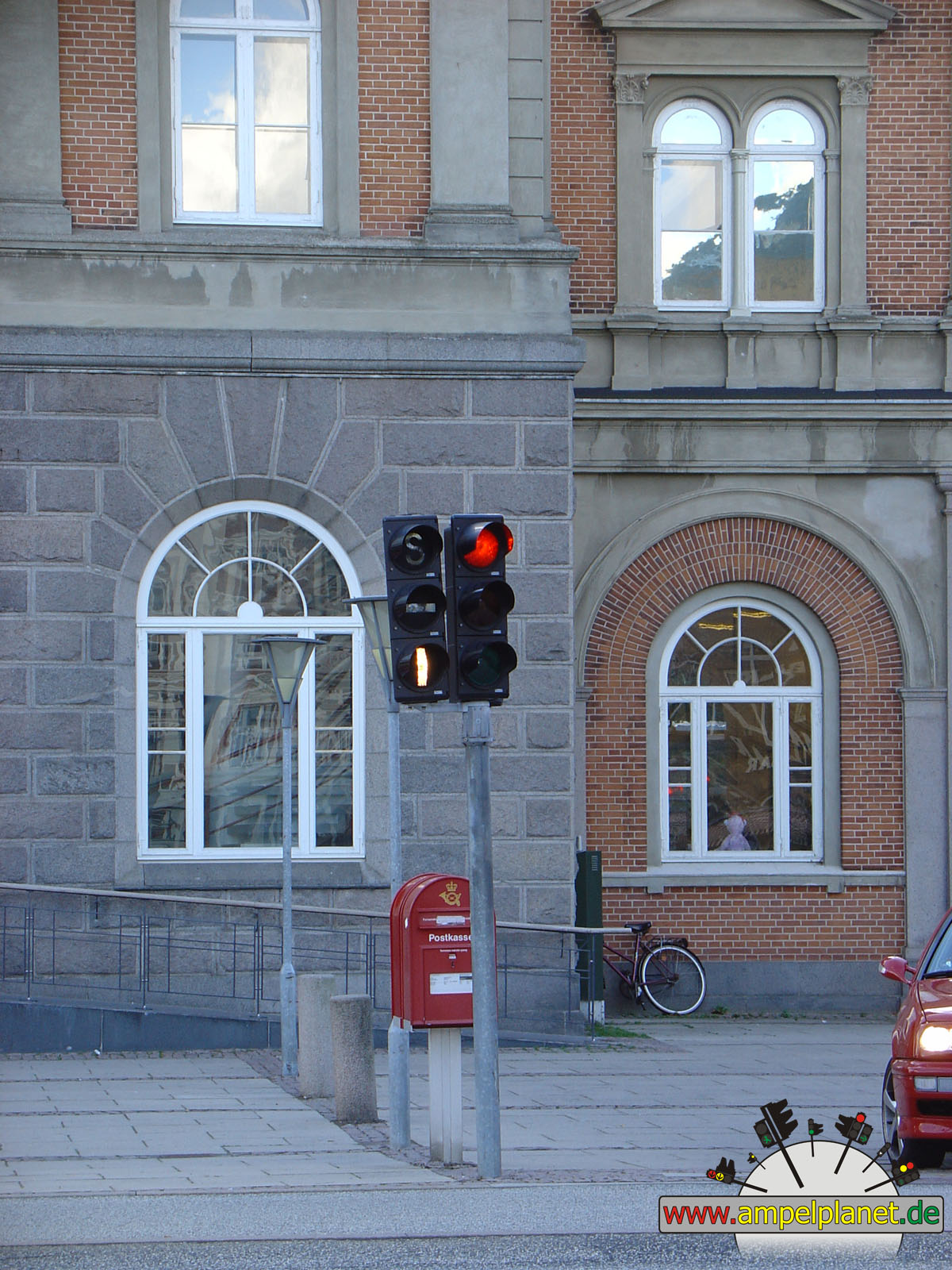
[B3] [B27] Hannoversche Straße / Daimlerstraße |
|
[B3] [B27] Hannoversche Straße / Daimlerstraße |
|
[B3] [B27] Hannoversche Straße / Daimlerstraße |
|
[B3] [B27] Hannoversche Straße / Daimlerstraße |
|
|
|||||||
|
|
[B3] [B27] Hannoversche Straße / Daimlerstraße |
||||||
|
|
|
|
Odense, 08/2008 |
|
|
|
|
|
||||
|
|
Thomas B. Thriges Gade |
|
Thomas B. Thriges Gade |
|
Thomas B. Thriges Gade |
|
Thomas B. Thriges Gade |
|
|
 |
 |
|||||
|
|
Thomas B. Thriges Gade |
|
Thomas B. Thriges Gade |
|
Thomas B. Thriges Gade / Nørregade |
||
|
|
|
|
Middelfart, 08/2008 |
|
|
|
 |
 |
||||
|
|
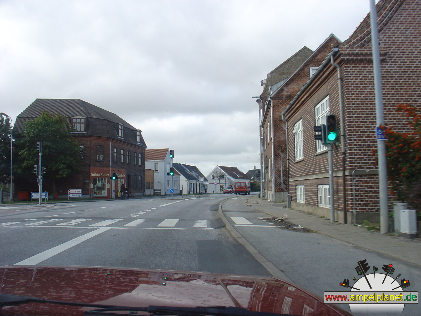
[E20] Fynske Motorvej (Udkørsel 58) / Jyllandsvej |
|
[E20] Fynske Motorvej (Udkørsel 58) / Jyllandsvej |
|
[E20] Fynske Motorvej (Udkørsel 58) / Jyllandsvej |
|
[E20] Fynske Motorvej (Udkørsel 58) / Jyllandsvej |
|
|
|||||||
|
|
[E20] Fynske Motorvej (Udkørsel 58) / Jyllandsvej |
||||||
|
|
|
|
Fredericia, 08/2008 |
|
|
|
|
|
||||
|
|
Købmagergade / Prinsensgade |
|
Købmagergade / Prinsensgade |
|
Danmarksgade / Danmarks Port / Vester Voldgade |
|
Danmarksgade / Danmarks Port / Vester Voldgade |
|
|
|||||||
|
|
Danmarksgade / Danmarks Port / Vester Voldgade |
||||||
|
|
|
|
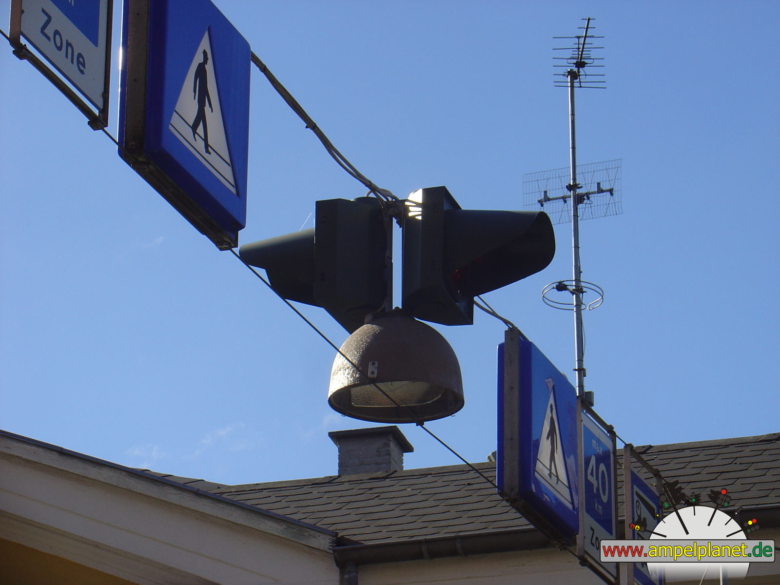
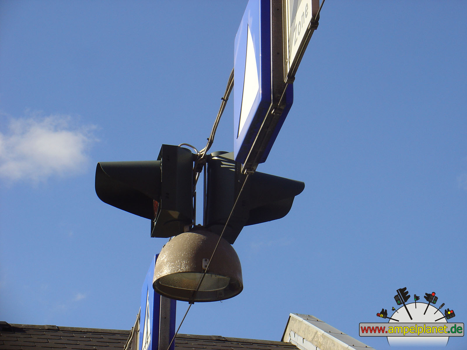
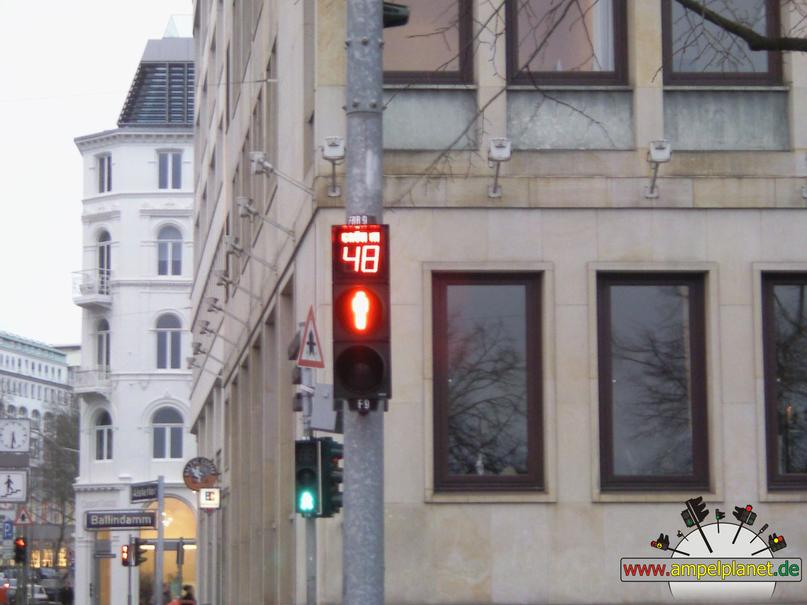
Hamburg, 03/2008 |
|
|
|
|
|||||
|
|
Ballindamm / Alstertor |
|
Ballindamm / Alstertor |
|
Ballindamm / Alstertor |
||
|
|
|
|
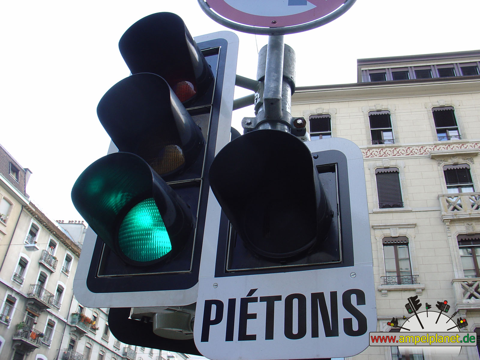
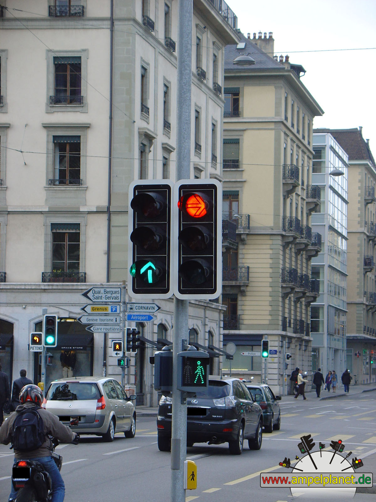
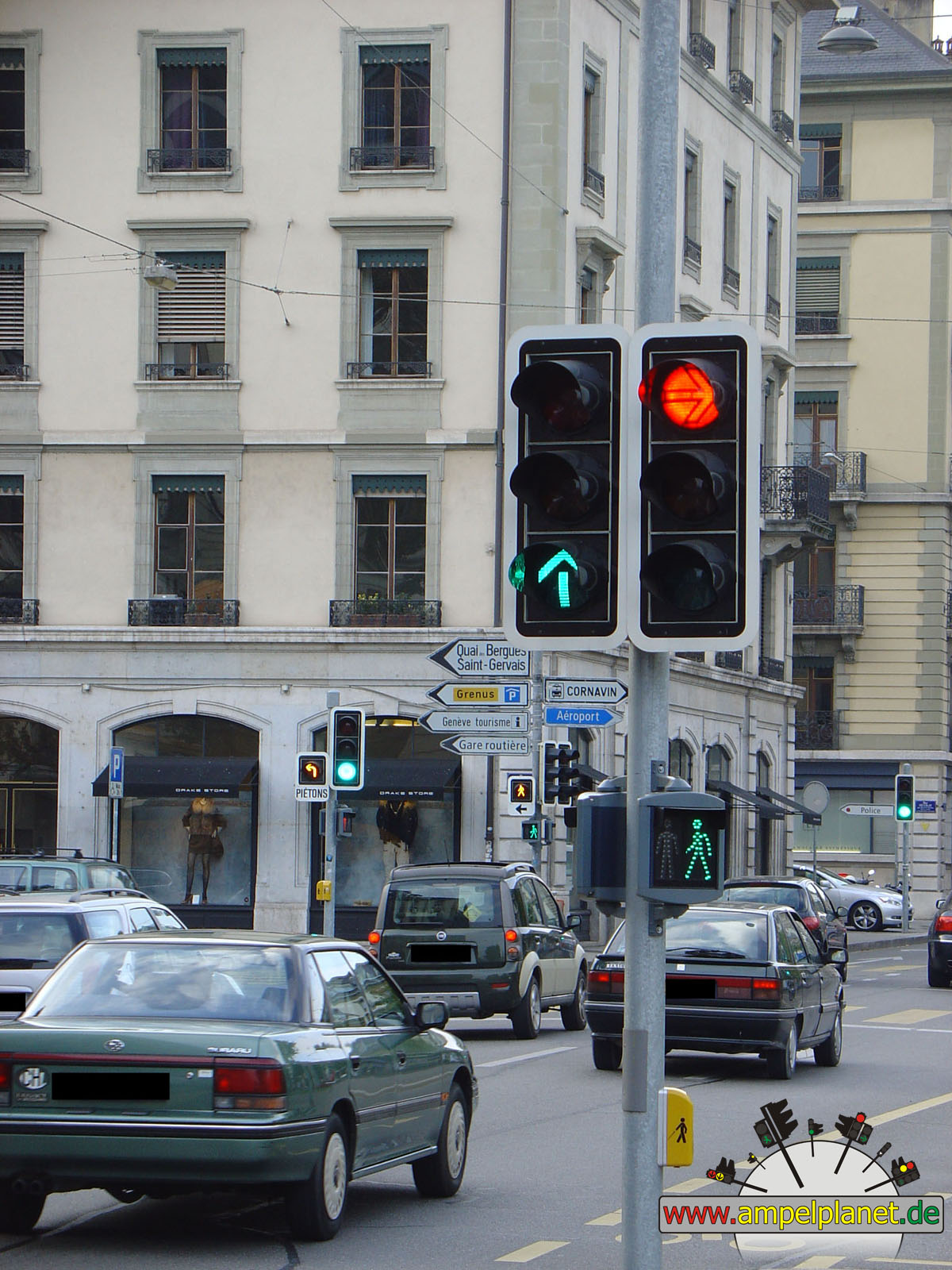
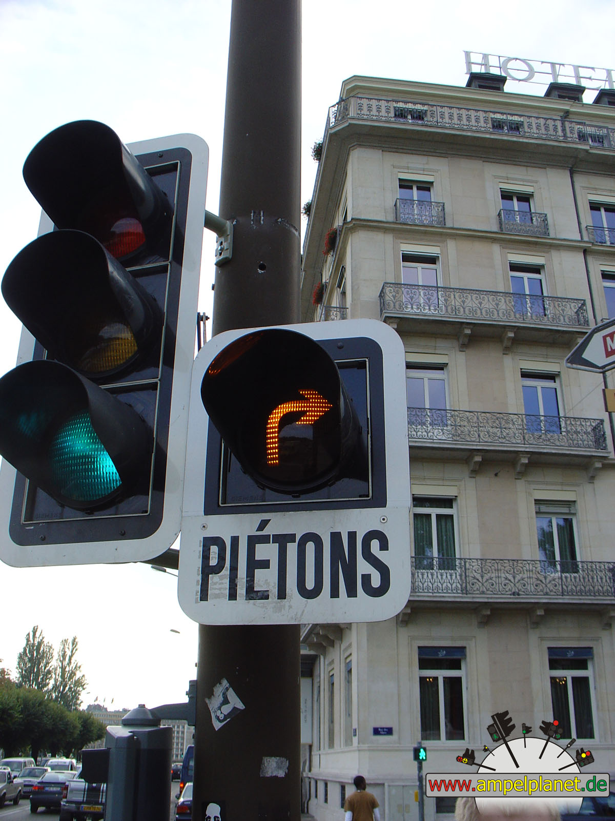
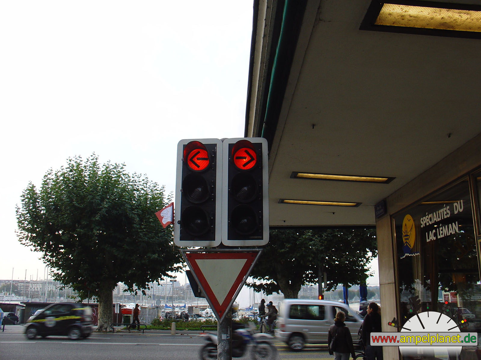
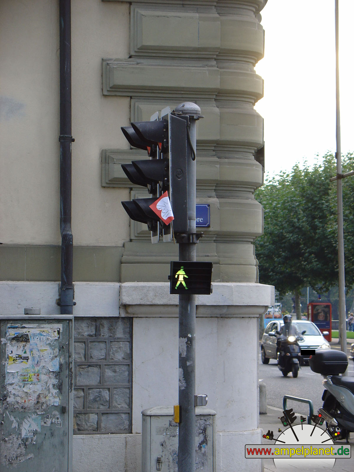
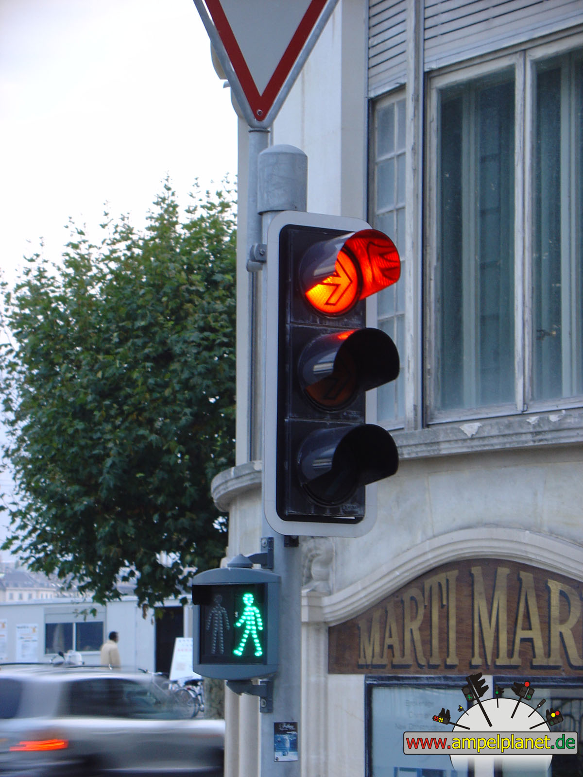
Genève, 10/2007 |
|
|
|
|
|
||||
|
|
Rue de Chantepoulet / Rue Paul-Bochet |
|
Rue de Chantepoulet / Rue du Mont-Blanc |
|
Rue du Mont-Blanc / Quai du Mont-Blanc / Quai des Bergues |
|
Quai Wald-Wilson / Quai du Mont-Blanc / Rue du Léman |
|
|
|
|
|
||||
|
|
Rue des Alpes / Rue de Berne |
|
Rue des Alpes / Rue Francois-Bonivard / Rue Philippe-Plantamour |
|
Rue des Alpes / Rue Francois-Bonivard / Rue Philippe-Plantamour |
|
Quai du Mont-Blanc / Rue des Alpes |
|
|
|
|
|
||||
|
|
Quai Gustave Ador / Rue du 31 Décembre |
|
Quai Gustave Ador / Rue du 31 Décembre |
|
Quai Wald-Wilson / Quai du Mont-Blanc / Rue du Léman |
|
Rue de Lausanne / Rue de Monthoux |
|
|
|
|
|
||||
|
|
Rue de Lausanne / Rue du Môle |
|
Rue de Lausanne / Rue Rothschild |
|
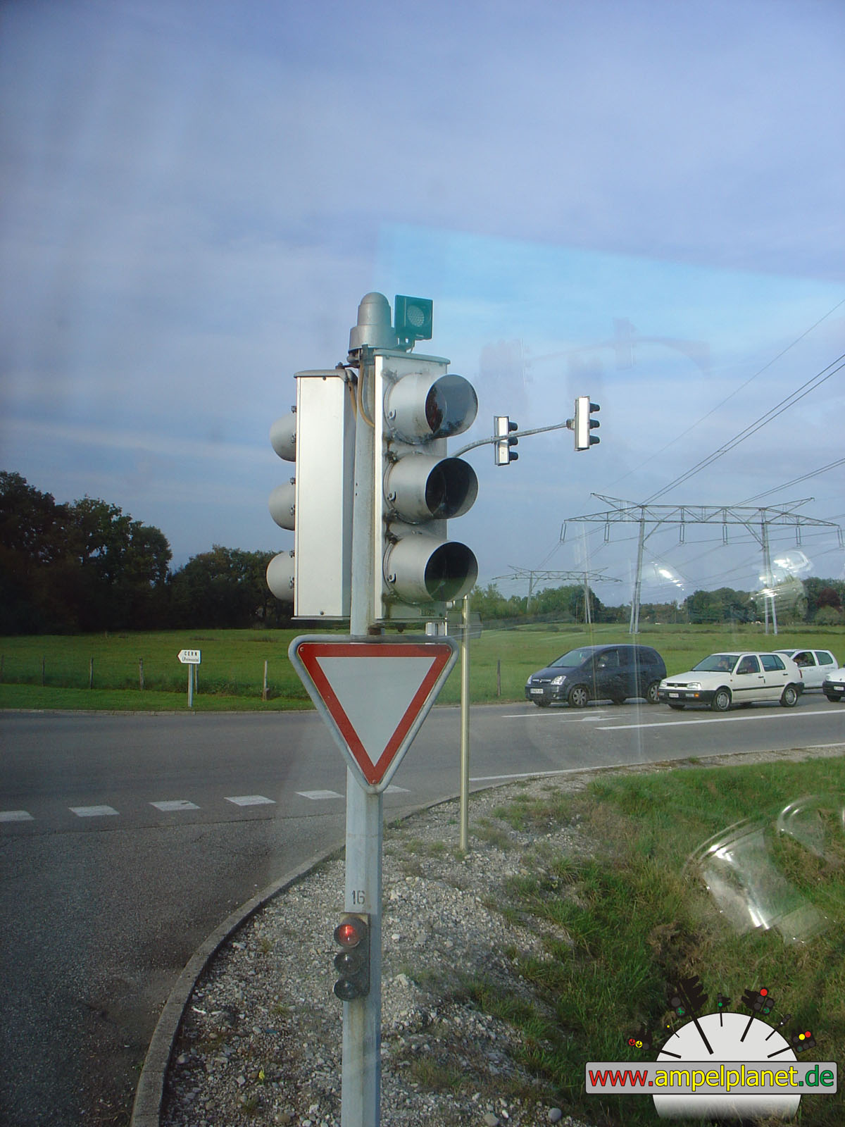
[D35] / Route de l'Europe (Prévessin-Moëns, France) |
||
|
|
|
|
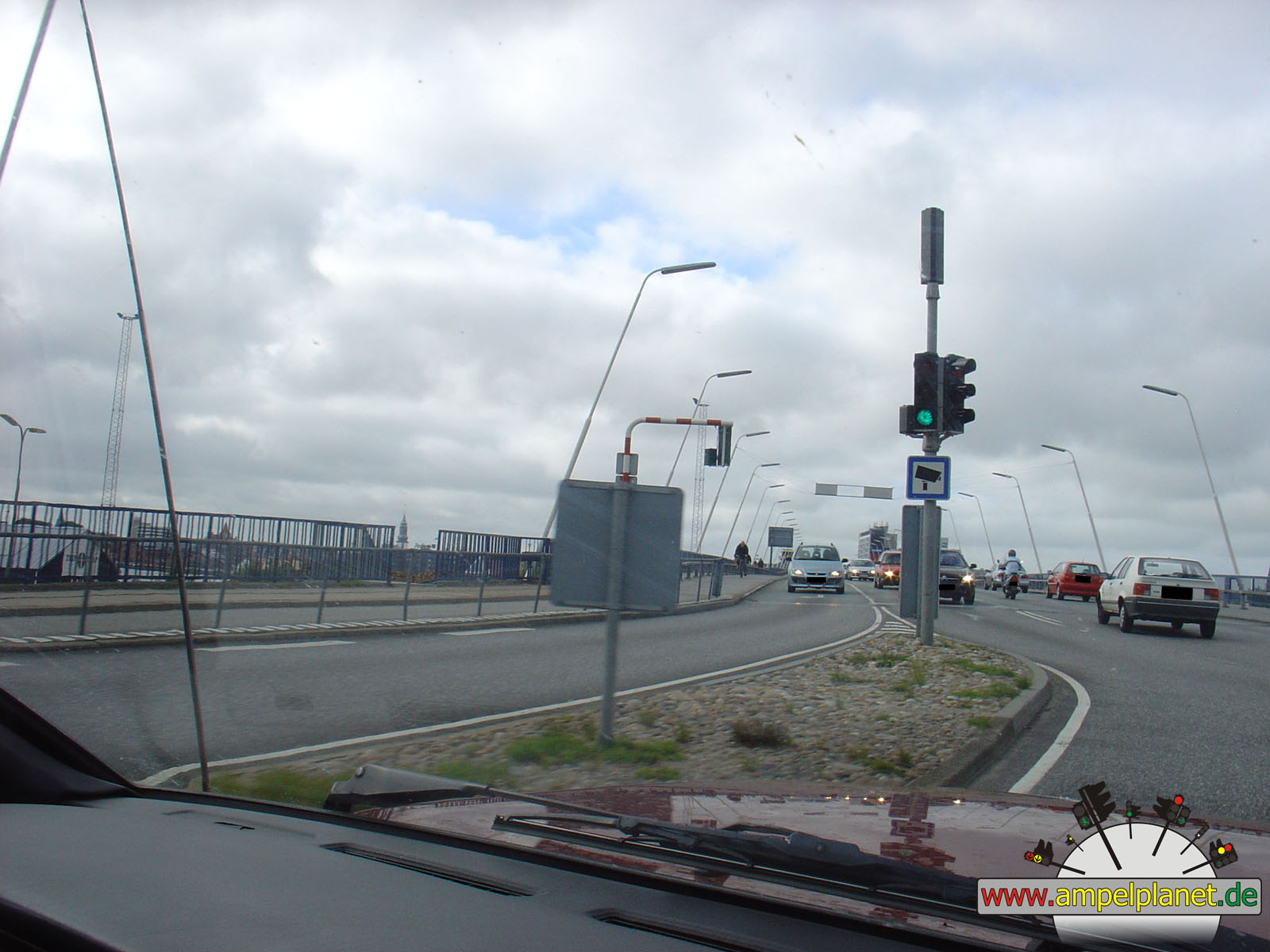
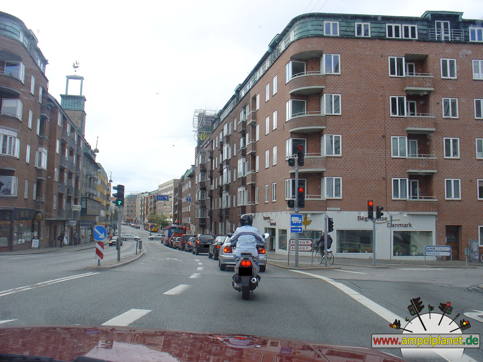
Ålborg, 09/2006 |
|
|
|
|
|
||||
|
|
John F. Kennedys Plads / Prinsensgade |
|
John F. Kennedys Plads / Prinsensgade |
|
John F. Kennedys Plads / Prinsensgade |
|
John F. Kennedys Plads / Prinsensgade |
|
|
|
|
|
||||
|
|
[O2] [180] Vesterbro / Borgergade |
|
[180] Hjørringvej / Forbindelsesvejen |
|
[180] Hjørringvej / Østergade |
|
[180] Østergade / Engvej |
|
|
|
|
|
||||
|
|
[55] Vesterbrogade / [180] Østerbrogade |
|
[O2] [180] Vesterbro / Gammel Strandvej |
|
[O2] [180] Vesterbro / Algade |
|
[O2] [180] Vesterbro / Prinsensgade |
|
|
|
||||||
|
|
[O2] [180] Vesterbro / Hasserisgade |
|
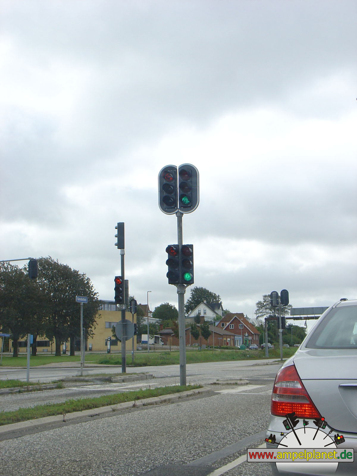
Sønderbro / Ny Kærvej / Gammel Gugvej |
||||
|
|
|
|
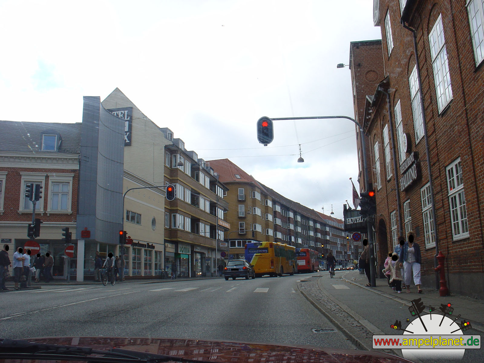
Frederikshavn, 09/2006 |
|
|
|
|
|
||||
|
|
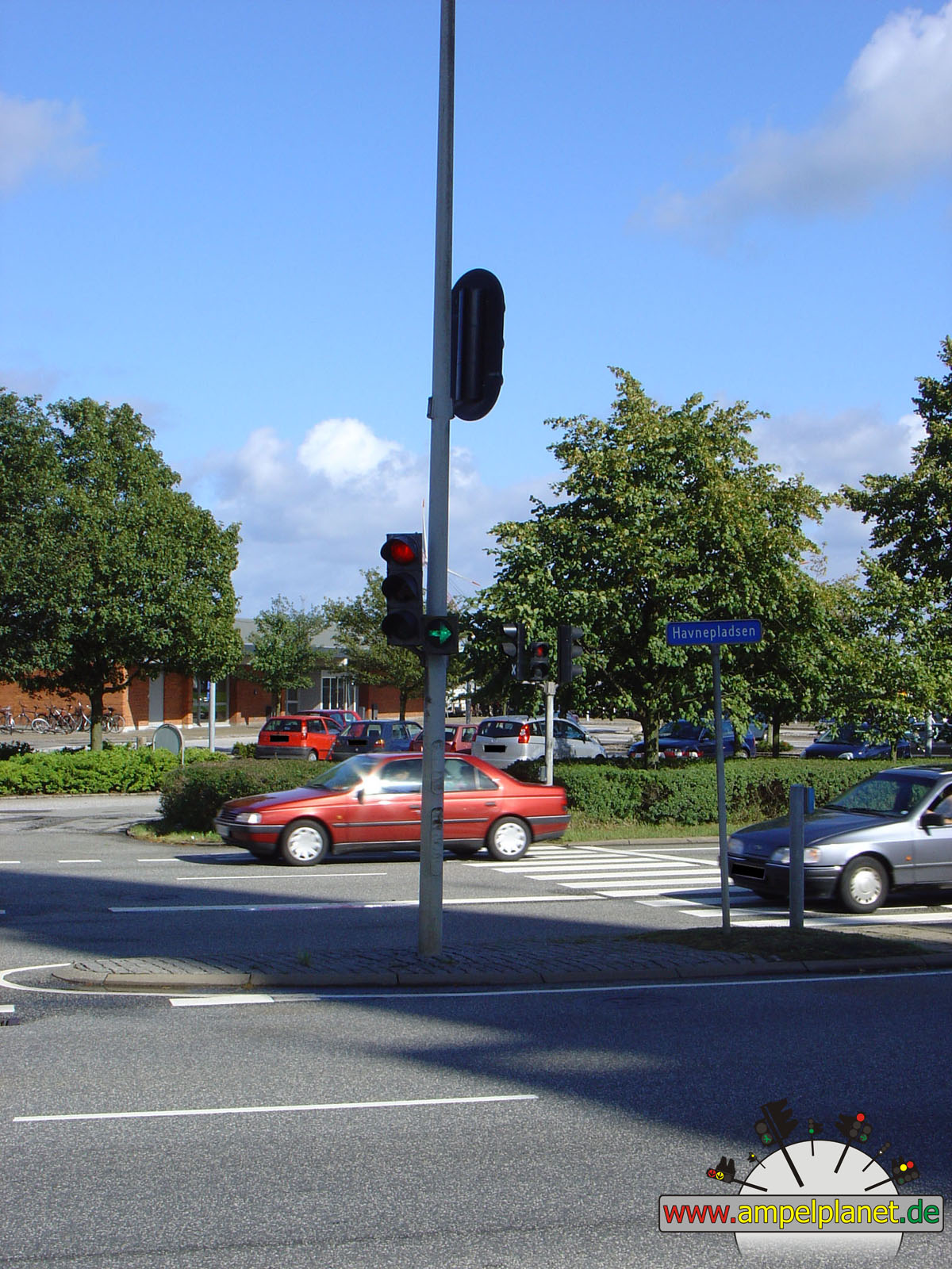
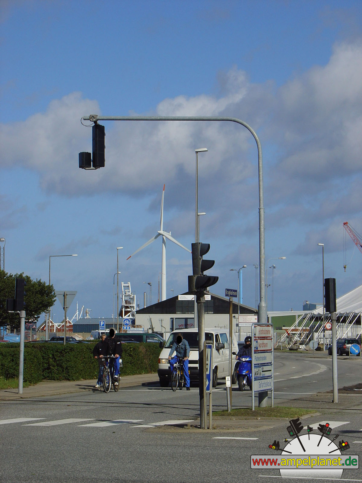
[35] [40] Havnepladsen / Kragholmen |
|
[35] [40] Havnepladsen / Kragholmen |
|
[35] [40] Havnepladsen / Kragholmen |
|
[35] [40] Havnepladsen / Kragholmen |
|
|
|
|
|
||||
|
|
[35] [40] Havnepladsen / Kragholmen |
|
[35] [40] Havnepladsen / Kragholmen |
|
[35] [40] Havnepladsen / Sydhavnsvej / Lodsgade |
|
[35] [40] Havnepladsen / Sydhavnsvej / Lodsgade |
|
|
|
|
|||||
|
|
Rådhus Alle / Rimmensgade / Parallelvej |
|
Rådhus Alle / Rimmensgade / Parallelvej |
|
Rådhus Alle / Rimmensgade / Parallelvej |
||
|
|
|
|
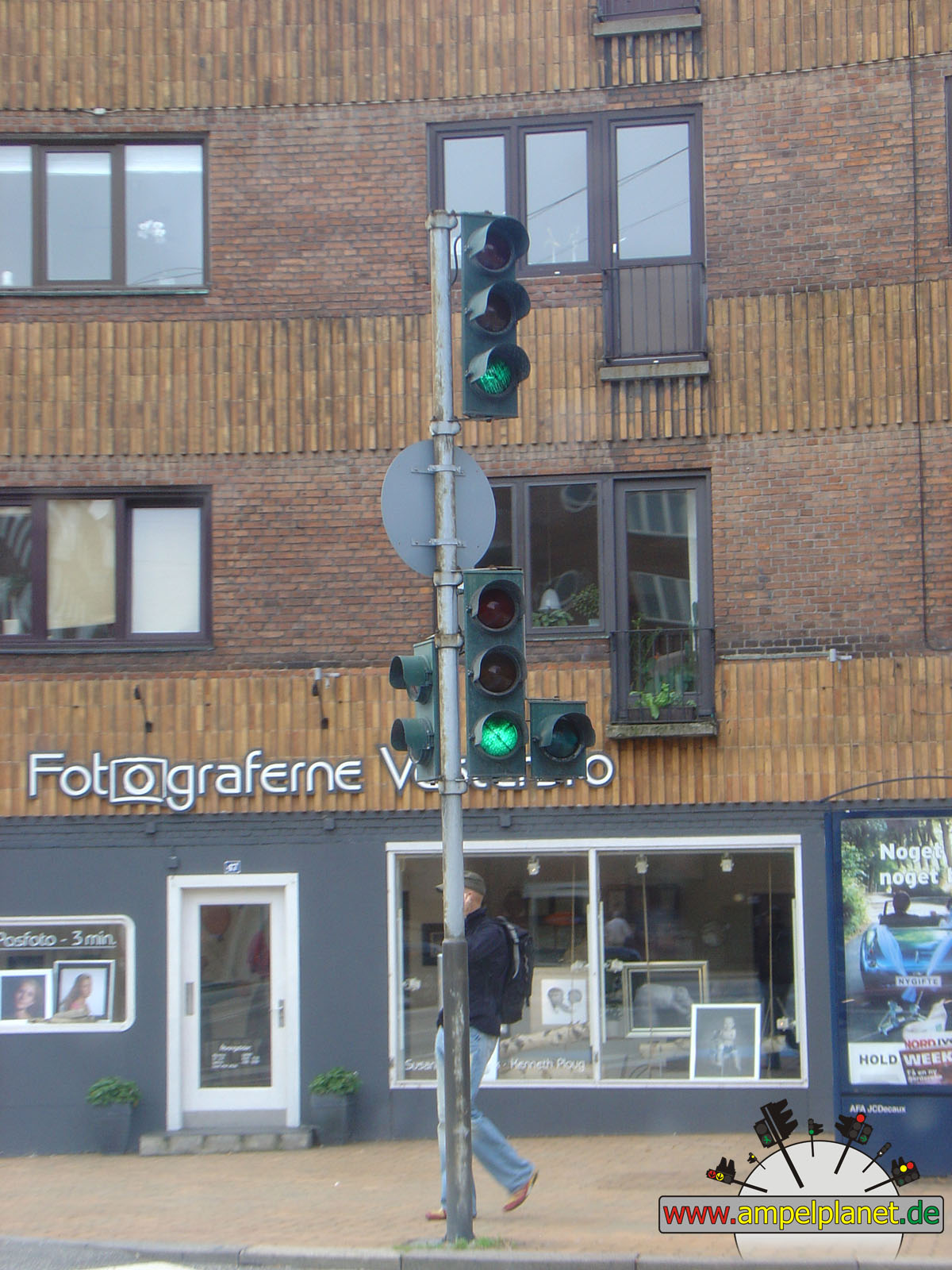
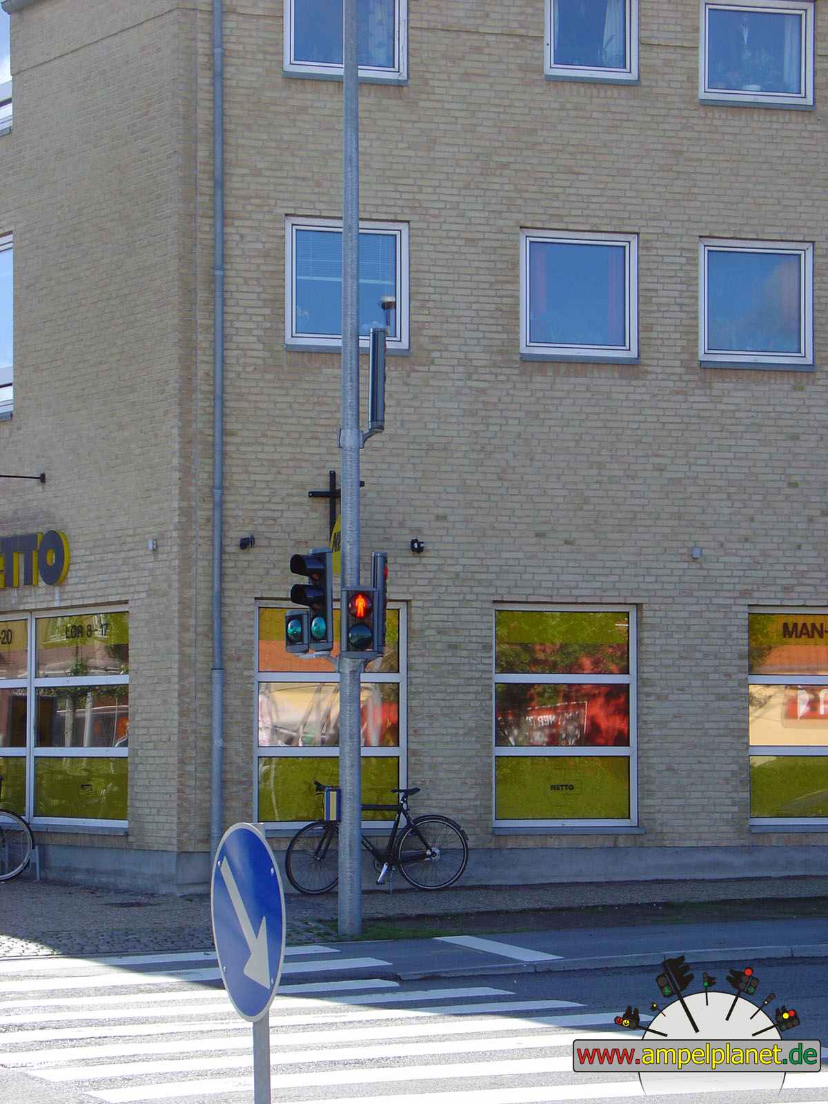
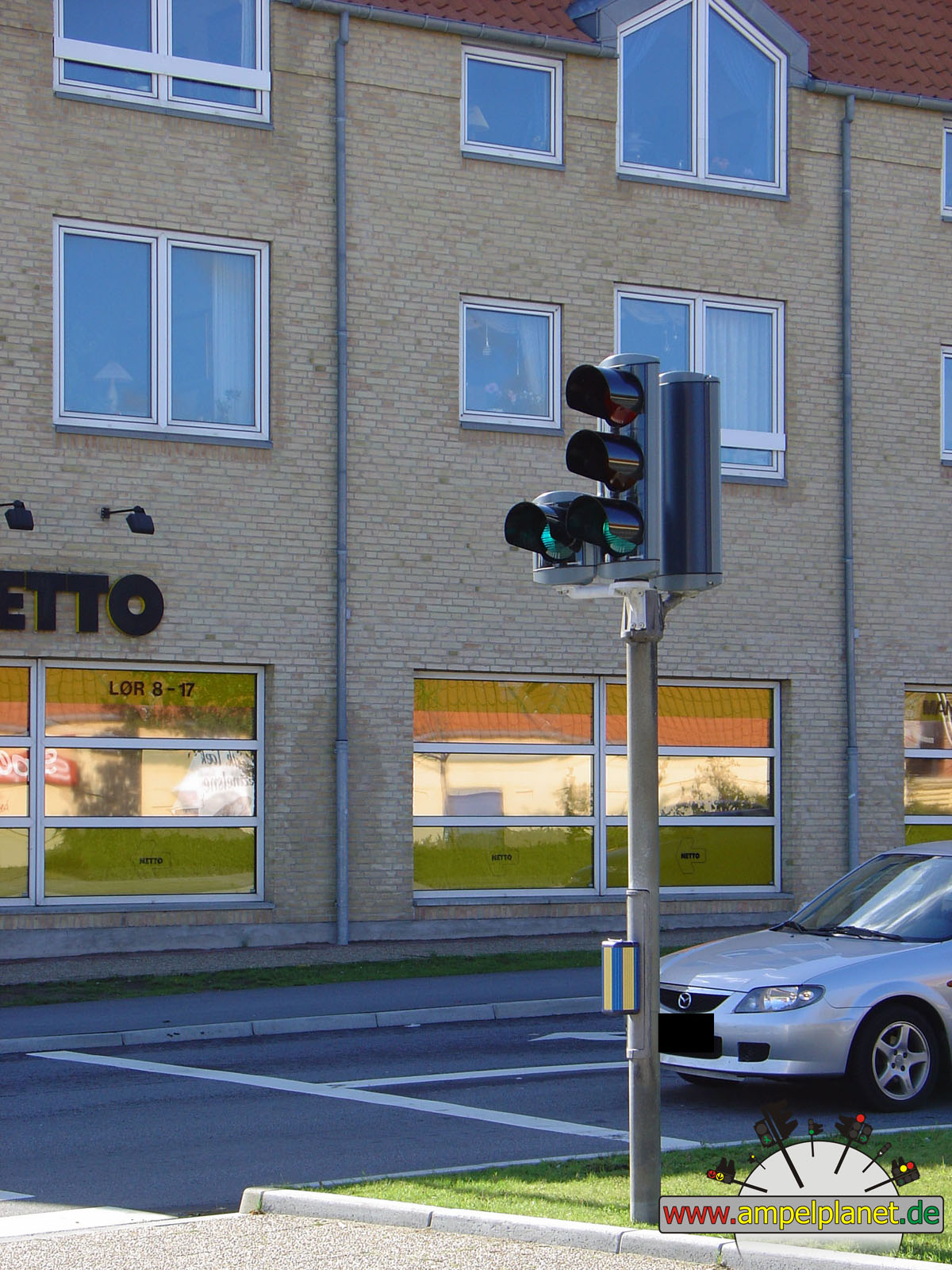
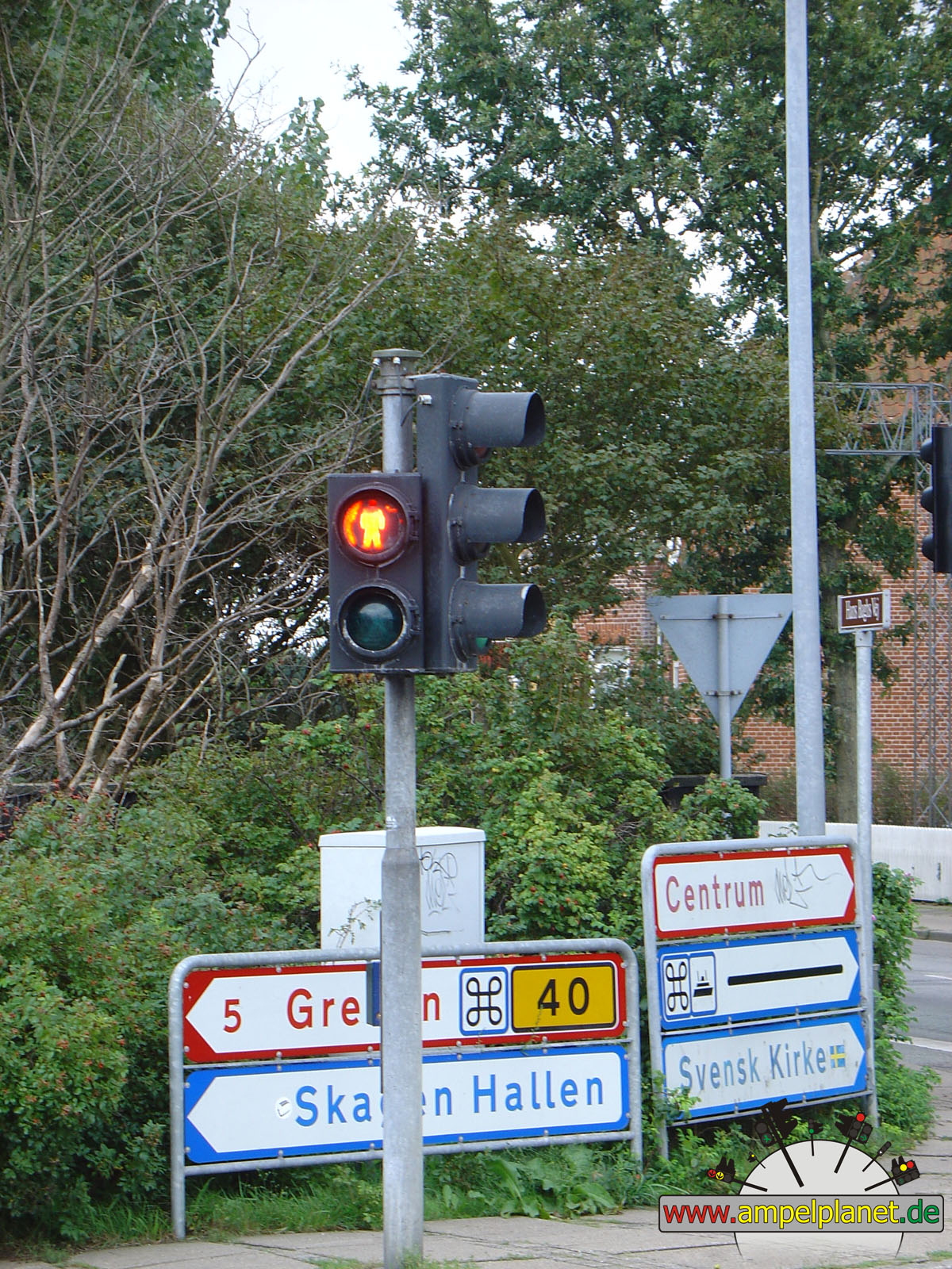
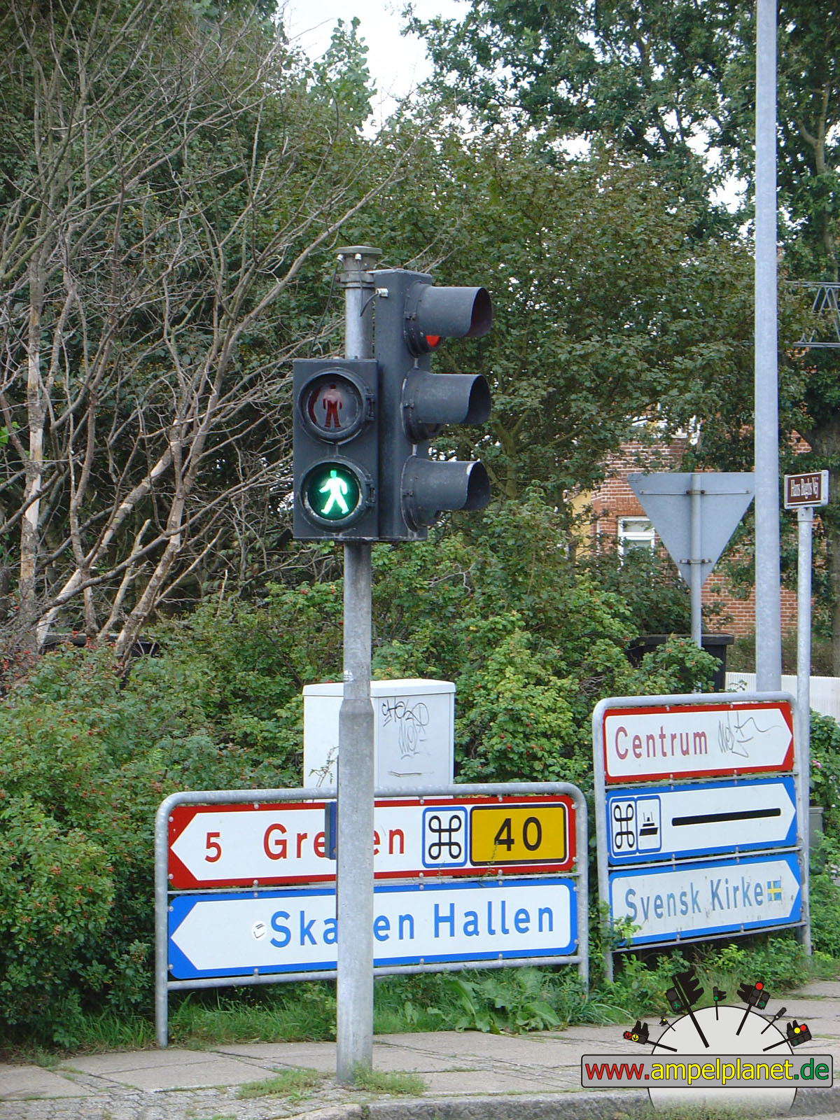
Skagen, 09/2006 |
|
|
|
|
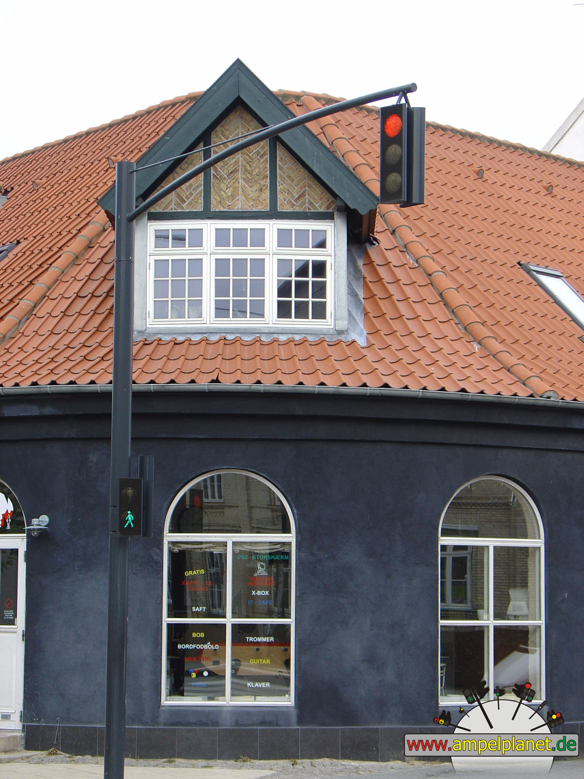
 |
||||
|
|
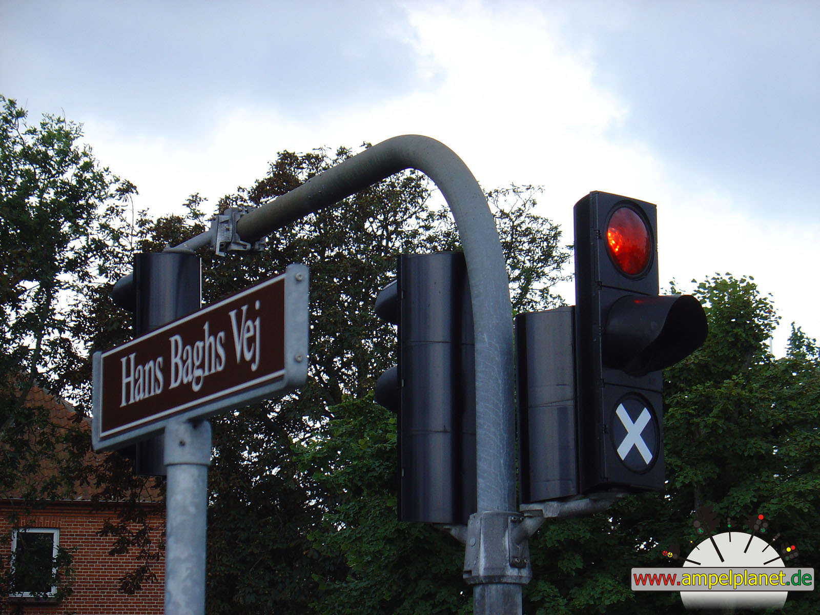
[20] Frederikshavnsvej / [20] Chr. Xs Vej / Buttervej / Hans Baghs Vej |
|
[20] Frederikshavnsvej / [20] Chr. Xs Vej / Buttervej / Hans Baghs Vej |
|
[20] Frederikshavnsvej / [20] Chr. Xs Vej / Buttervej / Hans Baghs Vej |
|
[20] Frederikshavnsvej / [20] Chr. Xs Vej / Buttervej / Hans Baghs Vej |
|
|
|
|
|||||
|
|
[20] Frederikshavnsvej / [20] Chr. Xs Vej / Buttervej / Hans Baghs Vej |
|
[20] Frederikshavnsvej / [20] Chr. Xs Vej / Buttervej / Hans Baghs Vej |
|
[20] Frederikshavnsvej / [20] Chr. Xs Vej / Buttervej / Hans Baghs Vej |
||
|
|
|
|
Hjørring, 09/2006 |
|
|
|
|
|
||||
|
|
[35] Banegårdspladsen / Jernbanegade |
|
[35] Banegårdspladsen / Jernbanegade |
|
[35] Banegårdspladsen / Jernbanegade |
|
[35] Banegårdspladsen / Jernbanegade |
|
|
|
|
|
||||
|
|
[35] Banegårdspladsen / Jernbanegade |
|
[35] Banegårdspladsen / Jernbanegade |
|
[35] Banegårdspladsen / Jernbanegade |
|
[35] Banegårdspladsen / Jernbanegade |
|
|
|
|
|
||||
|
|
[35] Banegårdspladsen / [35] Vestbanegade / Dronningsgade |
|
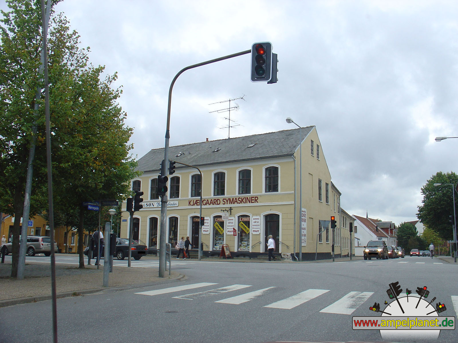
Nørregade / Skolegade / Søndergade |
|
Nørregade / Skolegade / Søndergade |
|
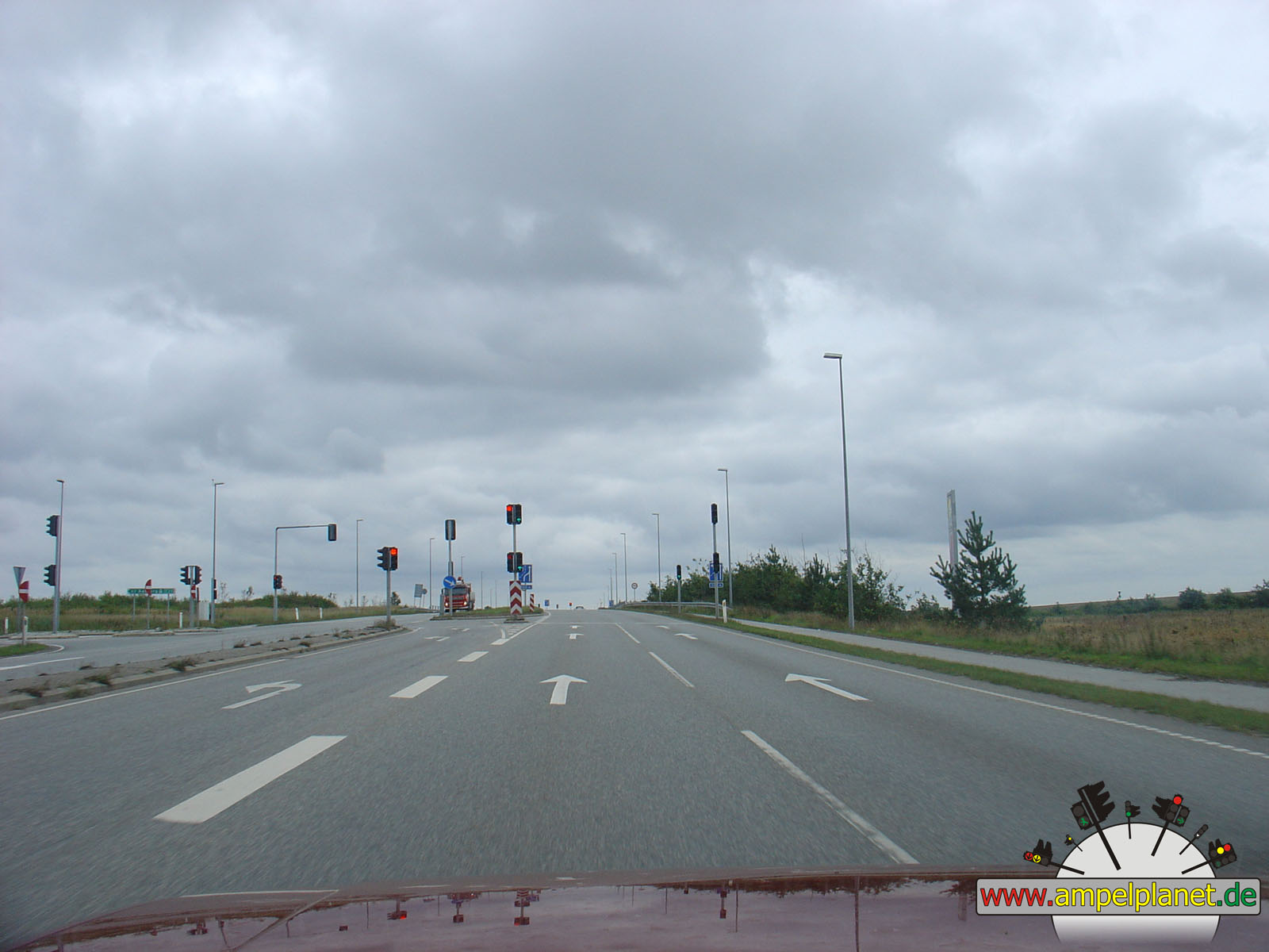
Frederikshavnsvej / [E39] Hirtshalsmotorvejen (Udkørsel 3) |
|
|
|
|
Assen, 08/2006 |
|
|
|
|
 |
||||
|
|
Jan Fabriciusstraat / Javastraat / Rolderstraat |
|
Jan Fabriciusstraat / Javastraat / Rolderstraat |
|
Jan Fabriciusstraat / Javastraat / Rolderstraat |
|
[N371] Balkenweg / Balkendwarsweg |
|
|
|
|
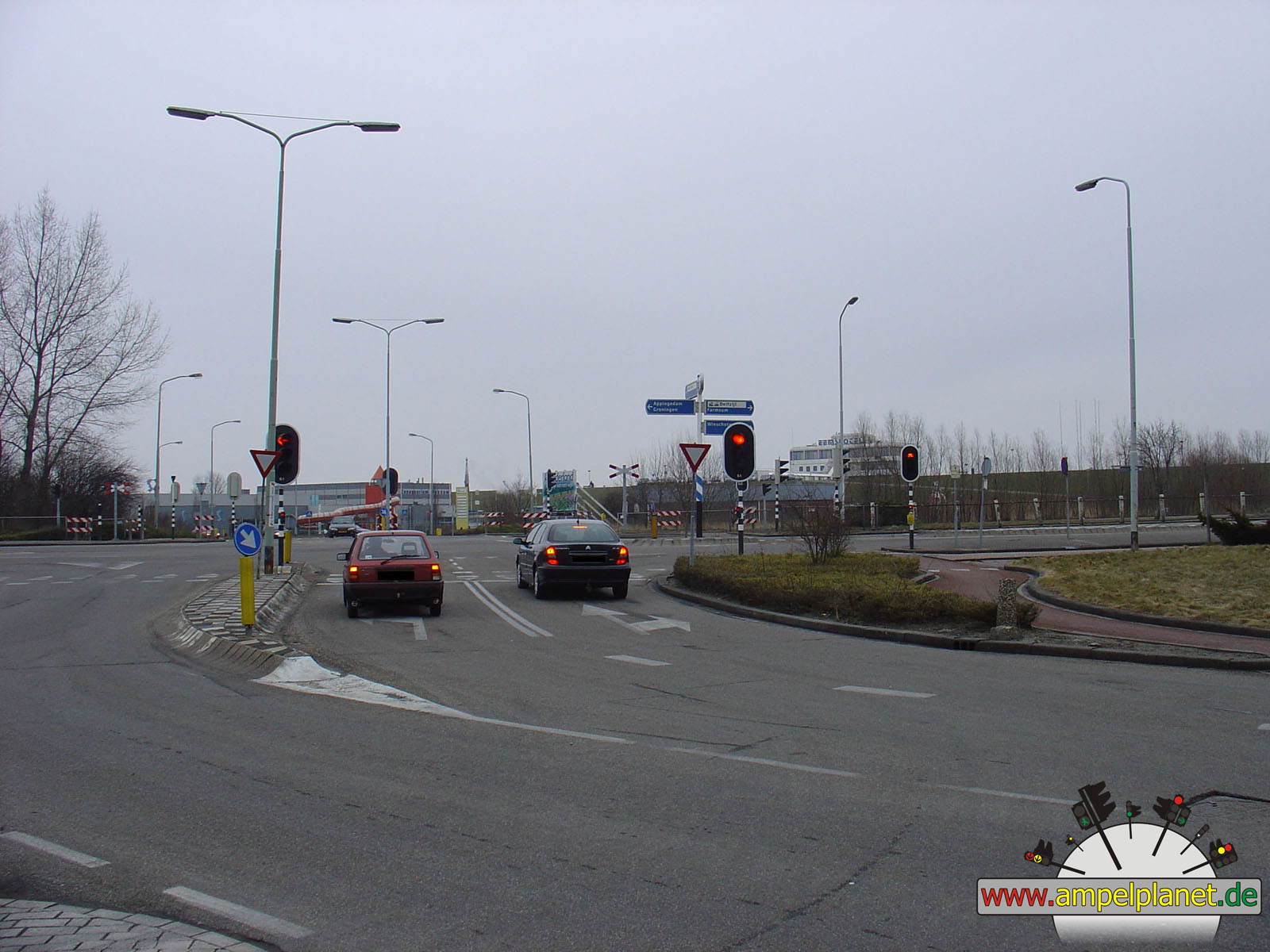
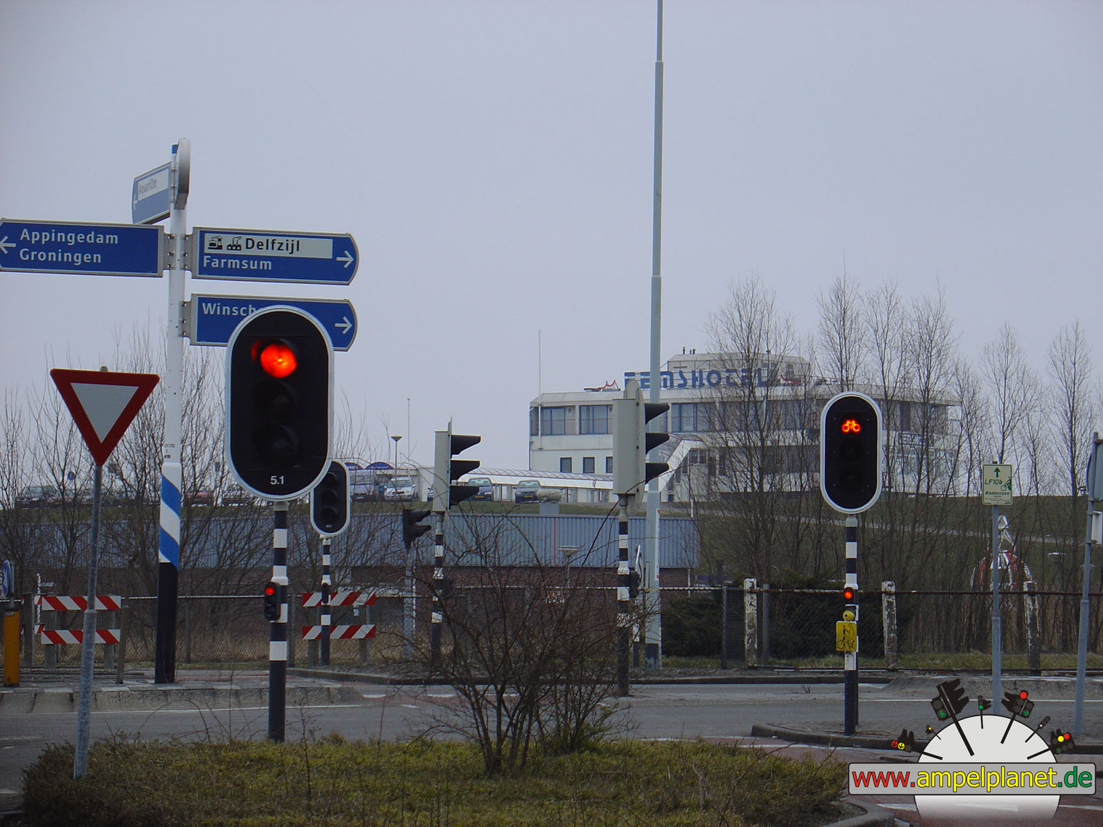
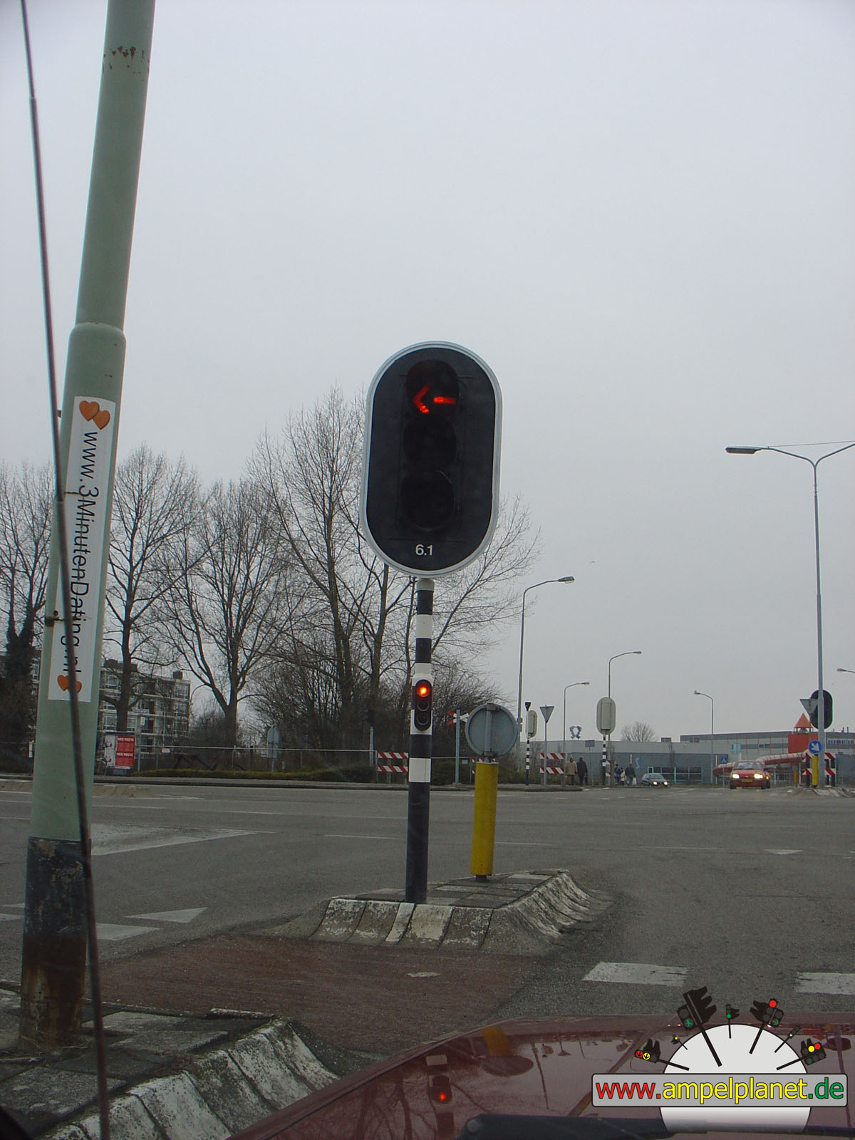
Delfzijl, 03/2006 |
|
|
|
|
|
||||
|
|
Stationsweg / Kustweg |
|
Stationsweg / Kustweg |
|
Stationsweg / Kustweg |
|
Stationsweg / Kustweg |
|
|
|||||||
|
|
Stationsweg / Kustweg |
||||||
|
|
|
|
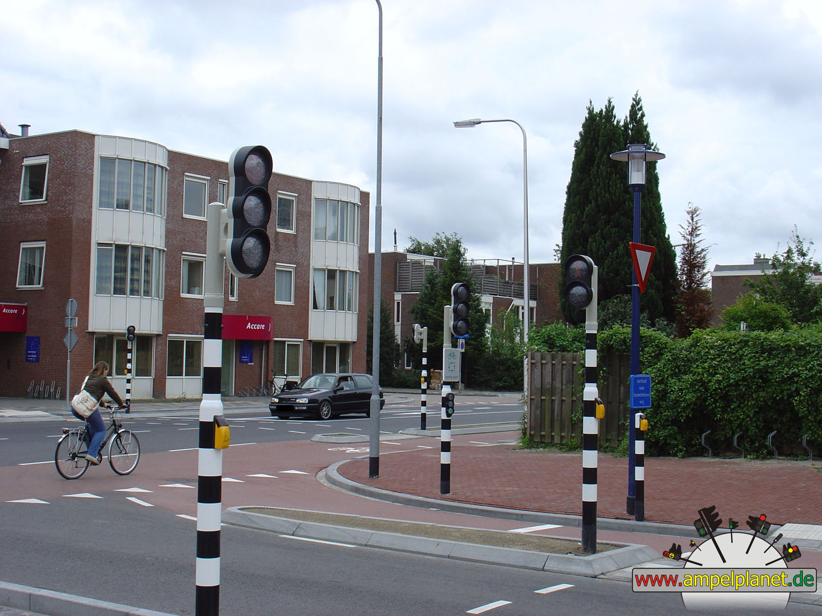
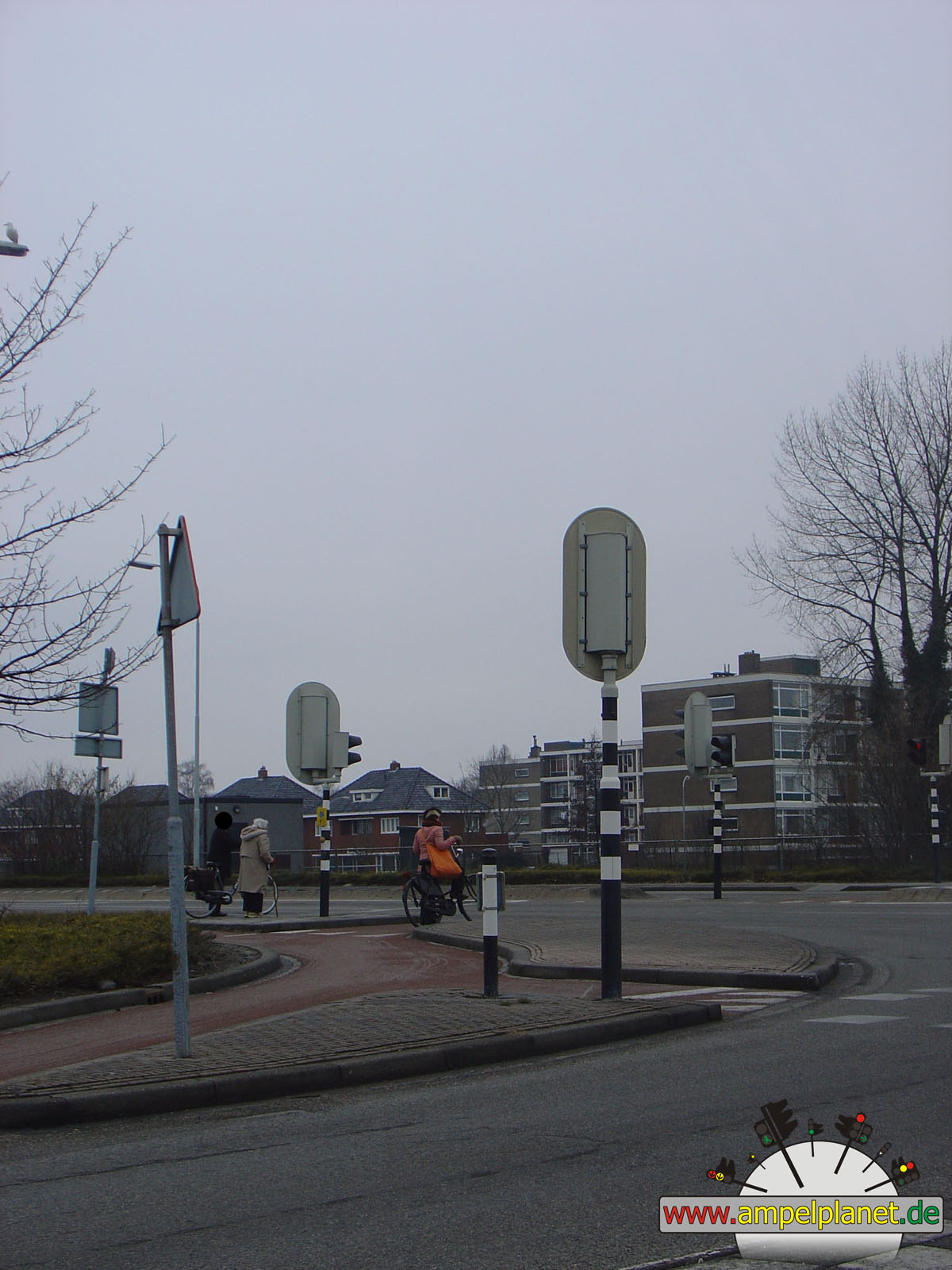
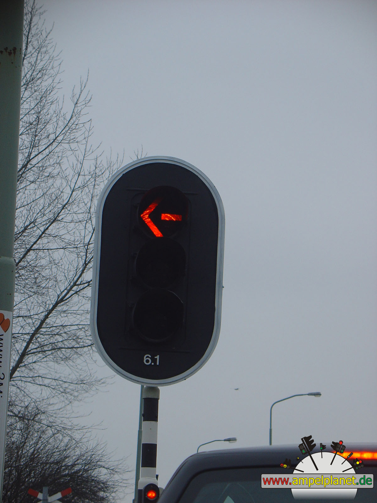
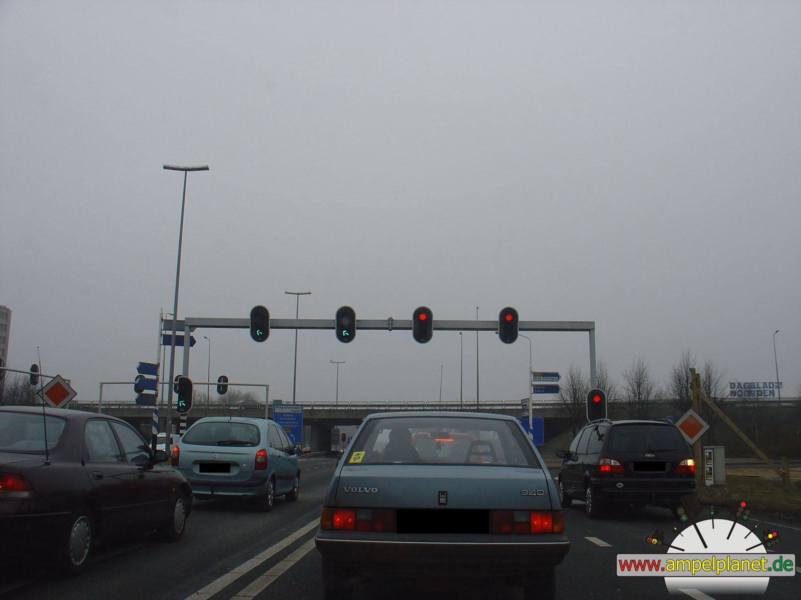
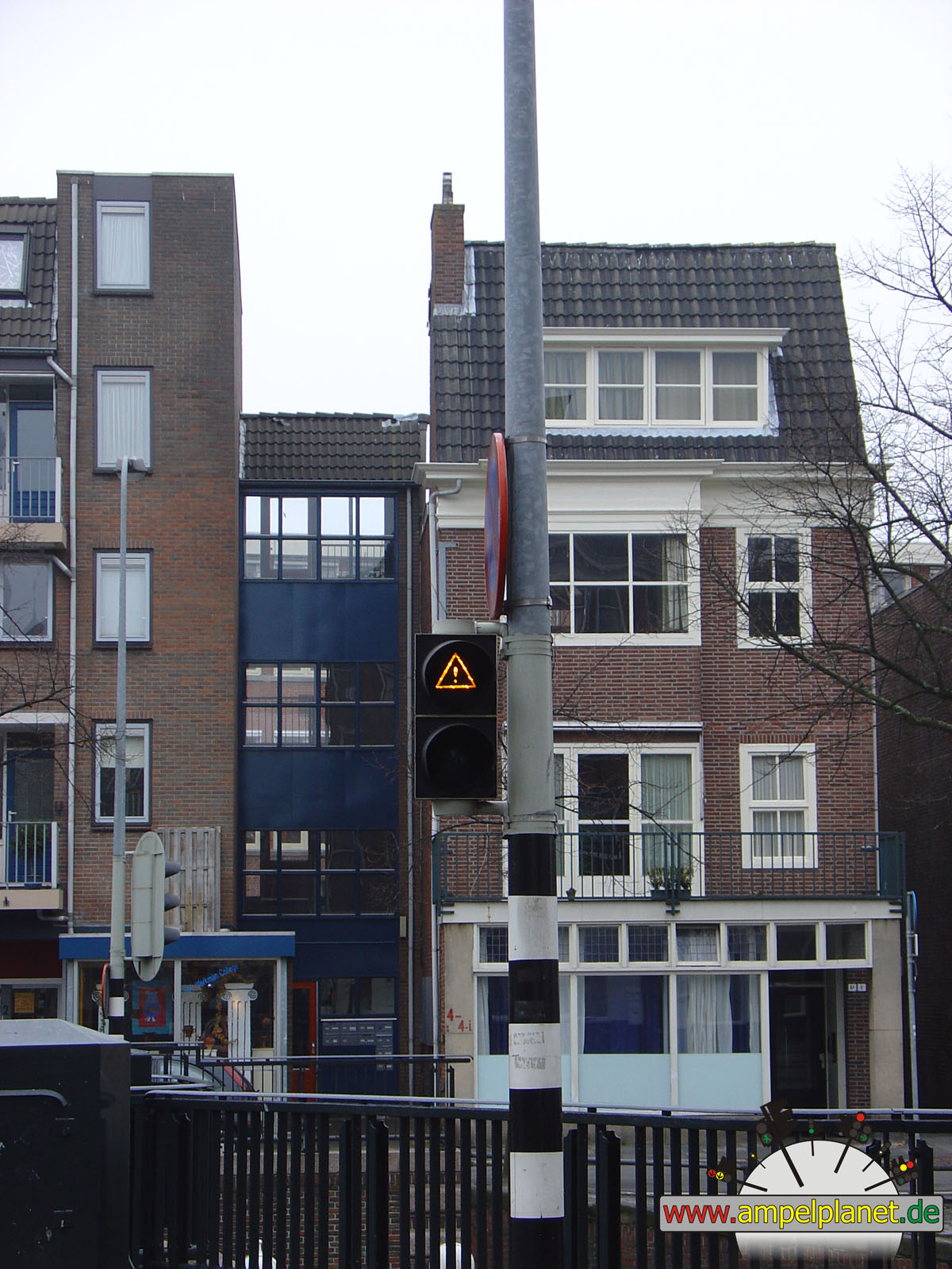
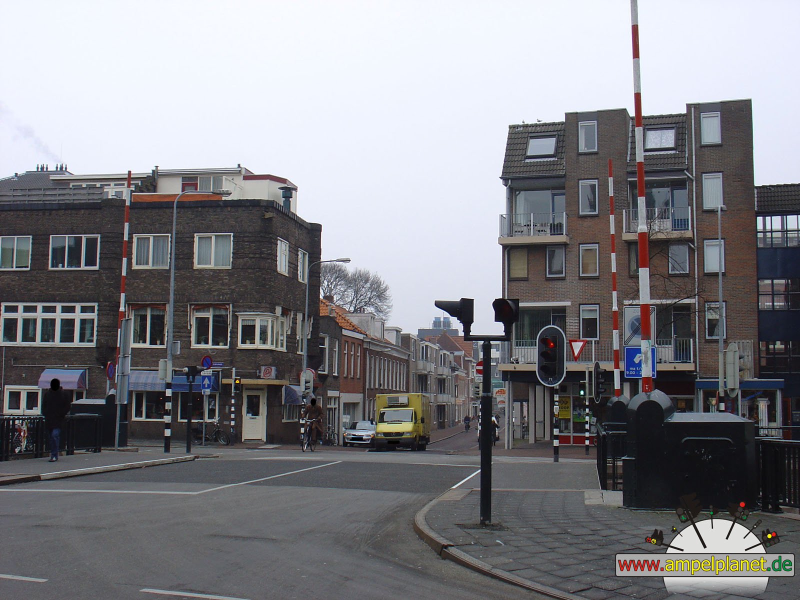
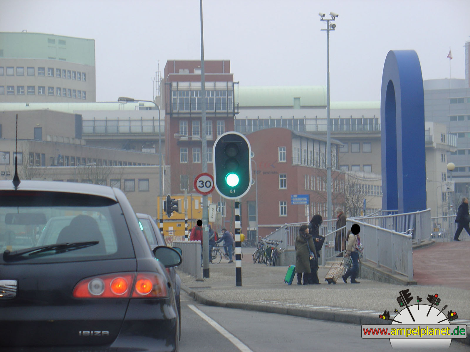
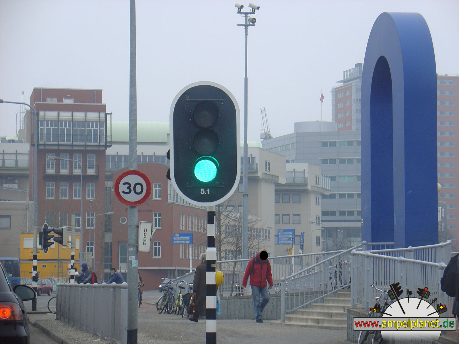
Groningen, 03/2006 |
|
|
|
|
|
||||
|
|
[E22] Beneluxweg / Europaweg |
|
Europaweg / Griffeweg / Sontweg |
|
Schuitendiep / Sint Jansbrug / Sint Jansstraat / Turfsingel |
|
Schuitendiep / Sint Jansbrug / Sint Jansstraat / Turfsingel |
|
|
|
|
|
||||
|
|
Schuitendiep / Sint Jansbrug / Sint Jansstraat / Turfsingel |
|
Stationsweg / Stationsplein |
|
Stationsweg / Stationsplein |
||
|
|
|
|
Emden, 03/2006 |
|
|
|||||||
|
|
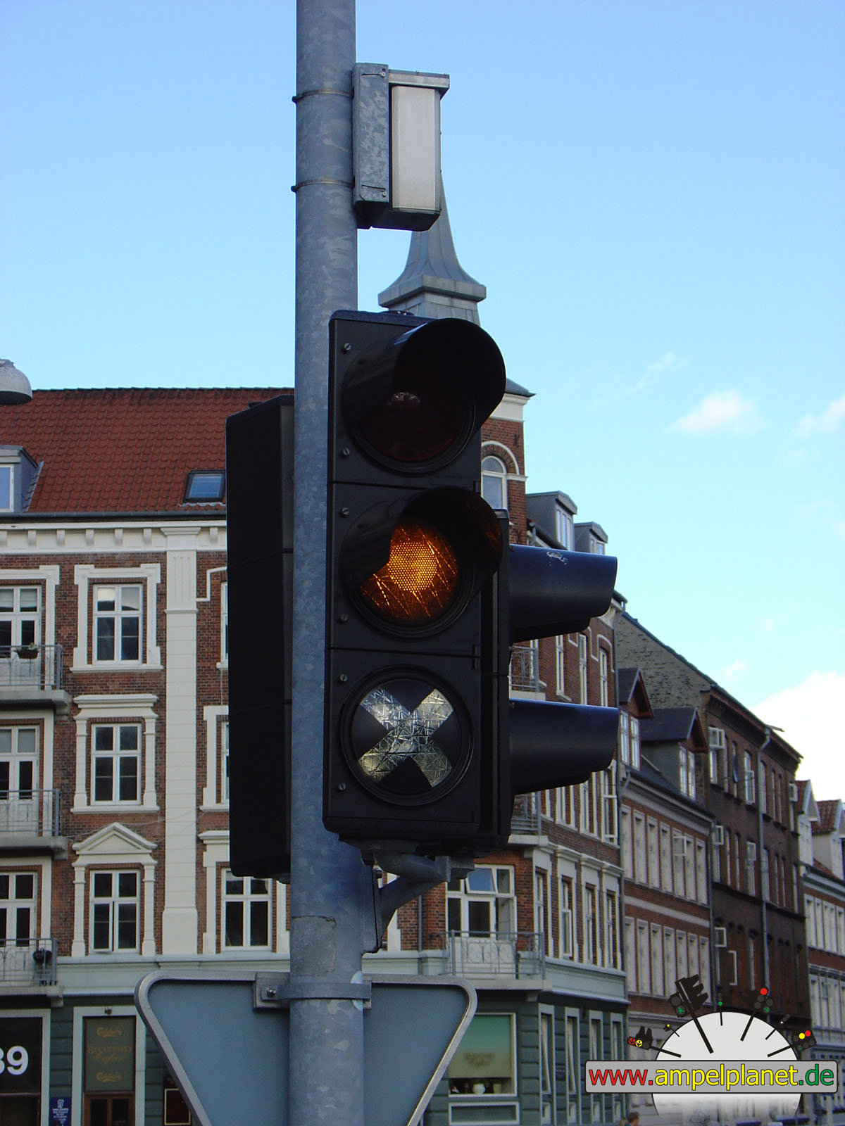
Neutorstraße / K39 Zwischen Beiden Bleichen |
||||||
|
|
|
|
Øster Doense, 08/2004 |
|
|
 |
||||||
|
|
Storegade / Kastaniealle |
|
Storegade / Kastaniealle | ||||
|
|